| Memorials | : | 0 |
| Location | : | Healey, Northumberland Unitary Authority, England |
| Coordinate | : | 54.8706180, -2.0084840 |
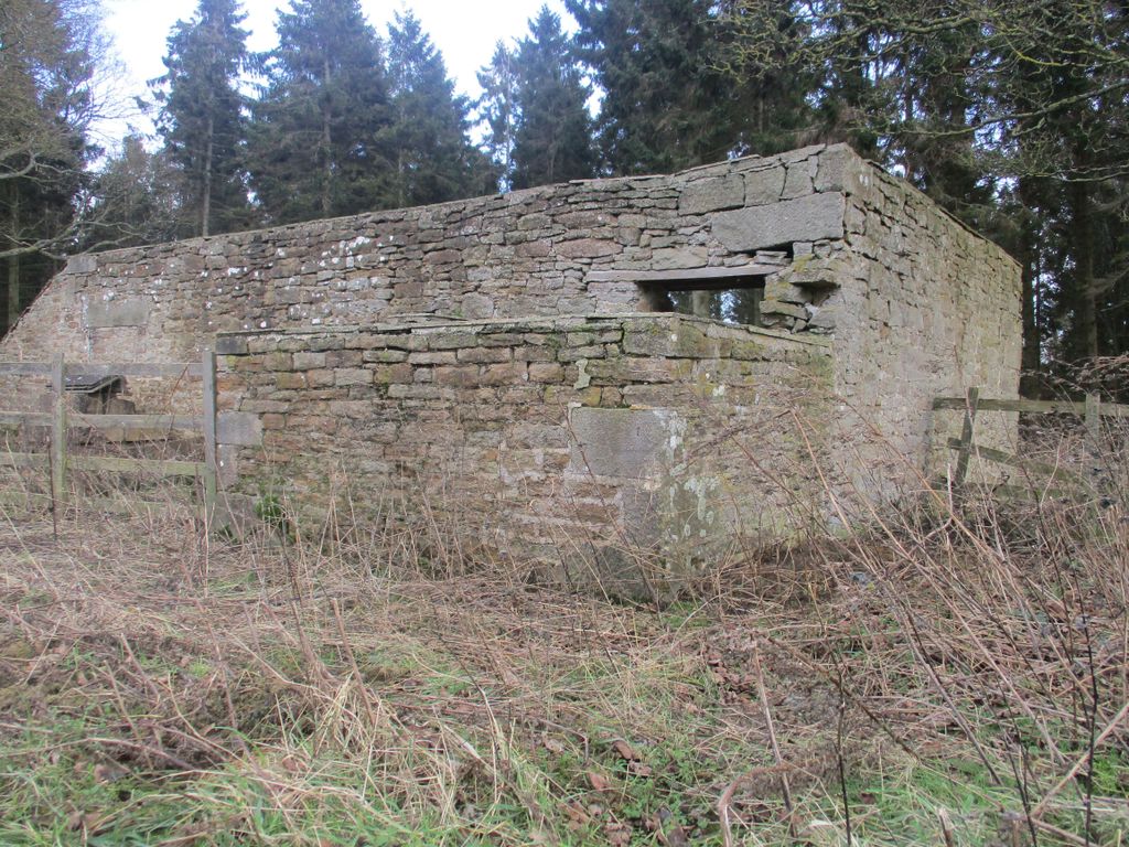
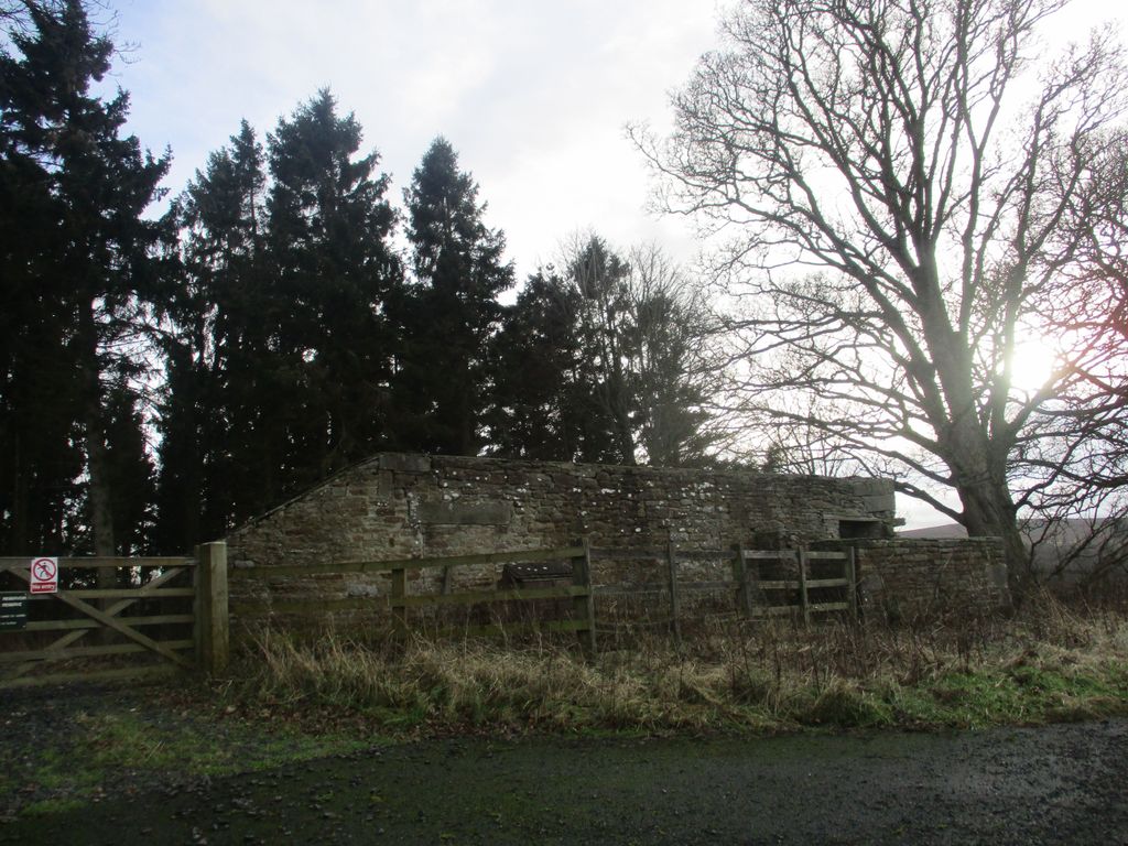
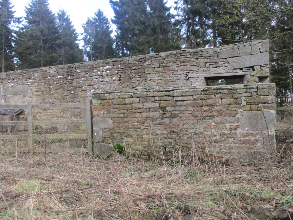
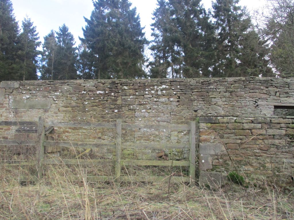
| Description | : | The Meeting House was built in 1766 for the Society of Friends or Quakers as they are also known. It now stands in ruins. There is a burial ground about 90m south of the chapel surrounded by a stone wall, but there are no memorials left. The chapel can be found in the parish of Healey, on a minor road close to the edge of Derwent Reservoir opposite Winnowshill Farm. |
frequently asked questions (FAQ):
-
Where is Winnowshill Friends' Meeting House?
Winnowshill Friends' Meeting House is located at Healey, Northumberland Unitary Authority ,Northumberland , DH8 9PQEngland.
-
Winnowshill Friends' Meeting House cemetery's updated grave count on graveviews.com?
0 memorials
-
Where are the coordinates of the Winnowshill Friends' Meeting House?
Latitude: 54.8706180
Longitude: -2.0084840
Nearby Cemetories:
1. St. Edmunds Churchyard
Edmundbyers, Durham Unitary Authority, England
Coordinate: 54.8440300, -1.9790400
2. Church of Saint Mary
Blanchland, Northumberland Unitary Authority, England
Coordinate: 54.8484000, -2.0541000
3. Saint Andrew’s Churchyard
Kiln Pit Hill, Northumberland Unitary Authority, England
Coordinate: 54.8916000, -1.9307000
4. All Saints Churchyard
Muggleswick, Durham Unitary Authority, England
Coordinate: 54.8442600, -1.9326700
5. St John's Churchyard
Healey, Northumberland Unitary Authority, England
Coordinate: 54.9200850, -1.9790940
6. St James Churchyard
Hunstanworth, Durham Unitary Authority, England
Coordinate: 54.8358650, -2.0807750
7. Hindley and Broomley Churchyard
Broomley, Northumberland Unitary Authority, England
Coordinate: 54.9279100, -1.9339700
8. St Matthew Churchyard
Consett, Durham Unitary Authority, England
Coordinate: 54.8040630, -1.9239040
9. Castleside Cemetery
Consett, Durham Unitary Authority, England
Coordinate: 54.8300800, -1.8834900
10. Moorside Cemetery
Consett, Durham Unitary Authority, England
Coordinate: 54.8409330, -1.8709330
11. St. Peter's Churchyard
Bywell, Northumberland Unitary Authority, England
Coordinate: 54.9476800, -1.9249700
12. St Andrew's Churchyard
Bywell, Northumberland Unitary Authority, England
Coordinate: 54.9482010, -1.9258340
13. Rowley Burial Ground
Consett, Durham Unitary Authority, England
Coordinate: 54.8262177, -1.8656499
14. Blackhill Cemetery
Consett, Durham Unitary Authority, England
Coordinate: 54.8609100, -1.8451580
15. Dilston Castle Chapelyard
Corbridge, Northumberland Unitary Authority, England
Coordinate: 54.9639270, -2.0393460
16. Corbridge Cemetery
Corbridge, Northumberland Unitary Authority, England
Coordinate: 54.9693100, -2.0263500
17. St Ebba’s Churchyard
Ebchester, Durham Unitary Authority, England
Coordinate: 54.8938660, -1.8401650
18. St Andrew's Churchyard
Corbridge, Northumberland Unitary Authority, England
Coordinate: 54.9745300, -2.0197400
19. St George's Churchyard
Mickley, Northumberland Unitary Authority, England
Coordinate: 54.9498300, -1.8831900
20. Old Churchyard
Eastgate, Durham Unitary Authority, England
Coordinate: 54.7751710, -2.0933400
21. Rookhope Cemetery
Eastgate, Durham Unitary Authority, England
Coordinate: 54.7744000, -2.0916800
22. Sacred Heart Roman Catholic Cemetery
Low Westwood, Durham Unitary Authority, England
Coordinate: 54.9009080, -1.8258350
23. Low Westwood Cemetery
Low Westwood, Durham Unitary Authority, England
Coordinate: 54.9008900, -1.8257700
24. Low Westwood Christ Churchyard
Low Westwood, Durham Unitary Authority, England
Coordinate: 54.9030390, -1.8246450


