
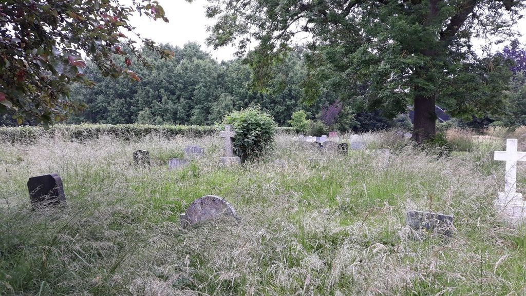
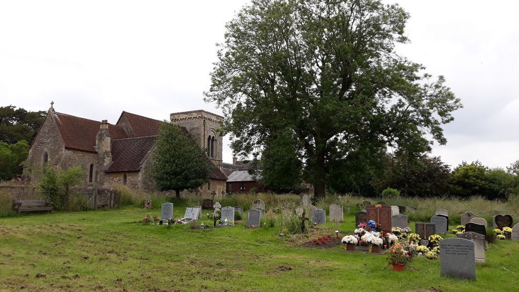
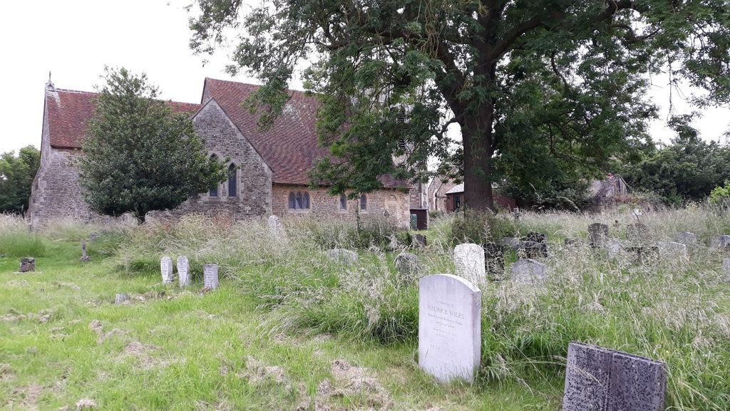
| Memorials | : | 0 |
| Location | : | Sandford-on-Thames, South Oxfordshire District, England |
| Website | : | www.sandfordchurch.org.uk/ |
| Coordinate | : | 51.7121430, -1.2289060 |
frequently asked questions (FAQ):
-
Where is St. Andrew's Churchyard?
St. Andrew's Churchyard is located at 26 Church Road Sandford-on-Thames, South Oxfordshire District ,Oxfordshire , OX4 4XZEngland.
-
St. Andrew's Churchyard cemetery's updated grave count on graveviews.com?
0 memorials
-
Where are the coordinates of the St. Andrew's Churchyard?
Latitude: 51.7121430
Longitude: -1.2289060
Nearby Cemetories:
1. Littlemore Chapel
Littlemore, City of Oxford, England
Coordinate: 51.7208320, -1.2270330
2. Kennington Cemetery
Kennington, Vale of White Horse District, England
Coordinate: 51.7055400, -1.2397800
3. St Mary and St Nicholas Churchyard
Littlemore, City of Oxford, England
Coordinate: 51.7210753, -1.2232272
4. St Mary the Virgin Churchyard
Iffley, City of Oxford, England
Coordinate: 51.7273590, -1.2381680
5. St. James Churchyard
Cowley, City of Oxford, England
Coordinate: 51.7305878, -1.2202638
6. Rose Hill Cemetery
Oxford, City of Oxford, England
Coordinate: 51.7320960, -1.2254070
7. St. James the Great Churchyard
Radley, Vale of White Horse District, England
Coordinate: 51.6907270, -1.2462510
8. Radley Cemetery
Radley, Vale of White Horse District, England
Coordinate: 51.6893900, -1.2446800
9. All Saints Parish Churchyard
Nuneham Courtenay, South Oxfordshire District, England
Coordinate: 51.6882380, -1.2057616
10. St Laurence Churchyard
South Hinksey, Vale of White Horse District, England
Coordinate: 51.7319218, -1.2635270
11. St Peter Churchyard
Marsh Baldon, South Oxfordshire District, England
Coordinate: 51.6941870, -1.1884550
12. Old All Saints Church
Nuneham Courtenay, South Oxfordshire District, England
Coordinate: 51.6805300, -1.2181300
13. Greyfriars
Oxford, City of Oxford, England
Coordinate: 51.7437920, -1.2401460
14. St Mary and St John Church
Oxford, City of Oxford, England
Coordinate: 51.7452501, -1.2314021
15. St Lawrence Churchyard
Toot Baldon, South Oxfordshire District, England
Coordinate: 51.7051720, -1.1750220
16. St Leonard's Churchyard
Sunningwell, Vale of White Horse District, England
Coordinate: 51.7013600, -1.2840500
17. St Matthews Church
Oxford, City of Oxford, England
Coordinate: 51.7442200, -1.2585480
18. St Ignatius’ Chapel
Oxford, City of Oxford, England
Coordinate: 51.7503160, -1.2396720
19. St. Aldate's Churchyard
Oxford, City of Oxford, England
Coordinate: 51.7497900, -1.2118500
20. St. Clements Churchyard
Oxford, City of Oxford, England
Coordinate: 51.7527790, -1.2369920
21. Christ Church Cathedral
Oxford, City of Oxford, England
Coordinate: 51.7500620, -1.2547160
22. Magdalen College Chapel
Oxford, City of Oxford, England
Coordinate: 51.7519830, -1.2469820
23. Corpus Christi College Chapel
Oxford, City of Oxford, England
Coordinate: 51.7507010, -1.2534236
24. Merton College chapel
Oxford, City of Oxford, England
Coordinate: 51.7510500, -1.2526620