
| Memorials | : | 1 |
| Location | : | East Hagbourne, South Oxfordshire District, England |
| Website | : | easthagbourne.net/directory/east-and-west-hagbourne-cemetery/ |
| Coordinate | : | 51.5912000, -1.2460500 |
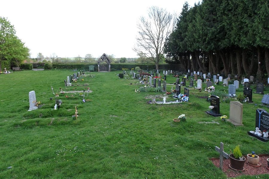
| Description | : | This belongs to St. Andrew's Church, and is some distance West of it. The cemetery is also known as 'East and West Hagbourne Cemetery' |
frequently asked questions (FAQ):
-
Where is St Andrew Church Cemetery?
St Andrew Church Cemetery is located at Main Road, East Hagbourne, Oxfordshire East Hagbourne, South Oxfordshire District ,Oxfordshire ,England.
-
St Andrew Church Cemetery cemetery's updated grave count on graveviews.com?
1 memorials
-
Where are the coordinates of the St Andrew Church Cemetery?
Latitude: 51.5912000
Longitude: -1.2460500
Nearby Cemetories:
1. St. Andrew Churchyard
East Hagbourne, South Oxfordshire District, England
Coordinate: 51.5902000, -1.2430000
2. St Andrew's Church
East Hagbourne, South Oxfordshire District, England
Coordinate: 51.5901700, -1.2427700
3. Didcot Cemetery
Didcot, South Oxfordshire District, England
Coordinate: 51.6033500, -1.2438400
4. All Saints Churchyard
Didcot, South Oxfordshire District, England
Coordinate: 51.6107791, -1.2508990
5. St. Michael Churchyard
Blewbury, Vale of White Horse District, England
Coordinate: 51.5693100, -1.2346100
6. St Michael Churchyard Extension
Blewbury, Vale of White Horse District, England
Coordinate: 51.5668100, -1.2429900
7. Harwell Cemetery
Harwell, Vale of White Horse District, England
Coordinate: 51.5985200, -1.2885900
8. Saint Matthews Churchyard
Harwell, Vale of White Horse District, England
Coordinate: 51.5983510, -1.2908880
9. All Saints Churchyard
Aston Upthorpe, South Oxfordshire District, England
Coordinate: 51.5715900, -1.2037500
10. South Moreton Strict Baptist Chapel
South Moreton, South Oxfordshire District, England
Coordinate: 51.5900300, -1.1924310
11. St. John the Baptist South Moreton
South Moreton, South Oxfordshire District, England
Coordinate: 51.5881630, -1.1895850
12. St Michael's Cemetery
Aston Tirrold, South Oxfordshire District, England
Coordinate: 51.5730994, -1.1967145
13. All Saints Churchyard
North Moreton, South Oxfordshire District, England
Coordinate: 51.6021922, -1.1898247
14. Ss. Peter and Paul Churchyard
Appleford, Vale of White Horse District, England
Coordinate: 51.6396800, -1.2356090
15. St Blaise Churchyard
Milton, Vale of White Horse District, England
Coordinate: 51.6284810, -1.3003670
16. Sutton Courtenay Village Cemetery
Sutton Courtenay, Vale of White Horse District, England
Coordinate: 51.6394000, -1.2746000
17. St. Agatha New Churchyard
Brightwell cum Sotwell, South Oxfordshire District, England
Coordinate: 51.6131480, -1.1665480
18. All Saints Churchyard
Sutton Courtenay, Vale of White Horse District, England
Coordinate: 51.6442680, -1.2718070
19. St. Mary's Churchyard
Cholsey, South Oxfordshire District, England
Coordinate: 51.5788078, -1.1589500
20. St Mary the Virgin Churchyard
Long Wittenham, South Oxfordshire District, England
Coordinate: 51.6423650, -1.2092860
21. St Mary Roman Catholic Churchyard
East Hendred, Vale of White Horse District, England
Coordinate: 51.5937960, -1.3363240
22. St. Augustine of Canterbury Churchyard
East Hendred, Vale of White Horse District, England
Coordinate: 51.5944074, -1.3382489
23. Cat Street Cemetery
East Hendred, Vale of White Horse District, England
Coordinate: 51.5964877, -1.3397450
24. St Michaels and All Angels Churchyard
Steventon, Vale of White Horse District, England
Coordinate: 51.6196200, -1.3305500