
| Memorials | : | 0 |
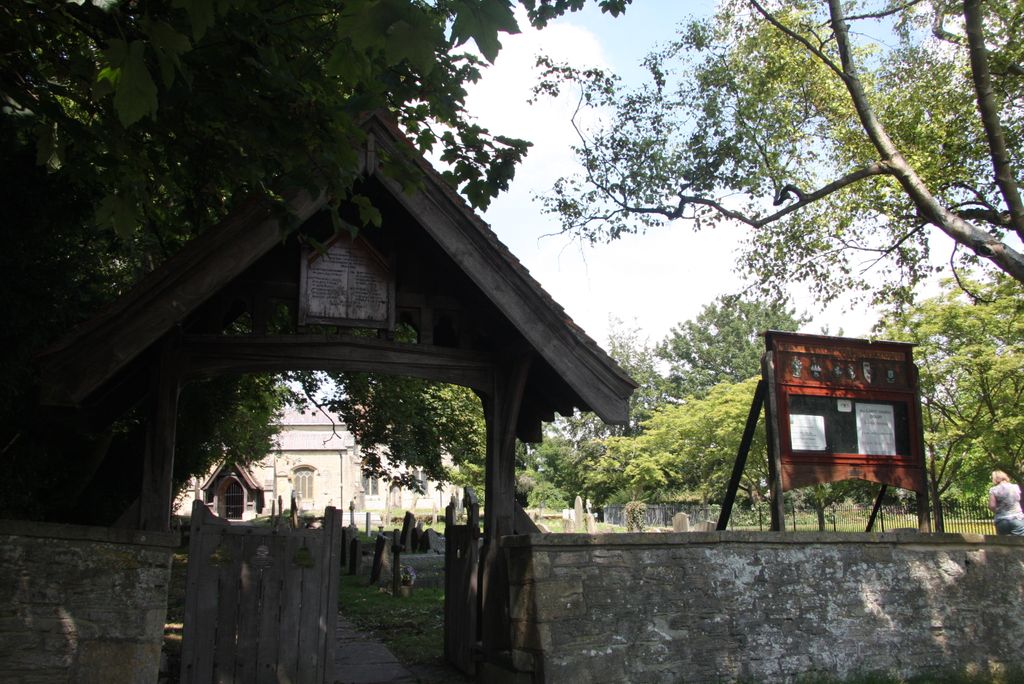
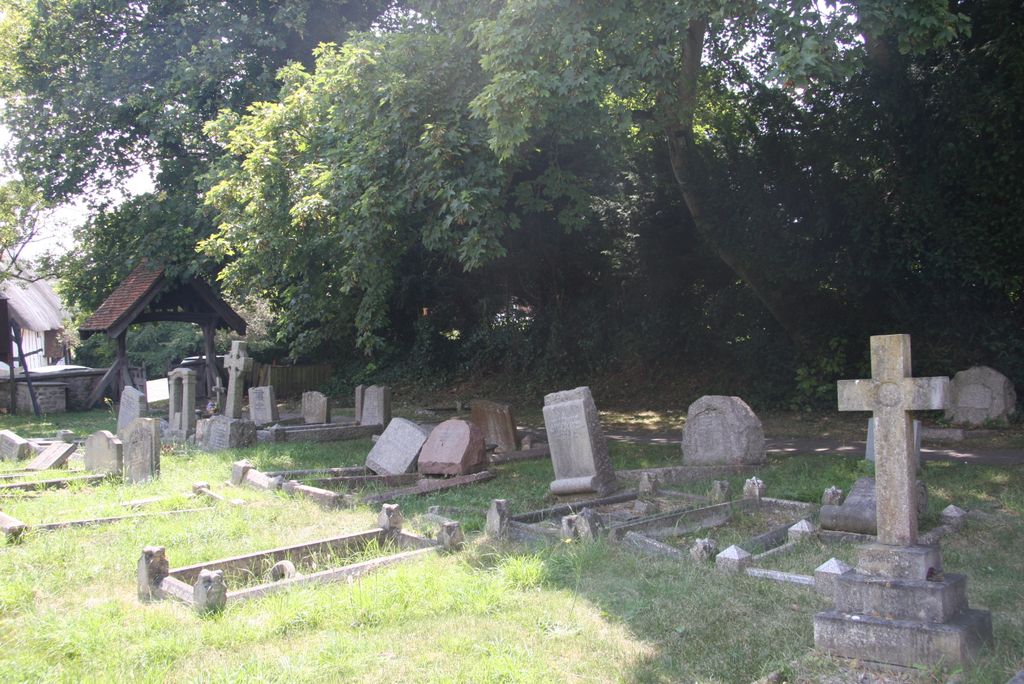
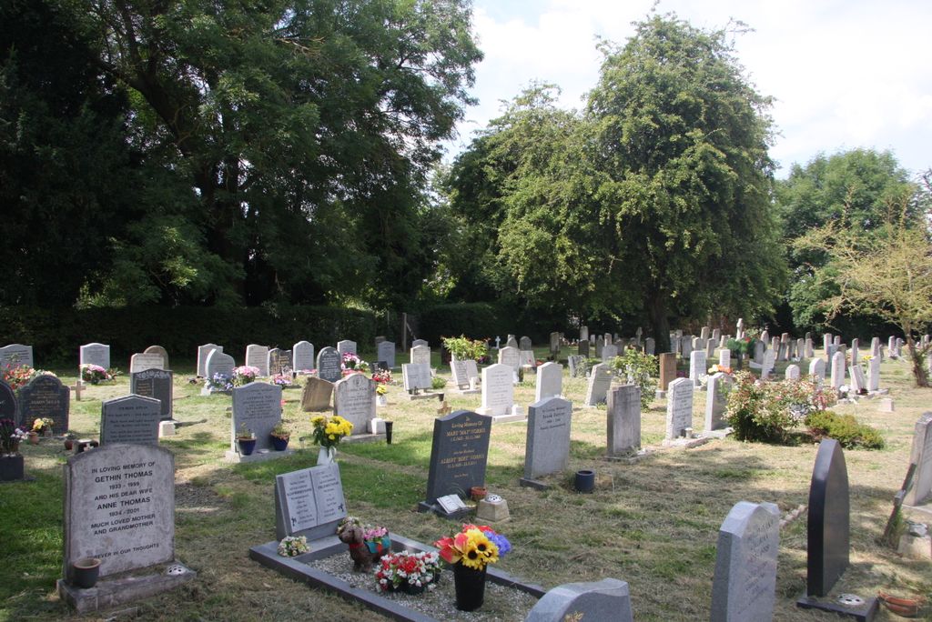
| Location | : | Didcot, South Oxfordshire District, England |
| Coordinate | : | 51.6107791, -1.2508990 |
frequently asked questions (FAQ):
-
Where is All Saints Churchyard?
All Saints Churchyard is located at Didcot, South Oxfordshire District ,Oxfordshire ,England.
-
All Saints Churchyard cemetery's updated grave count on graveviews.com?
0 memorials
-
Where are the coordinates of the All Saints Churchyard?
Latitude: 51.6107791
Longitude: -1.2508990
Nearby Cemetories:
1. Didcot Cemetery
Didcot, South Oxfordshire District, England
Coordinate: 51.6033500, -1.2438400
2. St Andrew Church Cemetery
East Hagbourne, South Oxfordshire District, England
Coordinate: 51.5912000, -1.2460500
3. St. Andrew Churchyard
East Hagbourne, South Oxfordshire District, England
Coordinate: 51.5902000, -1.2430000
4. St Andrew's Church
East Hagbourne, South Oxfordshire District, England
Coordinate: 51.5901700, -1.2427700
5. Harwell Cemetery
Harwell, Vale of White Horse District, England
Coordinate: 51.5985200, -1.2885900
6. Saint Matthews Churchyard
Harwell, Vale of White Horse District, England
Coordinate: 51.5983510, -1.2908880
7. Ss. Peter and Paul Churchyard
Appleford, Vale of White Horse District, England
Coordinate: 51.6396800, -1.2356090
8. Sutton Courtenay Village Cemetery
Sutton Courtenay, Vale of White Horse District, England
Coordinate: 51.6394000, -1.2746000
9. St Blaise Churchyard
Milton, Vale of White Horse District, England
Coordinate: 51.6284810, -1.3003670
10. All Saints Churchyard
Sutton Courtenay, Vale of White Horse District, England
Coordinate: 51.6442680, -1.2718070
11. All Saints Churchyard
North Moreton, South Oxfordshire District, England
Coordinate: 51.6021922, -1.1898247
12. St Mary the Virgin Churchyard
Long Wittenham, South Oxfordshire District, England
Coordinate: 51.6423650, -1.2092860
13. South Moreton Strict Baptist Chapel
South Moreton, South Oxfordshire District, England
Coordinate: 51.5900300, -1.1924310
14. St. Michael Churchyard
Blewbury, Vale of White Horse District, England
Coordinate: 51.5693100, -1.2346100
15. St. Paul's Churchyard
Culham, South Oxfordshire District, England
Coordinate: 51.6512320, -1.2762060
16. St Michael Churchyard Extension
Blewbury, Vale of White Horse District, England
Coordinate: 51.5668100, -1.2429900
17. St. John the Baptist South Moreton
South Moreton, South Oxfordshire District, England
Coordinate: 51.5881630, -1.1895850
18. Drayton Burial Ground
Drayton, Vale of White Horse District, England
Coordinate: 51.6443618, -1.3055533
19. St Peter Churchyard
Drayton, Vale of White Horse District, England
Coordinate: 51.6440000, -1.3070340
20. St. Peter Churchyard Extension
Drayton, Vale of White Horse District, England
Coordinate: 51.6440300, -1.3073700
21. All Saints Churchyard
Aston Upthorpe, South Oxfordshire District, England
Coordinate: 51.5715900, -1.2037500
22. St. Peter's Churchyard
Little Wittenham, South Oxfordshire District, England
Coordinate: 51.6369880, -1.1830625
23. St Michaels and All Angels Churchyard
Steventon, Vale of White Horse District, England
Coordinate: 51.6196200, -1.3305500
24. St Michael's Cemetery
Aston Tirrold, South Oxfordshire District, England
Coordinate: 51.5730994, -1.1967145