
| Memorials | : | 1 |
| Location | : | Long Wittenham, South Oxfordshire District, England |
| Website | : | www.longwittenham.com/our-village/church/ |
| Coordinate | : | 51.6423650, -1.2092860 |
frequently asked questions (FAQ):
-
Where is St Mary the Virgin Churchyard?
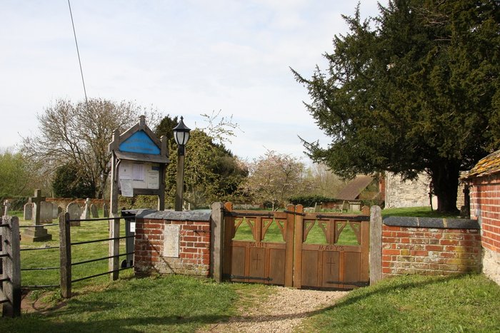
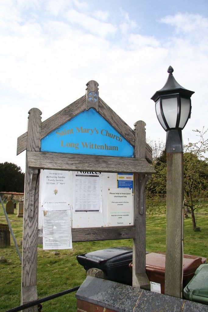
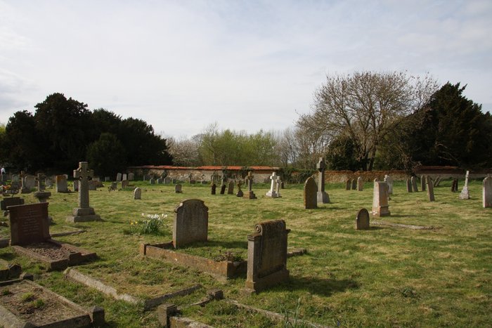
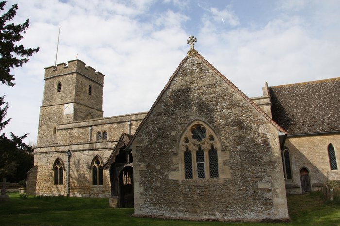
St Mary the Virgin Churchyard is located at High Street Long Wittenham, South Oxfordshire District ,Oxfordshire , OX14 4QJEngland.
-
St Mary the Virgin Churchyard cemetery's updated grave count on graveviews.com?
1 memorials
-
Where are the coordinates of the St Mary the Virgin Churchyard?
Latitude: 51.6423650
Longitude: -1.2092860

Nearby Cemetories:
1. St Michael Churchyard
Clifton Hampden, South Oxfordshire District, England
Coordinate: 51.6558680, -1.2103840
2. Ss. Peter and Paul Churchyard
Appleford, Vale of White Horse District, England
Coordinate: 51.6396800, -1.2356090
3. St. Peter's Churchyard
Little Wittenham, South Oxfordshire District, England
Coordinate: 51.6369880, -1.1830625
4. Saint Birinus Catholic Churchyard
Dorchester, South Oxfordshire District, England
Coordinate: 51.6412600, -1.1649100
5. Dorchester Abbey
Dorchester, South Oxfordshire District, England
Coordinate: 51.6436250, -1.1644290
6. Dorchester Cemetery
Dorchester, South Oxfordshire District, England
Coordinate: 51.6478130, -1.1649480
7. Old All Saints Church
Nuneham Courtenay, South Oxfordshire District, England
Coordinate: 51.6805300, -1.2181300
8. All Saints Churchyard
Sutton Courtenay, Vale of White Horse District, England
Coordinate: 51.6442680, -1.2718070
9. St. Agatha New Churchyard
Brightwell cum Sotwell, South Oxfordshire District, England
Coordinate: 51.6131480, -1.1665480
10. Sutton Courtenay Village Cemetery
Sutton Courtenay, Vale of White Horse District, England
Coordinate: 51.6394000, -1.2746000
11. All Saints Churchyard
Didcot, South Oxfordshire District, England
Coordinate: 51.6107791, -1.2508990
12. All Saints Churchyard
North Moreton, South Oxfordshire District, England
Coordinate: 51.6021922, -1.1898247
13. St. Paul's Churchyard
Culham, South Oxfordshire District, England
Coordinate: 51.6512320, -1.2762060
14. Didcot Cemetery
Didcot, South Oxfordshire District, England
Coordinate: 51.6033500, -1.2438400
15. Saint James Churchyard
Brightwell cum Sotwell, South Oxfordshire District, England
Coordinate: 51.6120200, -1.1549800
16. St Laurence Churchyard
Warborough, South Oxfordshire District, England
Coordinate: 51.6383330, -1.1358310
17. All Saints Parish Churchyard
Nuneham Courtenay, South Oxfordshire District, England
Coordinate: 51.6882380, -1.2057616
18. Friends Burying Ground
Warborough, South Oxfordshire District, England
Coordinate: 51.6374080, -1.1354510
19. St Leonard and St Catherine
Drayton St Leonard, South Oxfordshire District, England
Coordinate: 51.6640020, -1.1387005
20. Abingdon Abbey (Defunct)
Abingdon, Vale of White Horse District, England
Coordinate: 51.6704790, -1.2783620
21. Radley Cemetery
Radley, Vale of White Horse District, England
Coordinate: 51.6893900, -1.2446800
22. St. Helen's Churchyard
Abingdon, Vale of White Horse District, England
Coordinate: 51.6672868, -1.2830793
23. St Nicholas Church
Abingdon, Vale of White Horse District, England
Coordinate: 51.6702720, -1.2808640
24. South Moreton Strict Baptist Chapel
South Moreton, South Oxfordshire District, England
Coordinate: 51.5900300, -1.1924310