
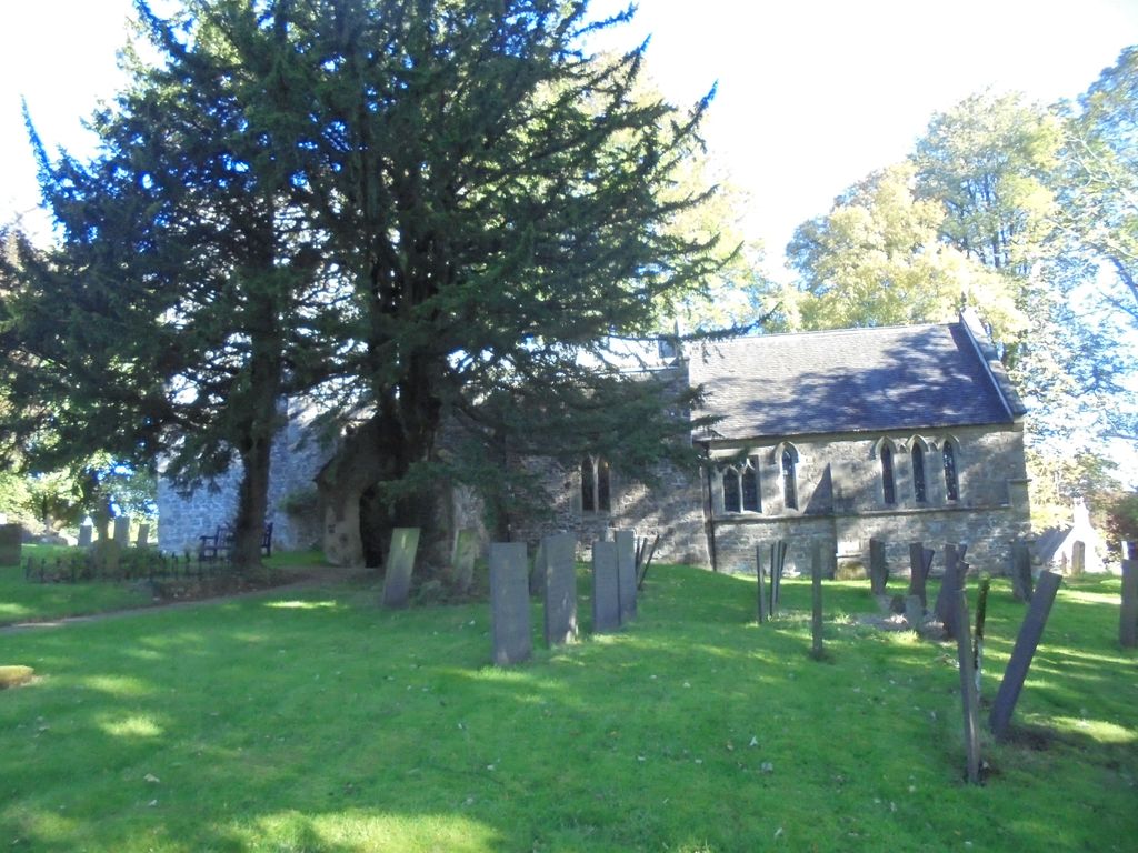
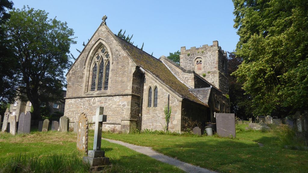
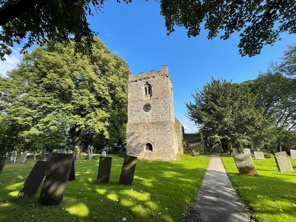
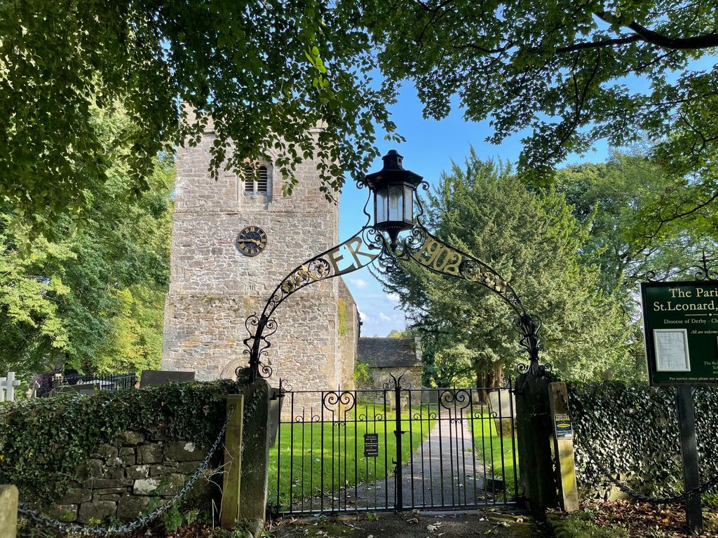
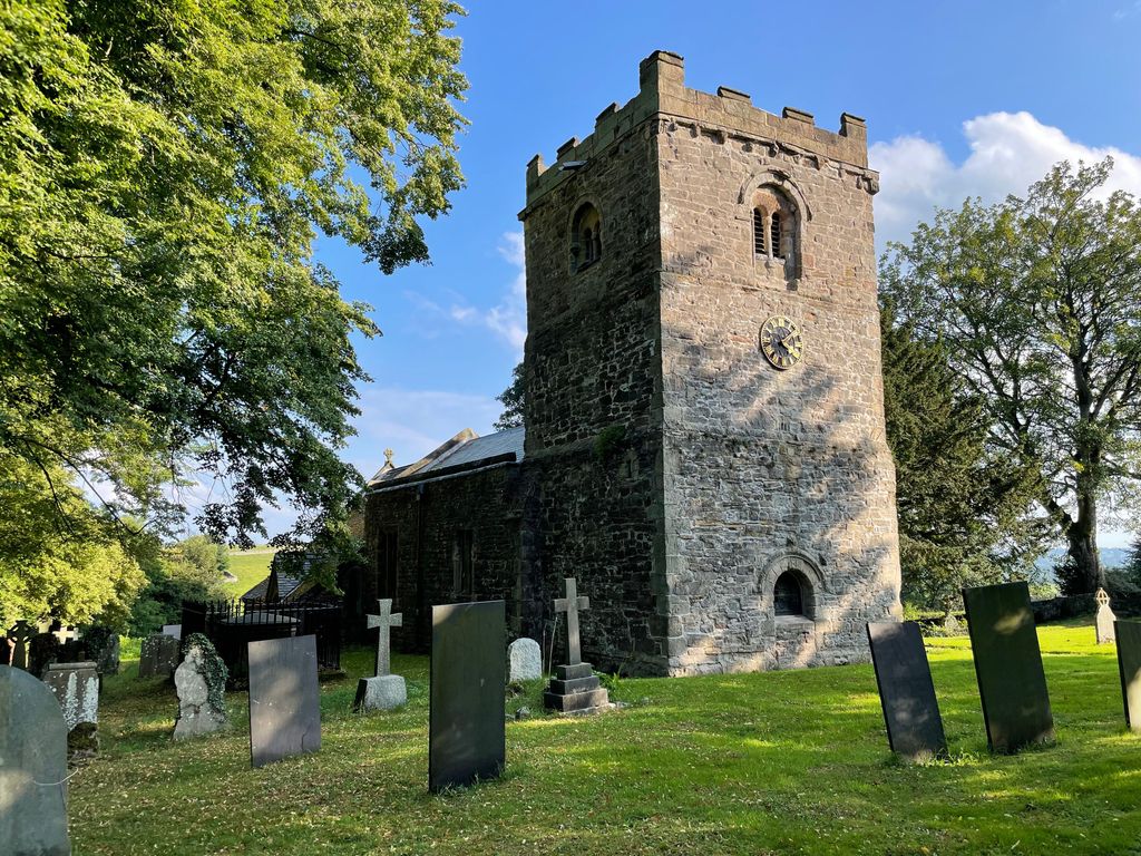
| Memorials | : | 0 |
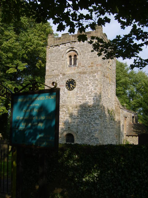
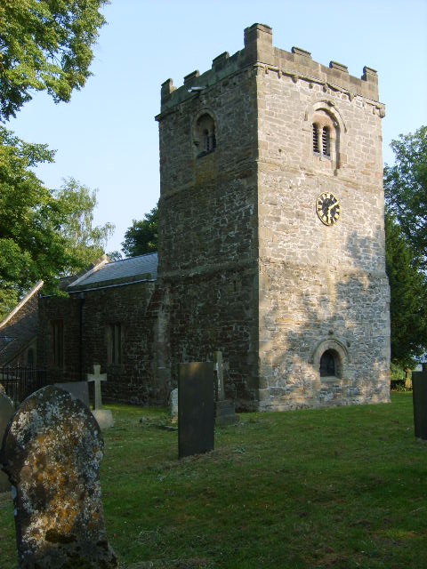
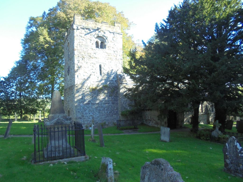
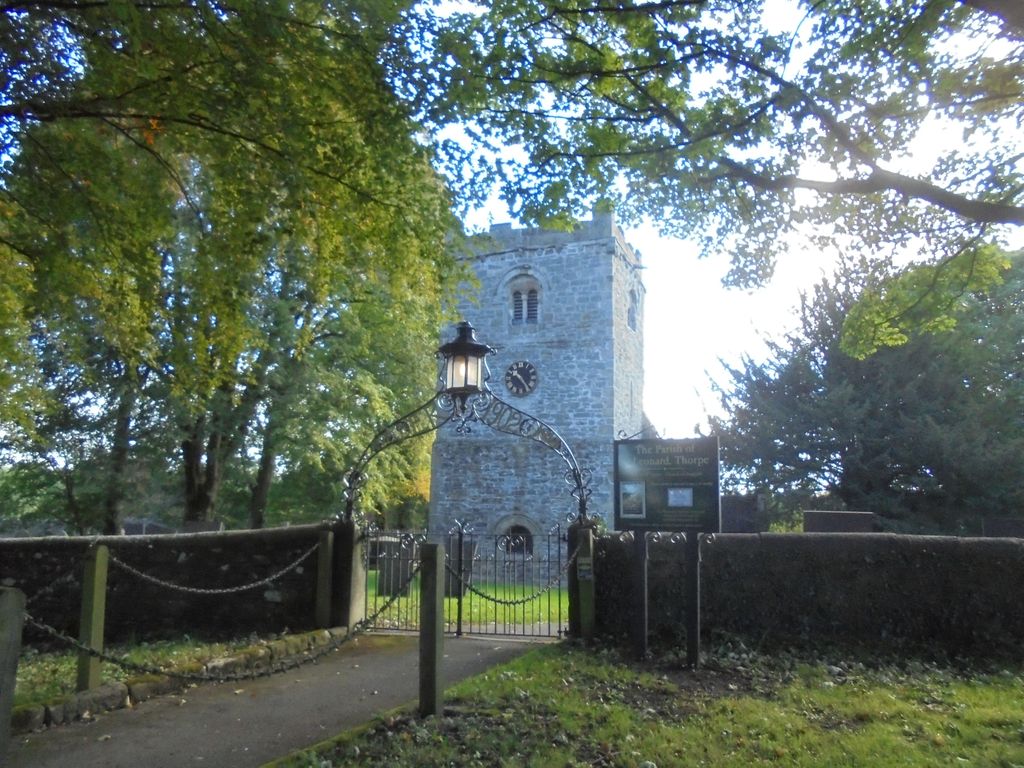
| Location | : | Thorpe, Derbyshire Dales District, England |
| Coordinate | : | 53.0485290, -1.7682900 |
frequently asked questions (FAQ):
-
Where is St. Leonard's Churchyard?
St. Leonard's Churchyard is located at Thorpe, Derbyshire Dales District ,Derbyshire ,England.
-
St. Leonard's Churchyard cemetery's updated grave count on graveviews.com?
0 memorials
-
Where are the coordinates of the St. Leonard's Churchyard?
Latitude: 53.0485290
Longitude: -1.7682900


Nearby Cemetories:
1. St. Edmund King and Martyr Churchyard
Fenny Bentley, Derbyshire Dales District, England
Coordinate: 53.0486820, -1.7411430
2. Saint Bartholomew Churchyard
Blore, Staffordshire Moorlands District, England
Coordinate: 53.0411100, -1.7963100
3. All Saints Church
Okeover, East Staffordshire Borough, England
Coordinate: 53.0302050, -1.7650989
4. St. Bartholomew's Churchyard
Blore, Derbyshire Dales District, England
Coordinate: 53.0408190, -1.7967020
5. St. Mary's Churchyard
Mappleton, Derbyshire Dales District, England
Coordinate: 53.0294920, -1.7542220
6. Mapleton, St Mary
Ashbourne, Derbyshire Dales District, England
Coordinate: 53.0294190, -1.7544910
7. Holy Cross Churchyard
Ilam, Staffordshire Moorlands District, England
Coordinate: 53.0533440, -1.8034640
8. St Oswald Churchyard
Ashbourne, Derbyshire Dales District, England
Coordinate: 53.0149220, -1.7386720
9. Ashbourne Cemetery
Ashbourne, Derbyshire Dales District, England
Coordinate: 53.0109900, -1.7482450
10. St. Mary's Churchyard
Stanton, East Staffordshire Borough, England
Coordinate: 53.0109590, -1.8136560
11. St Mary's Churchyard
Calton, Staffordshire Moorlands District, England
Coordinate: 53.0489970, -1.8472480
12. St. Michael & All Angels Churchyard
Kniveton, Derbyshire Dales District, England
Coordinate: 53.0503980, -1.6881340
13. St. John the Baptist Churchyard
Mayfield, East Staffordshire Borough, England
Coordinate: 52.9998700, -1.7716970
14. Holy Trinity Churchyard
Clifton, Derbyshire Dales District, England
Coordinate: 53.0002710, -1.7545890
15. St. Peter's Churchyard
Alstonefield, Staffordshire Moorlands District, England
Coordinate: 53.0951350, -1.8031540
16. All Saints Churchyard
Bradbourne, Derbyshire Dales District, England
Coordinate: 53.0716940, -1.6909330
17. St. Peter's Churchyard
Snelston, Derbyshire Dales District, England
Coordinate: 52.9871570, -1.7700260
18. St Margaret Churchyard
Wetton, Staffordshire Moorlands District, England
Coordinate: 53.0955990, -1.8392170
19. St. Martin Churchyard
Osmaston, Derbyshire Dales District, England
Coordinate: 52.9930270, -1.7042370
20. St. James and St. Bartholomew Churchyard
Waterfall, Staffordshire Moorlands District, England
Coordinate: 53.0620350, -1.8791780
21. Saint Peter's Cemetery
Ellastone, East Staffordshire Borough, England
Coordinate: 52.9882900, -1.8275000
22. St Mary and St Laurence Churchyard
Cauldon, Staffordshire Moorlands District, England
Coordinate: 53.0423040, -1.8845550
23. St. James' Churchyard
Edlaston, Derbyshire Dales District, England
Coordinate: 52.9811080, -1.7316130
24. All Saints Churchyard
Bradley, Derbyshire Dales District, England
Coordinate: 53.0105800, -1.6682420