
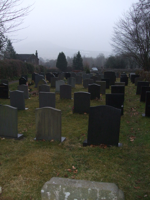
| Memorials | : | 0 |
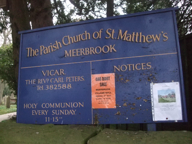
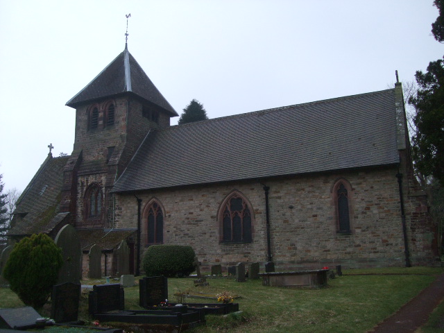
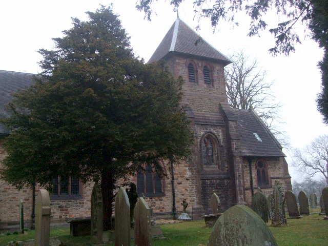
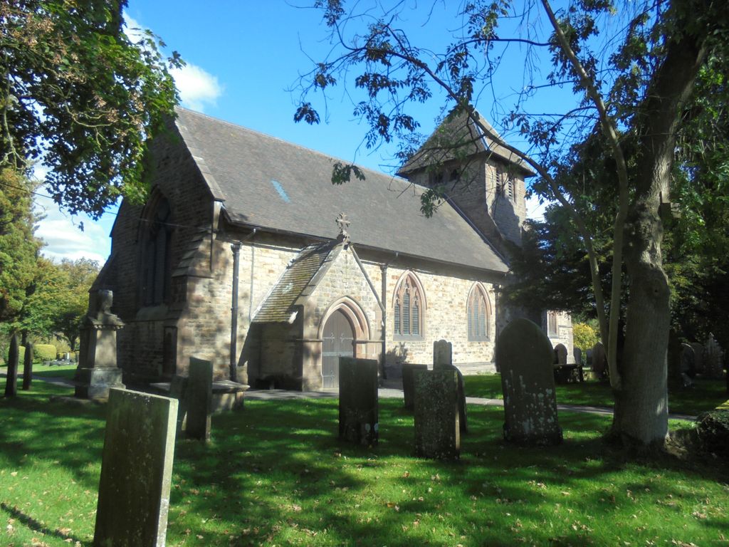
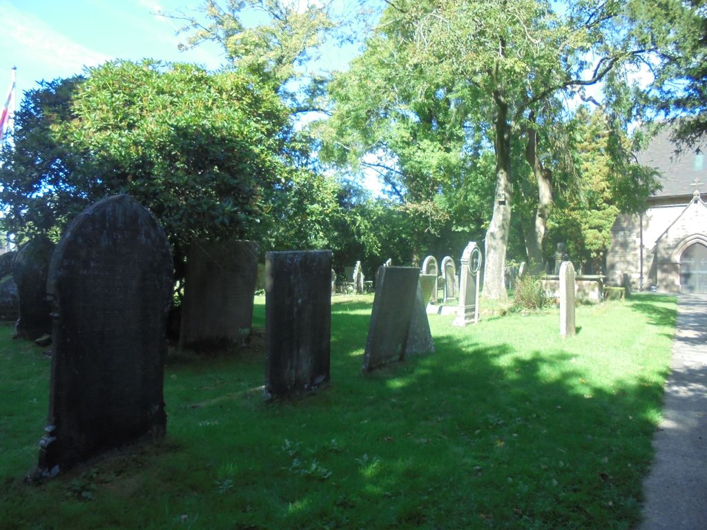
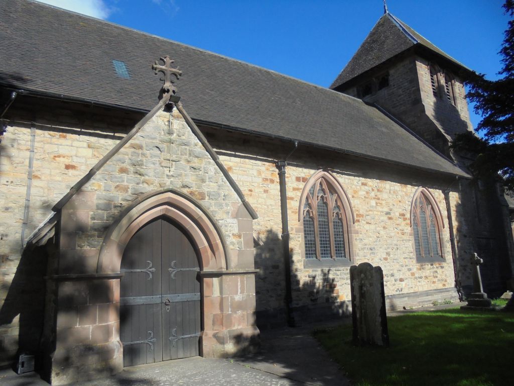
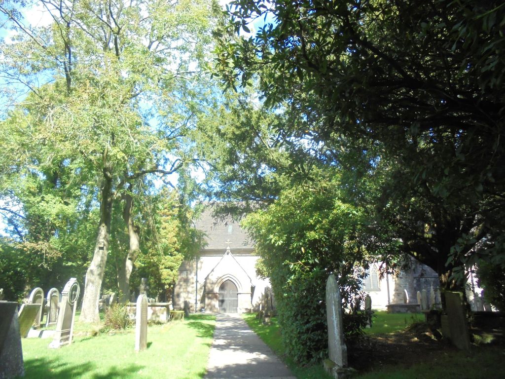
| Location | : | Meerbrook, Staffordshire Moorlands District, England |
| Coordinate | : | 53.1446350, -2.0177810 |
frequently asked questions (FAQ):
-
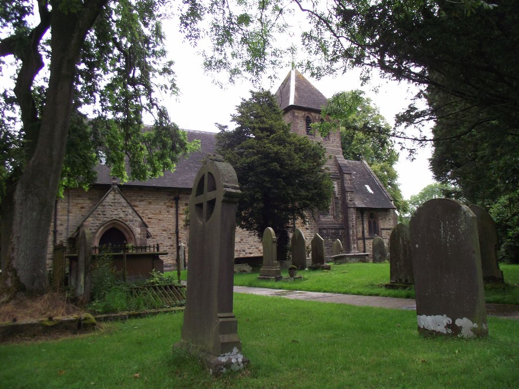
Where is St. Matthew's Churchyard?
St. Matthew's Churchyard is located at Meerbrook, Staffordshire Moorlands District ,Staffordshire ,England.
-
St. Matthew's Churchyard cemetery's updated grave count on graveviews.com?
0 memorials
-
Where are the coordinates of the St. Matthew's Churchyard?
Latitude: 53.1446350
Longitude: -2.0177810

Nearby Cemetories:
1. Buxton Road Cemetery
Leek, Staffordshire Moorlands District, England
Coordinate: 53.1154780, -2.0029690
2. St Edward the Confessor Churchyard
Leek, Staffordshire Moorlands District, England
Coordinate: 53.1068190, -2.0266150
3. St Luke Churchyard
Leek, Staffordshire Moorlands District, England
Coordinate: 53.1061400, -2.0191430
4. Leek Cemetery
Leek, Staffordshire Moorlands District, England
Coordinate: 53.1000880, -2.0248680
5. St Lawrence Churchyard
Rushton Spencer, Staffordshire Moorlands District, England
Coordinate: 53.1556630, -2.0996440
6. St. Michael's Churchyard Extension
Horton, Staffordshire Moorlands District, England
Coordinate: 53.1139430, -2.0878020
7. St. Michael and All Angels Churchyard
Horton, Staffordshire Moorlands District, England
Coordinate: 53.1135330, -2.0879040
8. St. Michael's Churchyard
Wincle, Cheshire East Unitary Authority, England
Coordinate: 53.1933190, -2.0620740
9. St Chad Churchyard
Longsdon, Staffordshire Moorlands District, England
Coordinate: 53.0887220, -2.0625850
10. St. Paul's Churchyard
Quarnford, Staffordshire Moorlands District, England
Coordinate: 53.2018260, -1.9628630
11. St Edwards Lawn Cemetery
Cheddleton, Staffordshire Moorlands District, England
Coordinate: 53.0744437, -2.0385063
12. St. Saviour Churchyard
Wildboarclough, Cheshire East Unitary Authority, England
Coordinate: 53.2161170, -2.0254580
13. St. Luke Churchyard
Onecote, Staffordshire Moorlands District, England
Coordinate: 53.0935720, -1.9289360
14. St. Mary the Virgin Churchyard
Bosley, Cheshire East Unitary Authority, England
Coordinate: 53.1871110, -2.1241630
15. Christ Church Churchyard
Biddulph Moor, Staffordshire Moorlands District, England
Coordinate: 53.1220780, -2.1402320
16. St Edward the Confessor Churchyard
Cheddleton, Staffordshire Moorlands District, England
Coordinate: 53.0689530, -2.0448230
17. St. Luke's Churchyard
Endon, Staffordshire Moorlands District, England
Coordinate: 53.0812200, -2.1086100
18. St. Lawrence Churchyard
Warslow, Staffordshire Moorlands District, England
Coordinate: 53.1248380, -1.8723470
19. St. Bartholomew's Churchyard
Butterton, Staffordshire Moorlands District, England
Coordinate: 53.1062600, -1.8814800
20. St. Lawrence Churchyard
Biddulph, Staffordshire Moorlands District, England
Coordinate: 53.1281320, -2.1659070
21. St. Bartholomew Churchyard
Longnor, Staffordshire Moorlands District, England
Coordinate: 53.1818800, -1.8686700
22. St Anne Churchyard
Brown Edge, Staffordshire Moorlands District, England
Coordinate: 53.0832490, -2.1429880
23. St . Stephen's Church Forest Chapel
Macclesfield Forest, Cheshire East Unitary Authority, England
Coordinate: 53.2462260, -2.0399720
24. All Saints Churchyard
Grindon, Staffordshire Moorlands District, England
Coordinate: 53.0879220, -1.8738510