
| Memorials | : | 0 |
| Location | : | Sheen, High Peak Borough, England |
| Coordinate | : | 53.1504980, -1.8321300 |
frequently asked questions (FAQ):
-
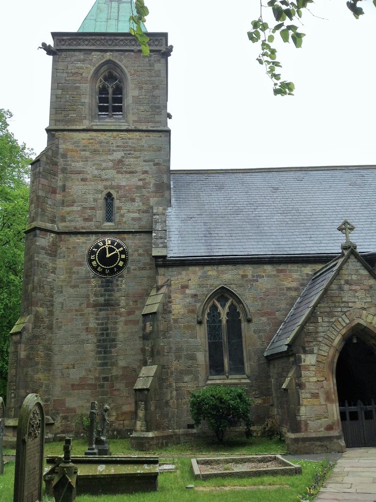
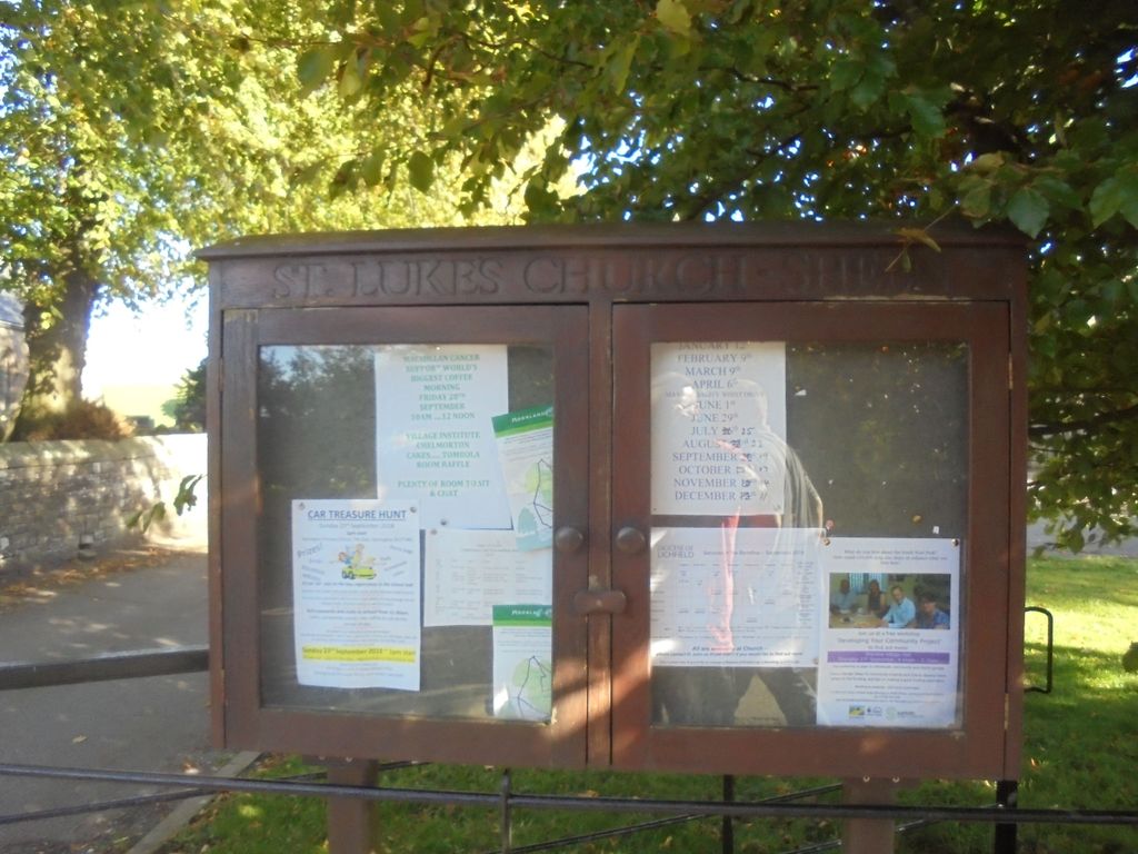
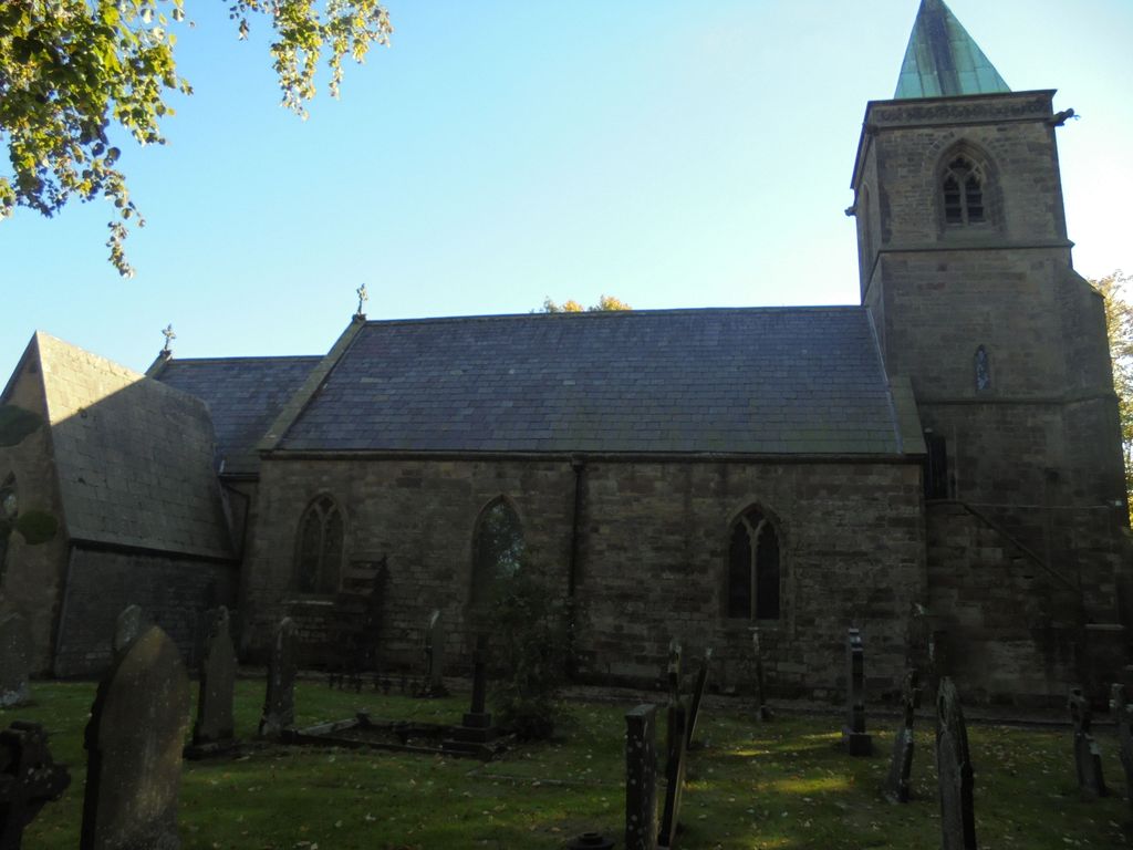
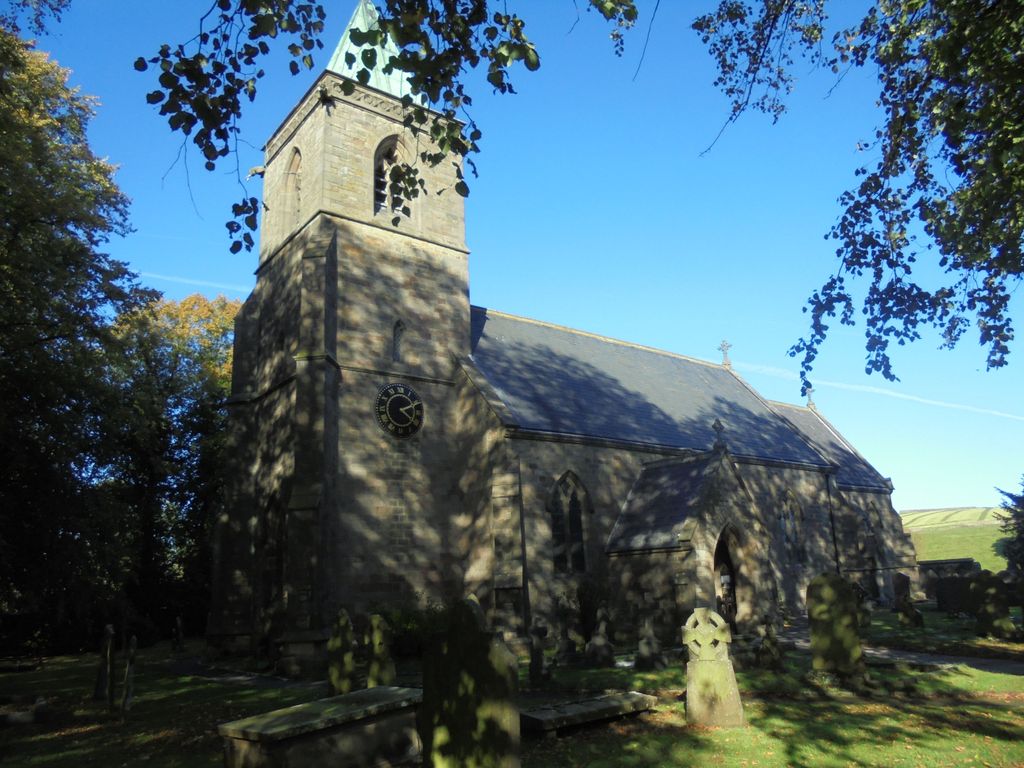
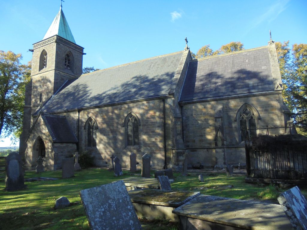
Where is St. Luke's Churchyard?
St. Luke's Churchyard is located at Sheen, High Peak Borough ,Derbyshire ,England.
-
St. Luke's Churchyard cemetery's updated grave count on graveviews.com?
0 memorials
-
Where are the coordinates of the St. Luke's Churchyard?
Latitude: 53.1504980
Longitude: -1.8321300

Nearby Cemetories:
1. St Giles Churchyard
Hartington, Derbyshire Dales District, England
Coordinate: 53.1413120, -1.8075970
2. St. Lawrence Churchyard
Warslow, Staffordshire Moorlands District, England
Coordinate: 53.1248380, -1.8723470
3. St. Bartholomew Churchyard
Longnor, Staffordshire Moorlands District, England
Coordinate: 53.1818800, -1.8686700
4. St. Thomas Churchyard
Biggin-by-Hartington, Derbyshire Dales District, England
Coordinate: 53.1311080, -1.7703070
5. St. Bartholomew's Churchyard
Butterton, Staffordshire Moorlands District, England
Coordinate: 53.1062600, -1.8814800
6. St. Michael and All Angels Churchyard
Earl Sterndale, Derbyshire Dales District, England
Coordinate: 53.2006470, -1.8657430
7. St Margaret Churchyard
Wetton, Staffordshire Moorlands District, England
Coordinate: 53.0955990, -1.8392170
8. Monyash Quaker Burial Ground
Monyash, Derbyshire Dales District, England
Coordinate: 53.1960872, -1.7773422
9. St. Leonard's Churchyard
Monyash, Derbyshire Dales District, England
Coordinate: 53.1951190, -1.7748480
10. St. Peter's Churchyard
Alstonefield, Staffordshire Moorlands District, England
Coordinate: 53.0951350, -1.8031540
11. All Saints Churchyard
Grindon, Staffordshire Moorlands District, England
Coordinate: 53.0879220, -1.8738510
12. St. John the Baptist Churchyard
Chelmorton, Derbyshire Dales District, England
Coordinate: 53.2292770, -1.8283570
13. St. Luke Churchyard
Onecote, Staffordshire Moorlands District, England
Coordinate: 53.0935720, -1.9289360
14. St. Michael & All Angels Churchyard
Sheldon, Derbyshire Dales District, England
Coordinate: 53.2165050, -1.7387150
15. St Michael and All Angels Churchyard
Taddington, Derbyshire Dales District, England
Coordinate: 53.2372500, -1.7897380
16. St Anne Churchyard
Over Haddon, Derbyshire Dales District, England
Coordinate: 53.1940230, -1.6968800
17. All Saints Churchyard
Youlgreave, Derbyshire Dales District, England
Coordinate: 53.1760130, -1.6841700
18. St. James and St. Bartholomew Churchyard
Waterfall, Staffordshire Moorlands District, England
Coordinate: 53.0620350, -1.8791780
19. Christ Churchyard
Kings Sterndale, High Peak Borough, England
Coordinate: 53.2421800, -1.8617860
20. St. Paul's Churchyard
Quarnford, Staffordshire Moorlands District, England
Coordinate: 53.2018260, -1.9628630
21. Harpur Hill Methodist Churchyard
Buxton, High Peak Borough, England
Coordinate: 53.2369210, -1.9053100
22. All Saints Churchyard
Elton, Derbyshire Dales District, England
Coordinate: 53.1455078, -1.6700720
23. St James Churchyard
Harpur Hill, High Peak Borough, England
Coordinate: 53.2374840, -1.9069170
24. Holy Cross Churchyard
Ilam, Staffordshire Moorlands District, England
Coordinate: 53.0533440, -1.8034640