
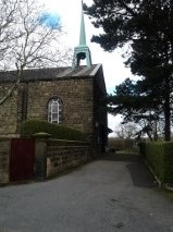
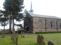
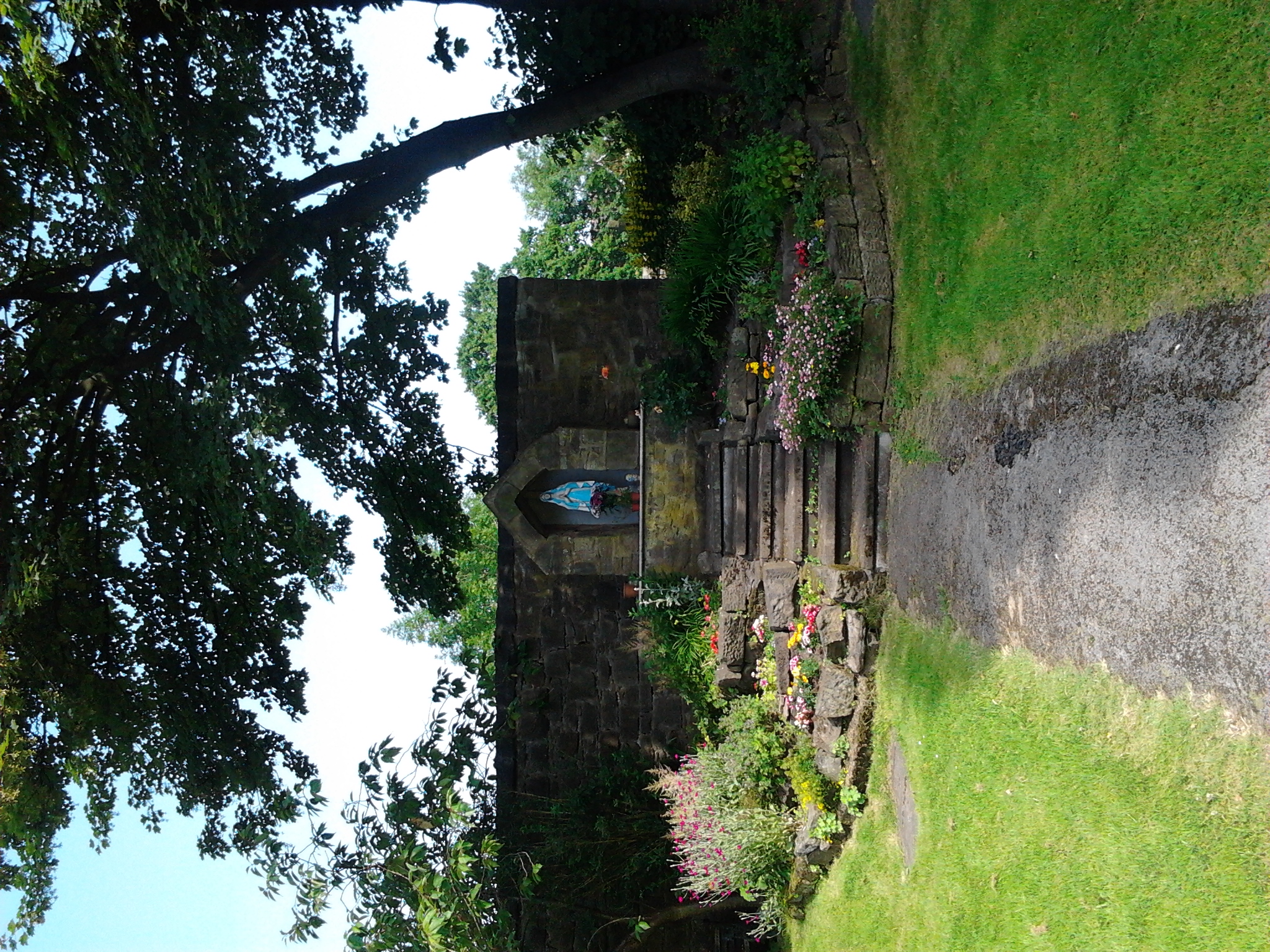
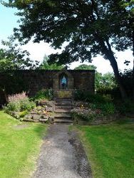
| Memorials | : | 0 |
| Location | : | Clayton-le-Woods, Chorley Borough, England |
| Coordinate | : | 53.7079260, -2.6390320 |
frequently asked questions (FAQ):
-
Where is St. Bedes Churchyard?
St. Bedes Churchyard is located at 598 preston road Clayton-le-Woods, Chorley Borough ,Lancashire ,England.
-
St. Bedes Churchyard cemetery's updated grave count on graveviews.com?
0 memorials
-
Where are the coordinates of the St. Bedes Churchyard?
Latitude: 53.7079260
Longitude: -2.6390320
Nearby Cemetories:
1. St. Saviour's Churchyard
Bamber Bridge, South Ribble Borough, England
Coordinate: 53.7197301, -2.6598985
2. St James's Churchyard
Brindle, Chorley Borough, England
Coordinate: 53.7133333, -2.6086111
3. St John the Evangelist Churchyard
Whittle-le-Woods, Chorley Borough, England
Coordinate: 53.6883280, -2.6400320
4. St Mary's Churchyard Brownedge
Bamber Bridge, South Ribble Borough, England
Coordinate: 53.7305472, -2.6669416
5. St. Chad's South Hill Churchyard
Wheelton, Chorley Borough, England
Coordinate: 53.6826040, -2.6125010
6. All Saints Churchyard
Walton-le-Dale, South Ribble Borough, England
Coordinate: 53.7407250, -2.6408280
7. Our Lady and St Patrick's Church
Walton-le-Dale, South Ribble Borough, England
Coordinate: 53.7407250, -2.6408280
8. St Barnabas Churchyard
Heapey, Chorley Borough, England
Coordinate: 53.6792520, -2.6043310
9. Our Lady and Saint Gerards Churchyard
Lostock Hall, South Ribble Borough, England
Coordinate: 53.7279090, -2.6921460
10. Holy Trinity Churchyard
Hoghton, Chorley Borough, England
Coordinate: 53.7279300, -2.5848550
11. Saint Andrews Churchyard
Leyland, South Ribble Borough, England
Coordinate: 53.6881270, -2.6957880
12. St Paul Churchyard
Farington, South Ribble Borough, England
Coordinate: 53.7199900, -2.7017200
13. St Mary's Roman Catholic Churchyard
Leyland, South Ribble Borough, England
Coordinate: 53.6880510, -2.6983240
14. St. Josephs Roman Catholic Churchyard
Brindle, Chorley Borough, England
Coordinate: 53.7350780, -2.5880640
15. St Leonard Churchyard
Walton-le-Dale, South Ribble Borough, England
Coordinate: 53.7476530, -2.6666950
16. St. Mary's Churchyard
Euxton, Chorley Borough, England
Coordinate: 53.6669580, -2.6768350
17. Euxton Parish Churchyard
Euxton, Chorley Borough, England
Coordinate: 53.6650950, -2.6743630
18. St Peters Churchyard
Chorley, Chorley Borough, England
Coordinate: 53.6607430, -2.6232100
19. St Paul's Churchyard
Withnell, Chorley Borough, England
Coordinate: 53.6970740, -2.5592150
20. Chorley Cemetery
Chorley, Chorley Borough, England
Coordinate: 53.6549770, -2.6447530
21. St Laurence's Church
Chorley, Chorley Borough, England
Coordinate: 53.6546880, -2.6327020
22. St George's Churchyard
Chorley, Chorley Borough, England
Coordinate: 53.6521460, -2.6295520
23. St Augustine of Canterbury
Preston, City of Preston, England
Coordinate: 53.7560420, -2.6912650
24. Saint James Churchyard
Leyland, South Ribble Borough, England
Coordinate: 53.6896630, -2.7327430