| Memorials | : | 0 |
| Location | : | Snodland, Tonbridge and Malling Borough, England |
| Coordinate | : | 51.3332200, 0.4171600 |
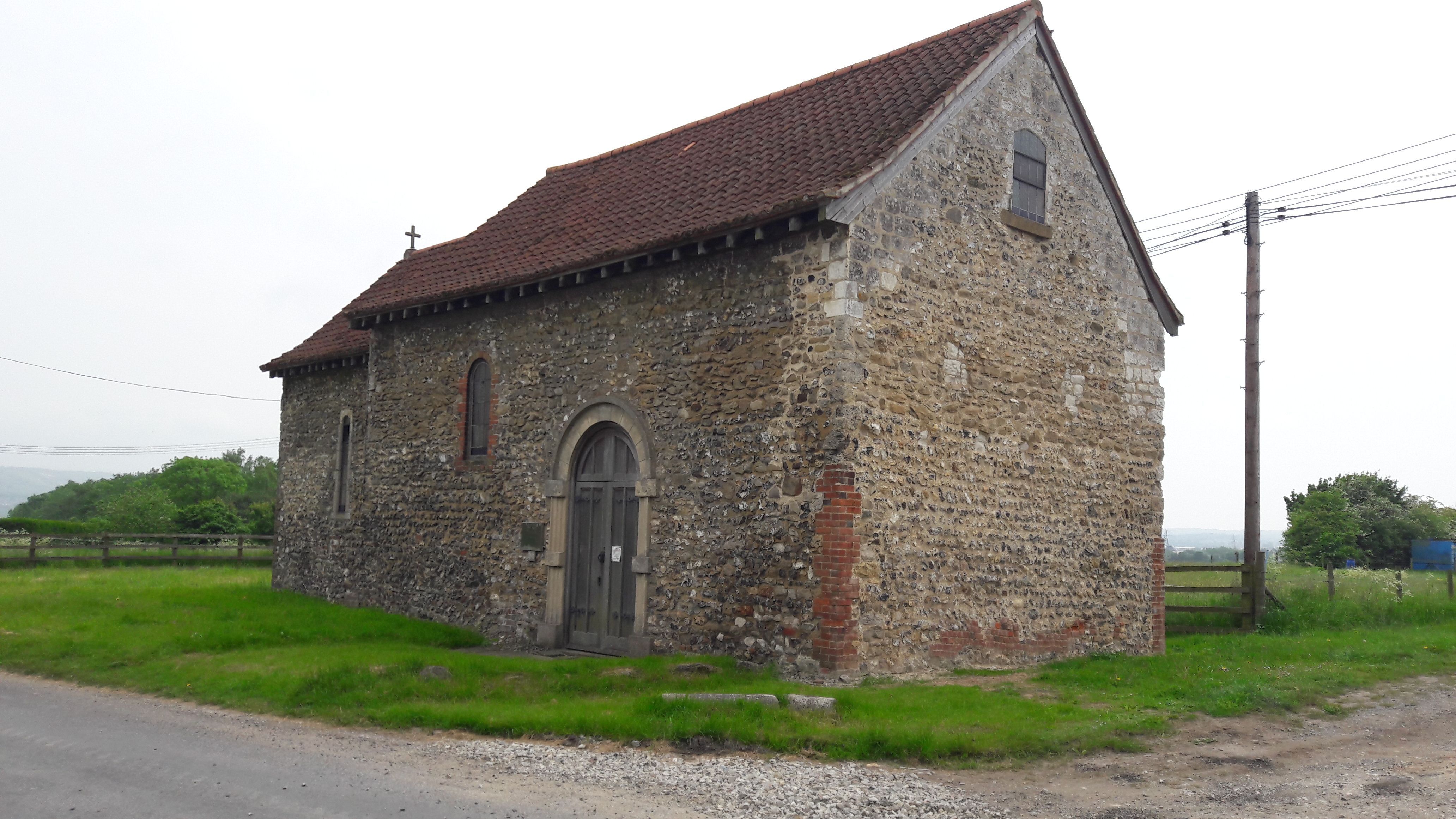
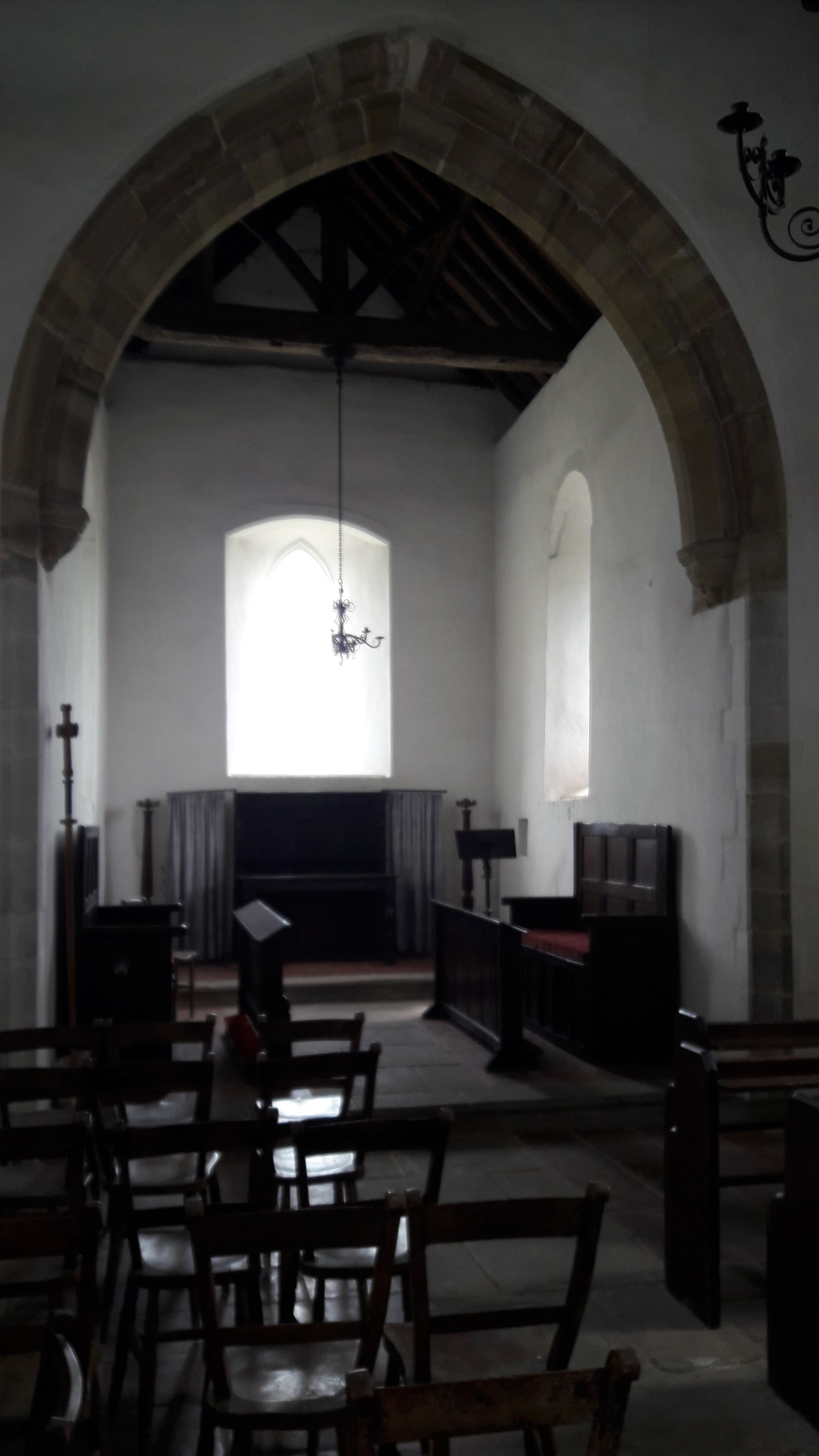
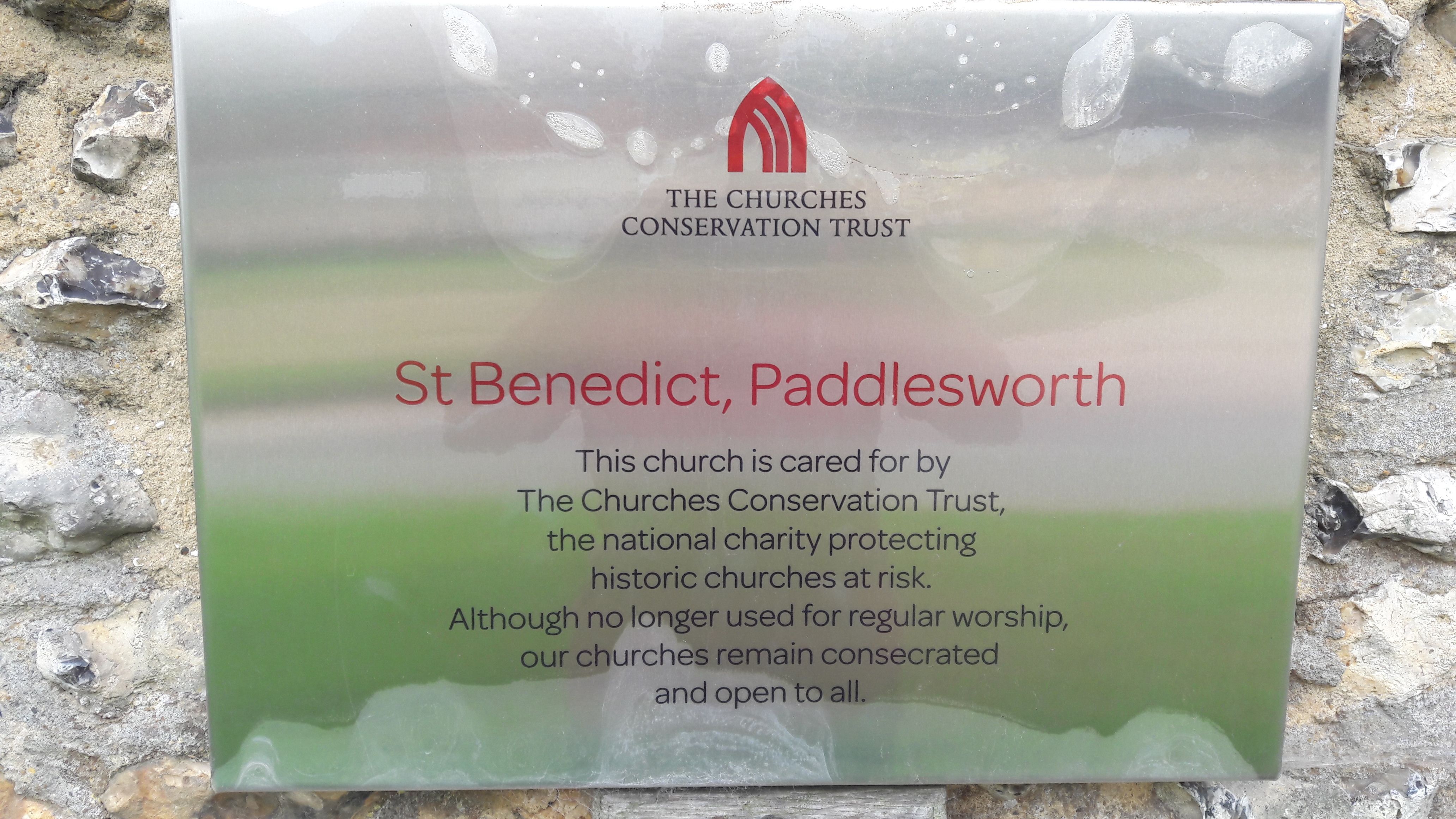
| Description | : | According to Wikipedia : St Benedict's Church is a redundant Anglican church in the village of Paddlesworth, Kent, England. It is recorded in the National Heritage List for England as a designated Grade II* listed building, and is under the care of the Churches Conservation Trust. Norman Architecture |
frequently asked questions (FAQ):
-
Where is St. Benedict Churchyard?
St. Benedict Churchyard is located at Paddlesworth Rd Snodland, Tonbridge and Malling Borough ,Kent , ME6 5DREngland.
-
St. Benedict Churchyard cemetery's updated grave count on graveviews.com?
0 memorials
-
Where are the coordinates of the St. Benedict Churchyard?
Latitude: 51.3332200
Longitude: 0.4171600
Nearby Cemetories:
1. Snodland Cemetery
Snodland, Tonbridge and Malling Borough, England
Coordinate: 51.3336110, 0.4348770
2. All Saints Churchyard
Birling, Tonbridge and Malling Borough, England
Coordinate: 51.3197010, 0.4097520
3. All Saints with Christchurch Churchyard
Snodland, Tonbridge and Malling Borough, England
Coordinate: 51.3246110, 0.4406010
4. All Saints Churchyard
Snodland, Tonbridge and Malling Borough, England
Coordinate: 51.3299000, 0.4496900
5. Halling Church Cemetery
Halling, Medway Unitary Authority, England
Coordinate: 51.3499140, 0.4447960
6. St John the Baptist Churchyard
Halling, Medway Unitary Authority, England
Coordinate: 51.3484993, 0.4468510
7. Halling War Memorial
Halling, Medway Unitary Authority, England
Coordinate: 51.3519630, 0.4439060
8. St Mary Old Churchyard
Burham, Tonbridge and Malling Borough, England
Coordinate: 51.3312262, 0.4619326
9. St Peter and St Paul Churchyard
Leybourne, Tonbridge and Malling Borough, England
Coordinate: 51.3042520, 0.4222550
10. Holy Trinity Churchyard
Larkfield, Tonbridge and Malling Borough, England
Coordinate: 51.3062210, 0.4441090
11. All Saints Churchyard
Wouldham, Tonbridge and Malling Borough, England
Coordinate: 51.3528130, 0.4580580
12. St Peter and St Paul Churchyard
Trottiscliffe, Tonbridge and Malling Borough, England
Coordinate: 51.3201520, 0.3612360
13. Burham War Memorial
Burham, Tonbridge and Malling Borough, England
Coordinate: 51.3327530, 0.4785610
14. St Peter and St Paul Churchyard
Luddesdown, Gravesham Borough, England
Coordinate: 51.3700218, 0.3974010
15. Eccles War Memorial
Aylesford, Tonbridge and Malling Borough, England
Coordinate: 51.3178120, 0.4788630
16. St. Mary the Virgin Churchyard
West Malling, Tonbridge and Malling Borough, England
Coordinate: 51.2921700, 0.4068400
17. St Michael Churchyard
Offham, Tonbridge and Malling Borough, England
Coordinate: 51.2974968, 0.3801070
18. St Peter ad vincula Churchyard
Ditton, Tonbridge and Malling Borough, England
Coordinate: 51.2958810, 0.4510820
19. St. Michael and All Angels Churchyard
Cuxton, Medway Unitary Authority, England
Coordinate: 51.3714120, 0.4546760
20. Aylesford Priory
Aylesford, Tonbridge and Malling Borough, England
Coordinate: 51.3030586, 0.4724390
21. St. James the Great Churchyard
East Malling, Tonbridge and Malling Borough, England
Coordinate: 51.2874670, 0.4402040
22. St Peter and St Paul Churchyard
Aylesford, Tonbridge and Malling Borough, England
Coordinate: 51.3040630, 0.4793870
23. Aylesford Cemetery
Aylesford, Tonbridge and Malling Borough, England
Coordinate: 51.3001000, 0.4752090
24. Royal British Legion Village Memorial
Aylesford, Tonbridge and Malling Borough, England
Coordinate: 51.2964380, 0.4744810


