
| Memorials | : | 242 |
| Location | : | Shepshed, Charnwood Borough, England |
| Phone | : | 01509 502255 |
| Website | : | www.shepshedandoaks.co.uk/ |
| Coordinate | : | 52.7726830, -1.2885670 |
frequently asked questions (FAQ):
-
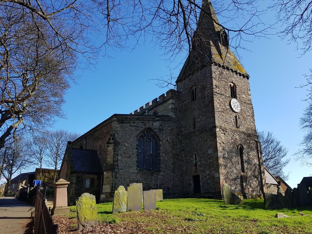
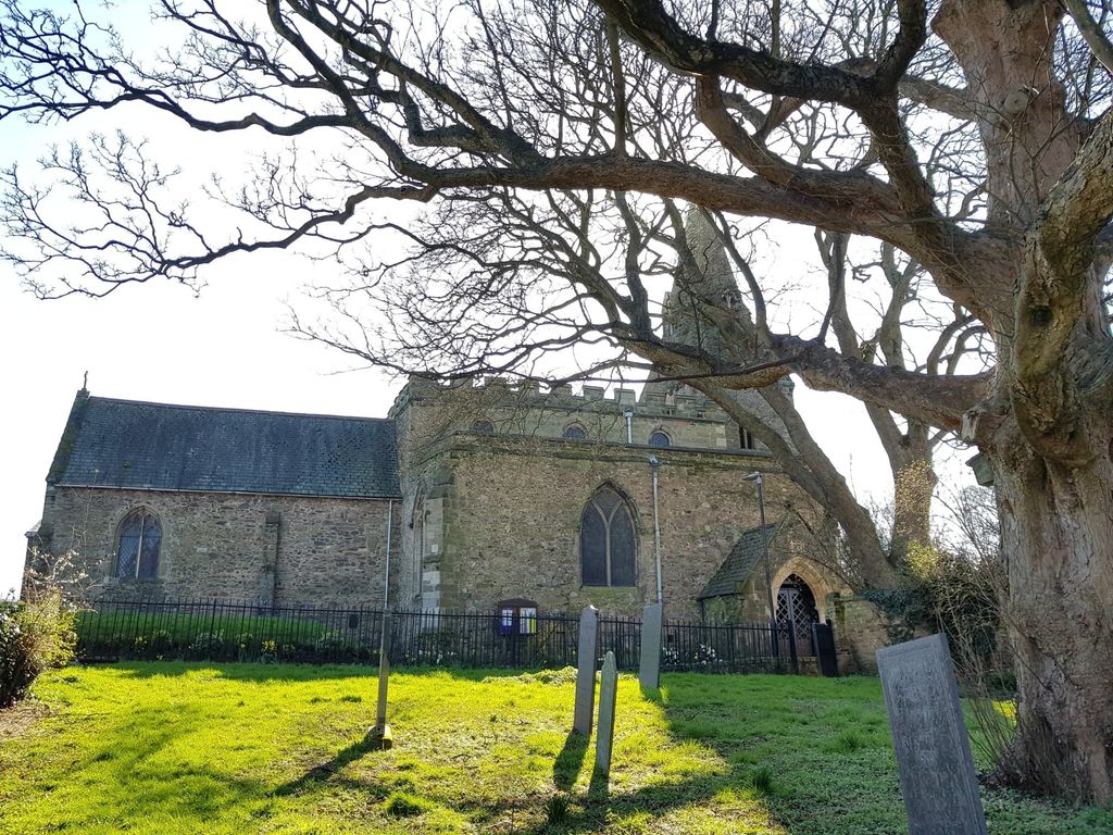
Where is St. Botolph’s Churchyard?
St. Botolph’s Churchyard is located at Church Gate Shepshed, Charnwood Borough ,Leicestershire , LE12 9RJEngland.
-
St. Botolph’s Churchyard cemetery's updated grave count on graveviews.com?
242 memorials
-
Where are the coordinates of the St. Botolph’s Churchyard?
Latitude: 52.7726830
Longitude: -1.2885670
Nearby Cemetories:
1. Shepshed Cemetery
Shepshed, Charnwood Borough, England
Coordinate: 52.7640470, -1.2963120
2. St. James the Greater Oaks in Charnwood
Whitwick, North West Leicestershire District, England
Coordinate: 52.7425430, -1.3008590
3. St John Churchyard
Belton, North West Leicestershire District, England
Coordinate: 52.7830810, -1.3374590
4. St. Peters & St. Paul Cemetery
Hathern, Charnwood Borough, England
Coordinate: 52.7970560, -1.2558040
5. All Saints' Church Dishley
Hathern, Charnwood Borough, England
Coordinate: 52.7860705, -1.2412000
6. All Saints Churchyard
Thorpe Acre, Charnwood Borough, England
Coordinate: 52.7750466, -1.2361551
7. Greenhill Rise Cemetery
Hathern, Charnwood Borough, England
Coordinate: 52.7990180, -1.2576160
8. All Saints Churchyard
Long Whatton, North West Leicestershire District, England
Coordinate: 52.8052840, -1.2859690
9. Mount St Bernard Abbey
Whitwick, North West Leicestershire District, England
Coordinate: 52.7413880, -1.3234470
10. Grace-Dieu Priory
Thringstone, North West Leicestershire District, England
Coordinate: 52.7609720, -1.3566830
11. St Mary the Blessed Virgin Church
Osgathorpe, North West Leicestershire District, England
Coordinate: 52.7715890, -1.3623270
12. Emmanuel Churchyard
Loughborough, Charnwood Borough, England
Coordinate: 52.7668830, -1.2108020
13. St Michael & All Angels Churchyard
Long Whatton, North West Leicestershire District, England
Coordinate: 52.8164170, -1.3282730
14. All Saints with Holy Trinity Churchyard
Loughborough, Charnwood Borough, England
Coordinate: 52.7743880, -1.2035500
15. St John the Baptist Churchyard
Whitwick, North West Leicestershire District, England
Coordinate: 52.7416040, -1.3571200
16. St. Andrew's Churchyard
Thringstone, North West Leicestershire District, England
Coordinate: 52.7529090, -1.3692140
17. St. Anne's Churchyard
Sutton Bonington, Rushcliffe Borough, England
Coordinate: 52.8206200, -1.2485400
18. Whitwick Cemetery
Whitwick, North West Leicestershire District, England
Coordinate: 52.7395560, -1.3623360
19. St. Michael's Churchyard
Sutton Bonington, Rushcliffe Borough, England
Coordinate: 52.8240654, -1.2529907
20. Marle Pit Hill Cemetery
Sutton Bonington, Rushcliffe Borough, England
Coordinate: 52.8241820, -1.2525970
21. Broomleys Cemetery
Coalville, North West Leicestershire District, England
Coordinate: 52.7255540, -1.3402280
22. Loughborough Crematorium
Loughborough, Charnwood Borough, England
Coordinate: 52.7575650, -1.1965200
23. Loughborough Cemetery
Loughborough, Charnwood Borough, England
Coordinate: 52.7599400, -1.1951700
24. Kegworth Cemetery
Kegworth, North West Leicestershire District, England
Coordinate: 52.8332680, -1.2816790