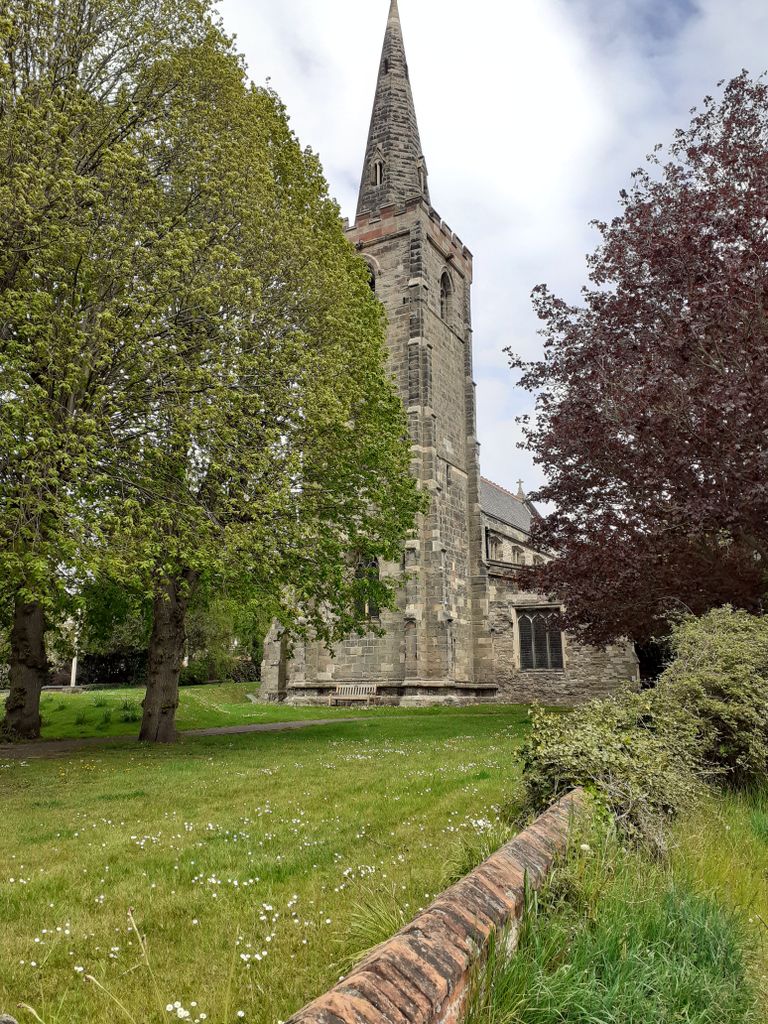
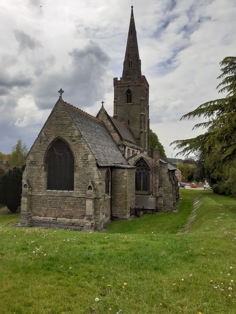
| Memorials | : | 1 |
| Location | : | Sutton Bonington, Rushcliffe Borough, England |
| Website | : | southwellchurches.nottingham.ac.uk/sutton-bonington-st-michael/hchyard.php |
| Coordinate | : | 52.8240654, -1.2529907 |
| Description | : | http://southwellchurches.nottingham.ac.uk/sutton-bonington-st-michael/hintro.php "Sutton Bonington has two parish churches, St Michael’s and St Anne’s, dating back to the time when Sutton and Bonington were two separate villages, Bonitone (St Michael’s) and Sudtone (St Anne’s) according to the Domesday Survey of 1086. The survey does not mention a church in either village. The two parishes gradually grew together but remained officially separate until 1829 when local government reforms were introduced. Ecclesiastically they remained separate until the two parishes agreed to unite in 1923 by order of the Privy Council. However, this could not take place until both parishes were in interregnum: this eventually happened... Read More |
frequently asked questions (FAQ):
-
Where is St. Michael's Churchyard?
St. Michael's Churchyard is located at 102 Main Street, Sutton Bonington, Loughborough Sutton Bonington, Rushcliffe Borough ,Nottinghamshire , LE12 5PFEngland.
-
St. Michael's Churchyard cemetery's updated grave count on graveviews.com?
1 memorials
-
Where are the coordinates of the St. Michael's Churchyard?
Latitude: 52.8240654
Longitude: -1.2529907
Nearby Cemetories:
1. Marle Pit Hill Cemetery
Sutton Bonington, Rushcliffe Borough, England
Coordinate: 52.8241820, -1.2525970
2. St. Anne's Churchyard
Sutton Bonington, Rushcliffe Borough, England
Coordinate: 52.8206200, -1.2485400
3. Saint Andrew's Churchyard
Kegworth, North West Leicestershire District, England
Coordinate: 52.8358160, -1.2780850
4. Kegworth Cemetery
Kegworth, North West Leicestershire District, England
Coordinate: 52.8332680, -1.2816790
5. St Helena Churchyard
West Leake, Rushcliffe Borough, England
Coordinate: 52.8330920, -1.2171267
6. Greenhill Rise Cemetery
Hathern, Charnwood Borough, England
Coordinate: 52.7990180, -1.2576160
7. St. Peters & St. Paul Cemetery
Hathern, Charnwood Borough, England
Coordinate: 52.7970560, -1.2558040
8. All Saints Churchyard
Long Whatton, North West Leicestershire District, England
Coordinate: 52.8052840, -1.2859690
9. Holy Trinity Churchyard
Ratcliffe-on-Soar, Rushcliffe Borough, England
Coordinate: 52.8553380, -1.2665520
10. All Saints' Church Dishley
Hathern, Charnwood Borough, England
Coordinate: 52.7860705, -1.2412000
11. Saint Nicholas Churchyard
Lockington, North West Leicestershire District, England
Coordinate: 52.8468883, -1.3063910
12. St. Nicholas' Churchyard
Lockington, North West Leicestershire District, England
Coordinate: 52.8468300, -1.3065600
13. St Michael & All Angels Churchyard
Long Whatton, North West Leicestershire District, England
Coordinate: 52.8164170, -1.3282730
14. All Saints Churchyard
Thorpe Acre, Charnwood Borough, England
Coordinate: 52.7750466, -1.2361551
15. Castle Donington Cemetery
Castle Donington, North West Leicestershire District, England
Coordinate: 52.8431520, -1.3307570
16. All Saints Churchyard
Thrumpton, Rushcliffe Borough, England
Coordinate: 52.8755100, -1.2440800
17. Quaker Burial Ground
Castle Donington, North West Leicestershire District, England
Coordinate: 52.8435100, -1.3328900
18. St. Edward King & Martyr Churchyard
Castle Donington, North West Leicestershire District, England
Coordinate: 52.8417000, -1.3383000
19. Rempstone, St Peter in the Rushes
Rempstone, Rushcliffe Borough, England
Coordinate: 52.8191600, -1.1614400
20. St. Botolph’s Churchyard
Shepshed, Charnwood Borough, England
Coordinate: 52.7726830, -1.2885670
21. All Saints with Holy Trinity Churchyard
Loughborough, Charnwood Borough, England
Coordinate: 52.7743880, -1.2035500
22. All Saints Churchyard
Sawley, Erewash Borough, England
Coordinate: 52.8776016, -1.2995000
23. Emmanuel Churchyard
Loughborough, Charnwood Borough, England
Coordinate: 52.7668830, -1.2108020
24. Sawley Baptist Churchyard
Sawley, Erewash Borough, England
Coordinate: 52.8799410, -1.3009980


