
| Memorials | : | 40 |
| Location | : | Leigh-on-Sea, Southend-on-Sea Unitary Authority, England |
| Phone | : | 01702 - 475967 |
| Coordinate | : | 51.5412990, 0.6542310 |
frequently asked questions (FAQ):
-
Where is St. Clement's Churchyard?
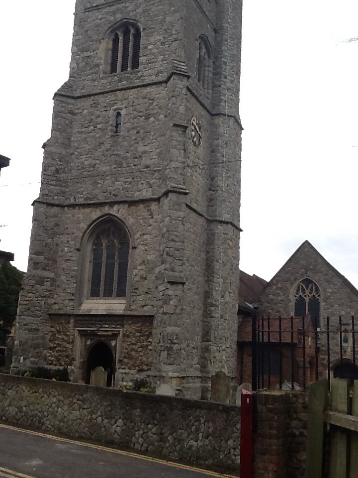
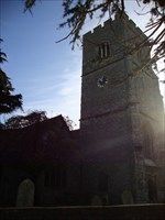
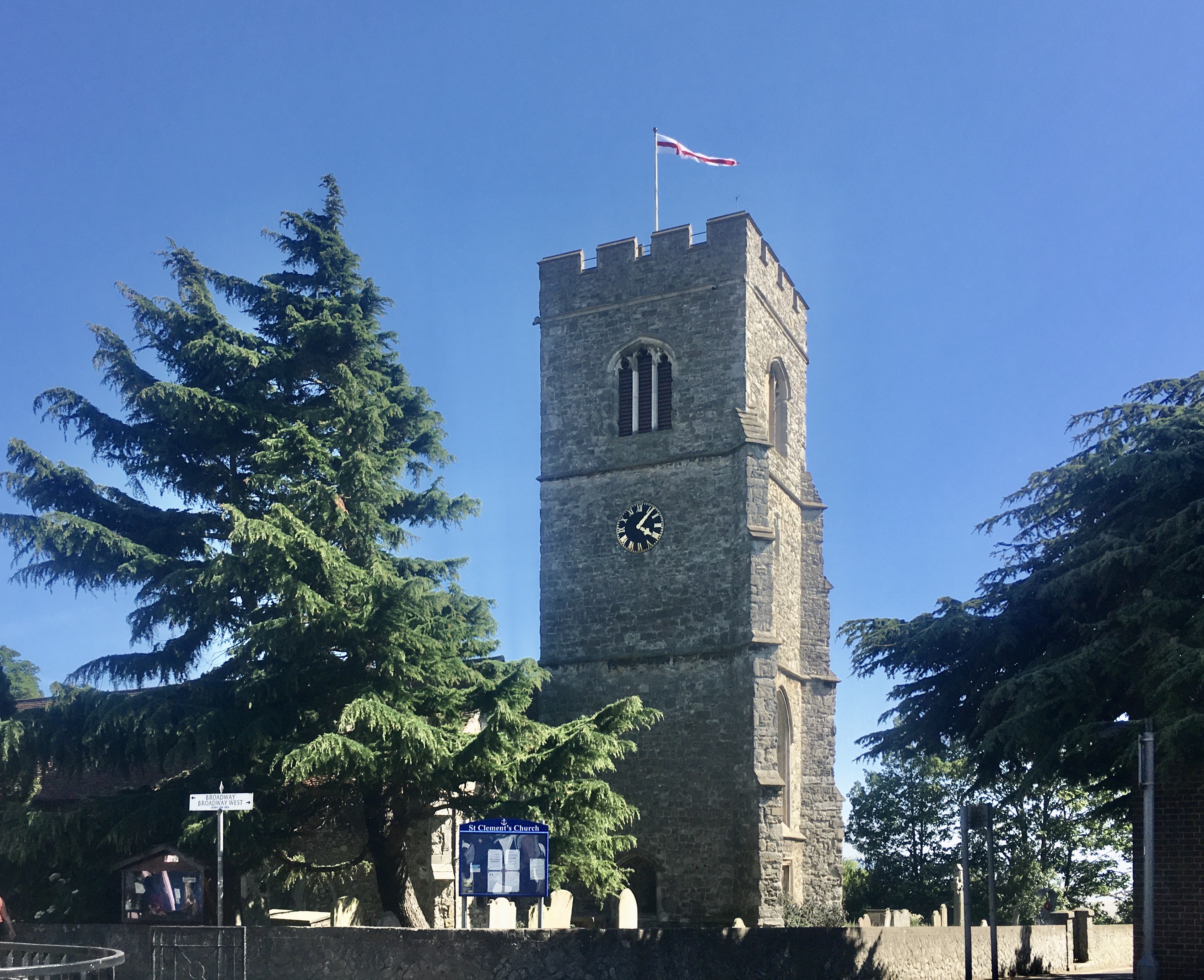
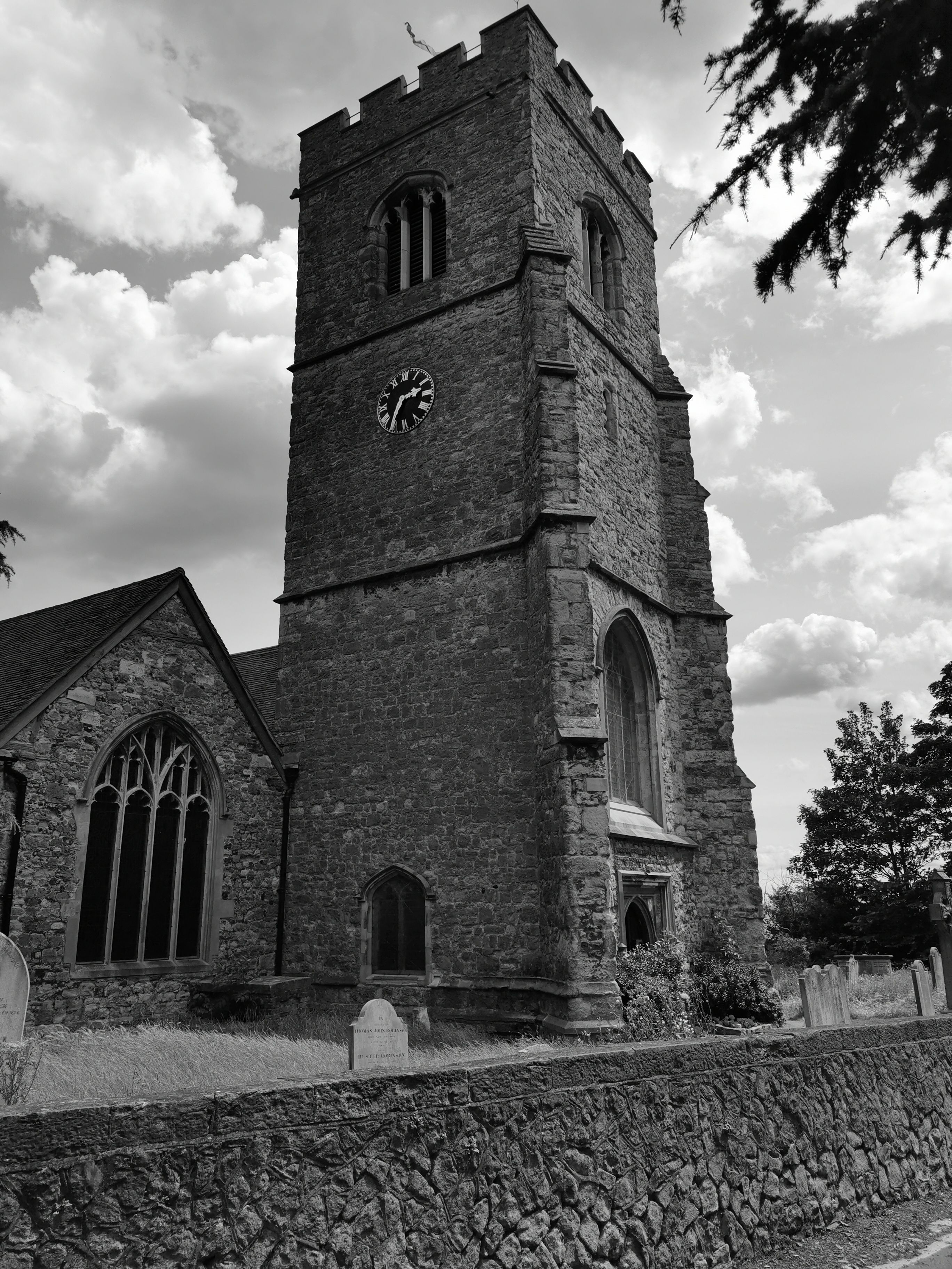
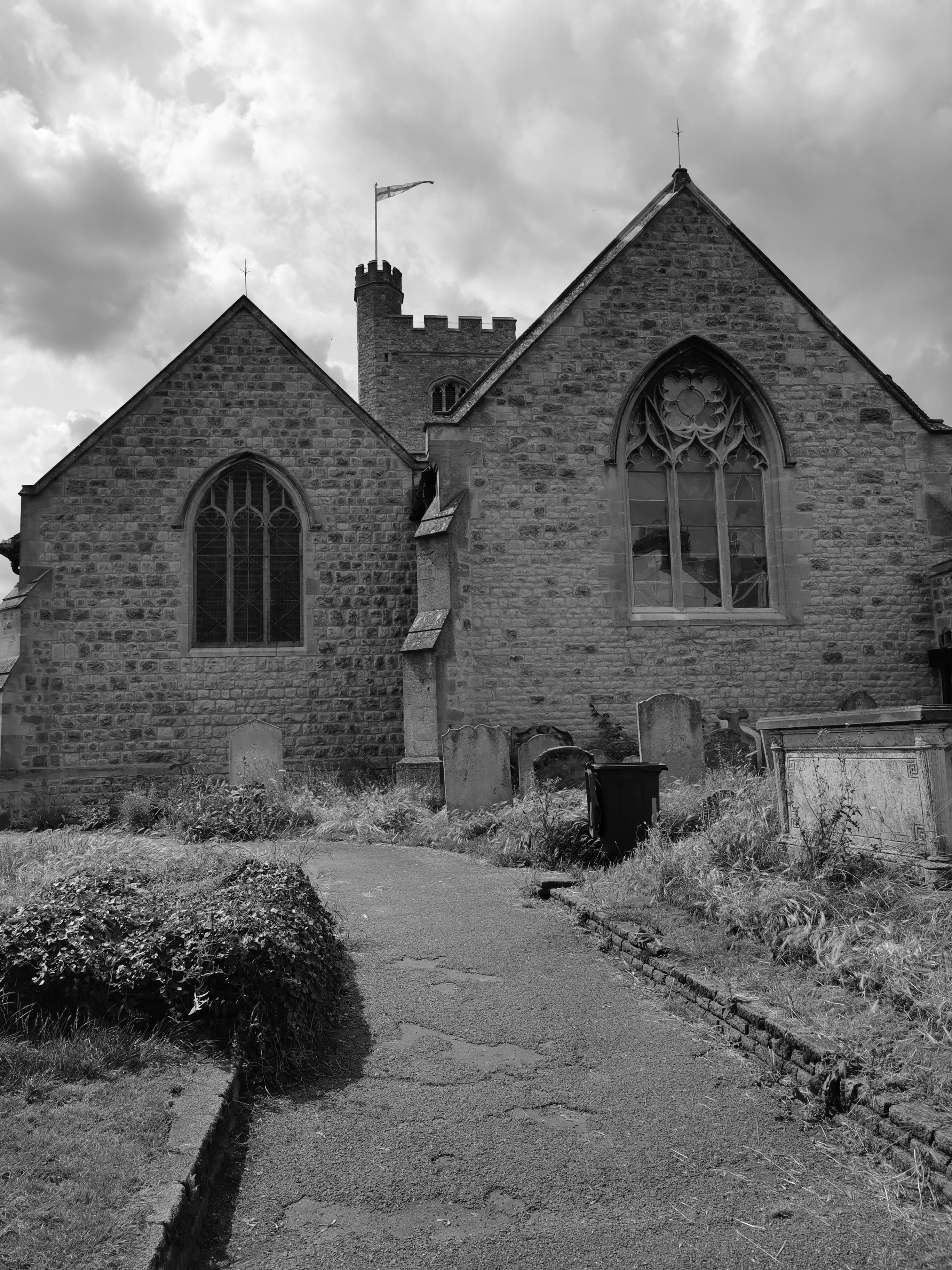
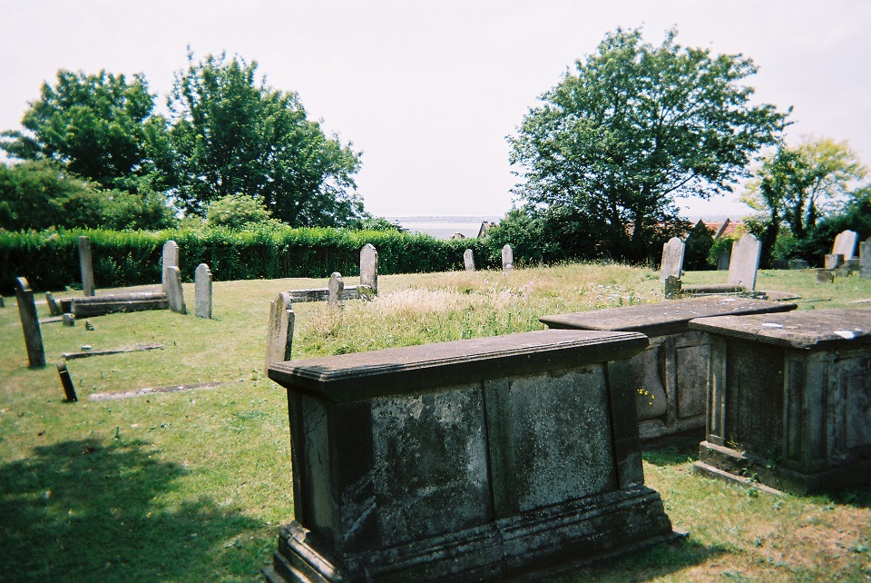
St. Clement's Churchyard is located at Broadway Leigh-on-Sea, Southend-on-Sea Unitary Authority ,Essex , SS9 2DEEngland.
-
St. Clement's Churchyard cemetery's updated grave count on graveviews.com?
40 memorials
-
Where are the coordinates of the St. Clement's Churchyard?
Latitude: 51.5412990
Longitude: 0.6542310
Nearby Cemetories:
1. Leigh Cemetery
Leigh-on-Sea, Southend-on-Sea Unitary Authority, England
Coordinate: 51.5481500, 0.6496740
2. North Road Burial Ground
Westcliff-on-Sea, Southend-on-Sea Unitary Authority, England
Coordinate: 51.5428130, 0.7024620
3. St James the Less Churchyard
Hadleigh, Castle Point Borough, England
Coordinate: 51.5530400, 0.6095590
4. St Laurence and All Saints Churchyard
Eastwood, Southend-on-Sea Unitary Authority, England
Coordinate: 51.5677030, 0.6847360
5. St. Mary the Virgin Churchyard
Prittlewell, Southend-on-Sea Unitary Authority, England
Coordinate: 51.5490570, 0.7054530
6. Stock Road Jewish Cemetery
Southend-on-Sea, Southend-on-Sea Unitary Authority, England
Coordinate: 51.5571444, 0.7055500
7. Daws Heath Evangelical Churchyard
Daws Heath, Castle Point Borough, England
Coordinate: 51.5673560, 0.6136020
8. St. John the Baptist Churchyard
Southend-on-Sea, Southend-on-Sea Unitary Authority, England
Coordinate: 51.5344770, 0.7139610
9. Sutton Road Cemetery
Southend-on-Sea, Southend-on-Sea Unitary Authority, England
Coordinate: 51.5581980, 0.7160330
10. Canvey Island 1953 Flood Memorial
Canvey Island, Castle Point Borough, England
Coordinate: 51.5231500, 0.5930740
11. Southend-On-Sea Crematorium
Southend-on-Sea, Southend-on-Sea Unitary Authority, England
Coordinate: 51.5579630, 0.7178090
12. Rochford Lawn Cemetery
Rochford, Rochford District, England
Coordinate: 51.5829870, 0.6759490
13. Convent of the Good Shepherd
Canvey Island, Castle Point Borough, England
Coordinate: 51.5214345, 0.5899587
14. Hall Road Cemetery
Rochford, Rochford District, England
Coordinate: 51.5842870, 0.6749670
15. St. Andrew's Churchyard
Rochford, Rochford District, England
Coordinate: 51.5803090, 0.7002030
16. All Saints Churchyard
Sutton, Rochford District, England
Coordinate: 51.5703210, 0.7226620
17. Holy Trinity Churchyard
Southchurch, Southend-on-Sea Unitary Authority, England
Coordinate: 51.5417410, 0.7409850
18. Holy Trinity Churchyard
Rayleigh, Rochford District, England
Coordinate: 51.5879958, 0.6085753
19. St Mary the Virgin Churchyard
Sutton, Rochford District, England
Coordinate: 51.5617980, 0.7379720
20. St. Mary the Virgin Churchyard
South Benfleet, Castle Point Borough, England
Coordinate: 51.5461020, 0.5630390
21. Rochford District Council Cemetery
Rayleigh, Rochford District, England
Coordinate: 51.5936500, 0.6135600
22. St Peter Churchyard
Thundersley, Castle Point Borough, England
Coordinate: 51.5687940, 0.5710100
23. St. Katherine Churchyard
Canvey Island, Castle Point Borough, England
Coordinate: 51.5207340, 0.5626850
24. St Mary and All Saints Churchyard
Stambridge, Rochford District, England
Coordinate: 51.5835790, 0.7331670