
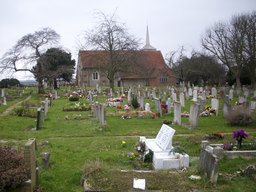
| Memorials | : | 112 |
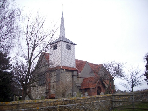
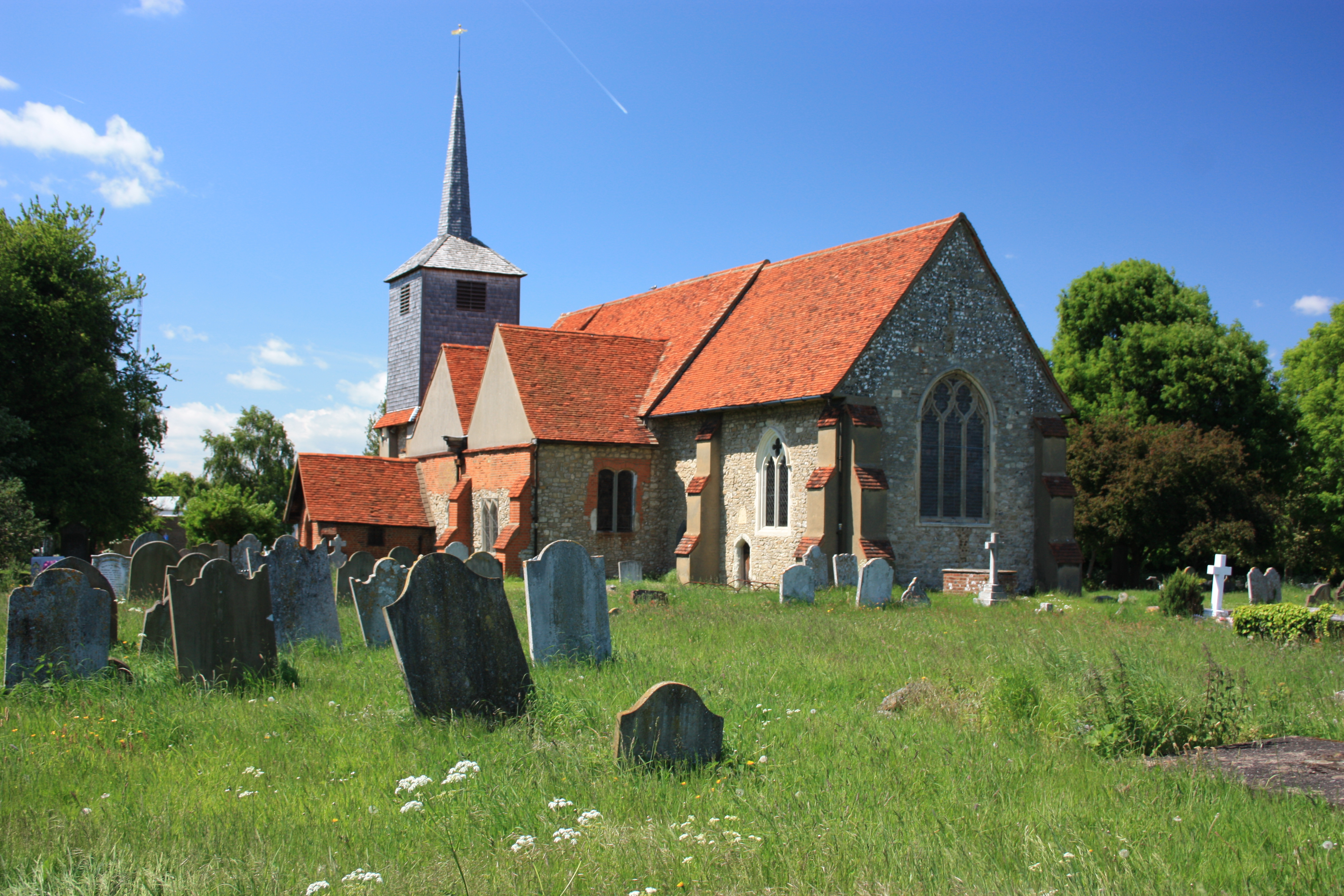
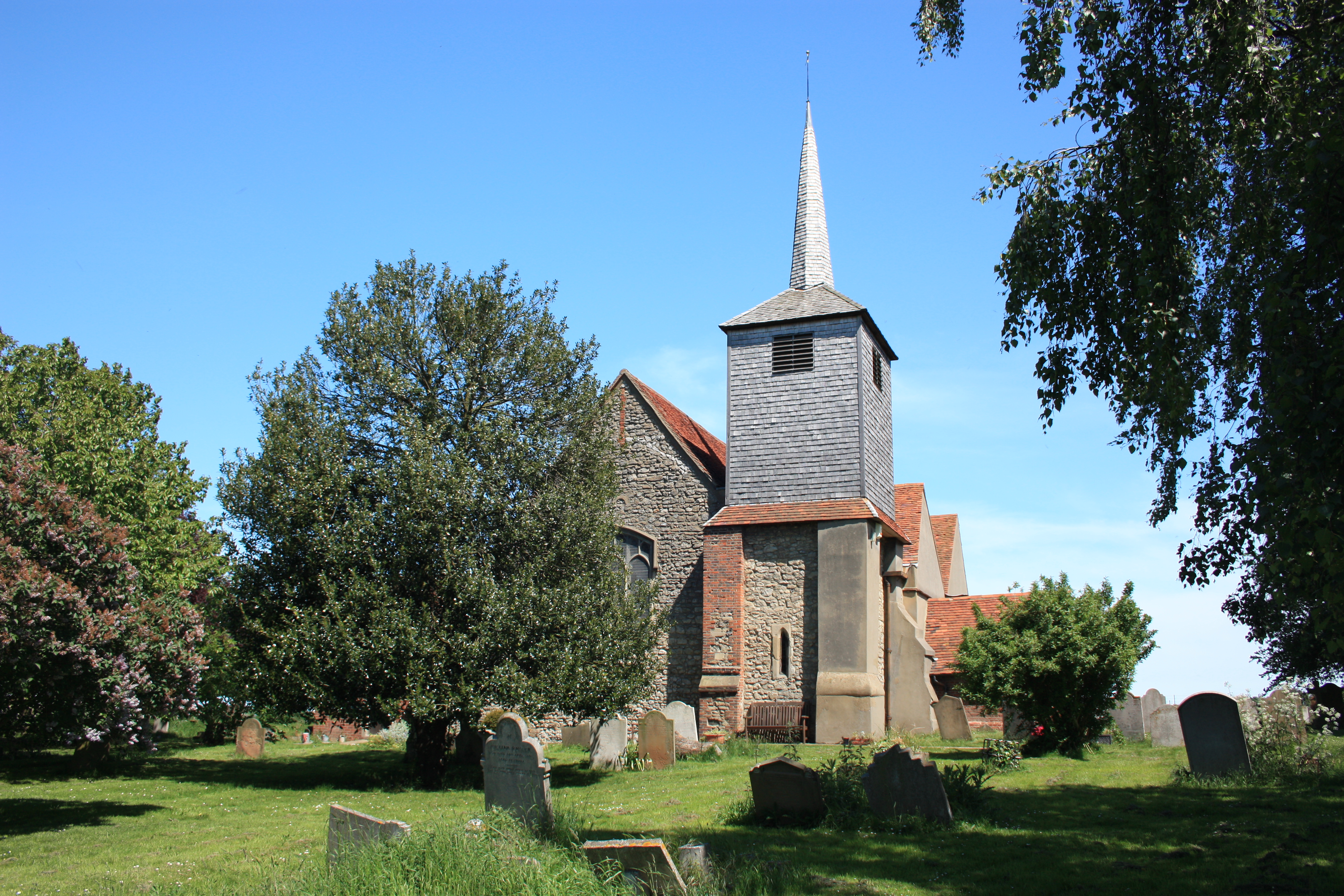
| Location | : | Eastwood, Southend-on-Sea Unitary Authority, England |
| Coordinate | : | 51.5677030, 0.6847360 |
frequently asked questions (FAQ):
-
Where is St Laurence and All Saints Churchyard?
St Laurence and All Saints Churchyard is located at Eastwoodbury Lane Eastwood, Southend-on-Sea Unitary Authority ,Essex ,England.
-
St Laurence and All Saints Churchyard cemetery's updated grave count on graveviews.com?
112 memorials
-
Where are the coordinates of the St Laurence and All Saints Churchyard?
Latitude: 51.5677030
Longitude: 0.6847360
Nearby Cemetories:
1. St. Andrew's Churchyard
Rochford, Rochford District, England
Coordinate: 51.5803090, 0.7002030
2. Rochford Lawn Cemetery
Rochford, Rochford District, England
Coordinate: 51.5829870, 0.6759490
3. Stock Road Jewish Cemetery
Southend-on-Sea, Southend-on-Sea Unitary Authority, England
Coordinate: 51.5571444, 0.7055500
4. Hall Road Cemetery
Rochford, Rochford District, England
Coordinate: 51.5842870, 0.6749670
5. Sutton Road Cemetery
Southend-on-Sea, Southend-on-Sea Unitary Authority, England
Coordinate: 51.5581980, 0.7160330
6. St. Mary the Virgin Churchyard
Prittlewell, Southend-on-Sea Unitary Authority, England
Coordinate: 51.5490570, 0.7054530
7. Southend-On-Sea Crematorium
Southend-on-Sea, Southend-on-Sea Unitary Authority, England
Coordinate: 51.5579630, 0.7178090
8. All Saints Churchyard
Sutton, Rochford District, England
Coordinate: 51.5703210, 0.7226620
9. North Road Burial Ground
Westcliff-on-Sea, Southend-on-Sea Unitary Authority, England
Coordinate: 51.5428130, 0.7024620
10. Leigh Cemetery
Leigh-on-Sea, Southend-on-Sea Unitary Authority, England
Coordinate: 51.5481500, 0.6496740
11. St. Clement's Churchyard
Leigh-on-Sea, Southend-on-Sea Unitary Authority, England
Coordinate: 51.5412990, 0.6542310
12. St Mary the Virgin Churchyard
Sutton, Rochford District, England
Coordinate: 51.5617980, 0.7379720
13. St Mary and All Saints Churchyard
Stambridge, Rochford District, England
Coordinate: 51.5835790, 0.7331670
14. St Mary Churchyard
Stambridge, Rochford District, England
Coordinate: 51.5948750, 0.7233380
15. St. John the Baptist Churchyard
Southend-on-Sea, Southend-on-Sea Unitary Authority, England
Coordinate: 51.5344770, 0.7139610
16. St Andrew Churchyard
Ashingdon, Rochford District, England
Coordinate: 51.6103050, 0.6933730
17. Holy Trinity Churchyard
Southchurch, Southend-on-Sea Unitary Authority, England
Coordinate: 51.5417410, 0.7409850
18. Daws Heath Evangelical Churchyard
Daws Heath, Castle Point Borough, England
Coordinate: 51.5673560, 0.6136020
19. Thornton Meadows Wildflower Cemetery
Ashingdon, Rochford District, England
Coordinate: 51.6131670, 0.6983290
20. St James the Less Churchyard
Hadleigh, Castle Point Borough, England
Coordinate: 51.5530400, 0.6095590
21. Rochford District Council Cemetery
Rayleigh, Rochford District, England
Coordinate: 51.5936500, 0.6135600
22. Holy Trinity Churchyard
Rayleigh, Rochford District, England
Coordinate: 51.5879958, 0.6085753
23. St Peter and St Paul Churchyard
Hockley, Rochford District, England
Coordinate: 51.6098370, 0.6356820
24. All Saints Churchyard
South Fambridge, Rochford District, England
Coordinate: 51.6232020, 0.6879920