
| Memorials | : | 0 |
| Location | : | Nether Denton, City of Carlisle, England |
| Coordinate | : | 54.9743370, -2.6340210 |
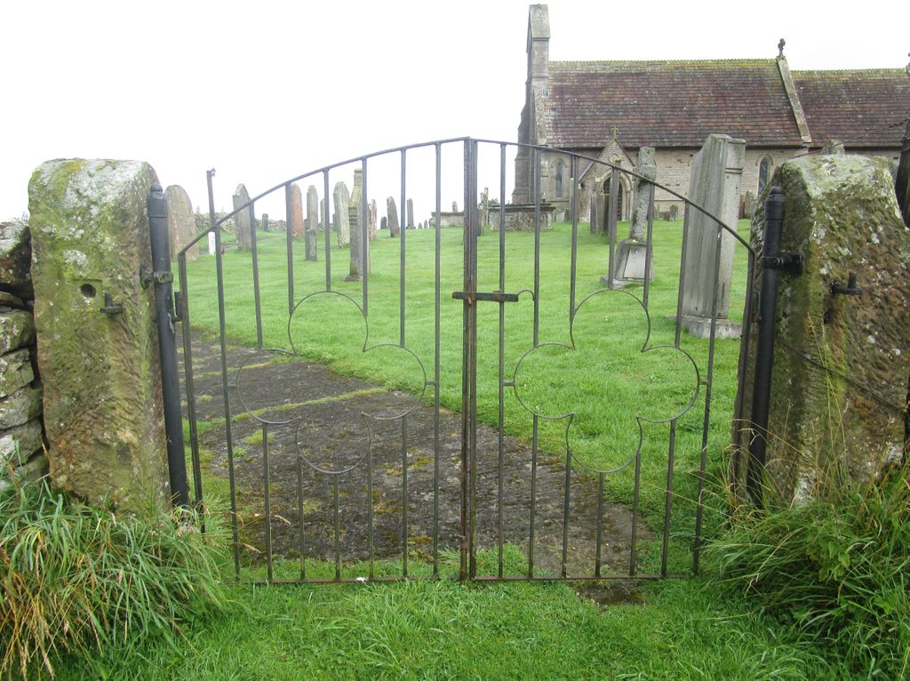
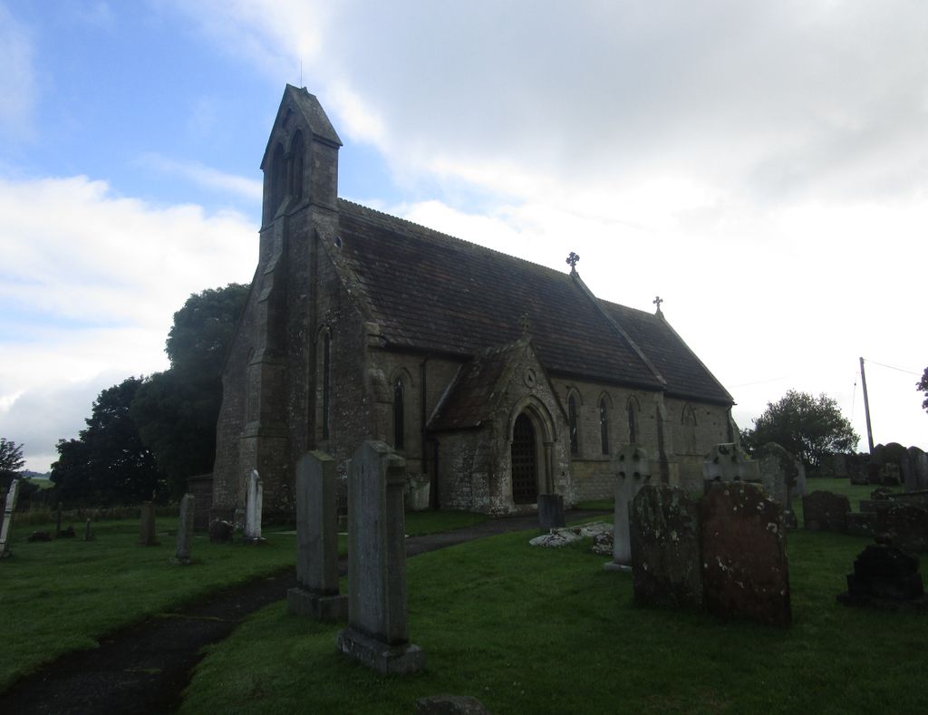
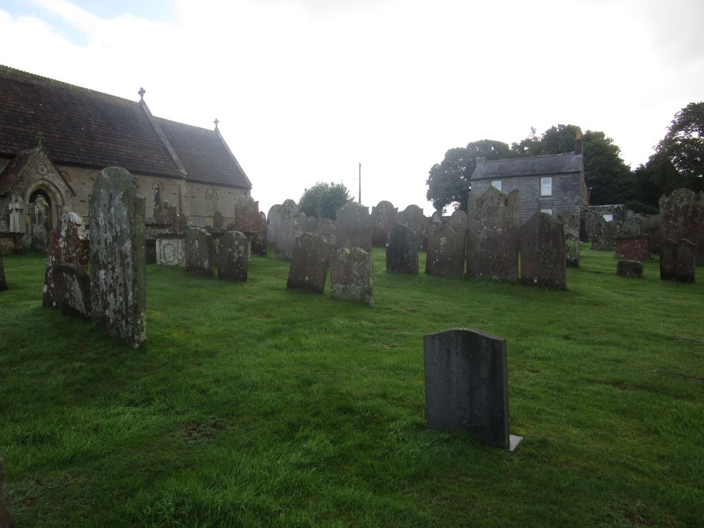
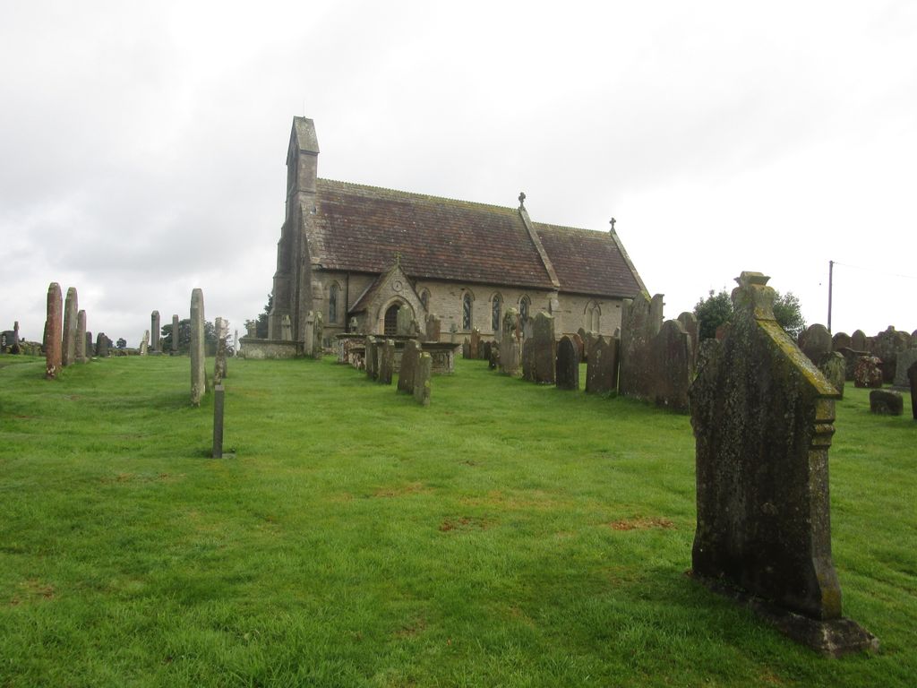
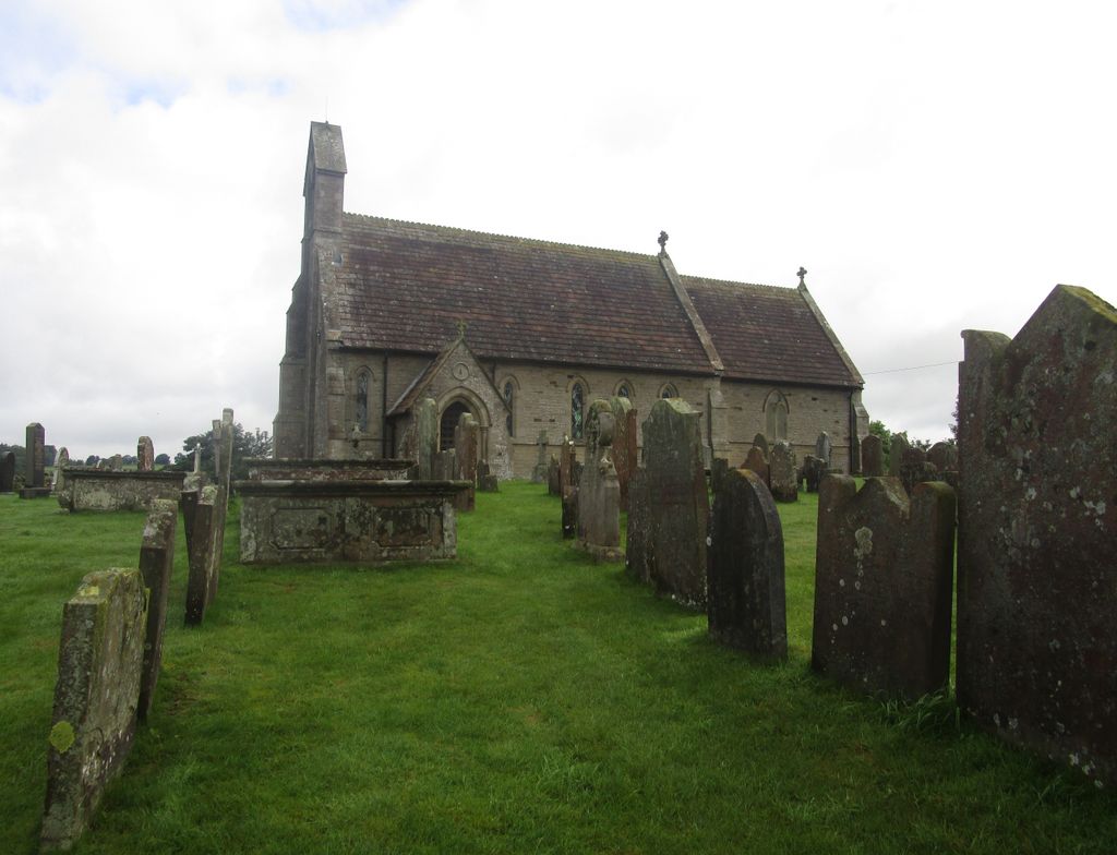
| Description | : | The church can be found between Low Row and Gilsland just off a side road west of Chapelburn. It serves the village of Low Row and surrounding hamlets. |
frequently asked questions (FAQ):
-
Where is St Cuthbert's Churchyard?
St Cuthbert's Churchyard is located at Nether Denton, City of Carlisle ,Cumbria ,England.
-
St Cuthbert's Churchyard cemetery's updated grave count on graveviews.com?
0 memorials
-
Where are the coordinates of the St Cuthbert's Churchyard?
Latitude: 54.9743370
Longitude: -2.6340210
Nearby Cemetories:
1. Lanercost Priory
Lanercost, City of Carlisle, England
Coordinate: 54.9659840, -2.6954990
2. St Mary Magdalene Churchyard
Gilsland, Northumberland Unitary Authority, England
Coordinate: 54.9989150, -2.5743860
3. St Thomas a Becket
Farlam, City of Carlisle, England
Coordinate: 54.9319760, -2.6751970
4. St Cuthbert's Churchyard
Greenhead, Northumberland Unitary Authority, England
Coordinate: 54.9813930, -2.5324120
5. St Mary's Churchyard
Walton, City of Carlisle, England
Coordinate: 54.9725960, -2.7483910
6. St. Martin's Churchyard
Brampton, City of Carlisle, England
Coordinate: 54.9416500, -2.7378200
7. Brampton Cemetery
Brampton, City of Carlisle, England
Coordinate: 54.9457080, -2.7631810
8. St. Martin's Old Churchyard
Brampton, City of Carlisle, England
Coordinate: 54.9461250, -2.7664640
9. St Mary & St Patrick Churchyard
Lambley, Northumberland Unitary Authority, England
Coordinate: 54.9209060, -2.5122140
10. St. Kentigern Churchyard
Irthington, City of Carlisle, England
Coordinate: 54.9467410, -2.7842350
11. Haltwhistle Cemetery
Haltwhistle, Northumberland Unitary Authority, England
Coordinate: 54.9652600, -2.4740100
12. St. Cuthbert's Churchyard
Bewcastle, City of Carlisle, England
Coordinate: 55.0635980, -2.6821690
13. Bewcastle Cemetery
Bewcastle, City of Carlisle, England
Coordinate: 55.0630549, -2.6909662
14. St Peter Churchyard
Castle Carrock, City of Carlisle, England
Coordinate: 54.8913590, -2.7133890
15. St. Mary Magdalene Churchyard
Hayton, City of Carlisle, England
Coordinate: 54.9115160, -2.7692210
16. Holy Cross Churchyard
Haltwhistle, Northumberland Unitary Authority, England
Coordinate: 54.9699900, -2.4583480
17. St. Mary's Churchyard
Stapleton, City of Carlisle, England
Coordinate: 55.0333800, -2.7786500
18. St Mary's Churchyard
Hethersgill, City of Carlisle, England
Coordinate: 54.9957890, -2.8168960
19. Friends Meeting House Cemetery
Coanwood, Northumberland Unitary Authority, England
Coordinate: 54.9241920, -2.4540450
20. Cowburn Primitive Methodist Chapel
Cowburn, Northumberland Unitary Authority, England
Coordinate: 55.0034880, -2.4323380
21. St Jude's Churchyard
Knarsdale, Northumberland Unitary Authority, England
Coordinate: 54.8817960, -2.5024290
22. Our Lady And St Wilfred Churchyard
Wetheral, City of Carlisle, England
Coordinate: 54.9032570, -2.8197300
23. St Paul's Churchyard Holme Eden
Wetheral, City of Carlisle, England
Coordinate: 54.8989540, -2.8232760
24. All Saints Churchyard
Scaleby, City of Carlisle, England
Coordinate: 54.9596360, -2.8651530