
| Memorials | : | 6 |
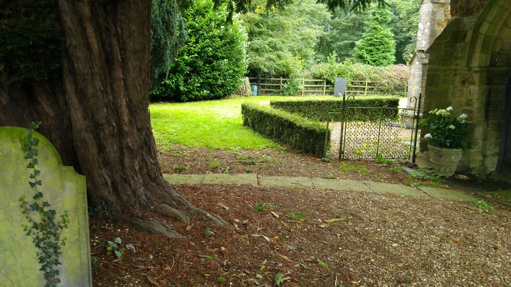
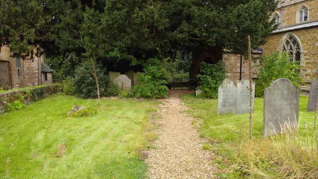
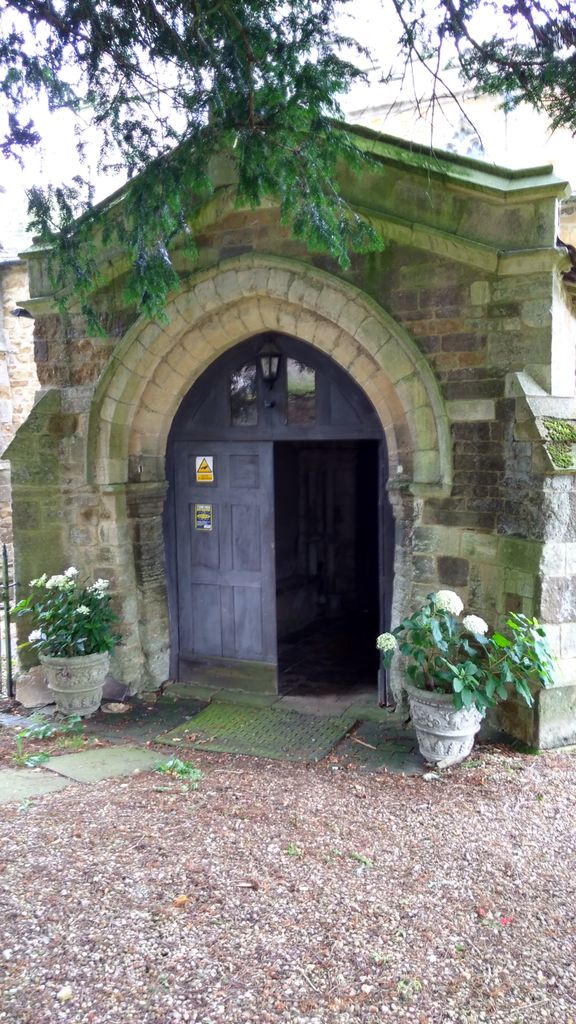
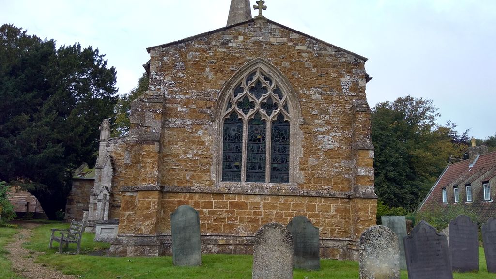
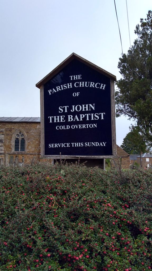
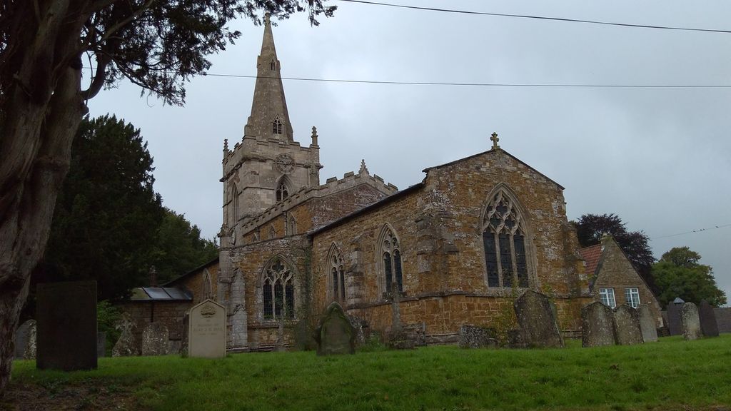
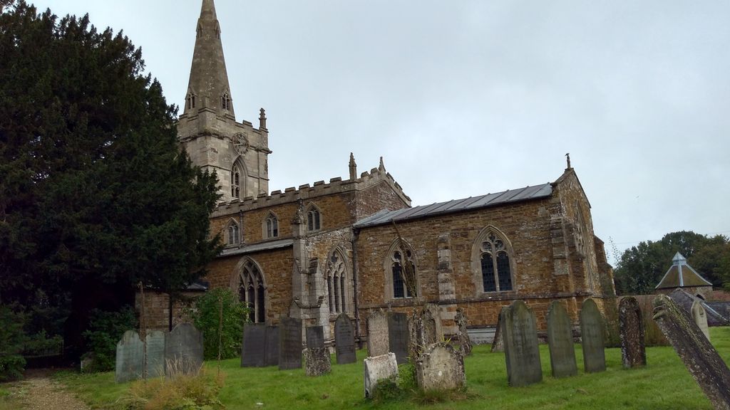
| Location | : | Cold Overton, Melton Borough, England |
| Website | : | www.achurchnearyou.com/church/3479/ |
| Coordinate | : | 52.6829560, -0.8027660 |
frequently asked questions (FAQ):
-
Where is St John the Baptist Churchyard?
St John the Baptist Churchyard is located at Cold Overton, Melton Borough ,Leicestershire ,England.
-
St John the Baptist Churchyard cemetery's updated grave count on graveviews.com?
4 memorials
-
Where are the coordinates of the St John the Baptist Churchyard?
Latitude: 52.6829560
Longitude: -0.8027660
Nearby Cemetories:
1. St Peter Churchyard
Knossington, Melton Borough, England
Coordinate: 52.6699000, -0.8168600
2. All Saints Churchyard, Pickwell
Melton Mowbray, Melton Borough, England
Coordinate: 52.6943280, -0.8388740
3. Pickwell Road Cemetery
Somerby, Melton Borough, England
Coordinate: 52.6865550, -0.8444540
4. All Saints Churchyard
Somerby, Melton Borough, England
Coordinate: 52.6864700, -0.8482390
5. SS Peter and Paul Church
Langham, Rutland Unitary Authority, England
Coordinate: 52.6918700, -0.7529300
6. Saint Andrew's Churchyard
Owston, Harborough District, England
Coordinate: 52.6642540, -0.8561200
7. Withcote Chapel
Harborough District, England
Coordinate: 52.6440500, -0.8253346
8. St Andrew Churchyard
Whissendine, Rutland Unitary Authority, England
Coordinate: 52.7200520, -0.7682370
9. Oakham Cemetery
Oakham, Rutland Unitary Authority, England
Coordinate: 52.6768700, -0.7297400
10. St James the Greater Churchyard
Little Dalby, Melton Borough, England
Coordinate: 52.7149700, -0.8543800
11. St Mary the Virgin Churchyard
Somerby, Melton Borough, England
Coordinate: 52.6894150, -0.8806740
12. Launde Abbey
Launde, Harborough District, England
Coordinate: 52.6313950, -0.8233060
13. St Mary the Virgin Churchyard
Ashwell, Rutland Unitary Authority, England
Coordinate: 52.7144490, -0.7200580
14. Holy Trinity Churchyard
Teigh, Rutland Unitary Authority, England
Coordinate: 52.7348560, -0.7207040
15. St James Churchyard
Burton Lazars, Melton Borough, England
Coordinate: 52.7446910, -0.8643730
16. St Andrew Churchyard
Twyford, Melton Borough, England
Coordinate: 52.6835600, -0.9217660
17. St Peter Churchyard
Tilton-on-the-Hill, Harborough District, England
Coordinate: 52.6435650, -0.9026860
18. St Swithun Churchyard
Great Dalby, Melton Borough, England
Coordinate: 52.7224510, -0.9027190
19. St. Mary Magdalen Churchyard
Stapleford, Melton Borough, England
Coordinate: 52.7553000, -0.7987000
20. Saint Michael and All Angels Churchyard
Edmondthorpe, Melton Borough, England
Coordinate: 52.7488800, -0.7301600
21. St Peter Churchyard
Belton, Rutland Unitary Authority, England
Coordinate: 52.6038200, -0.7957000
22. Edmondthorpe Main Street Cemetery
Edmondthorpe, Melton Borough, England
Coordinate: 52.7491560, -0.7300030
23. St. Mary Churchyard
Wyfordby, Melton Borough, England
Coordinate: 52.7621940, -0.8257020
24. All Saints Churchyard
Lowesby, Harborough District, England
Coordinate: 52.6601500, -0.9314700