
| Memorials | : | 1 |
| Location | : | Dorney, South Bucks District, England |
| Coordinate | : | 51.5030670, -0.6689740 |
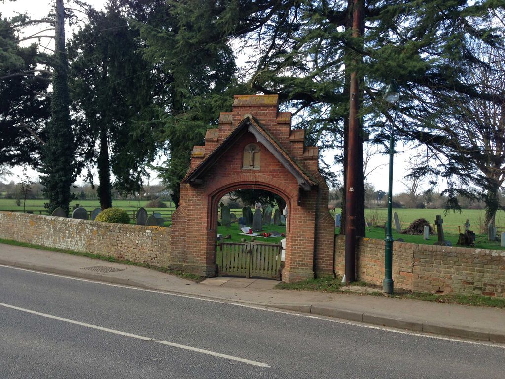
| Description | : | This is opposite St. James's Church, to which it belongs. |
frequently asked questions (FAQ):
-
Where is St James the Less Churchyard?
St James the Less Churchyard is located at Dorney, South Bucks District ,Buckinghamshire ,England.
-
St James the Less Churchyard cemetery's updated grave count on graveviews.com?
1 memorials
-
Where are the coordinates of the St James the Less Churchyard?
Latitude: 51.5030670
Longitude: -0.6689740
Nearby Cemetories:
1. Burnham Abbey Church of St. Mary
Burnham, South Bucks District, England
Coordinate: 51.5155000, -0.6607100
2. Oakley Green Cemetery
Windsor, Windsor and Maidenhead Royal Borough, England
Coordinate: 51.4859830, -0.6668160
3. St Mary Magdalene Churchyard Boveney
South Bucks District, England
Coordinate: 51.4902860, -0.6474170
4. Bray Parish Cemetery
Bray, Windsor and Maidenhead Royal Borough, England
Coordinate: 51.4975520, -0.6989780
5. St Michael Churchyard
Bray, Windsor and Maidenhead Royal Borough, England
Coordinate: 51.5090920, -0.7020450
6. St John the Baptist Churchyard
Eton, Windsor and Maidenhead Royal Borough, England
Coordinate: 51.4958960, -0.6303240
7. Braywick Cemetery
Maidenhead, Windsor and Maidenhead Royal Borough, England
Coordinate: 51.5086460, -0.7141110
8. St Peter Churchyard
Burnham, South Bucks District, England
Coordinate: 51.5328060, -0.6598430
9. St. Nicolas' Churchyard
Taplow, South Bucks District, England
Coordinate: 51.5313140, -0.6867530
10. St. Mary's Churchyard
Hitcham, South Bucks District, England
Coordinate: 51.5346430, -0.6750330
11. The Old Churchyard
Taplow, South Bucks District, England
Coordinate: 51.5312190, -0.6950540
12. St Andrew the Apostle Churchyard
Clewer, Windsor and Maidenhead Royal Borough, England
Coordinate: 51.4856620, -0.6246920
13. Zion Chapel Burial Ground
Burnham, South Bucks District, England
Coordinate: 51.5358700, -0.6594930
14. St John the Evangelist Cemetery
Eton, Windsor and Maidenhead Royal Borough, England
Coordinate: 51.4927100, -0.6142100
15. Eton Parish Cemetery
Eton, Windsor and Maidenhead Royal Borough, England
Coordinate: 51.4929619, -0.6140140
16. Eton College Chapel
Eton, Windsor and Maidenhead Royal Borough, England
Coordinate: 51.4915352, -0.6087430
17. St Luke Cemetery
Maidenhead, Windsor and Maidenhead Royal Borough, England
Coordinate: 51.5265500, -0.7233700
18. St John the Baptist Churchyard
Windsor, Windsor and Maidenhead Royal Borough, England
Coordinate: 51.4786250, -0.6136450
19. St. George's Chapel
Windsor, Windsor and Maidenhead Royal Borough, England
Coordinate: 51.4835910, -0.6068820
20. Windsor Cemetery
Windsor, Windsor and Maidenhead Royal Borough, England
Coordinate: 51.4703170, -0.6231090
21. Albert Memorial Chapel
Windsor, Windsor and Maidenhead Royal Borough, England
Coordinate: 51.4837180, -0.6061340
22. St Mary Churchyard
Slough, Slough Borough, England
Coordinate: 51.5090790, -0.5991854
23. All Saints Churchyard
Maidenhead, Windsor and Maidenhead Royal Borough, England
Coordinate: 51.5199210, -0.7367710
24. Nashdom Abbey Cemetery
Burnham, South Bucks District, England
Coordinate: 51.5490600, -0.6739000