
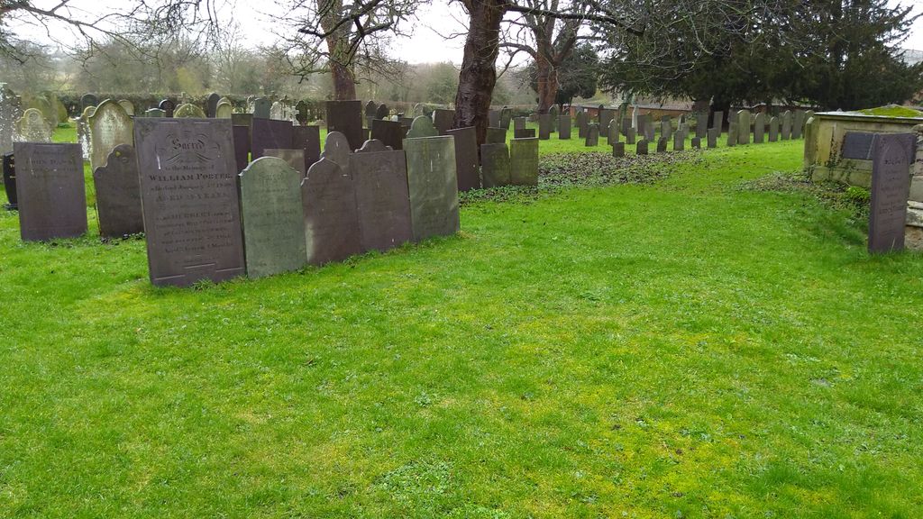
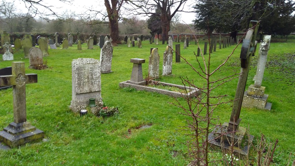
| Memorials | : | 60 |
| Location | : | Whatton, Rushcliffe Borough, England |
| Coordinate | : | 52.9493000, -0.8926000 |
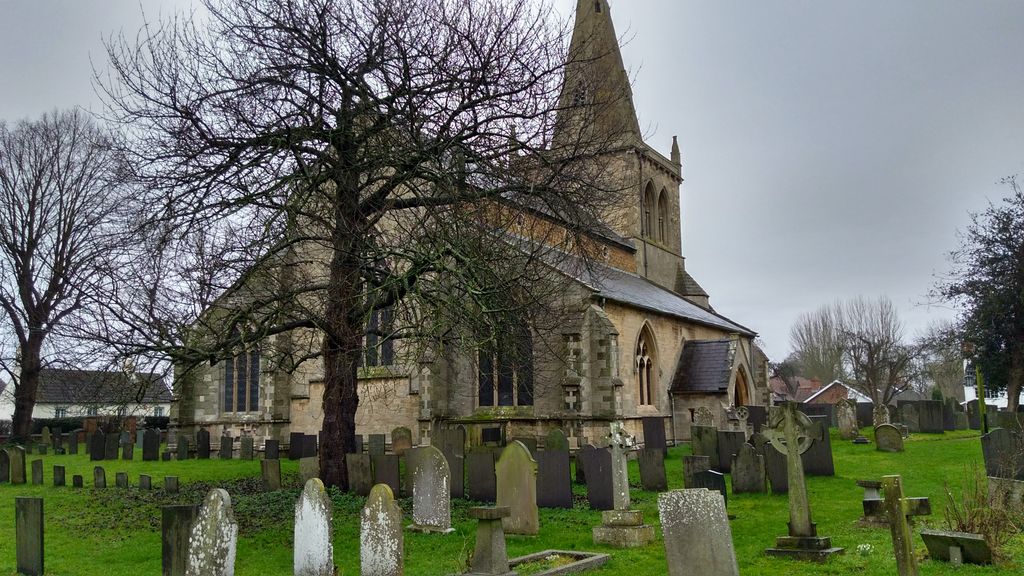
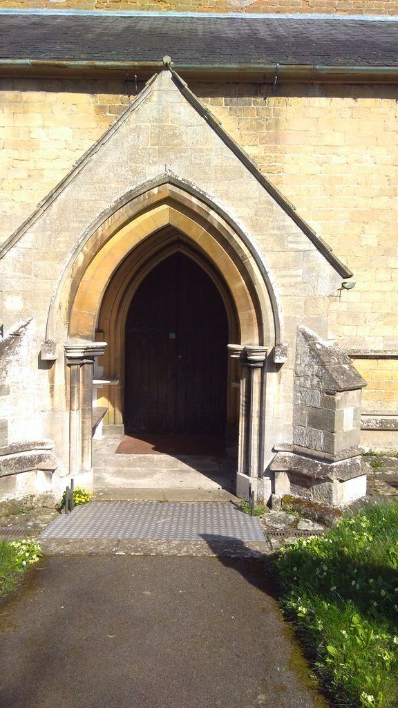
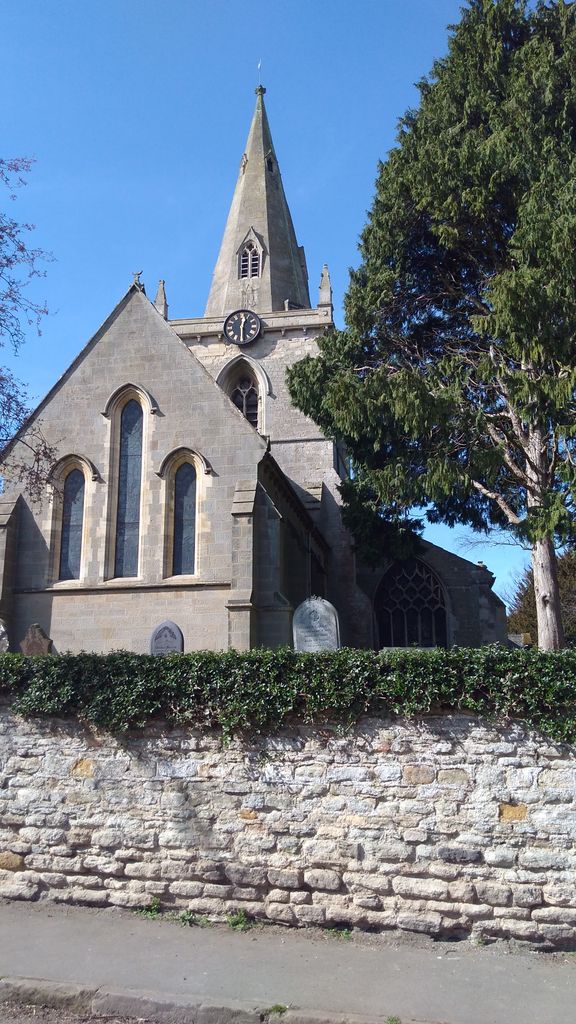
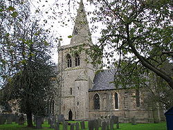
| Description | : | The church is Grade II* listed by the Department for Culture, Media & Sport as it is a particularly significant building of more than local interest. The church is medieval but little survived the restorations of 1846 and 1866 to 1867, and 1870. The church is an ancient structure, with a handsome tower surmounted by a spire. |
frequently asked questions (FAQ):
-
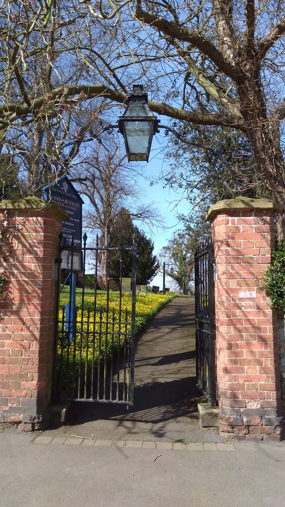
Where is St. John of Beverley Churchyard?
St. John of Beverley Churchyard is located at Church Walk Whatton, Rushcliffe Borough ,Nottinghamshire , NG13 9ENEngland.
-
St. John of Beverley Churchyard cemetery's updated grave count on graveviews.com?
59 memorials
-
Where are the coordinates of the St. John of Beverley Churchyard?
Latitude: 52.9493000
Longitude: -0.8926000
Nearby Cemetories:
1. St John of Beverley Churchyard
Scarrington, Rushcliffe Borough, England
Coordinate: 52.9667400, -0.9071900
2. St Mary's Churchyard
Orston, Rushcliffe Borough, England
Coordinate: 52.9622500, -0.8560300
3. All Saints Churchyard
Granby, Rushcliffe Borough, England
Coordinate: 52.9180770, -0.8847700
4. St Mary and All Saints Churchyard
Bingham, Rushcliffe Borough, England
Coordinate: 52.9522920, -0.9484950
5. St Mary & All Saints Churchyard
Hawksworth, Rushcliffe Borough, England
Coordinate: 52.9831700, -0.8800500
6. St Peter's Churchyard
Flawborough, Rushcliffe Borough, England
Coordinate: 52.9773700, -0.8365800
7. St Andrews Churchyard
Langar, Rushcliffe Borough, England
Coordinate: 52.9034742, -0.9259344
8. Barkestone le Vale St Peter & St Paul
Barkestone, Melton Borough, England
Coordinate: 52.9062600, -0.8450200
9. St Mary & All Saints Churchyard
Shelton, Rushcliffe Borough, England
Coordinate: 52.9932200, -0.8389300
10. St. Helen's Churchyard
Plungar, Melton Borough, England
Coordinate: 52.8986260, -0.8569390
11. St. Mary the Virgin Churchyard
Bottesford, Melton Borough, England
Coordinate: 52.9434270, -0.8001460
12. St Mary's Churchyard
Kilvington, Newark and Sherwood District, England
Coordinate: 52.9772500, -0.8092250
13. Saint Peter Churchyard
East Bridgford, Rushcliffe Borough, England
Coordinate: 52.9809170, -0.9726560
14. St Peter Churchyard
Redmile, Melton Borough, England
Coordinate: 52.9113200, -0.8161530
15. St Giles Churchyard
Cropwell Bishop, Rushcliffe Borough, England
Coordinate: 52.9127600, -0.9831300
16. All Saints Churchyard
Syerston, Newark and Sherwood District, England
Coordinate: 53.0194600, -0.8884800
17. St John the Baptist Gunthorpe
Gunthorpe, Newark and Sherwood District, England
Coordinate: 52.9925600, -0.9877400
18. Shelford Priory
Shelford, Rushcliffe Borough, England
Coordinate: 52.9830600, -0.9994100
19. St Michael Churchyard
Hoveringham, Newark and Sherwood District, England
Coordinate: 53.0124370, -0.9603240
20. St Mary the Virgin Churchyard
Harby, Melton Borough, England
Coordinate: 52.8739600, -0.8912030
21. All Saints Churchyard
Elston, Newark and Sherwood District, England
Coordinate: 53.0237280, -0.8701810
22. St John the Baptist Churchyard
Muston, Melton Borough, England
Coordinate: 52.9315700, -0.7680600
23. SS Peter & Paul Churchyard
Shelford, Rushcliffe Borough, England
Coordinate: 52.9745600, -1.0161200
24. St. Guthlac's Churchyard
Stathern, Melton Borough, England
Coordinate: 52.8707708, -0.8528169