
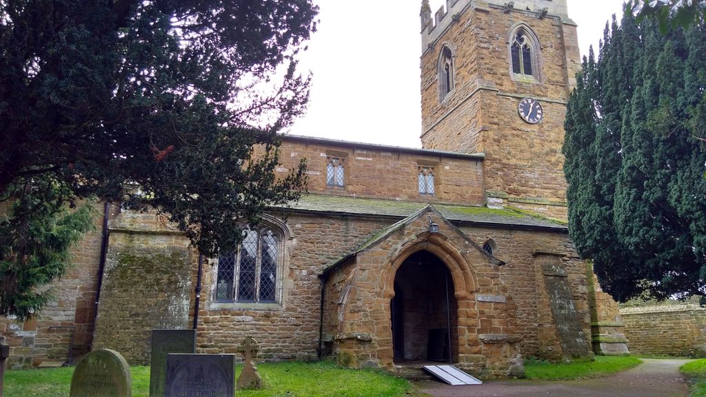
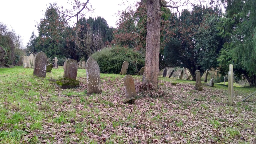
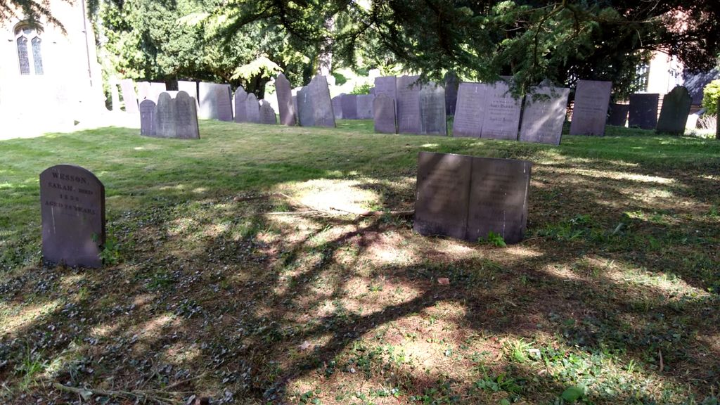
| Memorials | : | 28 |
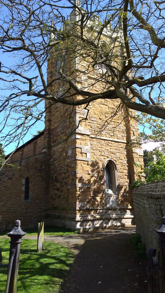
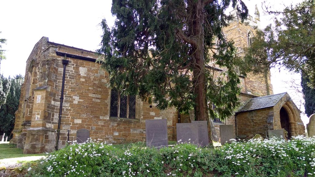
| Location | : | Stathern, Melton Borough, England |
| Coordinate | : | 52.8707708, -0.8528169 |
frequently asked questions (FAQ):
-
Where is St. Guthlac's Churchyard?
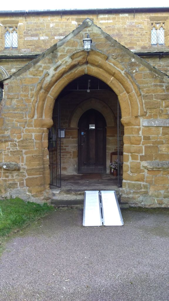
St. Guthlac's Churchyard is located at Stathern, Melton Borough ,Leicestershire ,England.
-
St. Guthlac's Churchyard cemetery's updated grave count on graveviews.com?
28 memorials
-
Where are the coordinates of the St. Guthlac's Churchyard?
Latitude: 52.8707708
Longitude: -0.8528169


Nearby Cemetories:
1. St Michael and All Angels Churchyard
Eastwell, Melton Borough, England
Coordinate: 52.8483680, -0.8508990
2. St Mary the Virgin Churchyard
Harby, Melton Borough, England
Coordinate: 52.8739600, -0.8912030
3. Eaton Cemetery
Eaton, Melton Borough, England
Coordinate: 52.8544070, -0.8174640
4. St. Helen's Churchyard
Plungar, Melton Borough, England
Coordinate: 52.8986260, -0.8569390
5. St Denys Churchyard
Eaton, Melton Borough, England
Coordinate: 52.8530490, -0.8164422
6. Hose Baptist Chapel Lane Churchyard
Hose, Melton Borough, England
Coordinate: 52.8588460, -0.9049480
7. St Guthlac Churchyard
Branston, Melton Borough, England
Coordinate: 52.8570750, -0.7988980
8. Barkestone le Vale St Peter & St Paul
Barkestone, Melton Borough, England
Coordinate: 52.9062600, -0.8450200
9. Saint Michael & All Angels Churchyard
Hose, Melton Borough, England
Coordinate: 52.8558840, -0.9080560
10. St. Deny's Churchyard
Goadby Marwood, Melton Borough, England
Coordinate: 52.8293300, -0.8447300
11. Belvoir Castle
Belvoir, Melton Borough, England
Coordinate: 52.8911170, -0.7855620
12. All Saints Churchyard
Knipton, South Kesteven District, England
Coordinate: 52.8711300, -0.7769400
13. St Peter Churchyard
Redmile, Melton Borough, England
Coordinate: 52.9113200, -0.8161530
14. Belvoir Priory
Bottesford, Melton Borough, England
Coordinate: 52.8982090, -0.7825130
15. All Saints Churchyard
Granby, Rushcliffe Borough, England
Coordinate: 52.9180770, -0.8847700
16. Croxton Abbey
Croxton Kerrial, Melton Borough, England
Coordinate: 52.8398910, -0.7786310
17. St Andrews Churchyard
Langar, Rushcliffe Borough, England
Coordinate: 52.9034742, -0.9259344
18. St. Remigius Churchyard
Long Clawson, Melton Borough, England
Coordinate: 52.8373290, -0.9294660
19. St Botolph & St John Baptist Churchyard
Croxton Kerrial, Melton Borough, England
Coordinate: 52.8565120, -0.7608620
20. Long Clawson Sandpit Lane Cemetery
Long Clawson, Melton Borough, England
Coordinate: 52.8338110, -0.9273370
21. St Michael & All Angels Churchyard
Harston, Melton Borough, England
Coordinate: 52.8769700, -0.7556000
22. St. Mary Magdalene Churchyard
Waltham on the Wolds, Melton Borough, England
Coordinate: 52.8170300, -0.8106600
23. St Egelwin Churchyard
Scalford, Melton Borough, England
Coordinate: 52.8093250, -0.8694080
24. St James Churchyard
Woolsthorpe-by-Belvoir, South Kesteven District, England
Coordinate: 52.8957880, -0.7578370