
| Memorials | : | 55 |
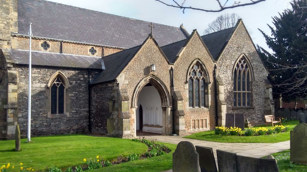
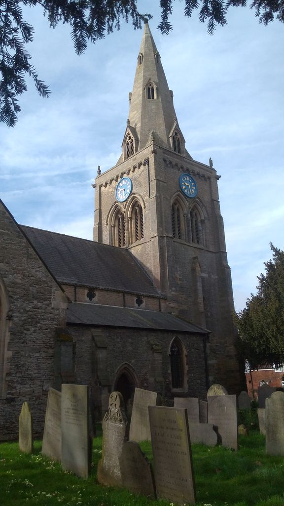
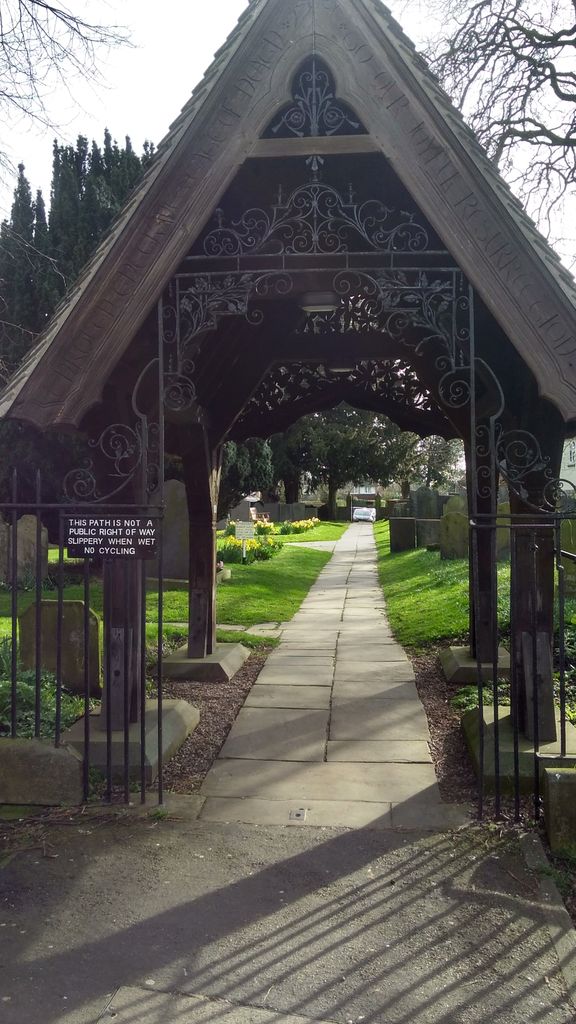
| Location | : | Bingham, Rushcliffe Borough, England |
| Coordinate | : | 52.9522920, -0.9484950 |
frequently asked questions (FAQ):
-
Where is St Mary and All Saints Churchyard?
St Mary and All Saints Churchyard is located at Bingham, Rushcliffe Borough ,Nottinghamshire ,England.
-
St Mary and All Saints Churchyard cemetery's updated grave count on graveviews.com?
55 memorials
-
Where are the coordinates of the St Mary and All Saints Churchyard?
Latitude: 52.9522920
Longitude: -0.9484950


Nearby Cemetories:
1. St John of Beverley Churchyard
Scarrington, Rushcliffe Borough, England
Coordinate: 52.9667400, -0.9071900
2. Saint Peter Churchyard
East Bridgford, Rushcliffe Borough, England
Coordinate: 52.9809170, -0.9726560
3. St. John of Beverley Churchyard
Whatton, Rushcliffe Borough, England
Coordinate: 52.9493000, -0.8926000
4. Shelford Priory
Shelford, Rushcliffe Borough, England
Coordinate: 52.9830600, -0.9994100
5. St Giles Churchyard
Cropwell Bishop, Rushcliffe Borough, England
Coordinate: 52.9127600, -0.9831300
6. SS Peter & Paul Churchyard
Shelford, Rushcliffe Borough, England
Coordinate: 52.9745600, -1.0161200
7. St John the Baptist Gunthorpe
Gunthorpe, Newark and Sherwood District, England
Coordinate: 52.9925600, -0.9877400
8. St Andrews Churchyard
Langar, Rushcliffe Borough, England
Coordinate: 52.9034742, -0.9259344
9. All Saints Churchyard
Granby, Rushcliffe Borough, England
Coordinate: 52.9180770, -0.8847700
10. St Mary & All Saints Churchyard
Hawksworth, Rushcliffe Borough, England
Coordinate: 52.9831700, -0.8800500
11. Radcliffe-on-Trent Cemetery
Radcliffe-on-Trent, Rushcliffe Borough, England
Coordinate: 52.9459200, -1.0409700
12. St Mary's Churchyard
Orston, Rushcliffe Borough, England
Coordinate: 52.9622500, -0.8560300
13. St Mary Churchyard
Radcliffe-on-Trent, Rushcliffe Borough, England
Coordinate: 52.9464660, -1.0419420
14. St Luke's Churchyard
Stoke Bardolph, Gedling Borough, England
Coordinate: 52.9680500, -1.0389300
15. St. Luke's Churchyard
Stoke Bardolph, Gedling Borough, England
Coordinate: 52.9659896, -1.0404380
16. St Michael Churchyard
Hoveringham, Newark and Sherwood District, England
Coordinate: 53.0124370, -0.9603240
17. St. Helen's Churchyard
Burton Joyce, Gedling Borough, England
Coordinate: 52.9866700, -1.0365400
18. Burton Joyce Cemetery
Burton Joyce, Gedling Borough, England
Coordinate: 52.9863100, -1.0370710
19. All Saints Churchyard
Cotgrave, Rushcliffe Borough, England
Coordinate: 52.9116900, -1.0436100
20. St Laurence's Churchyard
Gonalston, Newark and Sherwood District, England
Coordinate: 53.0201000, -0.9845830
21. St Peter's Churchyard
Flawborough, Rushcliffe Borough, England
Coordinate: 52.9773700, -0.8365800
22. Lowdham Saint Mary Churchyard Extension
Lowdham, Newark and Sherwood District, England
Coordinate: 53.0143500, -1.0125800
23. St Mary the Virgin Churchyard
Lowdham, Newark and Sherwood District, England
Coordinate: 53.0146670, -1.0135510
24. All Saints Churchyard
Syerston, Newark and Sherwood District, England
Coordinate: 53.0194600, -0.8884800