
| Memorials | : | 0 |
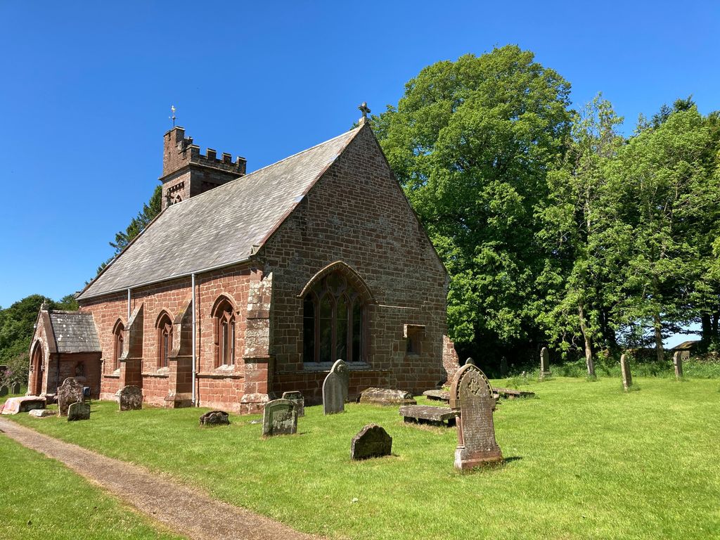
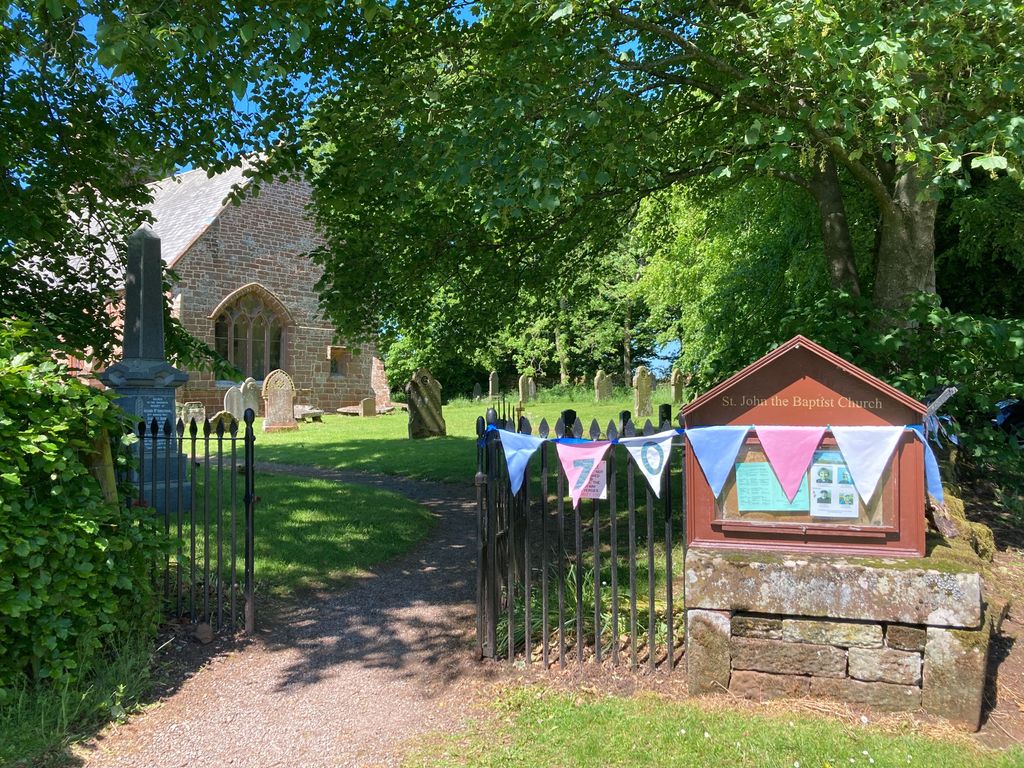
| Location | : | Melmerby, Eden District, England |
| Coordinate | : | 54.7304650, -2.6051700 |
frequently asked questions (FAQ):
-
Where is St John the Baptist Churchyard?
St John the Baptist Churchyard is located at Church Road Melmerby, Eden District ,Cumbria , CA10 1HDEngland.
-
St John the Baptist Churchyard cemetery's updated grave count on graveviews.com?
0 memorials
-
Where are the coordinates of the St John the Baptist Churchyard?
Latitude: 54.7304650
Longitude: -2.6051700
Nearby Cemetories:
1. Saint Michael Churchyard
Glassonby, Eden District, England
Coordinate: 54.7382400, -2.6620900
2. St John the Evangelist Churchyard
Skirwith, Eden District, England
Coordinate: 54.6869000, -2.5944870
3. Langwathby Cemetery
Langwathby, Eden District, England
Coordinate: 54.7043400, -2.6750620
4. St. Peter's Churchyard
Langwathby, Eden District, England
Coordinate: 54.6968220, -2.6701190
5. Saint Cuthbert Churchyard
Great Salkeld, Eden District, England
Coordinate: 54.7239460, -2.6978280
6. St. Lawrence Churchyard
Kirkland, Eden District, England
Coordinate: 54.6864180, -2.5505640
7. All Saints Churchyard
Renwick, Eden District, England
Coordinate: 54.7859060, -2.6282720
8. St. Oswald Churchyard
Kirkoswald, Eden District, England
Coordinate: 54.7612000, -2.6930770
9. St. Nicholas Churchyard
Lazonby, Eden District, England
Coordinate: 54.7506180, -2.7019380
10. Saint Cuthbert's Churchyard
Edenhall, Eden District, England
Coordinate: 54.6816000, -2.6700000
11. All Saints Churchyard
Culgaith, Eden District, England
Coordinate: 54.6606090, -2.6059000
12. Saint Cuthbert’s Churchyard
Milburn, Eden District, England
Coordinate: 54.6554800, -2.5404800
13. Eden Valley Crematorium
Temple Sowerby, Eden District, England
Coordinate: 54.6451850, -2.6237780
14. Saint James Churchyard
Temple Sowerby, Eden District, England
Coordinate: 54.6378210, -2.6033040
15. St. John the Baptist Churchyard
Croglin, Eden District, England
Coordinate: 54.8183850, -2.6636280
16. Beacon Edge Cemetery
Penrith, Eden District, England
Coordinate: 54.6728020, -2.7503650
17. St John the Evangelist Churchyard
Hesket, Eden District, England
Coordinate: 54.7268660, -2.7821200
18. Penrith Quaker Meeting House
Penrith, Eden District, England
Coordinate: 54.6664360, -2.7513030
19. St Michael Churchyard
Kirkby Thore, Eden District, England
Coordinate: 54.6272940, -2.5621770
20. Christ Church
Penrith, Eden District, England
Coordinate: 54.6678290, -2.7548970
21. St. Andrew's Churchyard
Penrith, Eden District, England
Coordinate: 54.6640750, -2.7513390
22. Brougham Castle
Brougham, Eden District, England
Coordinate: 54.6493200, -2.7285300
23. St Michael's Churchyard
Ainstable, Eden District, England
Coordinate: 54.8129950, -2.7328490
24. Brougham Hall and St Wilfrids Chapel Grounds
Brougham, Eden District, England
Coordinate: 54.6482400, -2.7334200