
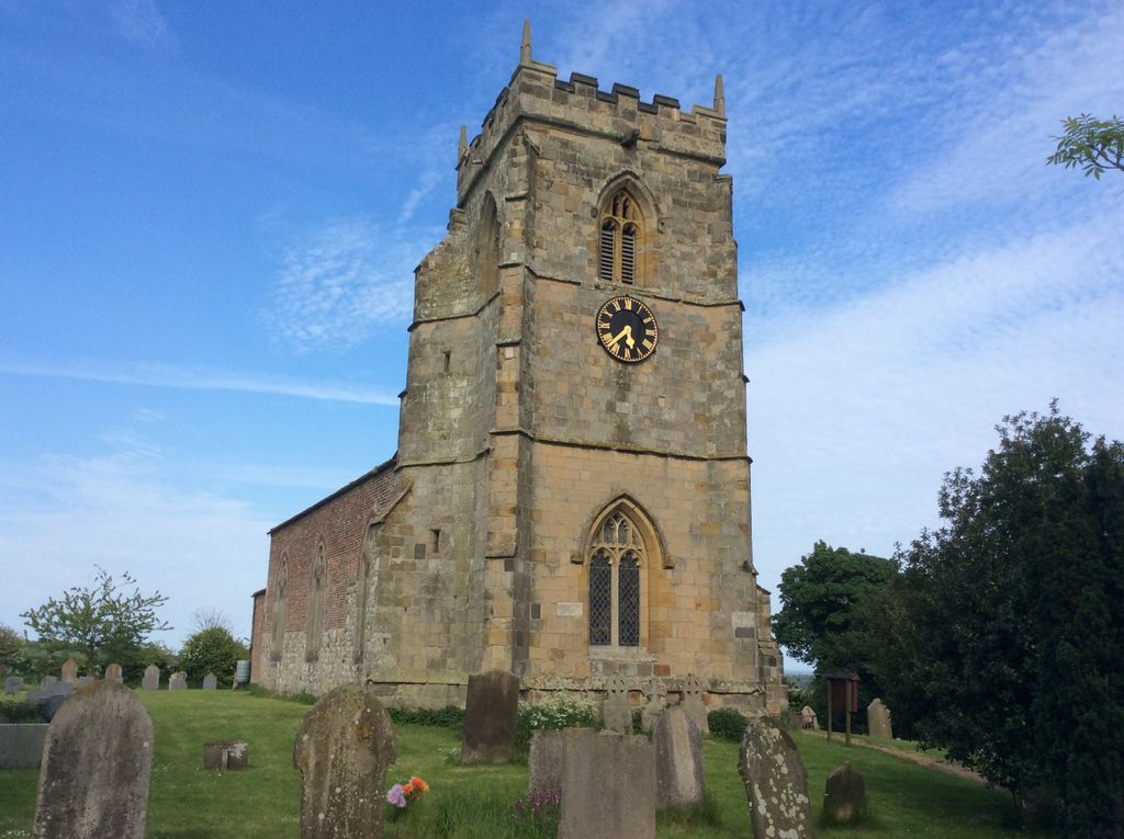
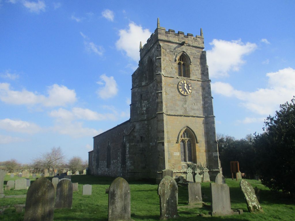
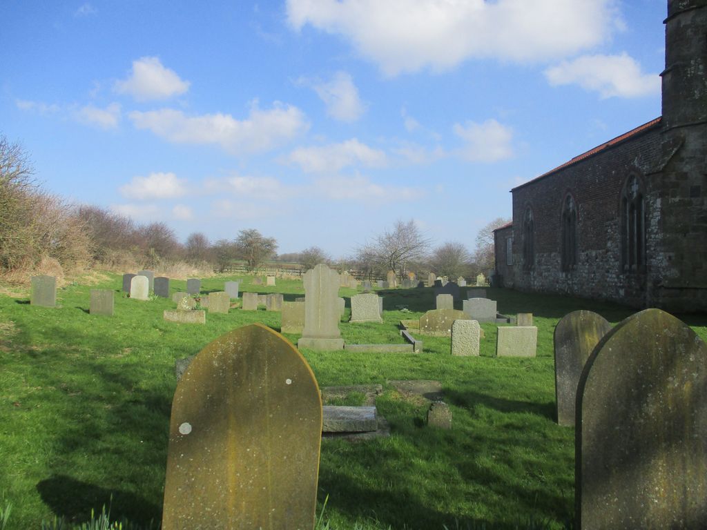
| Memorials | : | 0 |
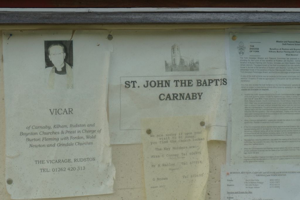
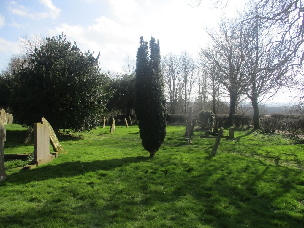
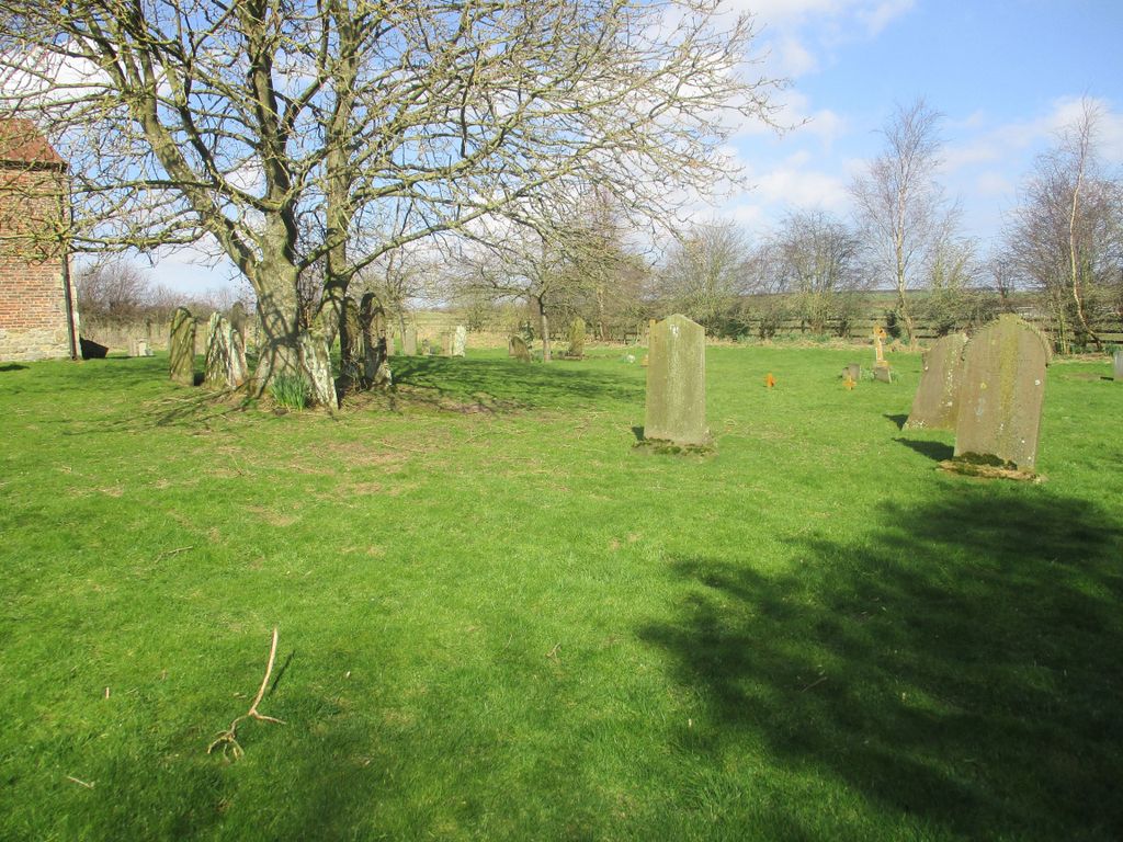
| Location | : | Carnaby, East Riding of Yorkshire Unitary Authority, England |
| Coordinate | : | 54.0735150, -0.2524190 |
frequently asked questions (FAQ):
-
Where is St John the Baptist Churchyard?
St John the Baptist Churchyard is located at Carnaby, East Riding of Yorkshire Unitary Authority ,East Riding of Yorkshire ,England.
-
St John the Baptist Churchyard cemetery's updated grave count on graveviews.com?
0 memorials
-
Where are the coordinates of the St John the Baptist Churchyard?
Latitude: 54.0735150
Longitude: -0.2524190

Nearby Cemetories:
1. St Magnus Churchyard
Bessingby, East Riding of Yorkshire Unitary Authority, England
Coordinate: 54.0762540, -0.2300000
2. St Andrew Churchyard
Boynton, East Riding of Yorkshire Unitary Authority, England
Coordinate: 54.0950500, -0.2635100
3. Priory Church of St. Mary Churchyard
Bridlington, East Riding of Yorkshire Unitary Authority, England
Coordinate: 54.0943730, -0.2018530
4. Bridlington Cemetery
Bridlington, East Riding of Yorkshire Unitary Authority, England
Coordinate: 54.0961100, -0.1941400
5. St Martin Churchyard
Burton Agnes, East Riding of Yorkshire Unitary Authority, England
Coordinate: 54.0534690, -0.3180740
6. Burton Agnes Cemetery
Burton Agnes, East Riding of Yorkshire Unitary Authority, England
Coordinate: 54.0535070, -0.3202460
7. St. John of Beverley Churchyard
Harpham, East Riding of Yorkshire Unitary Authority, England
Coordinate: 54.0387080, -0.3336340
8. St. John the Evangelist Churchyard
Bridlington, East Riding of Yorkshire Unitary Authority, England
Coordinate: 54.1035900, -0.1646040
9. All Saints Churchyard
Barmston, East Riding of Yorkshire Unitary Authority, England
Coordinate: 54.0128770, -0.2363350
10. St James of Compostella Churchyard
Lissett, East Riding of Yorkshire Unitary Authority, England
Coordinate: 54.0059600, -0.2552300
11. Kilham Cemetery
Kilham, East Riding of Yorkshire Unitary Authority, England
Coordinate: 54.0687100, -0.3690310
12. St Michael Churchyard
Bempton, East Riding of Yorkshire Unitary Authority, England
Coordinate: 54.1310270, -0.1784250
13. All Saints Churchyard
Kilham, East Riding of Yorkshire Unitary Authority, England
Coordinate: 54.0645570, -0.3750570
14. St. Martin's Churchyard
Lowthorpe, East Riding of Yorkshire Unitary Authority, England
Coordinate: 54.0318880, -0.3537900
15. St Cuthbert Churchyard
Burton Fleming, East Riding of Yorkshire Unitary Authority, England
Coordinate: 54.1357420, -0.3431860
16. St Oswald Churchyard
Flamborough, East Riding of Yorkshire Unitary Authority, England
Coordinate: 54.1126790, -0.1259460
17. St Peter Churchyard
Reighton, Scarborough Borough, England
Coordinate: 54.1602500, -0.2692900
18. St Andrew Churchyard
Foston, East Riding of Yorkshire Unitary Authority, England
Coordinate: 53.9864230, -0.3227200
19. St Leonard Churchyard
Beeford, East Riding of Yorkshire Unitary Authority, England
Coordinate: 53.9731490, -0.2801510
20. God's Acre Cemetery
Hunmanby, Scarborough Borough, England
Coordinate: 54.1742830, -0.3167530
21. All Saints Churchyard
Hunmanby, Scarborough Borough, England
Coordinate: 54.1813770, -0.3219840
22. Driffield Cemetery
Driffield, East Riding of Yorkshire Unitary Authority, England
Coordinate: 54.0112620, -0.4254680
23. Fordon Churchyard
East Riding of Yorkshire Unitary Authority, England
Coordinate: 54.1610140, -0.3939100
24. Octon Crematorium
Langtoft, East Riding of Yorkshire Unitary Authority, England
Coordinate: 54.1089720, -0.4506760