| Memorials | : | 0 |
| Location | : | Bridlington, East Riding of Yorkshire Unitary Authority, England |
| Website | : | www.achurchnearyou.com/church/19088/ |
| Coordinate | : | 54.1035900, -0.1646040 |
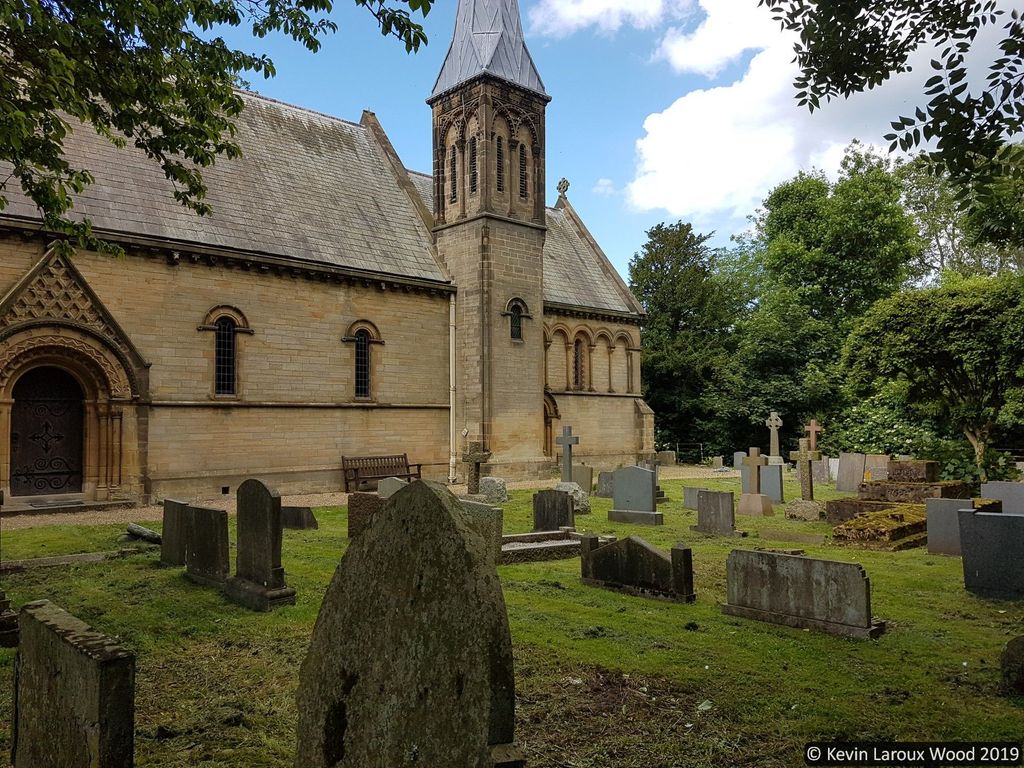
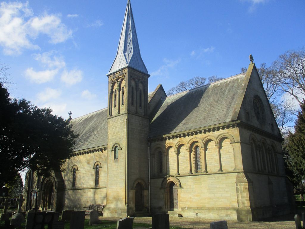
| Description | : | The church of St John the Evangelist, Sewerby, is designated as a Grade II listed building. It is considered to be a mid to late 1840s church by one of the greatest church architects of the 19th-century, George Gilbert Scott. The choice of the neo-Norman style is of particular interest in that it is very typical in Scott's work and one of the last examples of this style which was briefly fashionable from the mid-1830s to the mid-1840s. The furnishings and fittings are very largely intact and the neo-Norman style for many of the fittings and... Read More |
frequently asked questions (FAQ):
-
Where is St. John the Evangelist Churchyard?
St. John the Evangelist Churchyard is located at Church Lane, Sewerby, Bridlington. East Yorkshire. Bridlington, East Riding of Yorkshire Unitary Authority ,East Riding of Yorkshire , YO15 1EAEngland.
-
St. John the Evangelist Churchyard cemetery's updated grave count on graveviews.com?
0 memorials
-
Where are the coordinates of the St. John the Evangelist Churchyard?
Latitude: 54.1035900
Longitude: -0.1646040
Nearby Cemetories:
1. Bridlington Cemetery
Bridlington, East Riding of Yorkshire Unitary Authority, England
Coordinate: 54.0961100, -0.1941400
2. Priory Church of St. Mary Churchyard
Bridlington, East Riding of Yorkshire Unitary Authority, England
Coordinate: 54.0943730, -0.2018530
3. St Oswald Churchyard
Flamborough, East Riding of Yorkshire Unitary Authority, England
Coordinate: 54.1126790, -0.1259460
4. St Michael Churchyard
Bempton, East Riding of Yorkshire Unitary Authority, England
Coordinate: 54.1310270, -0.1784250
5. St Magnus Churchyard
Bessingby, East Riding of Yorkshire Unitary Authority, England
Coordinate: 54.0762540, -0.2300000
6. St Andrew Churchyard
Boynton, East Riding of Yorkshire Unitary Authority, England
Coordinate: 54.0950500, -0.2635100
7. St John the Baptist Churchyard
Carnaby, East Riding of Yorkshire Unitary Authority, England
Coordinate: 54.0735150, -0.2524190
8. St Peter Churchyard
Reighton, Scarborough Borough, England
Coordinate: 54.1602500, -0.2692900
9. All Saints Churchyard
Barmston, East Riding of Yorkshire Unitary Authority, England
Coordinate: 54.0128770, -0.2363350
10. St Martin Churchyard
Burton Agnes, East Riding of Yorkshire Unitary Authority, England
Coordinate: 54.0534690, -0.3180740
11. Burton Agnes Cemetery
Burton Agnes, East Riding of Yorkshire Unitary Authority, England
Coordinate: 54.0535070, -0.3202460
12. St Cuthbert Churchyard
Burton Fleming, East Riding of Yorkshire Unitary Authority, England
Coordinate: 54.1357420, -0.3431860
13. St James of Compostella Churchyard
Lissett, East Riding of Yorkshire Unitary Authority, England
Coordinate: 54.0059600, -0.2552300
14. God's Acre Cemetery
Hunmanby, Scarborough Borough, England
Coordinate: 54.1742830, -0.3167530
15. St. John of Beverley Churchyard
Harpham, East Riding of Yorkshire Unitary Authority, England
Coordinate: 54.0387080, -0.3336340
16. All Saints Churchyard
Hunmanby, Scarborough Borough, England
Coordinate: 54.1813770, -0.3219840
17. Kilham Cemetery
Kilham, East Riding of Yorkshire Unitary Authority, England
Coordinate: 54.0687100, -0.3690310
18. The Lawns Cemetery
Filey, Scarborough Borough, England
Coordinate: 54.2049300, -0.2953600
19. All Saints Churchyard
Kilham, East Riding of Yorkshire Unitary Authority, England
Coordinate: 54.0645570, -0.3750570
20. St Oswald Churchyard
Filey, Scarborough Borough, England
Coordinate: 54.2128590, -0.2869060
21. St. Martin's Churchyard
Lowthorpe, East Riding of Yorkshire Unitary Authority, England
Coordinate: 54.0318880, -0.3537900
22. All Saints Churchyard
Muston, Scarborough Borough, England
Coordinate: 54.2011600, -0.3187500
23. Fordon Churchyard
East Riding of Yorkshire Unitary Authority, England
Coordinate: 54.1610140, -0.3939100
24. St Leonard Churchyard
Beeford, East Riding of Yorkshire Unitary Authority, England
Coordinate: 53.9731490, -0.2801510


