
| Memorials | : | 0 |
| Location | : | East Riding of Yorkshire Unitary Authority, England |
| Coordinate | : | 54.1610140, -0.3939100 |
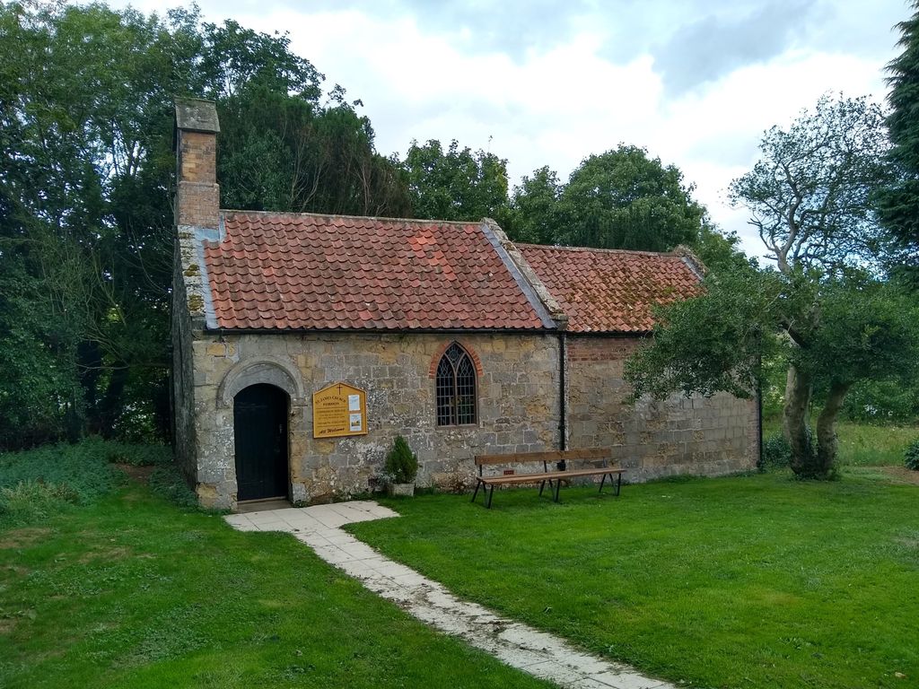
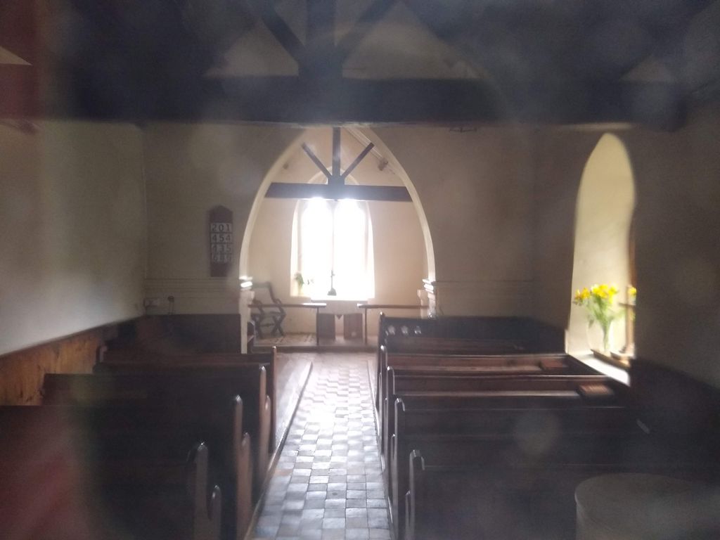
| Description | : | There is a small church dedicated to St James that is now a Grade II* listed building. It is part of the civil parish of Wold Newton. Fordon is in the East Riding of Yorkshire, England, near the border with North Yorkshire. It is situated approximately 8 miles (13 km) south of Scarborough and 10 miles (16 km) north-west of Bridlington. |
frequently asked questions (FAQ):
-
Where is Fordon Churchyard?
Fordon Churchyard is located at East Riding of Yorkshire Unitary Authority ,East Riding of Yorkshire ,England.
-
Fordon Churchyard cemetery's updated grave count on graveviews.com?
0 memorials
-
Where are the coordinates of the Fordon Churchyard?
Latitude: 54.1610140
Longitude: -0.3939100
Nearby Cemetories:
1. St Cuthbert Churchyard
Burton Fleming, East Riding of Yorkshire Unitary Authority, England
Coordinate: 54.1357420, -0.3431860
2. Flixton Cemetery New
Folkton, Scarborough Borough, England
Coordinate: 54.2006600, -0.3934700
3. St John The Evangelist Churchyard
Folkton, Scarborough Borough, England
Coordinate: 54.2020400, -0.3865200
4. All Saints Churchyard
Hunmanby, Scarborough Borough, England
Coordinate: 54.1813770, -0.3219840
5. God's Acre Cemetery
Hunmanby, Scarborough Borough, England
Coordinate: 54.1742830, -0.3167530
6. St. Peter's Churchyard
Willerby, Ryedale District, England
Coordinate: 54.1984200, -0.4558500
7. St Nicholas Churchyard
Ganton, Ryedale District, England
Coordinate: 54.1846000, -0.4846000
8. All Saints Churchyard
Muston, Scarborough Borough, England
Coordinate: 54.2011600, -0.3187500
9. St Nicholas Churchyard
Foxholes, Ryedale District, England
Coordinate: 54.1297000, -0.4843000
10. Octon Crematorium
Langtoft, East Riding of Yorkshire Unitary Authority, England
Coordinate: 54.1089720, -0.4506760
11. Cayton Cemetery
Cayton, Scarborough Borough, England
Coordinate: 54.2314030, -0.3755910
12. The Lawns Cemetery
Filey, Scarborough Borough, England
Coordinate: 54.2049300, -0.2953600
13. St Peter Churchyard
Reighton, Scarborough Borough, England
Coordinate: 54.1602500, -0.2692900
14. St. John the Baptist Churchyard
Cayton, Scarborough Borough, England
Coordinate: 54.2346470, -0.3805180
15. St Martin Churchyard
Seamer, Scarborough Borough, England
Coordinate: 54.2361500, -0.4437100
16. St Oswald Churchyard
Filey, Scarborough Borough, England
Coordinate: 54.2128590, -0.2869060
17. St Andrew Churchyard
Weaverthorpe, Ryedale District, England
Coordinate: 54.1267400, -0.5226800
18. St. Hilda Churchyard
Sherburn, Ryedale District, England
Coordinate: 54.1837400, -0.5311200
19. Kilham Cemetery
Kilham, East Riding of Yorkshire Unitary Authority, England
Coordinate: 54.0687100, -0.3690310
20. All Saints Churchyard
Kilham, East Riding of Yorkshire Unitary Authority, England
Coordinate: 54.0645570, -0.3750570
21. St Andrew Churchyard
Boynton, East Riding of Yorkshire Unitary Authority, England
Coordinate: 54.0950500, -0.2635100
22. St. John the Baptist Churchyard
East Ayton, Scarborough Borough, England
Coordinate: 54.2508900, -0.4792900
23. Cottam Church
Cottam, East Riding of Yorkshire Unitary Authority, England
Coordinate: 54.0707320, -0.4833770
24. St Matthew Churchyard
Hutton Buscel, Scarborough Borough, England
Coordinate: 54.2426410, -0.5071200