
| Memorials | : | 244 |
| Location | : | Burley, New Forest District, England |
| Website | : | www.burleychurch.co.uk/index.htm |
| Coordinate | : | 50.8274700, -1.6971500 |
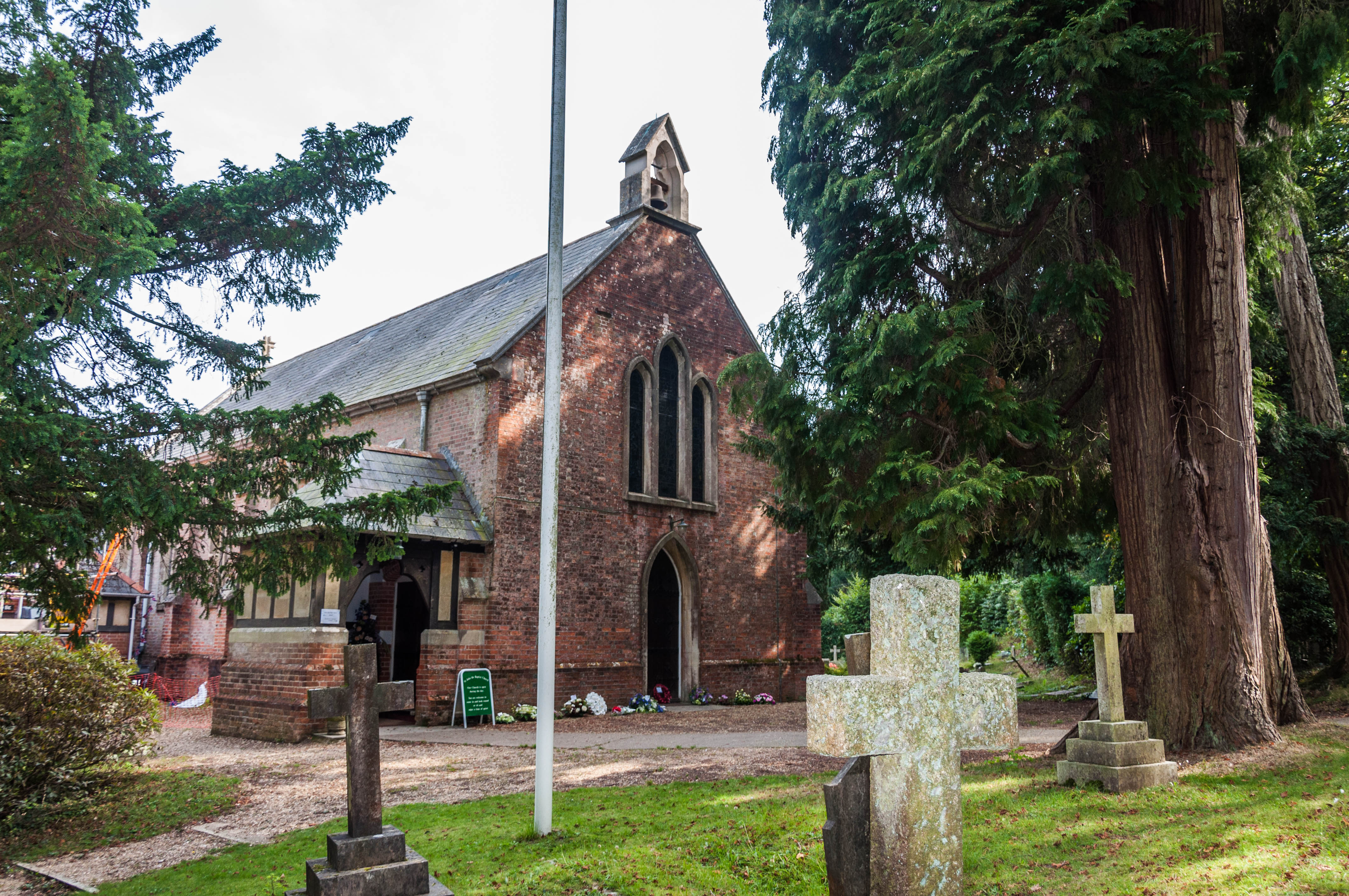
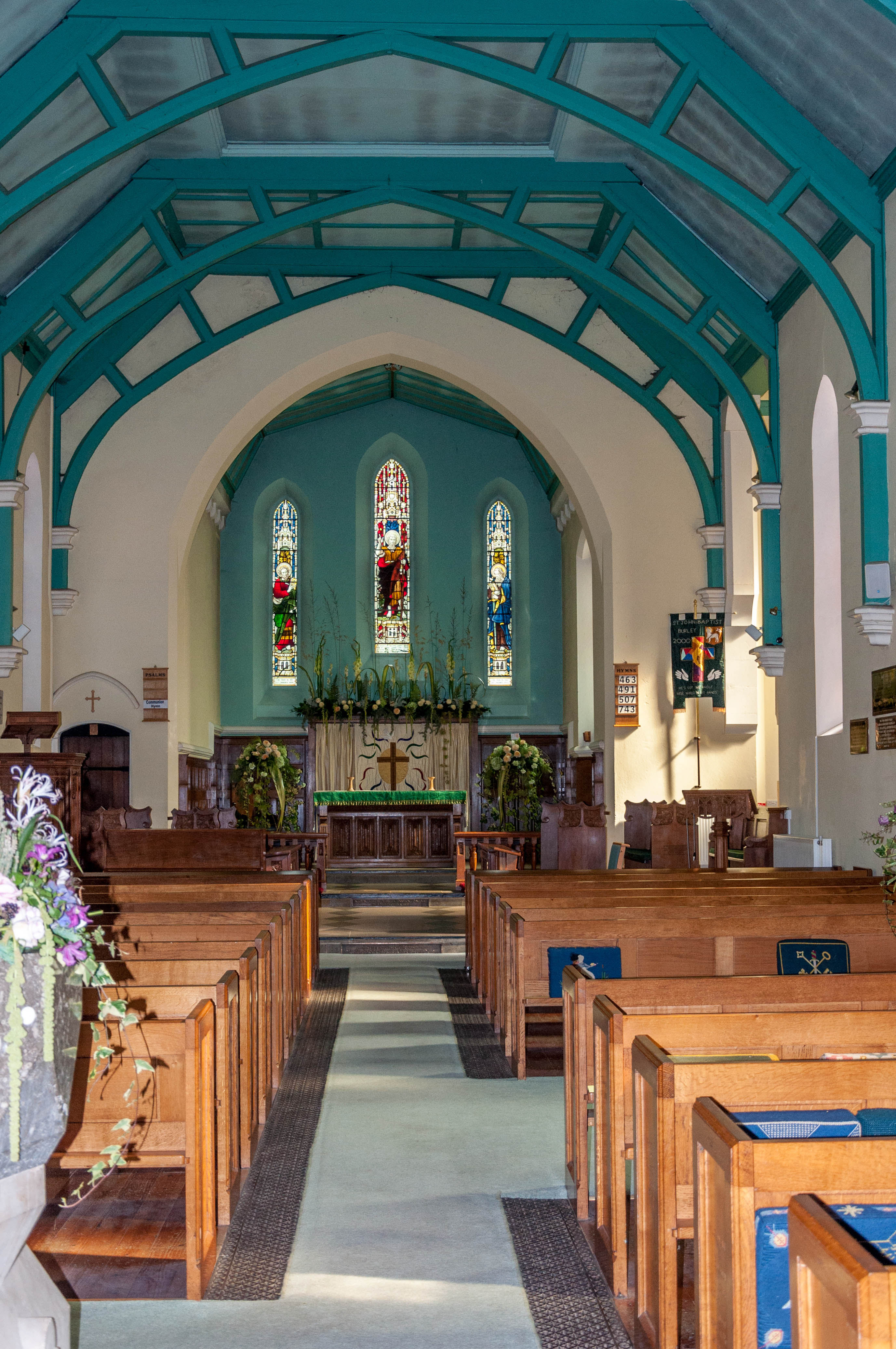
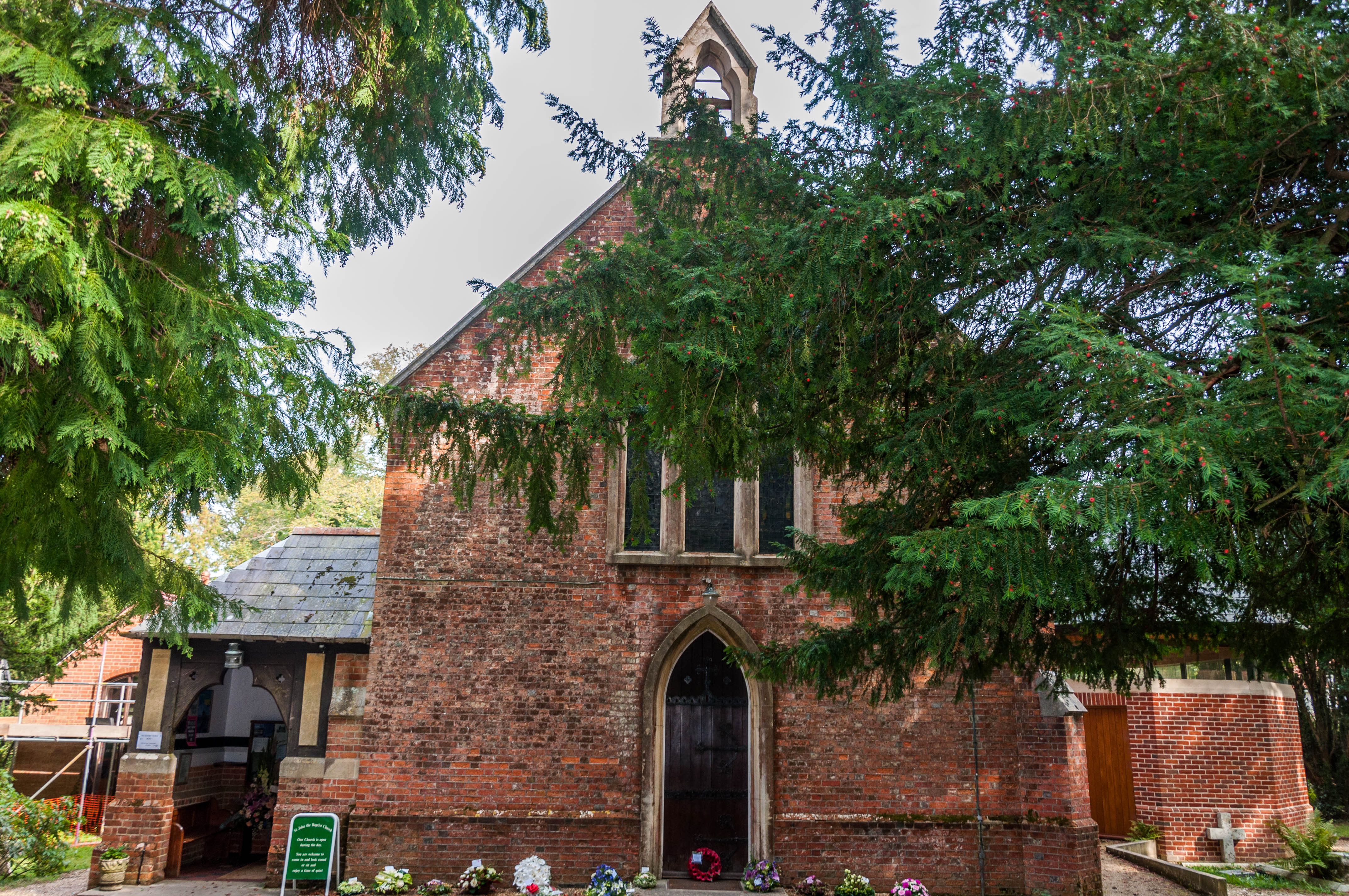
| Description | : | Burley was originally part of the Parish of Ringwood and it was only separated from it in 1838 when Sir John Lefevre, Lord of the Manor of Burley, gave part of his estate, called Barn Close, for the erection of the first Anglican Church in the village. The Church of St John the Baptist, Burley was consecrated by Charles Sumner, Bishop of Winchester, on 14th March 1839. It was a simple rectangular building, designed by Charles Underwood, comprising of what is now the nave and choir of the present church. The cost of about £1,000 was raised by local subscription... Read More |
frequently asked questions (FAQ):
-
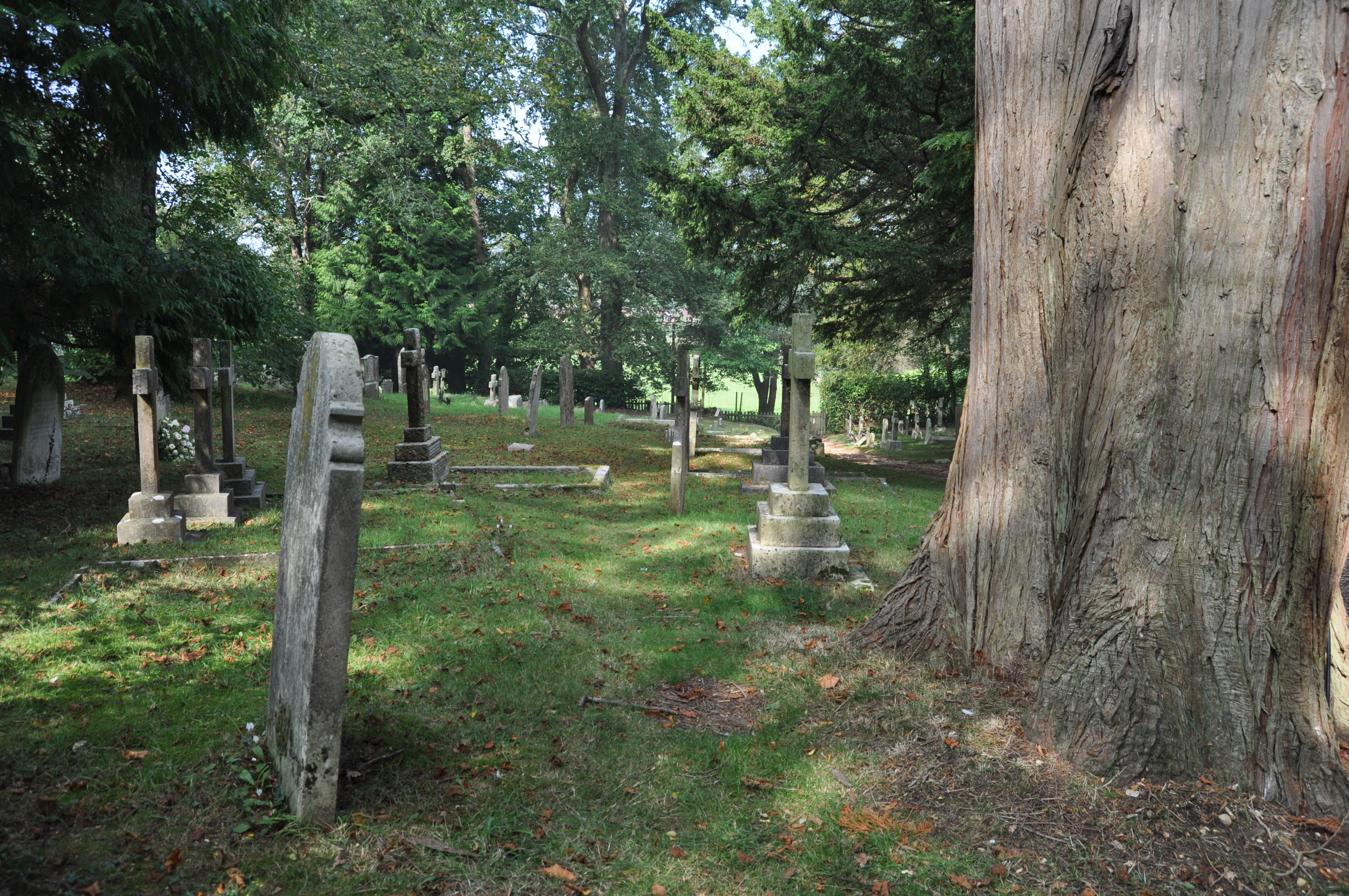
Where is St John the Baptist Churchyard?
St John the Baptist Churchyard is located at Church Lane, Burley, near Ringwood Burley, New Forest District ,Hampshire , BH24 4APEngland.
-
St John the Baptist Churchyard cemetery's updated grave count on graveviews.com?
1 memorials
-
Where are the coordinates of the St John the Baptist Churchyard?
Latitude: 50.8274700
Longitude: -1.6971500
Nearby Cemetories:
1. Burley Chapel Cemetery
Burley, New Forest District, England
Coordinate: 50.8313000, -1.6930000
2. All Saints Churchyard
Thorney Hill, New Forest District, England
Coordinate: 50.7966900, -1.7215500
3. Poulner Baptist Chapelyard
Ringwood, New Forest District, England
Coordinate: 50.8582700, -1.7590100
4. St Mary the Virgin Churchyard
Bransgore, New Forest District, England
Coordinate: 50.7766150, -1.7302940
5. Ringwood Cemetery
Ringwood, New Forest District, England
Coordinate: 50.8433300, -1.7821000
6. St Paul Churchyard
Bisterne, New Forest District, England
Coordinate: 50.8102700, -1.7900000
7. Sway Cemetery
Sway, New Forest District, England
Coordinate: 50.7930690, -1.6131930
8. St Peter and St Paul Churchyard
Ringwood, New Forest District, England
Coordinate: 50.8475390, -1.7950970
9. St Michael and All Angels Churchyard
Hinton, New Forest District, England
Coordinate: 50.7623700, -1.7002000
10. Hinton Park Woodland Burial Ground
Walkford, Christchurch Borough, England
Coordinate: 50.7572900, -1.6907090
11. St Luke Churchyard
Sway, New Forest District, England
Coordinate: 50.7839000, -1.6058800
12. Sopley Cemetery
Sopley, New Forest District, England
Coordinate: 50.7774250, -1.7847770
13. St Michael and All Angels Churchyard
Sopley, New Forest District, England
Coordinate: 50.7697400, -1.7794200
14. St Mary and All Saints Churchyard
Ellingham, New Forest District, England
Coordinate: 50.8742140, -1.7964340
15. New Milton Cemetery
New Milton, New Forest District, England
Coordinate: 50.7507690, -1.6650340
16. Christ Church Churchyard
Emery Down, New Forest District, England
Coordinate: 50.8742900, -1.5935600
17. St. Martin's Churchyard
Ibsley, New Forest District, England
Coordinate: 50.8835000, -1.7893100
18. St Mary Magdalene Churchyard
New Milton, New Forest District, England
Coordinate: 50.7481200, -1.6645700
19. St Nicholas Churchyard
Brockenhurst, New Forest District, England
Coordinate: 50.8146060, -1.5681240
20. Ashley Baptist Cemetery
New Milton, New Forest District, England
Coordinate: 50.7529200, -1.6336400
21. Milford Road Cemetery
New Milton, New Forest District, England
Coordinate: 50.7472700, -1.6502700
22. St Luke's Churchyard
Burton, Christchurch Borough, England
Coordinate: 50.7532240, -1.7650090
23. St. Mark Churchyard
Highcliffe, Christchurch Borough, England
Coordinate: 50.7402900, -1.7100050
24. St Michael and All Angels Churchyard
Lyndhurst, New Forest District, England
Coordinate: 50.8722520, -1.5778710