
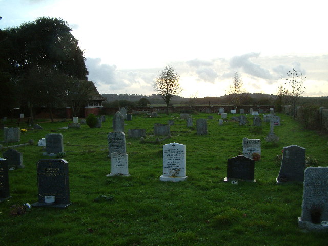
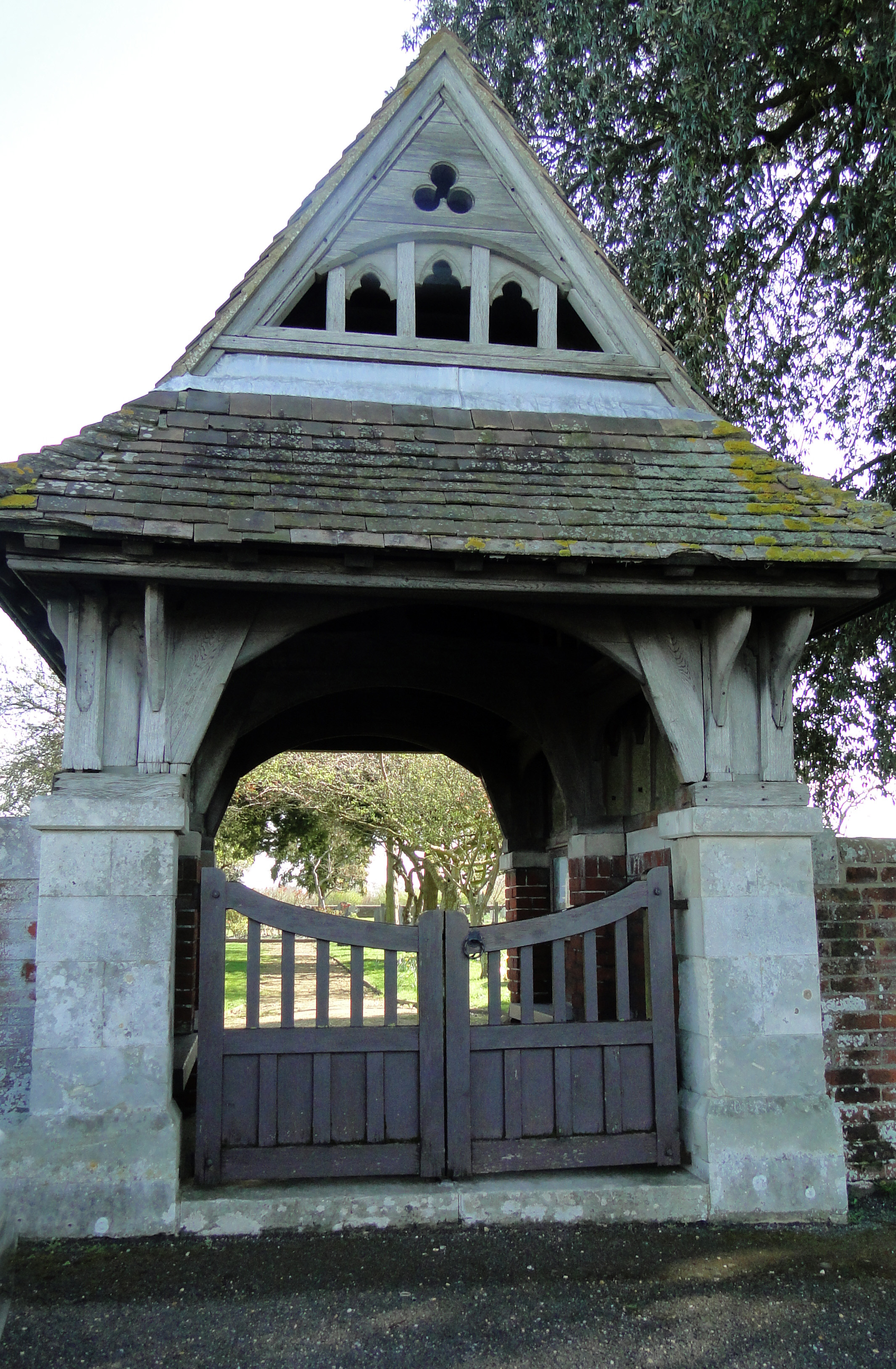
| Memorials | : | 0 |
| Location | : | Sopley, New Forest District, England |
| Coordinate | : | 50.7774250, -1.7847770 |
frequently asked questions (FAQ):
-
Where is Sopley Cemetery?
Sopley Cemetery is located at Ringwood Road Sopley, New Forest District ,Hampshire , BH23 7BEEngland.
-
Sopley Cemetery cemetery's updated grave count on graveviews.com?
0 memorials
-
Where are the coordinates of the Sopley Cemetery?
Latitude: 50.7774250
Longitude: -1.7847770
Nearby Cemetories:
1. St Michael and All Angels Churchyard
Sopley, New Forest District, England
Coordinate: 50.7697400, -1.7794200
2. St Luke's Churchyard
Burton, Christchurch Borough, England
Coordinate: 50.7532240, -1.7650090
3. St John the Evangelist Churchyard
Bournemouth Unitary Authority, England
Coordinate: 50.7564980, -1.8191740
4. St Paul Churchyard
Bisterne, New Forest District, England
Coordinate: 50.8102700, -1.7900000
5. St Mary the Virgin Churchyard
Bransgore, New Forest District, England
Coordinate: 50.7766150, -1.7302940
6. Christchurch Cemetery
Christchurch, Christchurch Borough, England
Coordinate: 50.7427800, -1.7940900
7. Christchurch Congregational Church Graveyards
Christchurch, Christchurch Borough, England
Coordinate: 50.7347966, -1.7762867
8. Throop United Reform Churchyard
Throop, Bournemouth Unitary Authority, England
Coordinate: 50.7630100, -1.8497100
9. All Saints Churchyard
Thorney Hill, New Forest District, England
Coordinate: 50.7966900, -1.7215500
10. Throop Jewish Cemetery
Bournemouth, Bournemouth Unitary Authority, England
Coordinate: 50.7600190, -1.8504310
11. Christchurch Priory Churchyard
Christchurch, Christchurch Borough, England
Coordinate: 50.7321550, -1.7742810
12. St James Churchyard
Bournemouth Unitary Authority, England
Coordinate: 50.7325437, -1.8208692
13. Pokesdown Congregational Church
Southbourne, Bournemouth Unitary Authority, England
Coordinate: 50.7308910, -1.8197670
14. East Cemetery
Bournemouth, Bournemouth Unitary Authority, England
Coordinate: 50.7318590, -1.8348290
15. St Michael and All Angels Churchyard
Hinton, New Forest District, England
Coordinate: 50.7623700, -1.7002000
16. Bournemouth Crematorium and North Cemetery
Bournemouth, Bournemouth Unitary Authority, England
Coordinate: 50.7455406, -1.8576280
17. All Saints Churchyard
West Parley, East Dorset District, England
Coordinate: 50.7710152, -1.8783700
18. St. Mark Churchyard
Highcliffe, Christchurch Borough, England
Coordinate: 50.7402900, -1.7100050
19. Hinton Park Woodland Burial Ground
Walkford, Christchurch Borough, England
Coordinate: 50.7572900, -1.6907090
20. St Clement's Churchyard
Boscombe, Bournemouth Unitary Authority, England
Coordinate: 50.7287580, -1.8496680
21. St John the Baptist Churchyard
Bournemouth, Bournemouth Unitary Authority, England
Coordinate: 50.7500600, -1.8778700
22. Ringwood Cemetery
Ringwood, New Forest District, England
Coordinate: 50.8433300, -1.7821000
23. West Moors Cemetery
West Moors, East Dorset District, England
Coordinate: 50.8158410, -1.8737500
24. St Peter and St Paul Churchyard
Ringwood, New Forest District, England
Coordinate: 50.8475390, -1.7950970