
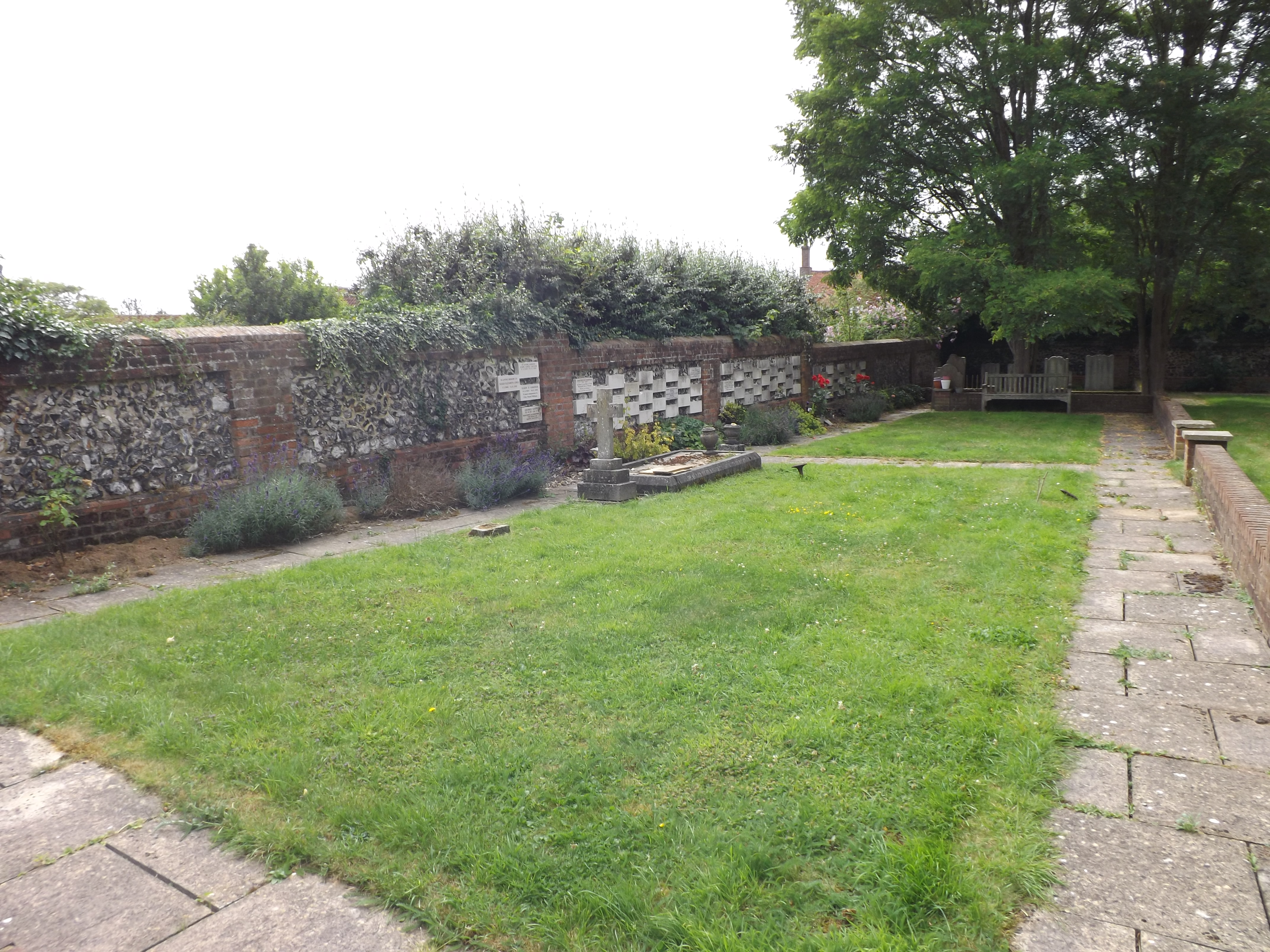
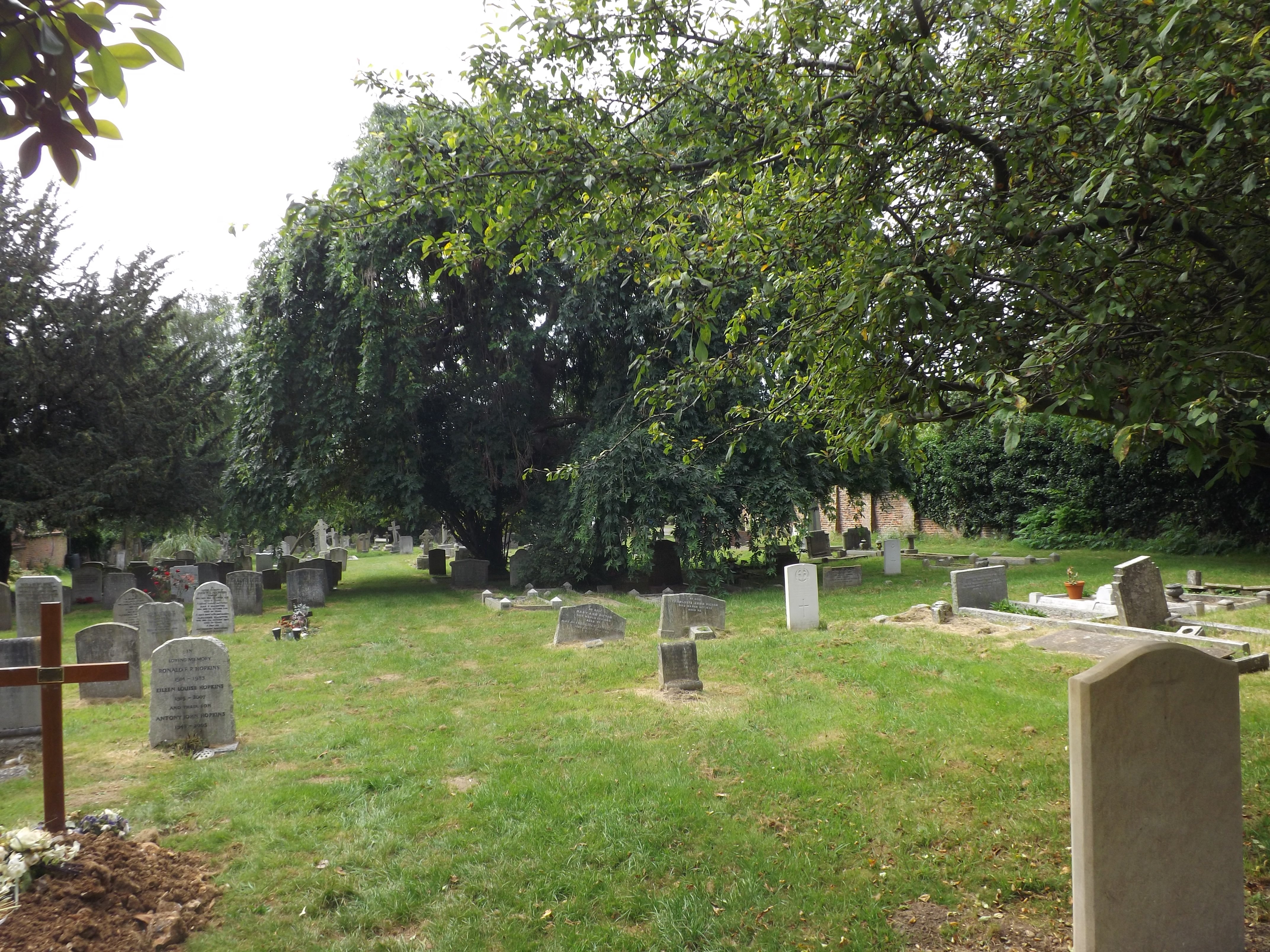
| Memorials | : | 11 |
| Location | : | Aldenham, Hertsmere Borough, England |
| Coordinate | : | 51.6734130, -0.3531610 |
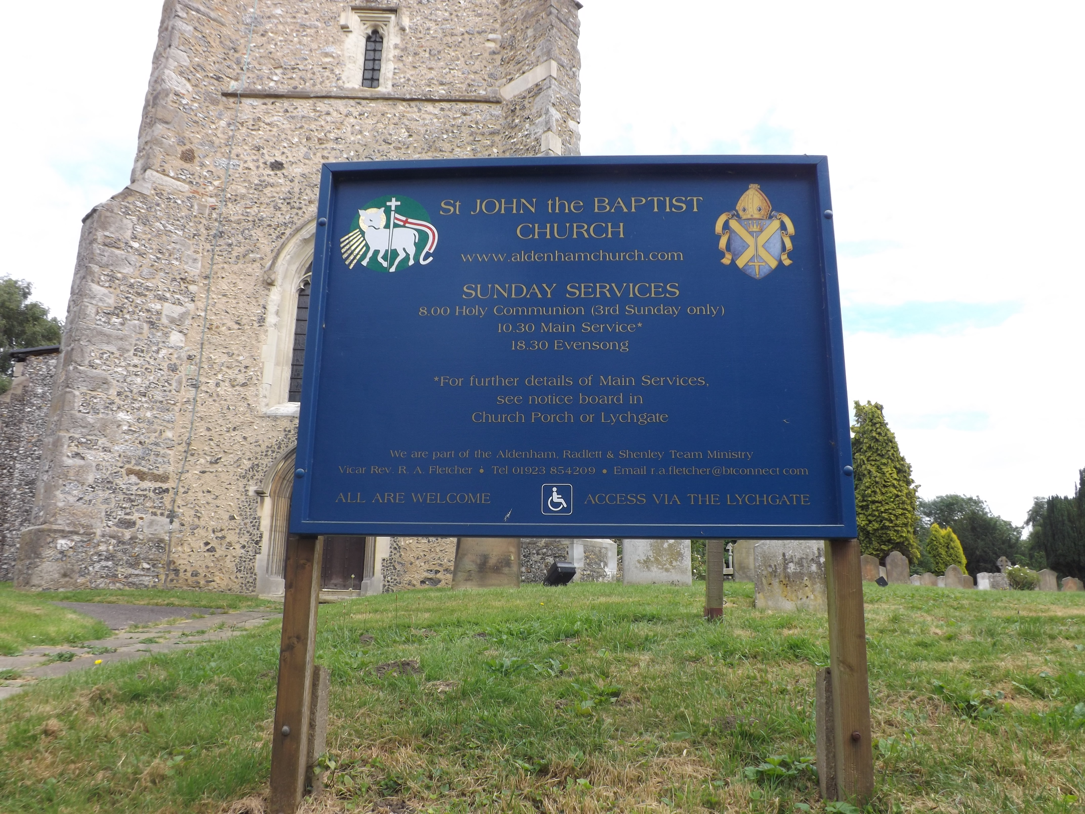
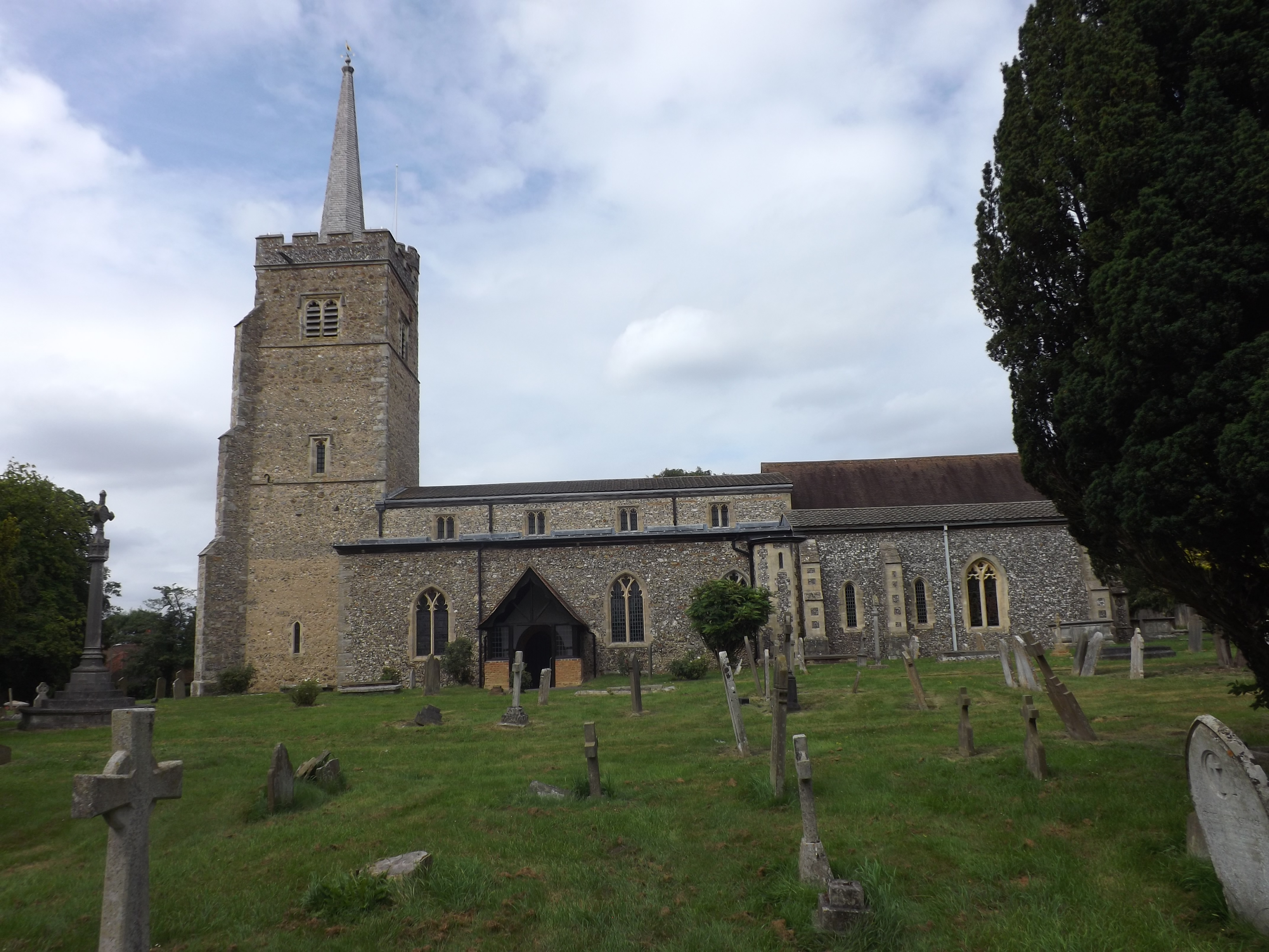
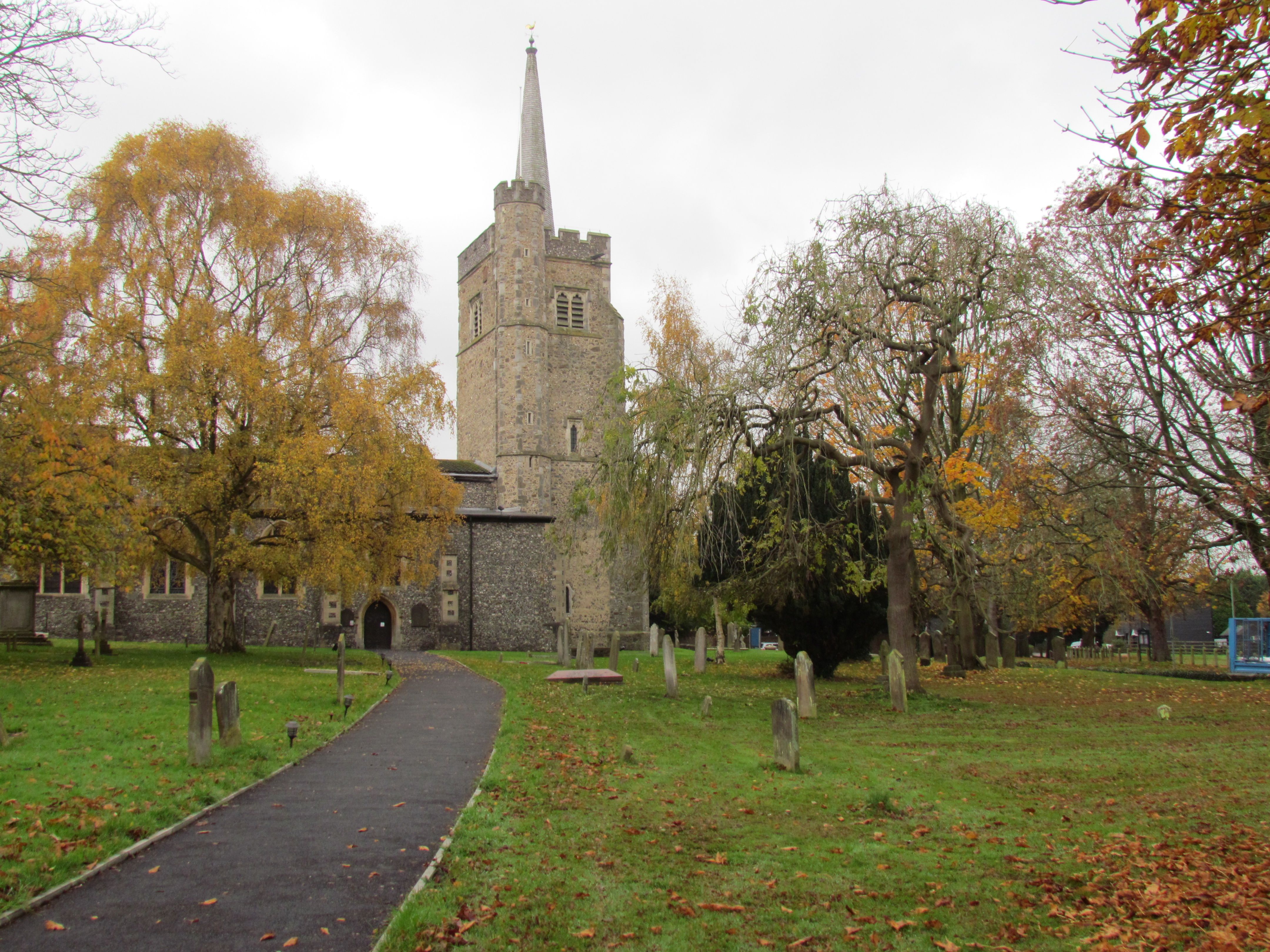
| Description | : | The Church of St John the Baptist in Aldenham is seven hundred years old and there is good reason to believe that an earlier Saxon church stood on the site. In 1940 enemy action damaged stained glass and removed the Hertfordshire Spike – the spire on the top of the tower. Restoration work was completed in 1951. |
frequently asked questions (FAQ):
-
Where is St. John the Baptist Churchyard?
St. John the Baptist Churchyard is located at Church Lane Aldenham, Hertsmere Borough ,Hertfordshire , WD25 8BEEngland.
-
St. John the Baptist Churchyard cemetery's updated grave count on graveviews.com?
11 memorials
-
Where are the coordinates of the St. John the Baptist Churchyard?
Latitude: 51.6734130
Longitude: -0.3531610
Nearby Cemetories:
1. Bushey Jewish Cemetery
Bushey, Watford Borough, England
Coordinate: 51.6580150, -0.3572810
2. Christ Church
Radlett, Hertsmere Borough, England
Coordinate: 51.6802460, -0.3163610
3. Sir David Yule Mausoleum
St Albans, St Albans District, England
Coordinate: 51.7024660, -0.3505190
4. Bushey United Reformed Congregational Churchyard
Bushey, Watford Borough, England
Coordinate: 51.6440000, -0.3611200
5. St. James' Churchyard
Bushey, Watford Borough, England
Coordinate: 51.6443700, -0.3679250
6. All Saints Churchyard
Watford Borough, England
Coordinate: 51.6954810, -0.3885560
7. St. Mary's Churchyard
Watford, Watford Borough, England
Coordinate: 51.6546240, -0.3958510
8. North Watford Cemetery
Watford, Watford Borough, England
Coordinate: 51.6832680, -0.4033640
9. West Herts Crematorium
Watford, Watford Borough, England
Coordinate: 51.7004195, -0.3847509
10. Vicarage Road Cemetery
Watford, Watford Borough, England
Coordinate: 51.6517850, -0.4008620
11. St. Nicholas' Churchyard
Elstree, Hertsmere Borough, England
Coordinate: 51.6450300, -0.2979000
12. Allum Lane Cemetery
Elstree, Hertsmere Borough, England
Coordinate: 51.6478270, -0.2939220
13. Holy Trinity Churchyard
St Albans, St Albans District, England
Coordinate: 51.7170354, -0.3334244
14. Hill End Hospital Cemetery
St Albans, St Albans District, England
Coordinate: 51.6982051, -0.2901128
15. East Lane Cemetery
Leavesden, Three Rivers District, England
Coordinate: 51.7084796, -0.4036263
16. Frogmore Holy Trinity Burial Ground
St Albans District, England
Coordinate: 51.7197598, -0.3365342
17. St Martin's Churchyard
Shenley, Hertsmere Borough, England
Coordinate: 51.6897547, -0.2794666
18. Carpenders Park Lawn Cemetery
Watford, Watford Borough, England
Coordinate: 51.6258920, -0.3707550
19. Saint Bololph's Churchyard
Shenley, Hertsmere Borough, England
Coordinate: 51.7030296, -0.2890460
20. Oxhey Chapel Burial Ground
Three Rivers District, England
Coordinate: 51.6279000, -0.3927500
21. All Saints Churchyard
Borehamwood, Hertsmere Borough, England
Coordinate: 51.6553200, -0.2744900
22. St Lawrence the Martyr Churchyard
Abbots Langley, Three Rivers District, England
Coordinate: 51.7077650, -0.4170030
23. St. Paul Churchyard
Kings Langley, Dacorum Borough, England
Coordinate: 51.6931700, -0.4383900
24. St John the Evangelist Churchyard
Stanmore, London Borough of Harrow, England
Coordinate: 51.6162240, -0.3155860