
| Memorials | : | 0 |
| Location | : | Leavesden, Three Rivers District, England |
| Website | : | www.leavesdenhospital.org/the-cemetery/ |
| Coordinate | : | 51.7084796, -0.4036263 |
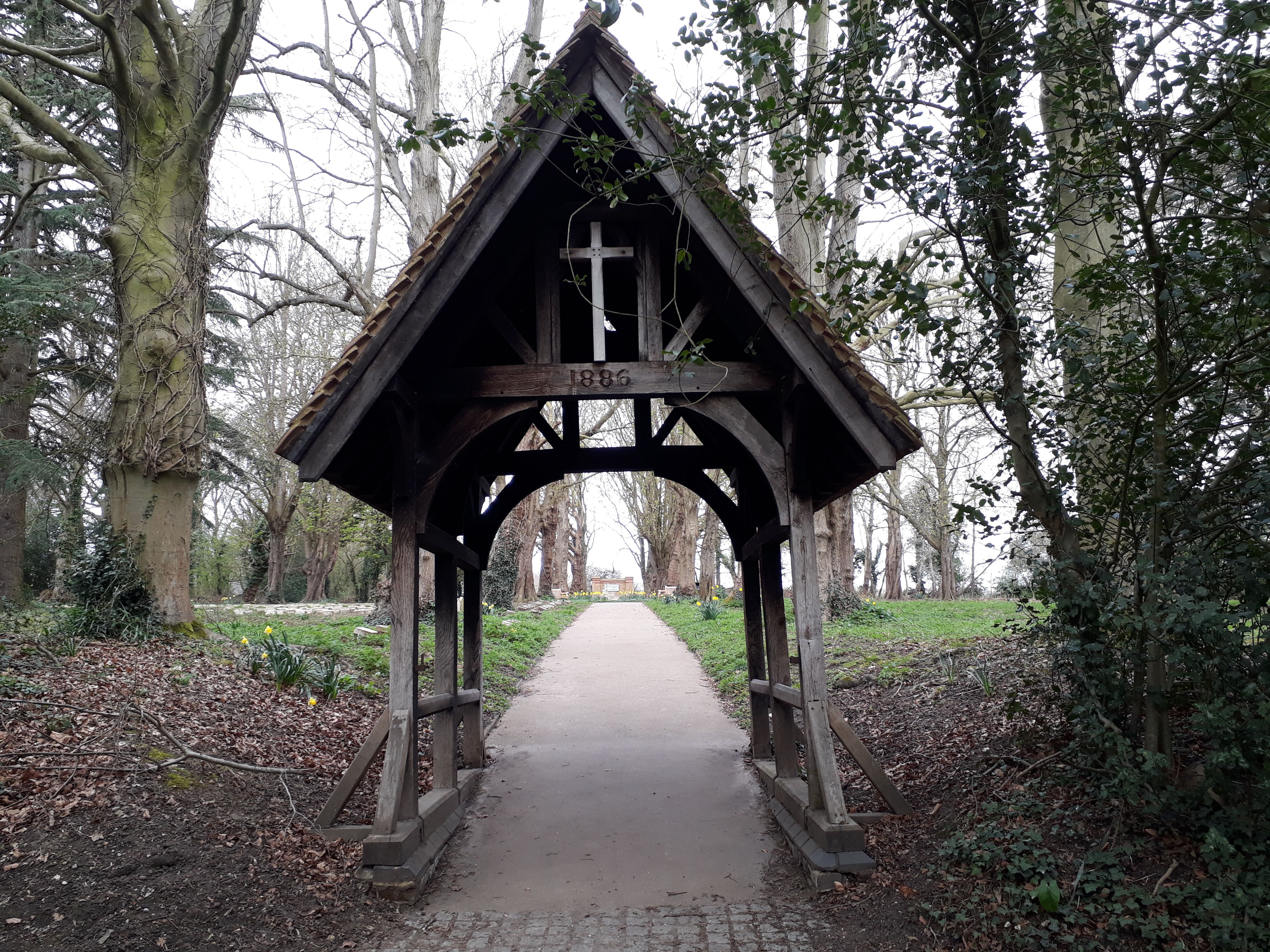
| Description | : | The second of two cemeteries associated with the nearby Leavesden Asylum; later known as Leavesden Hospital. It was consecrated in 1908 after the first cemetery had become full. The original cemetery lies on the other side of East Lane but is not accessible to the public. In 2020 a study was undertaken of the cemetery and a register of those people laid to rest there was made and is published on the linked website. |
frequently asked questions (FAQ):
-
Where is East Lane Cemetery?
East Lane Cemetery is located at East Lane, Abbotts Langley Leavesden, Three Rivers District ,Hertfordshire , WD5 0NYEngland.
-
East Lane Cemetery cemetery's updated grave count on graveviews.com?
0 memorials
-
Where are the coordinates of the East Lane Cemetery?
Latitude: 51.7084796
Longitude: -0.4036263

Nearby Cemetories:
1. St Lawrence the Martyr Churchyard
Abbots Langley, Three Rivers District, England
Coordinate: 51.7077650, -0.4170030
2. West Herts Crematorium
Watford, Watford Borough, England
Coordinate: 51.7004195, -0.3847509
3. All Saints Churchyard
Watford Borough, England
Coordinate: 51.6954810, -0.3885560
4. North Watford Cemetery
Watford, Watford Borough, England
Coordinate: 51.6832680, -0.4033640
5. St. Paul Churchyard
Kings Langley, Dacorum Borough, England
Coordinate: 51.6931700, -0.4383900
6. All Saints Churchyard
Kings Langley, Dacorum Borough, England
Coordinate: 51.7109030, -0.4479280
7. Sir David Yule Mausoleum
St Albans, St Albans District, England
Coordinate: 51.7024660, -0.3505190
8. Kings Langley Priory
Kings Langley, Dacorum Borough, England
Coordinate: 51.7130000, -0.4603000
9. Holy Trinity Churchyard
Leverstock Green, Dacorum Borough, England
Coordinate: 51.7466800, -0.4295770
10. Frogmore Holy Trinity Burial Ground
St Albans District, England
Coordinate: 51.7197598, -0.3365342
11. Holy Trinity Churchyard
St Albans, St Albans District, England
Coordinate: 51.7170354, -0.3334244
12. St Mary's Church Apsley End
Apsley, Dacorum Borough, England
Coordinate: 51.7347710, -0.4659480
13. St. John the Baptist Churchyard
Aldenham, Hertsmere Borough, England
Coordinate: 51.6734130, -0.3531610
14. St. Stephen's Churchyard
St Albans, St Albans District, England
Coordinate: 51.7417450, -0.3483370
15. Woodwells Cemetery
Hemel Hempstead, Dacorum Borough, England
Coordinate: 51.7576500, -0.4280300
16. St Michael’s Churchyard
St Albans, St Albans District, England
Coordinate: 51.7529540, -0.3560640
17. St. Mary's Churchyard
Watford, Watford Borough, England
Coordinate: 51.6546240, -0.3958510
18. Saint Alban's Cathedral
St Albans, St Albans District, England
Coordinate: 51.7504425, -0.3423680
19. Romeland Hill Garden of Rest
St Albans, St Albans District, England
Coordinate: 51.7514540, -0.3438830
20. Vicarage Road Cemetery
Watford, Watford Borough, England
Coordinate: 51.6517850, -0.4008620
21. Spicer Street Chapel Burial Ground
St Albans, St Albans District, England
Coordinate: 51.7523288, -0.3423231
22. Bushey Jewish Cemetery
Bushey, Watford Borough, England
Coordinate: 51.6580150, -0.3572810
23. Hemel Hempstead War Memorial
Hemel Hempstead, Dacorum Borough, England
Coordinate: 51.7444960, -0.4772990
24. St John the Evangelist
Boxmoor, Dacorum Borough, England
Coordinate: 51.7444530, -0.4782000