
| Memorials | : | 0 |
| Location | : | Bridgetown, South Hams District, England |
| Phone | : | 01803 865615 |
| Coordinate | : | 50.4295400, -3.6789000 |
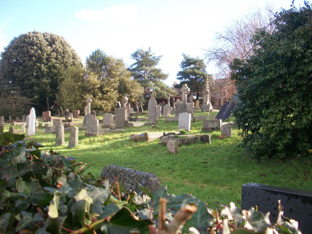
| Description | : | St John's, Bridgetown represents a marked and complementary contrast to St Mary's in that, although there is a weekly sacramental service, there is no choir, and services are less formal - although undertaken in compliance with Common Worship (1). All the furniture within the worship area of the church is moveable, with the exception of the organ, so that the space lends itself readily to the introduction of different forms of worship, such as Taizé services, more intimate meditations ‘in the round', or those themed with support from multi-media presentations or backdrops. The church is well aware of its important... Read More |
frequently asked questions (FAQ):
-
Where is St. John the Evangelist?
St. John the Evangelist is located at Bridgetown, South Hams District ,Devon , TQ9 5England.
-
St. John the Evangelist cemetery's updated grave count on graveviews.com?
0 memorials
-
Where are the coordinates of the St. John the Evangelist?
Latitude: 50.4295400
Longitude: -3.6789000
Nearby Cemetories:
1. St. Mary's Churchyard
Totnes, South Hams District, England
Coordinate: 50.4318190, -3.6877720
2. Totnes Priory
Totnes, South Hams District, England
Coordinate: 50.4318610, -3.6878700
3. St. Mary the Virgin Churchyard
Berry Pomeroy, South Hams District, England
Coordinate: 50.4368790, -3.6505430
4. St John the Baptist Church
Littlehempston, South Hams District, England
Coordinate: 50.4515000, -3.6741000
5. St David's Churchyard
Ashprington, South Hams District, England
Coordinate: 50.4023200, -3.6637600
6. St. Mary's Churchyard
Dartington, South Hams District, England
Coordinate: 50.4511400, -3.7123700
7. St Andrew Churchyard
Harberton, South Hams District, England
Coordinate: 50.4149440, -3.7209660
8. St Peter Churchyard
Harbertonford, South Hams District, England
Coordinate: 50.3931400, -3.7127600
9. Cornworthy Parish Chapel Church
Cornworthy, South Hams District, England
Coordinate: 50.3880000, -3.6583000
10. St Mary & St Gabriel Churchyard
Stoke Gabriel, South Hams District, England
Coordinate: 50.4027900, -3.6207100
11. St Mary the Virgin Churchyard
Collaton St Mary, Torbay Unitary Authority, England
Coordinate: 50.4304300, -3.6005090
12. St. John the Baptist Churchyard
Marldon, South Hams District, England
Coordinate: 50.4608700, -3.5984100
13. St. Andrew Churchyard
Ipplepen, Teignbridge District, England
Coordinate: 50.4872610, -3.6443980
14. Paignton Cemetery
Paignton, Torbay Unitary Authority, England
Coordinate: 50.4360560, -3.5821130
15. St Matthew's Churchyard
Landscove, South Hams District, England
Coordinate: 50.4842200, -3.7284000
16. Bidwell Woodland Natural Burial Ground
Rattery, South Hams District, England
Coordinate: 50.4418160, -3.7799990
17. St. John The Baptist Churchyard
Paignton, Torbay Unitary Authority, England
Coordinate: 50.4368000, -3.5693300
18. St George the Martyr Churchyard
Dean Prior, South Hams District, England
Coordinate: 50.4578890, -3.7902140
19. St Mary the Virgin Churchyard
Denbury, Teignbridge District, England
Coordinate: 50.5075930, -3.6602590
20. St Mary's Churchyard
Diptford, South Hams District, England
Coordinate: 50.3966500, -3.7917300
21. Holy Trinity Churchyard
Buckfastleigh, Teignbridge District, England
Coordinate: 50.4852300, -3.7755900
22. St. James's Churchyard
South Brent, South Hams District, England
Coordinate: 50.4112991, -3.8121303
23. St Mary the Virgin Churchyard
Abbotskerswell, Teignbridge District, England
Coordinate: 50.5073360, -3.6147140
24. Buckfast Abbey
Buckfastleigh, Teignbridge District, England
Coordinate: 50.4917800, -3.7767600