
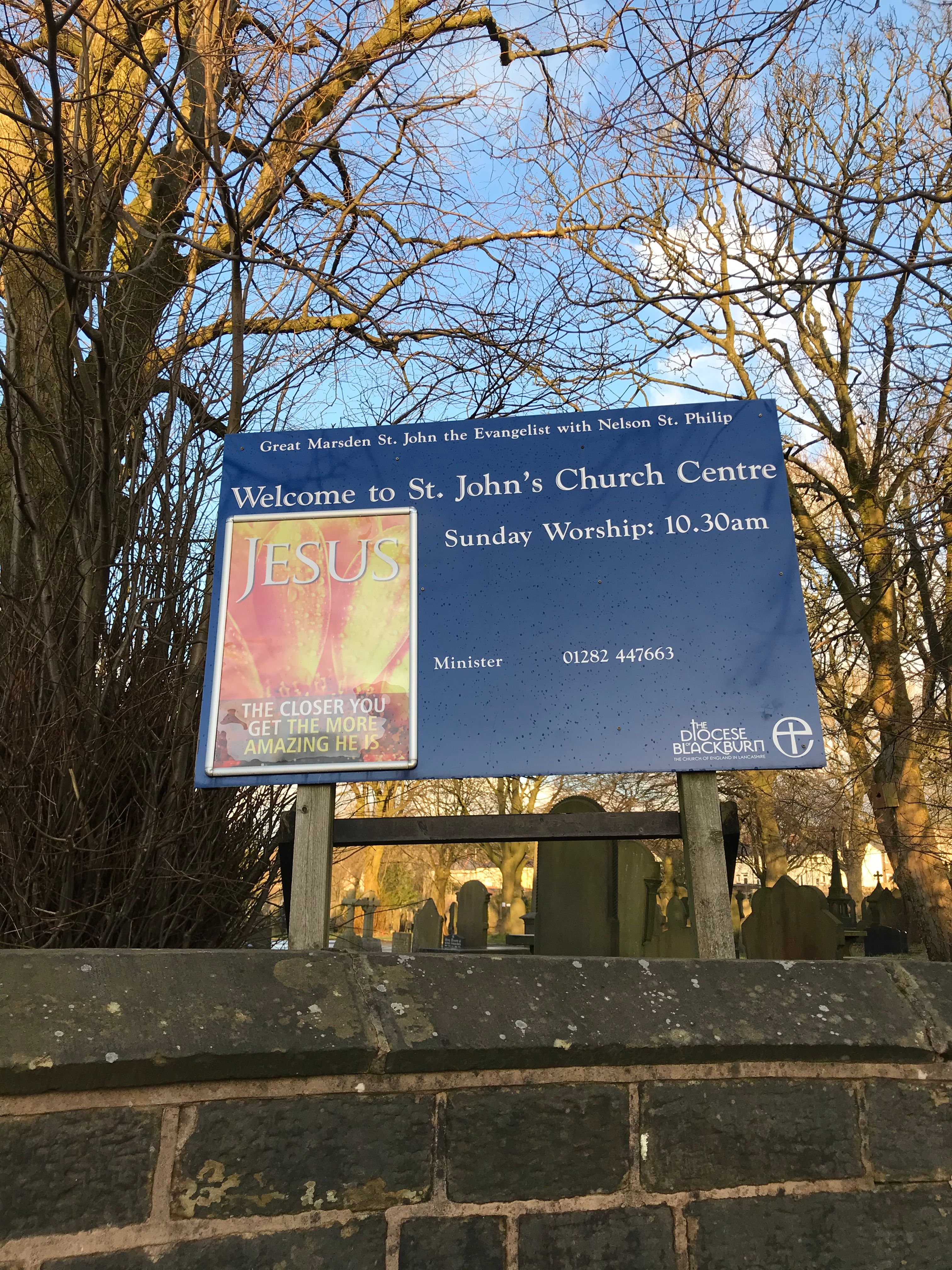
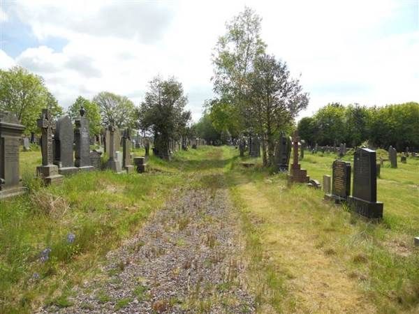
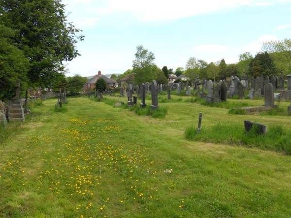
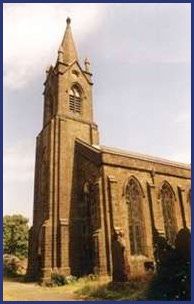
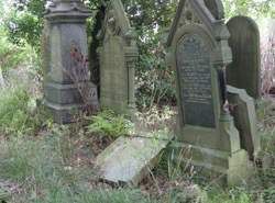
| Memorials | : | 0 |
| Location | : | Nelson, Pendle Borough, England |
| Coordinate | : | 53.8367000, -2.1977200 |
frequently asked questions (FAQ):
-
Where is St. John the Evangelist Churchyard?
St. John the Evangelist Churchyard is located at Nelson, Pendle Borough ,Lancashire ,England.
-
St. John the Evangelist Churchyard cemetery's updated grave count on graveviews.com?
0 memorials
-
Where are the coordinates of the St. John the Evangelist Churchyard?
Latitude: 53.8367000
Longitude: -2.1977200
Nearby Cemetories:
1. Nelson Cemetery
Nelson, Pendle Borough, England
Coordinate: 53.8420330, -2.1972230
2. St. Paul's Churchyard
Nelson, Pendle Borough, England
Coordinate: 53.8289250, -2.2157520
3. Barrowford Cemetery
Nelson, Pendle Borough, England
Coordinate: 53.8521100, -2.2130300
4. Marsden Friends Burial Ground
Marsden, Metropolitan Borough of Kirklees, England
Coordinate: 53.8241910, -2.2197410
5. St. Thomas Churchyard
Barrowford, Pendle Borough, England
Coordinate: 53.8513900, -2.2196600
6. Hill Lane Baptist Church Churchyard
Briercliffe, Burnley Borough, England
Coordinate: 53.8161467, -2.1875368
7. Haggate Baptist Church Burial Ground
Burnley Borough, England
Coordinate: 53.8145048, -2.1960725
8. John Ecroyd's Orchard
Lancaster, City of Lancaster, England
Coordinate: 53.8201990, -2.1697920
9. All Souls Cemetery
Barrowford, Pendle Borough, England
Coordinate: 53.8462900, -2.2355600
10. West Street Inghamite Chapel Chapelyard
Colne, Pendle Borough, England
Coordinate: 53.8555930, -2.1672140
11. St. Bartholomew Churchyard
Colne, Pendle Borough, England
Coordinate: 53.8570600, -2.1700470
12. St. James' Churchyard
Briercliffe, Burnley Borough, England
Coordinate: 53.8107700, -2.2031800
13. Wheatley Lane Inghamite Church Churchyard
Wheatley Lane, Pendle Borough, England
Coordinate: 53.8412800, -2.2457100
14. Colne Cemetery
Colne, Pendle Borough, England
Coordinate: 53.8577420, -2.1585350
15. Wheatley Lane Methodist Churchyard
Fence, Pendle Borough, England
Coordinate: 53.8341457, -2.2596202
16. St. Mary the Virgin Churchyard
Trawden Forest, Pendle Borough, England
Coordinate: 53.8431010, -2.1366050
17. Trawden Wesley Chapel Graveyard
Trawden Forest, Pendle Borough, England
Coordinate: 53.8459885, -2.1355791
18. New Lane Inghamite Cemetery
Winewall, Pendle Borough, England
Coordinate: 53.8548000, -2.1367150
19. St. Michael's Churchyard
Foulridge, Pendle Borough, England
Coordinate: 53.8734569, -2.1693508
20. Christ Church Churchyard
Colne, Pendle Borough, England
Coordinate: 53.8602110, -2.1415670
21. St. Anne Churchyard
Fence, Pendle Borough, England
Coordinate: 53.8304372, -2.2679552
22. Friends Burial Ground
Foulridge, Pendle Borough, England
Coordinate: 53.8769360, -2.1669040
23. St. Mary's Churchyard
Newchurch in Pendle, Pendle Borough, England
Coordinate: 53.8504181, -2.2706807
24. Ebenezer Baptist Chapel Chapelyard
Burnley, Burnley Borough, England
Coordinate: 53.7975120, -2.2397260