
| Memorials | : | 1081 |
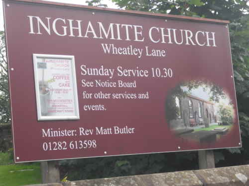
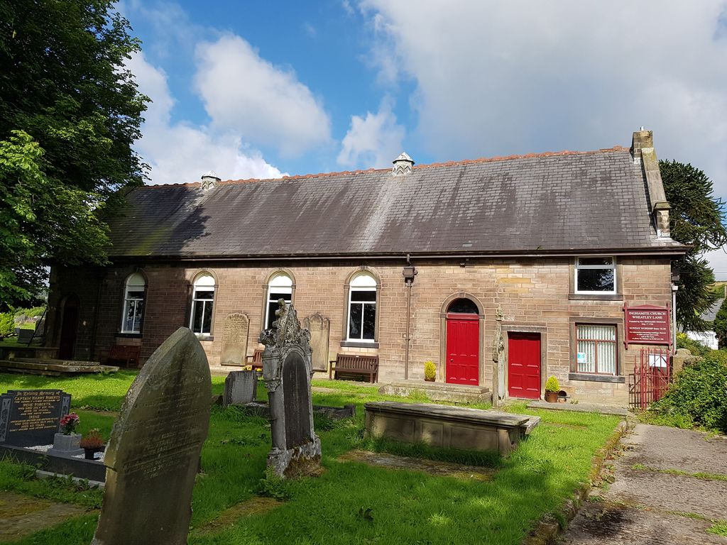
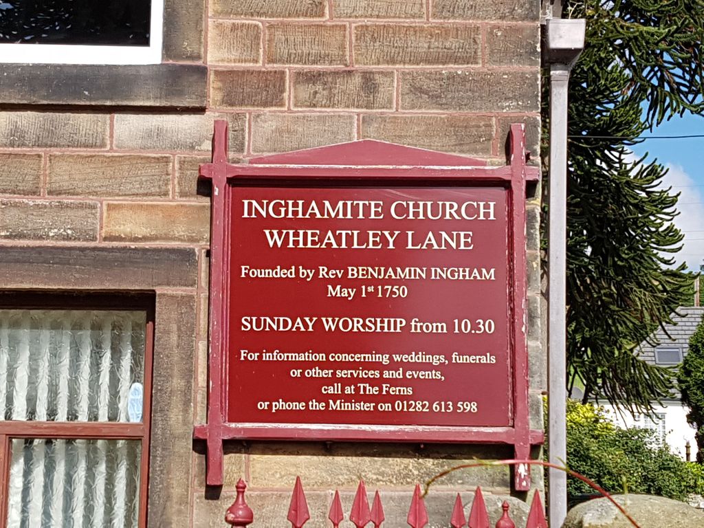
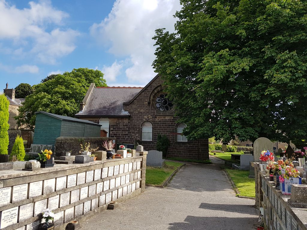
| Location | : | Wheatley Lane, Pendle Borough, England |
| Website | : | www.inghamitechurch.org/Groups/334282/Churchyard.spx |
| Coordinate | : | 53.8412800, -2.2457100 |
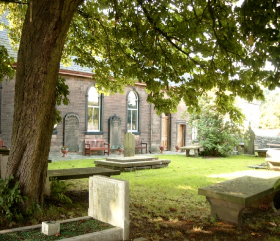
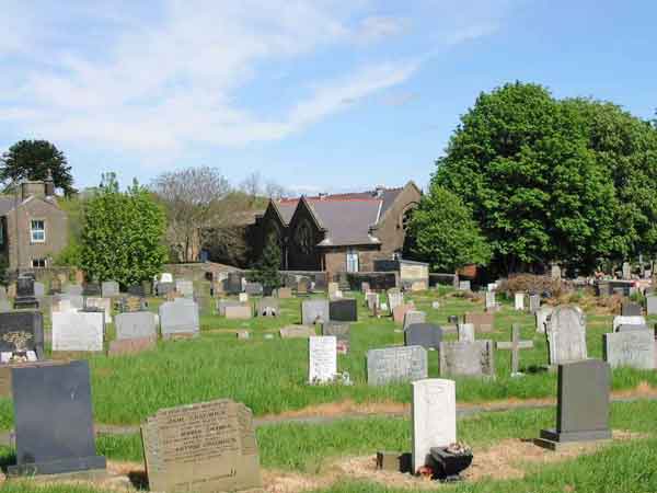
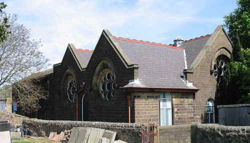
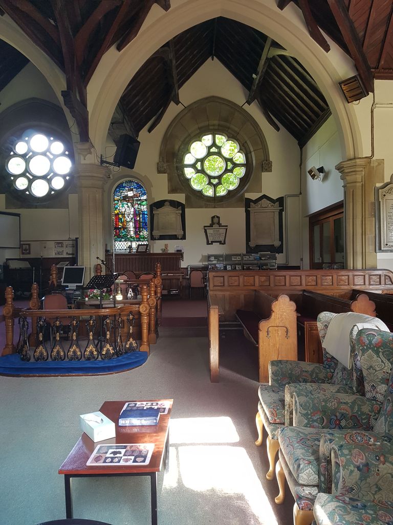
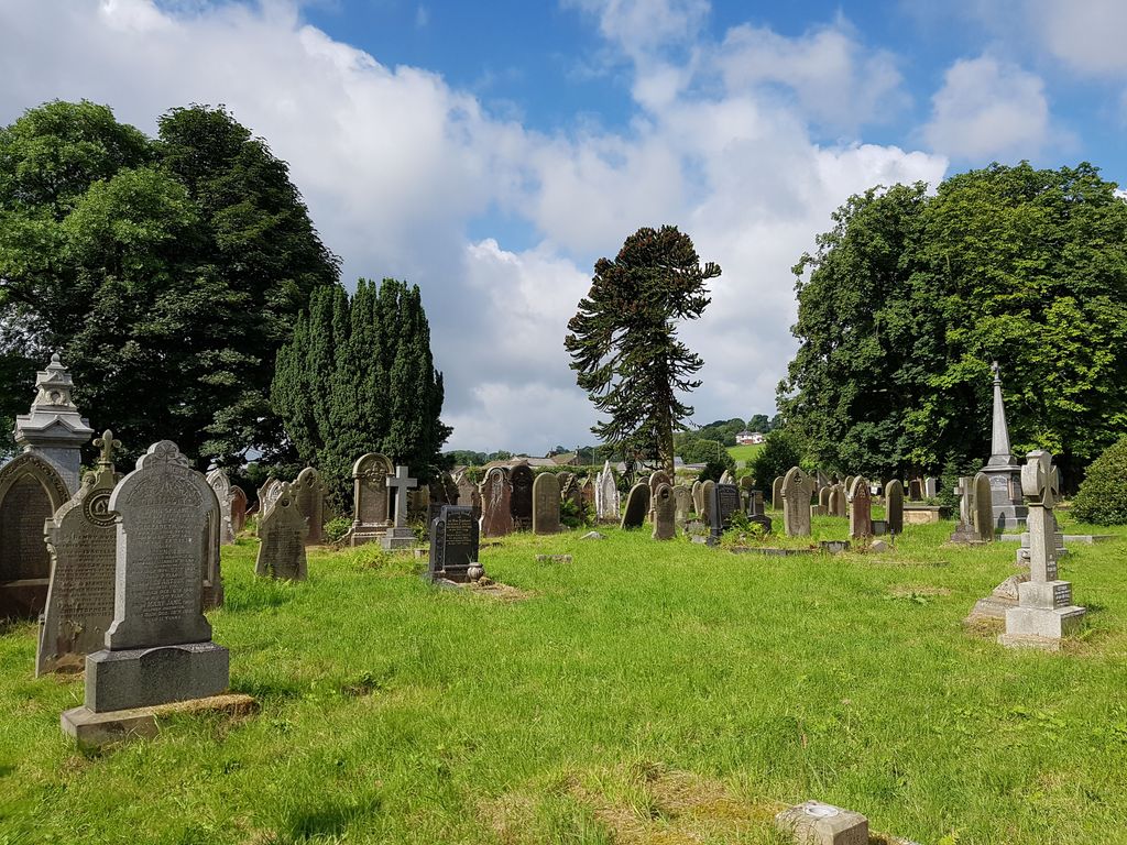
| Description | : | Wheatley Lane was the first church built by Ingham and his followers and is the only one remaining. The foundation stone was laid on 1st May 1750 and Benjamin preached his first sermon on Christmas Day 1750 in a church of his own. |
frequently asked questions (FAQ):
-
Where is Wheatley Lane Inghamite Church Churchyard?
Wheatley Lane Inghamite Church Churchyard is located at Wheatley Lane, Pendle Borough ,Lancashire , BB12 9QGEngland.
-
Wheatley Lane Inghamite Church Churchyard cemetery's updated grave count on graveviews.com?
1038 memorials
-
Where are the coordinates of the Wheatley Lane Inghamite Church Churchyard?
Latitude: 53.8412800
Longitude: -2.2457100

Nearby Cemetories:
1. All Souls Cemetery
Barrowford, Pendle Borough, England
Coordinate: 53.8462900, -2.2355600
2. Wheatley Lane Methodist Churchyard
Fence, Pendle Borough, England
Coordinate: 53.8341457, -2.2596202
3. St. Anne Churchyard
Fence, Pendle Borough, England
Coordinate: 53.8304372, -2.2679552
4. St. Mary's Churchyard
Newchurch in Pendle, Pendle Borough, England
Coordinate: 53.8504181, -2.2706807
5. St. Thomas Churchyard
Barrowford, Pendle Borough, England
Coordinate: 53.8513900, -2.2196600
6. St. Paul's Churchyard
Nelson, Pendle Borough, England
Coordinate: 53.8289250, -2.2157520
7. Barrowford Cemetery
Nelson, Pendle Borough, England
Coordinate: 53.8521100, -2.2130300
8. Marsden Friends Burial Ground
Marsden, Metropolitan Borough of Kirklees, England
Coordinate: 53.8241910, -2.2197410
9. Nelson Cemetery
Nelson, Pendle Borough, England
Coordinate: 53.8420330, -2.1972230
10. St. John the Evangelist Churchyard
Nelson, Pendle Borough, England
Coordinate: 53.8367000, -2.1977200
11. St John Churchyard
Higham, Pendle Borough, England
Coordinate: 53.8251420, -2.2898120
12. St. James' Churchyard
Briercliffe, Burnley Borough, England
Coordinate: 53.8107700, -2.2031800
13. Haggate Baptist Church Burial Ground
Burnley Borough, England
Coordinate: 53.8145048, -2.1960725
14. Hill Lane Baptist Church Churchyard
Briercliffe, Burnley Borough, England
Coordinate: 53.8161467, -2.1875368
15. Ebenezer Baptist Chapel Chapelyard
Burnley, Burnley Borough, England
Coordinate: 53.7975120, -2.2397260
16. St. Bartholomew Churchyard
Colne, Pendle Borough, England
Coordinate: 53.8570600, -2.1700470
17. West Street Inghamite Chapel Chapelyard
Colne, Pendle Borough, England
Coordinate: 53.8555930, -2.1672140
18. St. Peter's Churchyard
Burnley, Burnley Borough, England
Coordinate: 53.7924450, -2.2394890
19. John Ecroyd's Orchard
Lancaster, City of Lancaster, England
Coordinate: 53.8201990, -2.1697920
20. Twiston Quaker Burial Ground
Clitheroe, Ribble Valley Borough, England
Coordinate: 53.8854210, -2.2838840
21. St. James' Churchyard
Burnley, Burnley Borough, England
Coordinate: 53.7905590, -2.2458280
22. All Saints Churchyard
Habergham Eaves, Burnley Borough, England
Coordinate: 53.7971060, -2.2913770
23. Holy Trinity Churchyard
Burnley, Burnley Borough, England
Coordinate: 53.7898290, -2.2574200
24. Saint Nicholas Parish Churchyard
Sabden, Ribble Valley Borough, England
Coordinate: 53.8346503, -2.3332764