
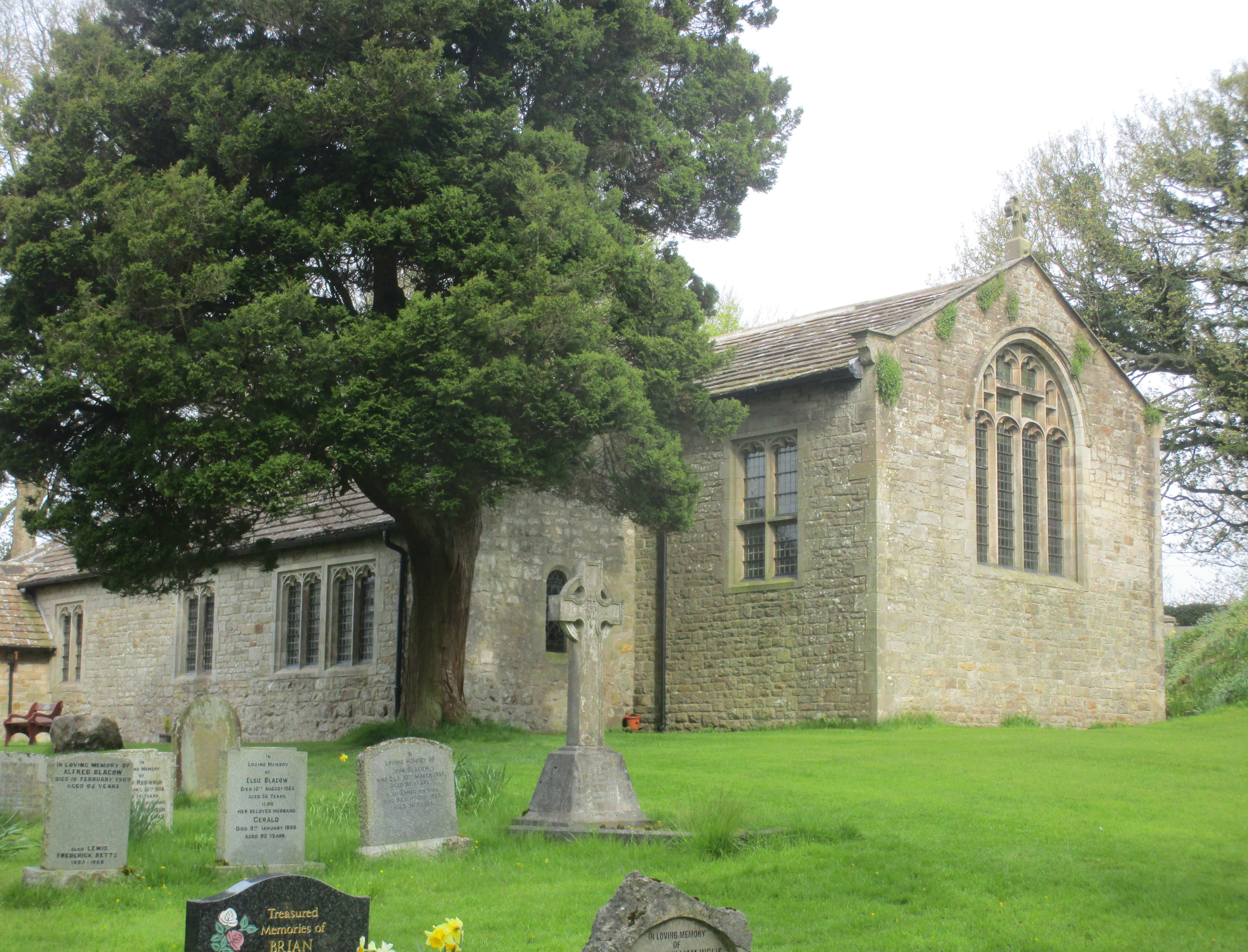
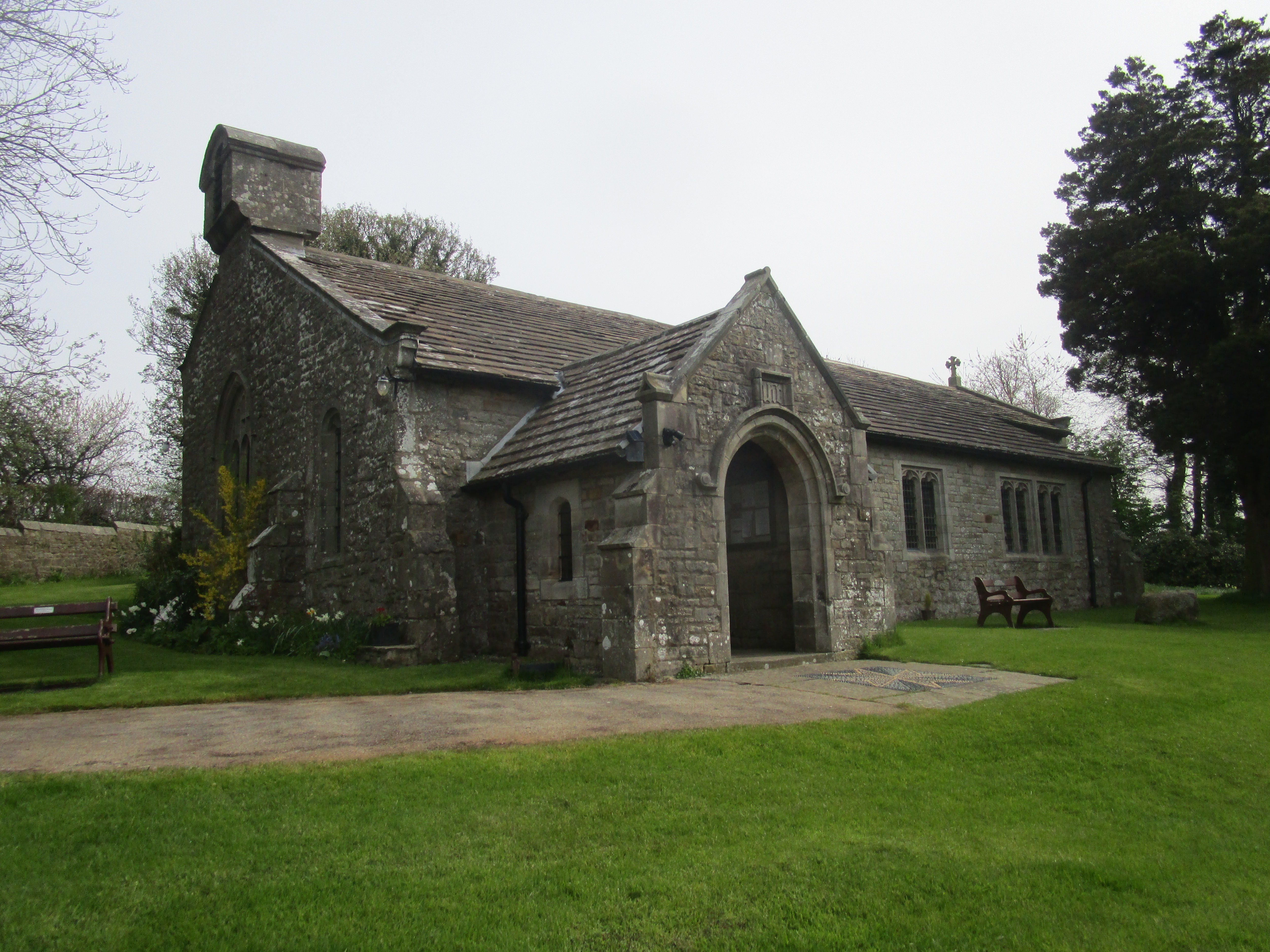
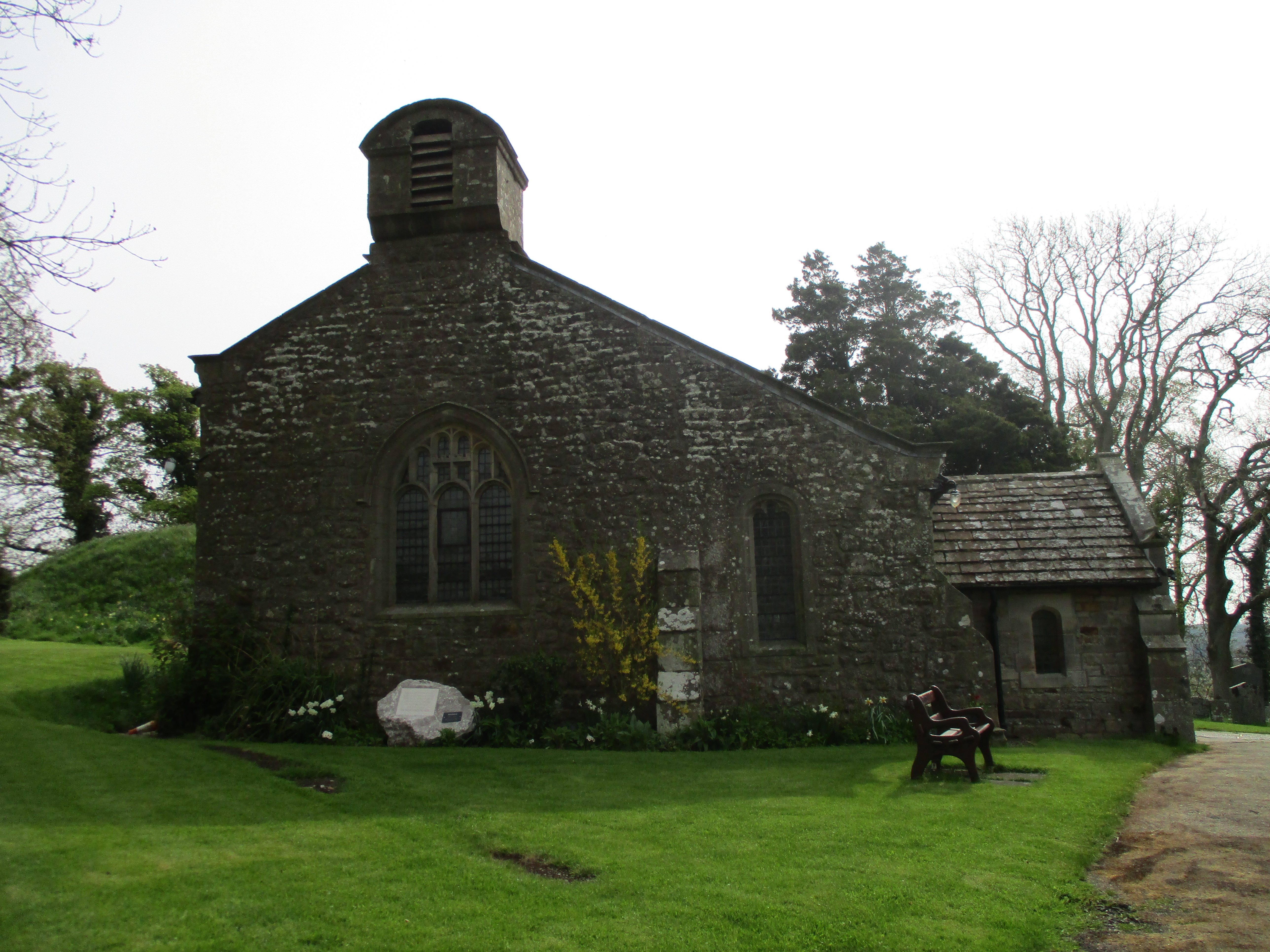
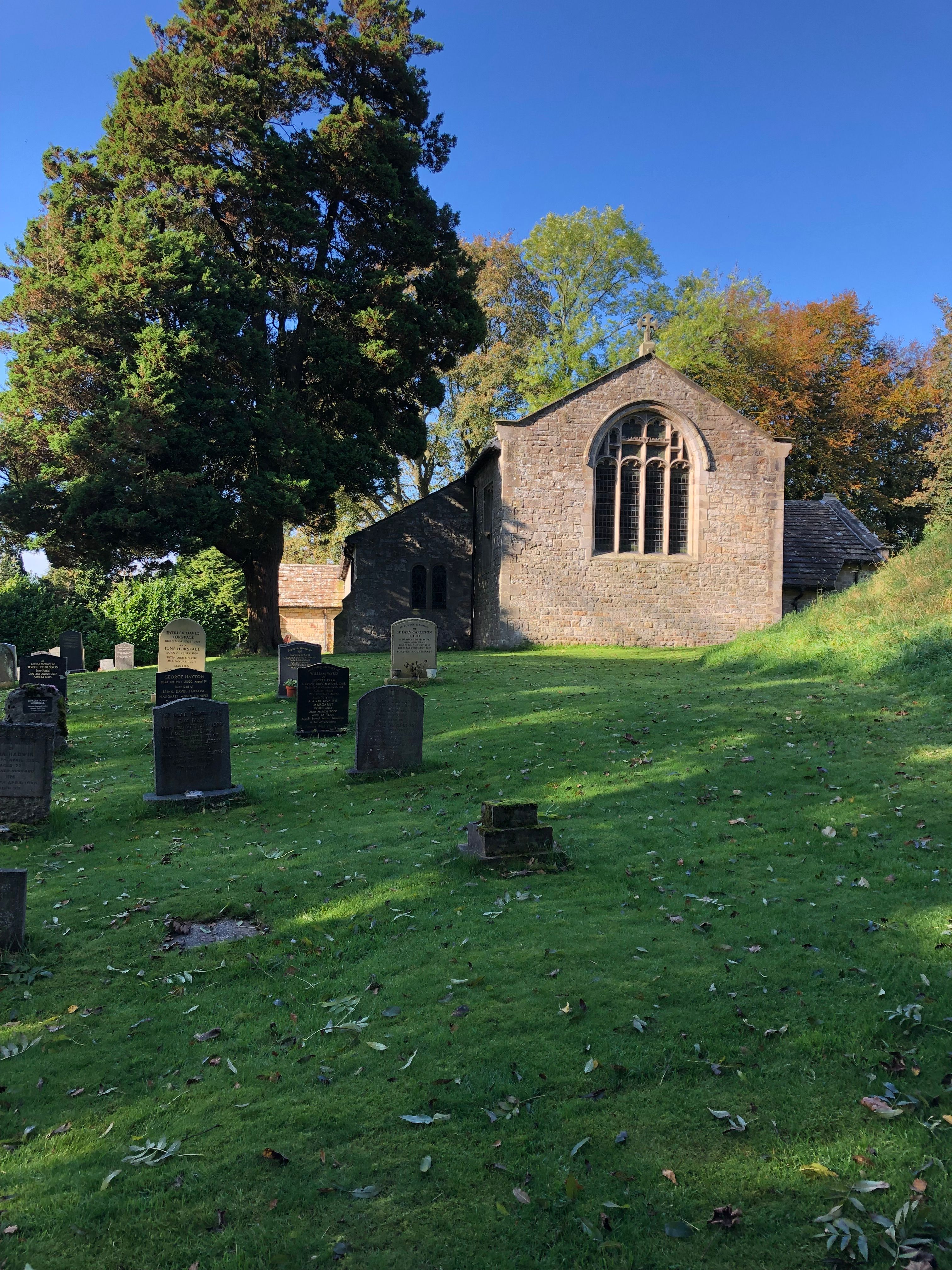
| Memorials | : | 70 |
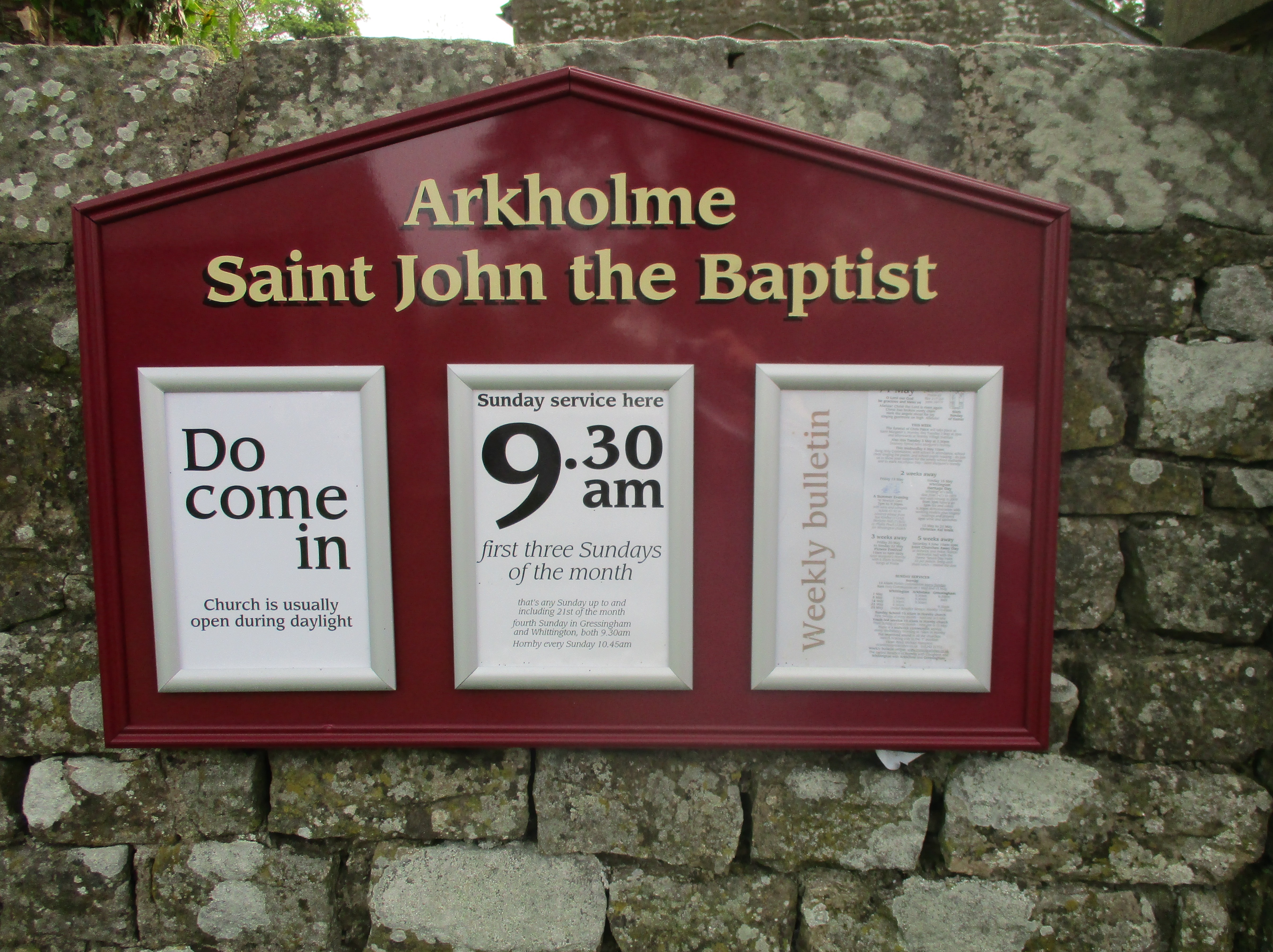
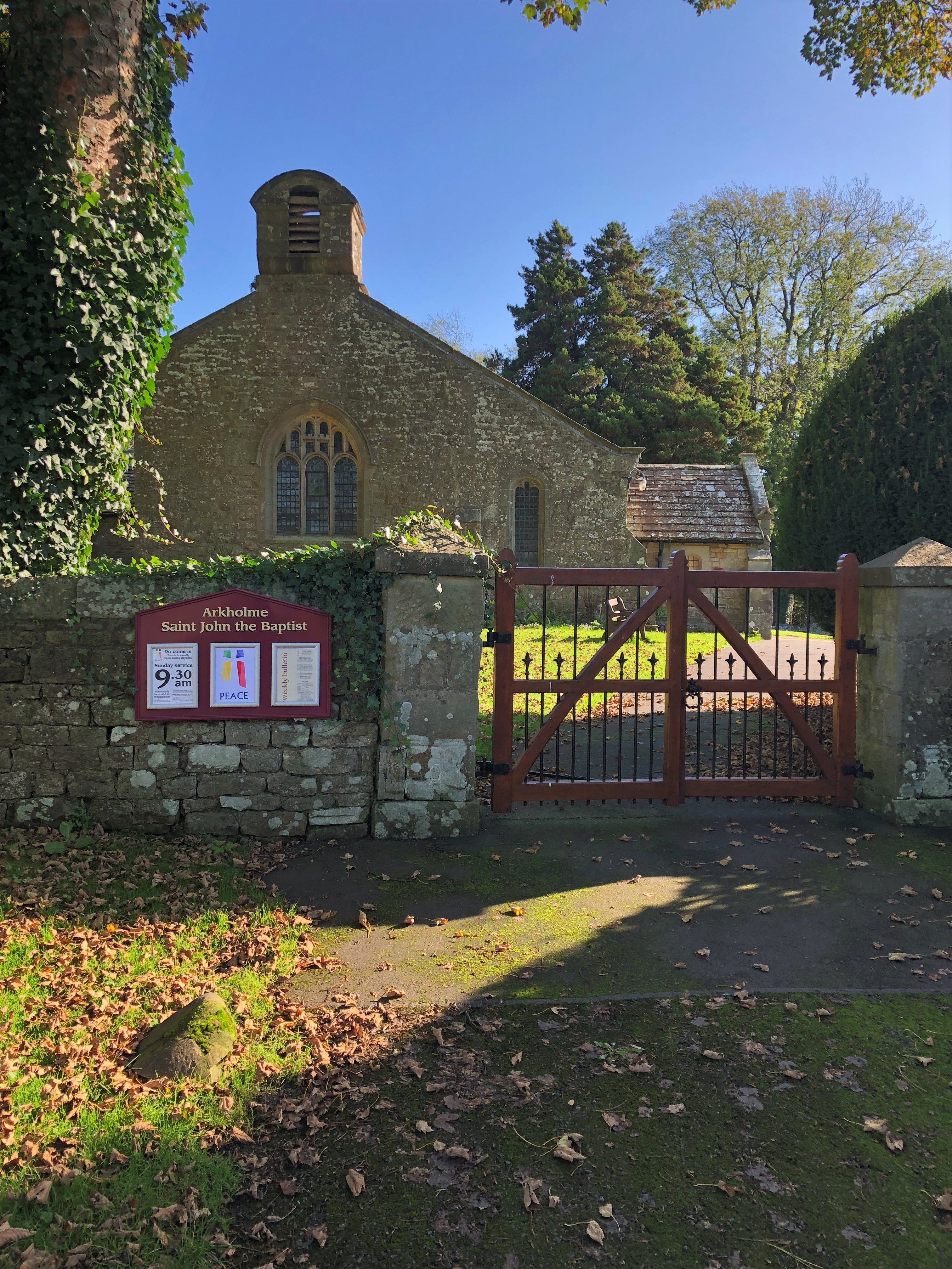
| Location | : | Arkholme, City of Lancaster, England |
| Coordinate | : | 54.1406220, -2.6307800 |
frequently asked questions (FAQ):
-
Where is St John The Baptist Churchyard?
St John The Baptist Churchyard is located at Arkholme, City of Lancaster ,Lancashire ,England.
-
St John The Baptist Churchyard cemetery's updated grave count on graveviews.com?
70 memorials
-
Where are the coordinates of the St John The Baptist Churchyard?
Latitude: 54.1406220
Longitude: -2.6307800
Nearby Cemetories:
1. St Wilfrids Churchyard
Melling, City of Lancaster, England
Coordinate: 54.1346900, -2.6165100
2. St. John The Evangelist Churchyard
Gressingham, City of Lancaster, England
Coordinate: 54.1233910, -2.6557800
3. St James the Less Churchyard
Tatham, City of Lancaster, England
Coordinate: 54.1190100, -2.6043200
4. St. Wilfred Priory
Hornby, City of Lancaster, England
Coordinate: 54.1143640, -2.6405490
5. St. Margaret's Churchyard
Hornby, City of Lancaster, England
Coordinate: 54.1114000, -2.6362000
6. St John The Baptist Churchyard
Tunstall, City of Lancaster, England
Coordinate: 54.1596600, -2.5924200
7. Holy Trinity Churchyard
Wray, City of Lancaster, England
Coordinate: 54.1022960, -2.6081510
8. St. Michael the Archangel Churchyard
Whittington, City of Lancaster, England
Coordinate: 54.1807620, -2.6148790
9. St. Saviour's Church
Halton, City of Lancaster, England
Coordinate: 54.1025610, -2.6891750
10. St. Chad's Churchyard
Claughton, City of Lancaster, England
Coordinate: 54.0931310, -2.6643990
11. St. John the Baptist Churchyard
Bentham, Craven District, England
Coordinate: 54.1180880, -2.5454540
12. All Saints Churchyard
Burton-in-Lonsdale, Craven District, England
Coordinate: 54.1437630, -2.5357130
13. Friends Burial Group
Bentham, Craven District, England
Coordinate: 54.1265450, -2.5374290
14. St Cuthbert Churchyard
Over Kellet, City of Lancaster, England
Coordinate: 54.1195480, -2.7318200
15. Saint Peter's Churchyard
Leck, City of Lancaster, England
Coordinate: 54.1836860, -2.5485980
16. St John's Churchyard
Hutton Roof, South Lakeland District, England
Coordinate: 54.2029600, -2.6615600
17. St Mary the Virgin Churchyard
Kirkby Lonsdale, South Lakeland District, England
Coordinate: 54.2036550, -2.5976790
18. St James Churchyard
Burton-in-Kendal, South Lakeland District, England
Coordinate: 54.1859270, -2.7210310
19. St Margaret Churchyard
Bentham, Craven District, England
Coordinate: 54.1146000, -2.5087300
20. Carnforth Cemetery
Carnforth, City of Lancaster, England
Coordinate: 54.1245420, -2.7587820
21. St. Paul Churchyard
Caton, City of Lancaster, England
Coordinate: 54.0757840, -2.7009980
22. Holy Trinity Churchyard
Casterton, South Lakeland District, England
Coordinate: 54.2113570, -2.5768860
23. St. John the Evangelist Churchyard
Yealand Conyers, City of Lancaster, England
Coordinate: 54.1667470, -2.7565170
24. Saint Mary's Churchyard
Yealand Conyers, City of Lancaster, England
Coordinate: 54.1604400, -2.7612900