
| Memorials | : | 0 |
| Location | : | Upton, Slough Borough, England |
| Coordinate | : | 51.5023140, -0.5883950 |
frequently asked questions (FAQ):
-
Where is St. Laurence Churchyard?
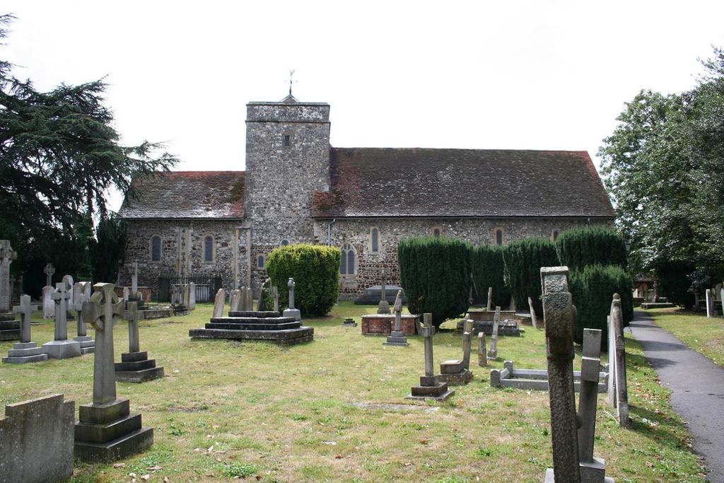
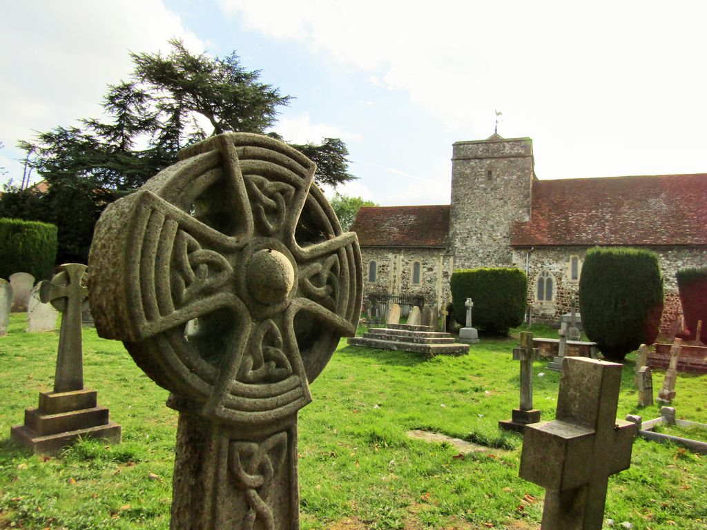
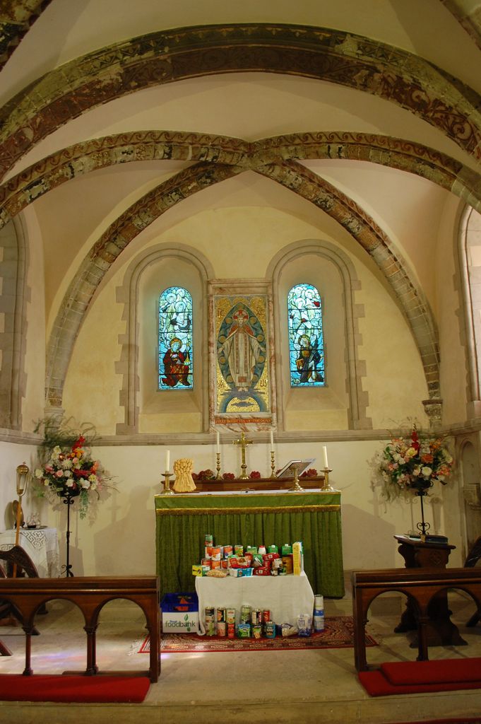
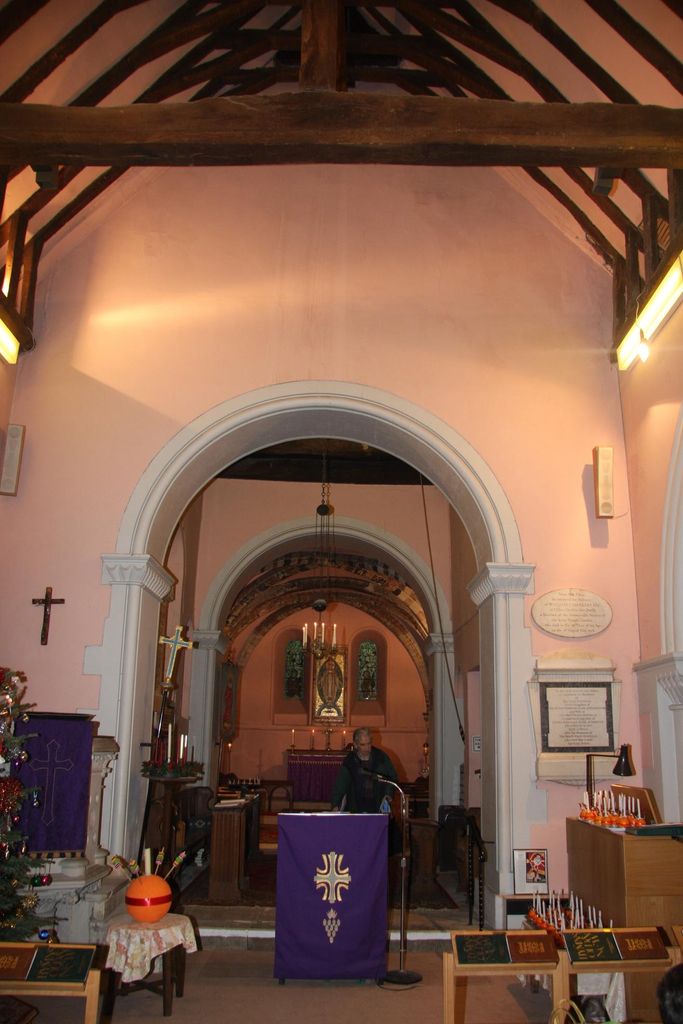
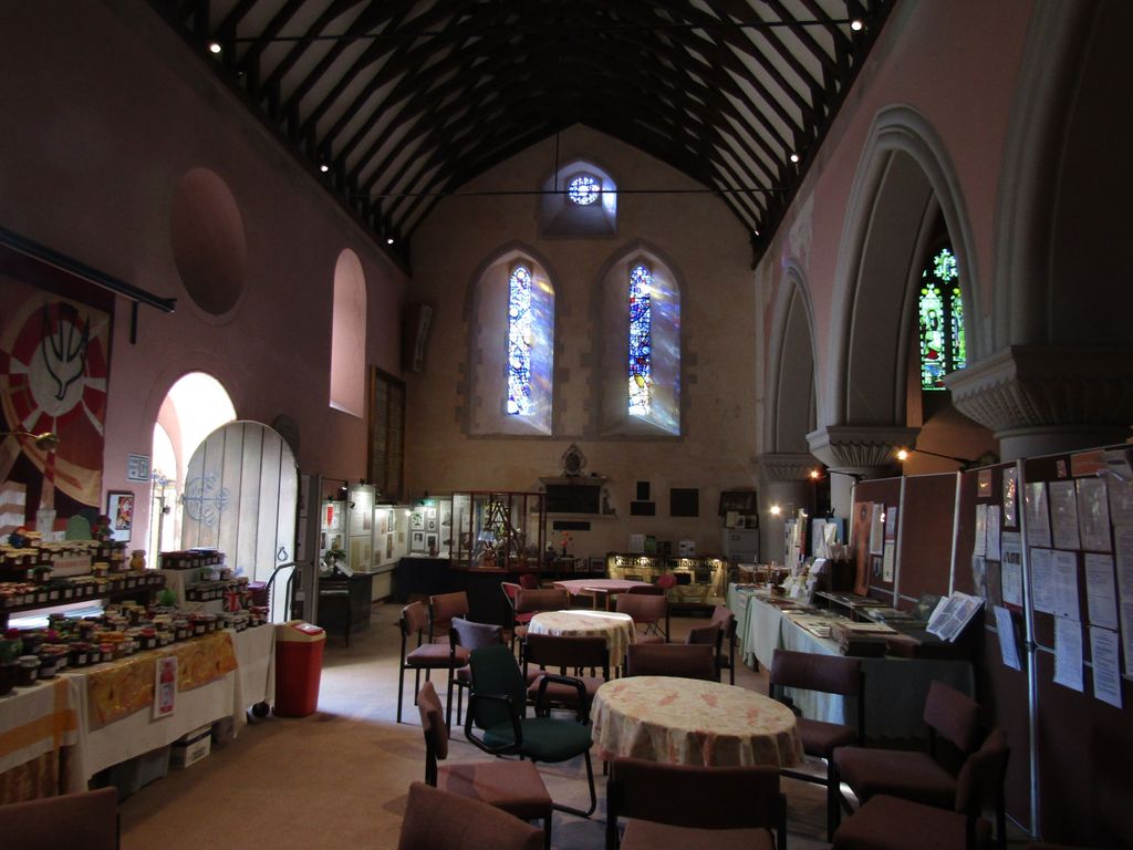
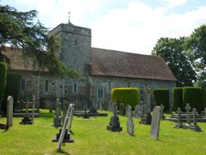
St. Laurence Churchyard is located at Upton Court Road Upton, Slough Borough ,Berkshire , SL3 7NREngland.
-
St. Laurence Churchyard cemetery's updated grave count on graveviews.com?
0 memorials
-
Where are the coordinates of the St. Laurence Churchyard?
Latitude: 51.5023140
Longitude: -0.5883950
Nearby Cemetories:
1. St Mary Churchyard
Slough, Slough Borough, England
Coordinate: 51.5090790, -0.5991854
2. Eton College Chapel
Eton, Windsor and Maidenhead Royal Borough, England
Coordinate: 51.4915352, -0.6087430
3. Slopes of Windsor
Windsor, Windsor and Maidenhead Royal Borough, England
Coordinate: 51.4850000, -0.5950000
4. Eton Parish Cemetery
Eton, Windsor and Maidenhead Royal Borough, England
Coordinate: 51.4929619, -0.6140140
5. St John the Evangelist Cemetery
Eton, Windsor and Maidenhead Royal Borough, England
Coordinate: 51.4927100, -0.6142100
6. St. Mary the Virgin Churchyard
Datchet, Windsor and Maidenhead Royal Borough, England
Coordinate: 51.4843260, -0.5782760
7. Slough Cemetery and Crematorium
Slough, Slough Borough, England
Coordinate: 51.5216350, -0.5917440
8. Albert Memorial Chapel
Windsor, Windsor and Maidenhead Royal Borough, England
Coordinate: 51.4837180, -0.6061340
9. St Mary the Virgin Churchyard
Langley, Slough Borough, England
Coordinate: 51.5057940, -0.5536500
10. St. George's Chapel
Windsor, Windsor and Maidenhead Royal Borough, England
Coordinate: 51.4835910, -0.6068820
11. Adelaide Cottage
Windsor, Windsor and Maidenhead Royal Borough, England
Coordinate: 51.4790700, -0.5903400
12. Datchet Parish Council Cemetery
Datchet, Windsor and Maidenhead Royal Borough, England
Coordinate: 51.4836530, -0.5657230
13. St Mary Churchyard
Wexham, South Bucks District, England
Coordinate: 51.5238510, -0.5704630
14. St John the Baptist Churchyard
Eton, Windsor and Maidenhead Royal Borough, England
Coordinate: 51.4958960, -0.6303240
15. St Andrew the Apostle Churchyard
Clewer, Windsor and Maidenhead Royal Borough, England
Coordinate: 51.4856620, -0.6246920
16. St John the Baptist Churchyard
Windsor, Windsor and Maidenhead Royal Borough, England
Coordinate: 51.4786250, -0.6136450
17. Royal Burial Ground
Windsor, Windsor and Maidenhead Royal Borough, England
Coordinate: 51.4740562, -0.5986640
18. Stoke Poges Memorial Gardens
Stoke Poges, South Bucks District, England
Coordinate: 51.5339900, -0.5925200
19. St. Giles Churchyard
Stoke Poges, South Bucks District, England
Coordinate: 51.5350100, -0.5948900
20. St. Mary Churchyard
Farnham Royal, South Bucks District, England
Coordinate: 51.5351250, -0.6149910
21. Windsor Cemetery
Windsor, Windsor and Maidenhead Royal Borough, England
Coordinate: 51.4703170, -0.6231090
22. St Mary Magdalene Churchyard Boveney
South Bucks District, England
Coordinate: 51.4902860, -0.6474170
23. Church Road Cemetery
Old Windsor, Windsor and Maidenhead Royal Borough, England
Coordinate: 51.4622500, -0.5805900
24. St. Peter and St. Andrew Churchyard
Old Windsor, Windsor and Maidenhead Royal Borough, England
Coordinate: 51.4621120, -0.5727310