
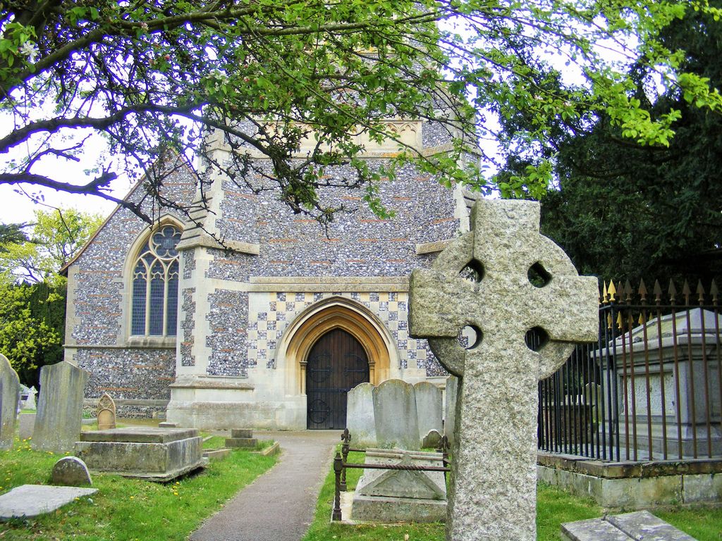
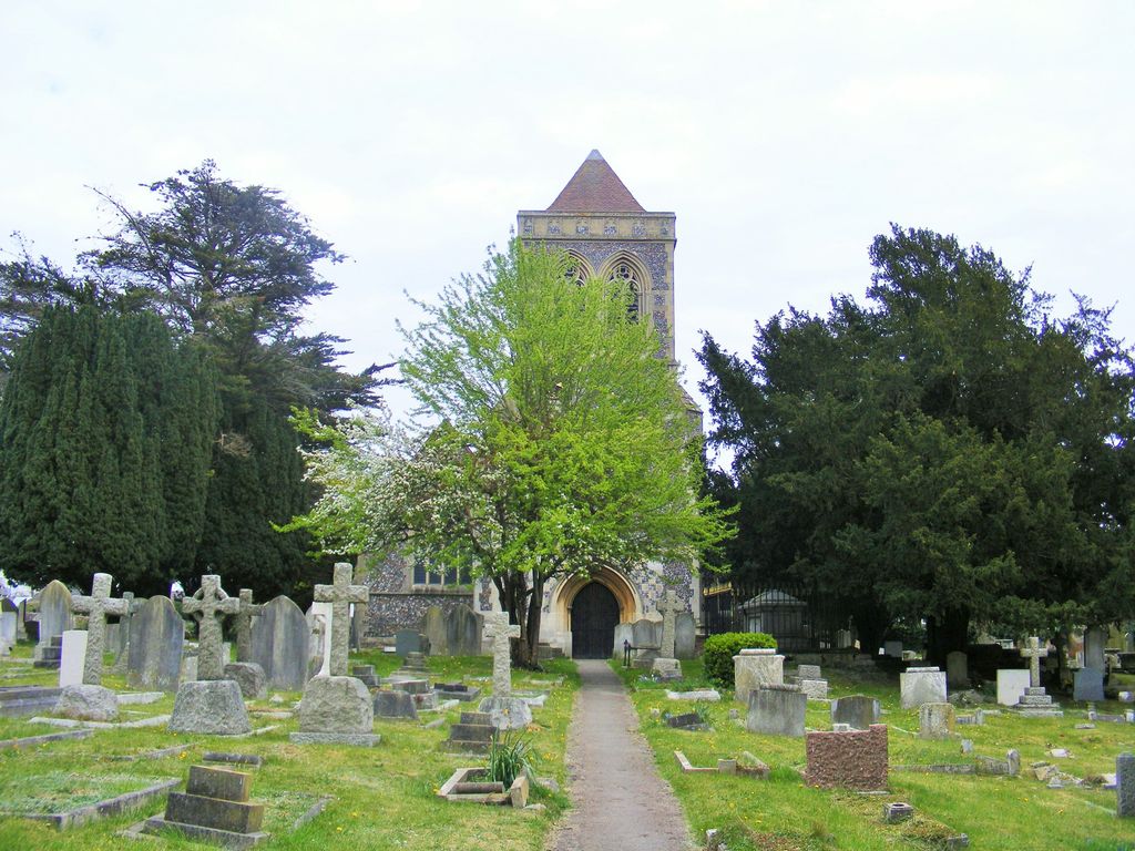
| Memorials | : | 0 |
| Location | : | Farnham Royal, South Bucks District, England |
| Coordinate | : | 51.5351250, -0.6149910 |
frequently asked questions (FAQ):
-
Where is St. Mary Churchyard?
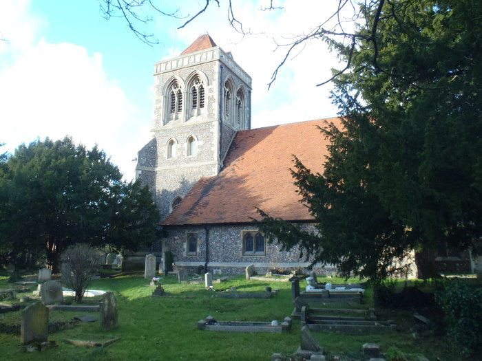
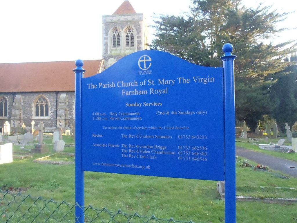
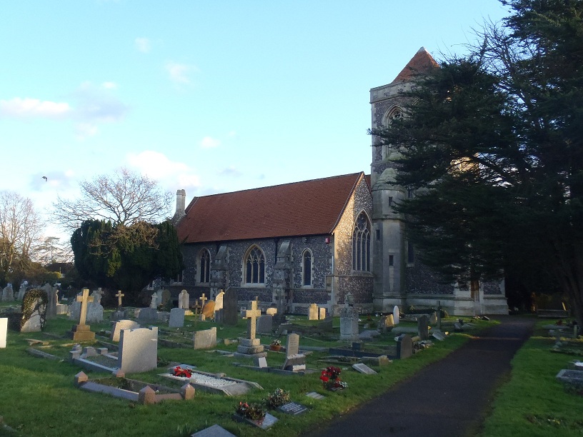
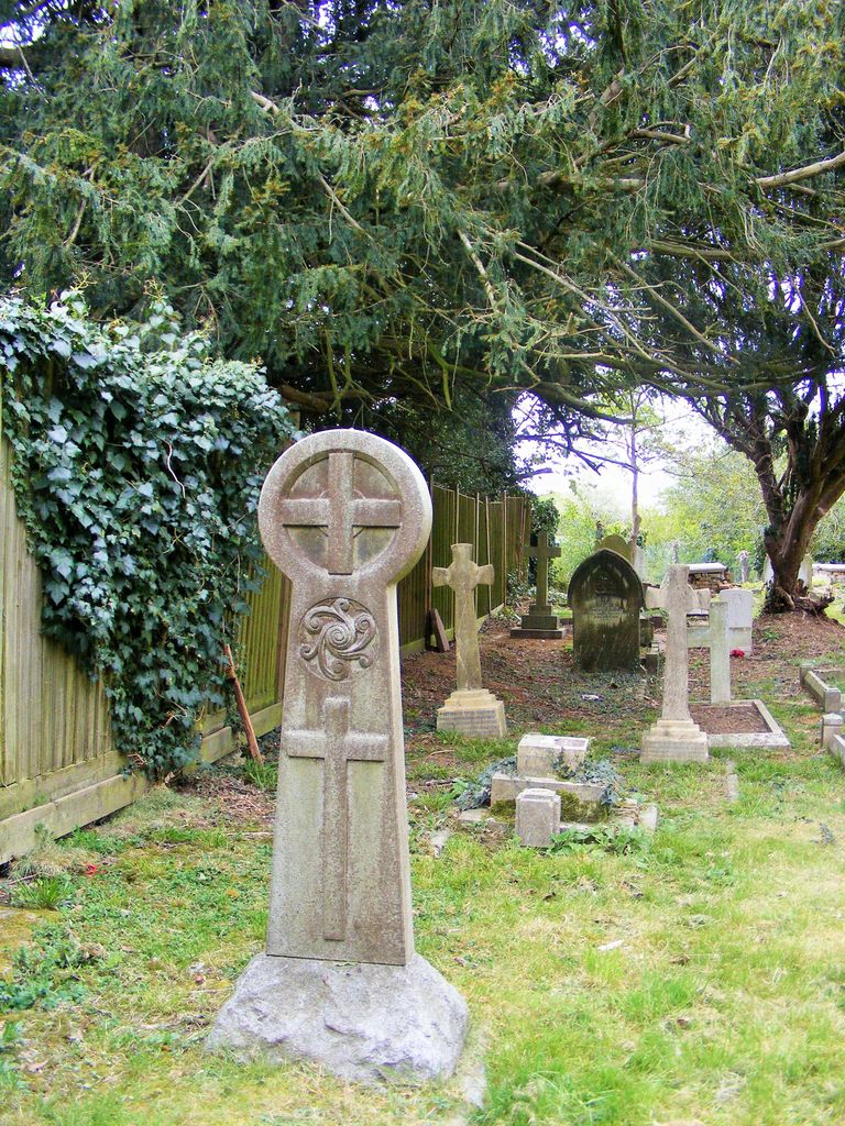
St. Mary Churchyard is located at Farnham Royal, South Bucks District ,Buckinghamshire ,England.
-
St. Mary Churchyard cemetery's updated grave count on graveviews.com?
0 memorials
-
Where are the coordinates of the St. Mary Churchyard?
Latitude: 51.5351250
Longitude: -0.6149910
Nearby Cemetories:
1. St. Giles Churchyard
Stoke Poges, South Bucks District, England
Coordinate: 51.5350100, -0.5948900
2. Stoke Poges Memorial Gardens
Stoke Poges, South Bucks District, England
Coordinate: 51.5339900, -0.5925200
3. Slough Cemetery and Crematorium
Slough, Slough Borough, England
Coordinate: 51.5216350, -0.5917440
4. Zion Chapel Burial Ground
Burnham, South Bucks District, England
Coordinate: 51.5358700, -0.6594930
5. St Mary Churchyard
Slough, Slough Borough, England
Coordinate: 51.5090790, -0.5991854
6. St Peter Churchyard
Burnham, South Bucks District, England
Coordinate: 51.5328060, -0.6598430
7. St Mary Churchyard
Wexham, South Bucks District, England
Coordinate: 51.5238510, -0.5704630
8. Burnham Abbey Church of St. Mary
Burnham, South Bucks District, England
Coordinate: 51.5155000, -0.6607100
9. St. Laurence Churchyard
Upton, Slough Borough, England
Coordinate: 51.5023140, -0.5883950
10. St. Mary's Churchyard
Hitcham, South Bucks District, England
Coordinate: 51.5346430, -0.6750330
11. Parkside Cemetery
Gerrards Cross, South Bucks District, England
Coordinate: 51.5669090, -0.5829160
12. Nashdom Abbey Cemetery
Burnham, South Bucks District, England
Coordinate: 51.5490600, -0.6739000
13. St John the Baptist Churchyard
Eton, Windsor and Maidenhead Royal Borough, England
Coordinate: 51.4958960, -0.6303240
14. St Anne Churchyard
Dropmore, South Bucks District, England
Coordinate: 51.5693020, -0.6530820
15. Eton Parish Cemetery
Eton, Windsor and Maidenhead Royal Borough, England
Coordinate: 51.4929619, -0.6140140
16. St Marys Churchyard
Hedgerley, South Bucks District, England
Coordinate: 51.5765630, -0.6006320
17. St John the Evangelist Cemetery
Eton, Windsor and Maidenhead Royal Borough, England
Coordinate: 51.4927100, -0.6142100
18. Eton College Chapel
Eton, Windsor and Maidenhead Royal Borough, England
Coordinate: 51.4915352, -0.6087430
19. St. Nicolas' Churchyard
Taplow, South Bucks District, England
Coordinate: 51.5313140, -0.6867530
20. St James the Less Churchyard
Dorney, South Bucks District, England
Coordinate: 51.5030670, -0.6689740
21. St Mary the Virgin Churchyard
Langley, Slough Borough, England
Coordinate: 51.5057940, -0.5536500
22. St Mary Magdalene Churchyard Boveney
South Bucks District, England
Coordinate: 51.4902860, -0.6474170
23. St Andrew the Apostle Churchyard
Clewer, Windsor and Maidenhead Royal Borough, England
Coordinate: 51.4856620, -0.6246920
24. The Old Churchyard
Taplow, South Bucks District, England
Coordinate: 51.5312190, -0.6950540