
| Memorials | : | 2 |
| Location | : | Stoke Poges, South Bucks District, England |
| Coordinate | : | 51.5350100, -0.5948900 |
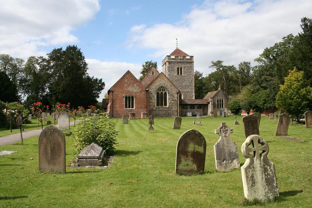
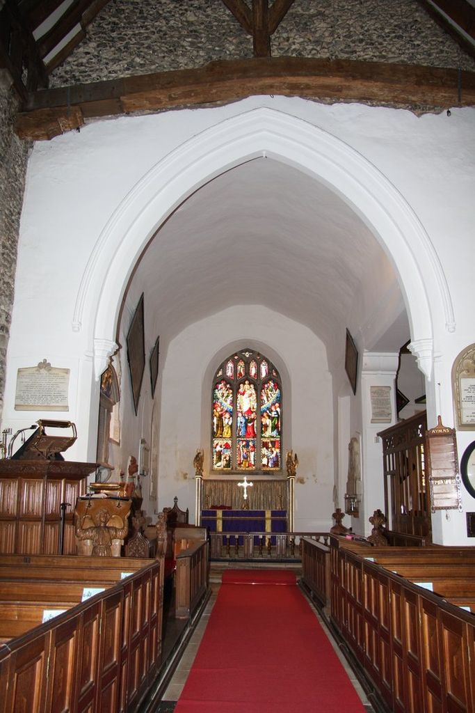
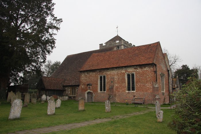
| Description | : | Parts of St. Giles’ Church date from Saxon times whilst much of the chancel and tower are Norman. The building has been added to and developed over the years. There is a Tudor side chapel which was integrated with the rest of the church by the Victorians. A church consisting of a chancel and nave was probably built shortly before it was given to St. Mary Overy early in the 12th century; the tower and south aisle were built about 1225, when the chancel was lengthened, and the north aisle was added in the last half of the same century.... Read More |
frequently asked questions (FAQ):
-
Where is St. Giles Churchyard?
St. Giles Churchyard is located at Stoke Poges, South Bucks District ,Buckinghamshire ,England.
-
St. Giles Churchyard cemetery's updated grave count on graveviews.com?
2 memorials
-
Where are the coordinates of the St. Giles Churchyard?
Latitude: 51.5350100
Longitude: -0.5948900
Nearby Cemetories:
1. Stoke Poges Memorial Gardens
Stoke Poges, South Bucks District, England
Coordinate: 51.5339900, -0.5925200
2. St. Mary Churchyard
Farnham Royal, South Bucks District, England
Coordinate: 51.5351250, -0.6149910
3. Slough Cemetery and Crematorium
Slough, Slough Borough, England
Coordinate: 51.5216350, -0.5917440
4. St Mary Churchyard
Wexham, South Bucks District, England
Coordinate: 51.5238510, -0.5704630
5. St Mary Churchyard
Slough, Slough Borough, England
Coordinate: 51.5090790, -0.5991854
6. Parkside Cemetery
Gerrards Cross, South Bucks District, England
Coordinate: 51.5669090, -0.5829160
7. St. Laurence Churchyard
Upton, Slough Borough, England
Coordinate: 51.5023140, -0.5883950
8. St Mary the Virgin Churchyard
Langley, Slough Borough, England
Coordinate: 51.5057940, -0.5536500
9. Zion Chapel Burial Ground
Burnham, South Bucks District, England
Coordinate: 51.5358700, -0.6594930
10. St Peter Churchyard
Burnham, South Bucks District, England
Coordinate: 51.5328060, -0.6598430
11. St Marys Churchyard
Hedgerley, South Bucks District, England
Coordinate: 51.5765630, -0.6006320
12. St. Margaret of Antioch Churchyard
Iver, South Bucks District, England
Coordinate: 51.5386980, -0.5255120
13. Eton Parish Cemetery
Eton, Windsor and Maidenhead Royal Borough, England
Coordinate: 51.4929619, -0.6140140
14. St John the Evangelist Cemetery
Eton, Windsor and Maidenhead Royal Borough, England
Coordinate: 51.4927100, -0.6142100
15. Eton College Chapel
Eton, Windsor and Maidenhead Royal Borough, England
Coordinate: 51.4915352, -0.6087430
16. St John the Baptist Churchyard
Eton, Windsor and Maidenhead Royal Borough, England
Coordinate: 51.4958960, -0.6303240
17. Burnham Abbey Church of St. Mary
Burnham, South Bucks District, England
Coordinate: 51.5155000, -0.6607100
18. St Anne Churchyard
Dropmore, South Bucks District, England
Coordinate: 51.5693020, -0.6530820
19. St. Mary's Churchyard
Hitcham, South Bucks District, England
Coordinate: 51.5346430, -0.6750330
20. Slopes of Windsor
Windsor, Windsor and Maidenhead Royal Borough, England
Coordinate: 51.4850000, -0.5950000
21. Nashdom Abbey Cemetery
Burnham, South Bucks District, England
Coordinate: 51.5490600, -0.6739000
22. St. Mary the Virgin Churchyard
Datchet, Windsor and Maidenhead Royal Borough, England
Coordinate: 51.4843260, -0.5782760
23. Albert Memorial Chapel
Windsor, Windsor and Maidenhead Royal Borough, England
Coordinate: 51.4837180, -0.6061340
24. St. George's Chapel
Windsor, Windsor and Maidenhead Royal Borough, England
Coordinate: 51.4835910, -0.6068820