
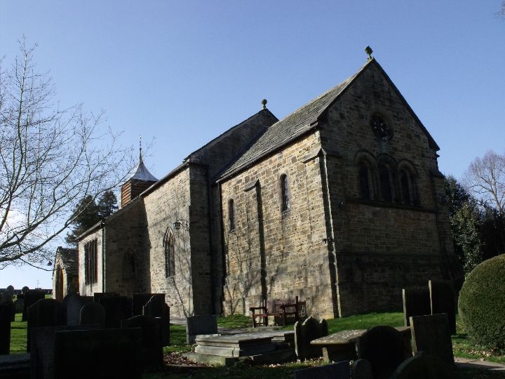
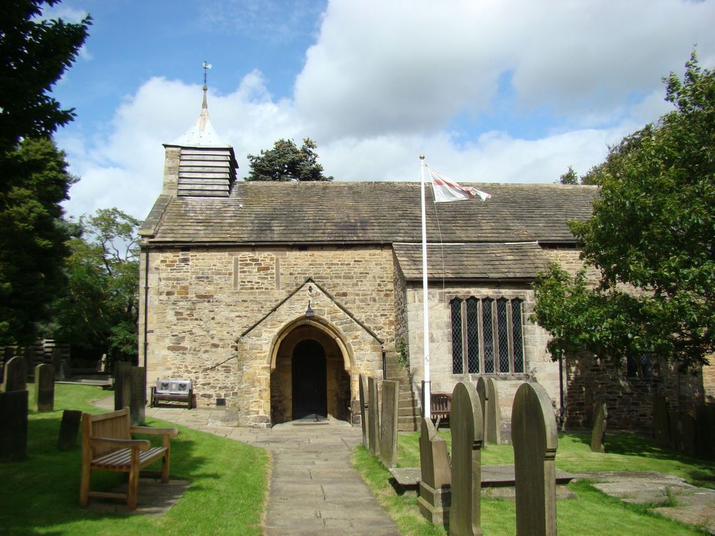
| Memorials | : | 0 |
| Location | : | Barlow, North East Derbyshire District, England |
| Coordinate | : | 53.2680970, -1.4846110 |
frequently asked questions (FAQ):
-
Where is St Lawrence Churchyard?
St Lawrence Churchyard is located at Barlow, North East Derbyshire District ,Derbyshire ,England.
-
St Lawrence Churchyard cemetery's updated grave count on graveviews.com?
0 memorials
-
Where are the coordinates of the St Lawrence Churchyard?
Latitude: 53.2680970
Longitude: -1.4846110
Nearby Cemetories:
1. St. Peter and St. Paul Churchyard
Brampton, North East Derbyshire District, England
Coordinate: 53.2433700, -1.4978600
2. St. John The Evangelist Churchyard
Newbold, Chesterfield Borough, England
Coordinate: 53.2573090, -1.4437910
3. Dronfield Cemetery
Dronfield, North East Derbyshire District, England
Coordinate: 53.2968660, -1.4626160
4. Saint Swithin's Churchyard
Holmesfield, North East Derbyshire District, England
Coordinate: 53.2950970, -1.5204220
5. St. Bartholomew's Churchyard
Old Whittington, Chesterfield Borough, England
Coordinate: 53.2728810, -1.4249180
6. St Thomas Churchyard
Brampton, North East Derbyshire District, England
Coordinate: 53.2314930, -1.4584950
7. Christ Church Churchyard
Chesterfield, Chesterfield Borough, England
Coordinate: 53.2463580, -1.4241670
8. Holy Trinity Churchyard
Chesterfield, Chesterfield Borough, England
Coordinate: 53.2401580, -1.4287290
9. St Mary and All Saints Churchyard
Chesterfield, Chesterfield Borough, England
Coordinate: 53.2363373, -1.4248396
10. Chesterfield and District Crematorium
Chesterfield, Chesterfield Borough, England
Coordinate: 53.2532570, -1.4066520
11. Saint Peter Churchyard
Holymoorside, North East Derbyshire District, England
Coordinate: 53.2184100, -1.4918500
12. Brimington Cemetery
Brimington, Chesterfield Borough, England
Coordinate: 53.2538000, -1.4043520
13. Spital Cemetery
Chesterfield, Chesterfield Borough, England
Coordinate: 53.2322980, -1.4160870
14. St. Peter's Churchyard
Chesterfield, Chesterfield Borough, England
Coordinate: 53.2340842, -1.3902336
15. Beauchief Abbey
Sheffield, Metropolitan Borough of Sheffield, England
Coordinate: 53.3333390, -1.5004830
16. Christ Churchyard
Dore, Metropolitan Borough of Sheffield, England
Coordinate: 53.3255190, -1.5398230
17. St James Churchyard
Metropolitan Borough of Sheffield, England
Coordinate: 53.3351755, -1.4627557
18. St. James' Churchyard
Metropolitan Borough of Sheffield, England
Coordinate: 53.3355370, -1.4623400
19. Abbey Lane Cemetery
Sheffield, Metropolitan Borough of Sheffield, England
Coordinate: 53.3375920, -1.4903430
20. Hasland Cemetery
Hasland, North East Derbyshire District, England
Coordinate: 53.2122300, -1.4081600
21. All Saints Churchyard
Wingerworth, North East Derbyshire District, England
Coordinate: 53.2027700, -1.4281100
22. Hutcliffe Wood Crematorium
Sheffield, Metropolitan Borough of Sheffield, England
Coordinate: 53.3415870, -1.4919950
23. Ridgeway Methodist Church Cemetery
Sheffield, Metropolitan Borough of Sheffield, England
Coordinate: 53.3248360, -1.3979360
24. St. John the Evangelist Churchyard
North East Derbyshire District, England
Coordinate: 53.3262300, -1.3987400