
| Memorials | : | 0 |
| Location | : | Mappleton, Derbyshire Dales District, England |
| Coordinate | : | 53.0294920, -1.7542220 |
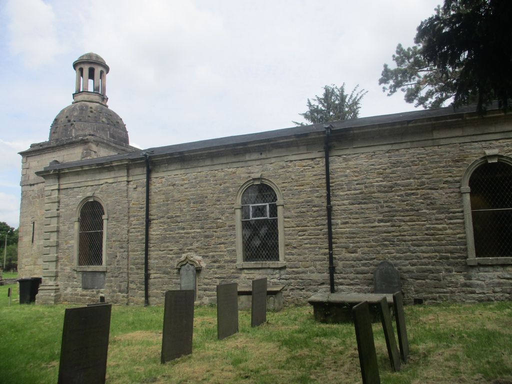
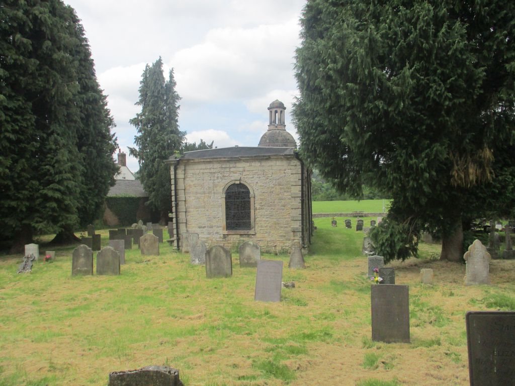
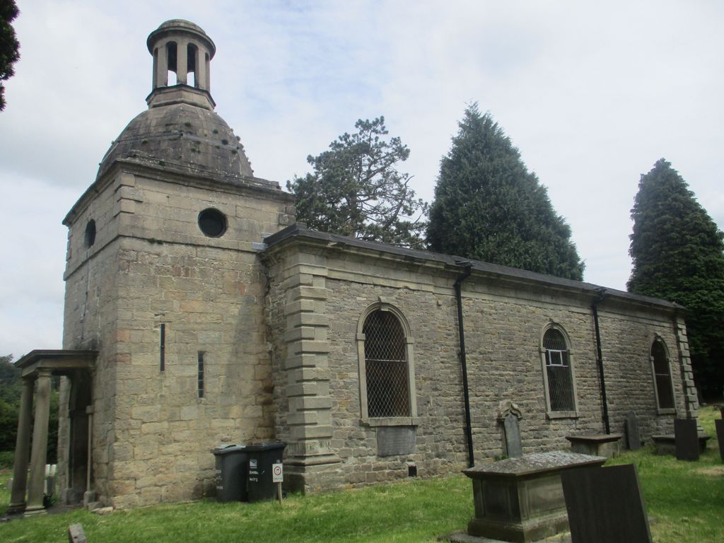
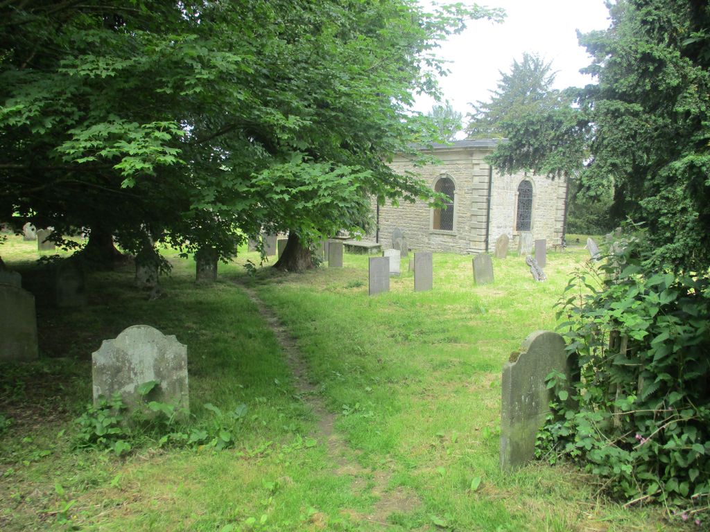
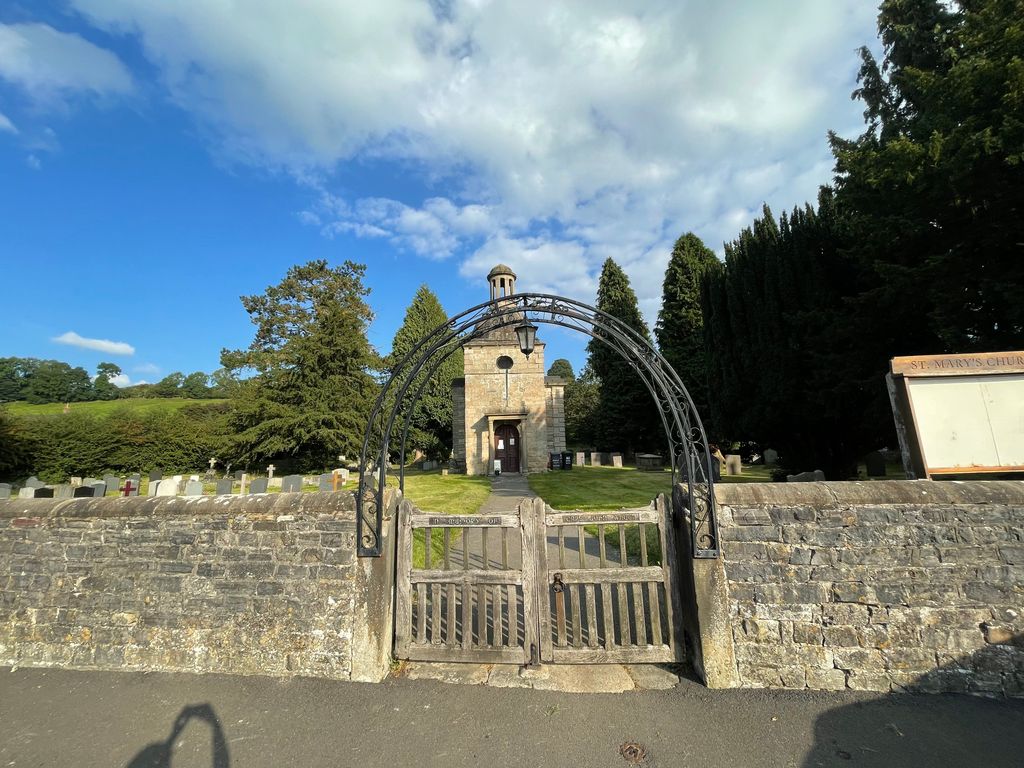
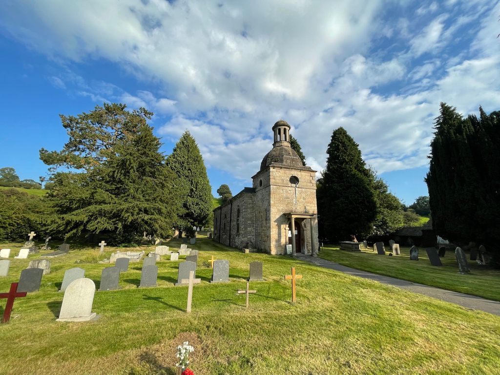
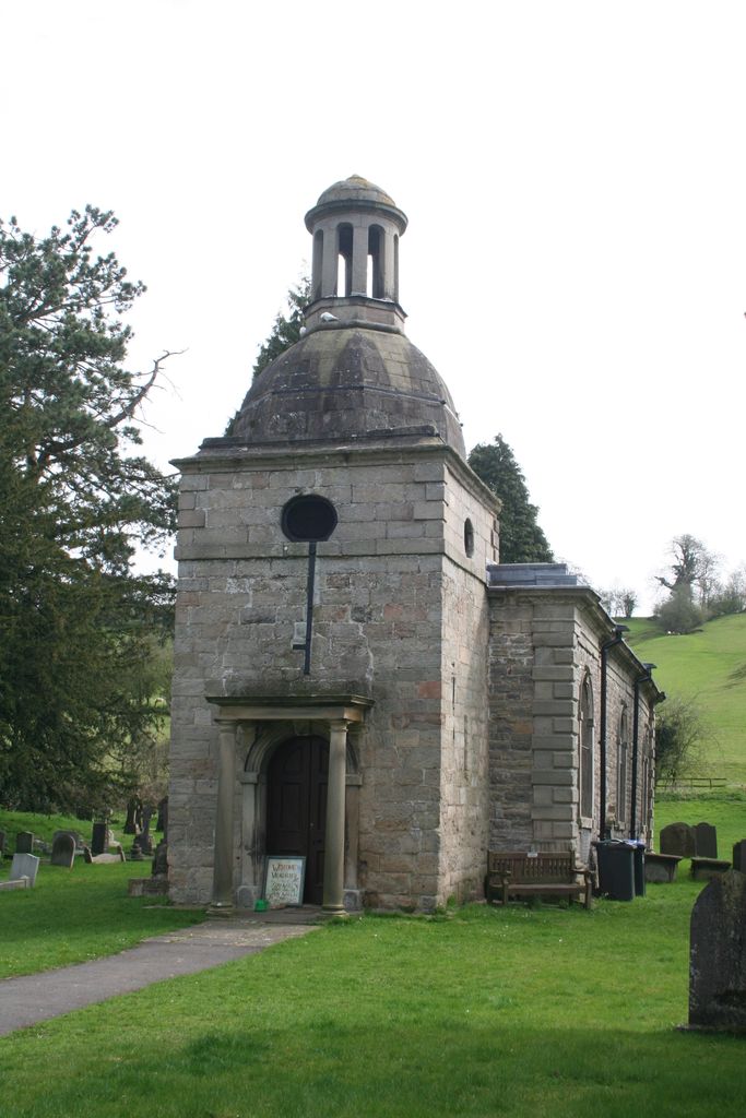
| Description | : | Mapleton has one church, the Church of St. Mary. It was first mentioned in records in the reign of Edward I. Further information on the church after that point was relatively scarce until a survey was conducted in the reign of Edward VI in 1547. The current building was built in the mid-18th century, one hundred years after the Parliamentary Commissioners declared that the church was 'fit to be disused' in 1650. |
frequently asked questions (FAQ):
-
Where is St. Mary's Churchyard?
St. Mary's Churchyard is located at Mappleton, Derbyshire Dales District ,Derbyshire ,England.
-
St. Mary's Churchyard cemetery's updated grave count on graveviews.com?
0 memorials
-
Where are the coordinates of the St. Mary's Churchyard?
Latitude: 53.0294920
Longitude: -1.7542220

Nearby Cemetories:
1. Mapleton, St Mary
Ashbourne, Derbyshire Dales District, England
Coordinate: 53.0294190, -1.7544910
2. All Saints Church
Okeover, East Staffordshire Borough, England
Coordinate: 53.0302050, -1.7650989
3. St Oswald Churchyard
Ashbourne, Derbyshire Dales District, England
Coordinate: 53.0149220, -1.7386720
4. Ashbourne Cemetery
Ashbourne, Derbyshire Dales District, England
Coordinate: 53.0109900, -1.7482450
5. St. Edmund King and Martyr Churchyard
Fenny Bentley, Derbyshire Dales District, England
Coordinate: 53.0486820, -1.7411430
6. St. Leonard's Churchyard
Thorpe, Derbyshire Dales District, England
Coordinate: 53.0485290, -1.7682900
7. Saint Bartholomew Churchyard
Blore, Staffordshire Moorlands District, England
Coordinate: 53.0411100, -1.7963100
8. St. Bartholomew's Churchyard
Blore, Derbyshire Dales District, England
Coordinate: 53.0408190, -1.7967020
9. Holy Trinity Churchyard
Clifton, Derbyshire Dales District, England
Coordinate: 53.0002710, -1.7545890
10. St. John the Baptist Churchyard
Mayfield, East Staffordshire Borough, England
Coordinate: 52.9998700, -1.7716970
11. Holy Cross Churchyard
Ilam, Staffordshire Moorlands District, England
Coordinate: 53.0533440, -1.8034640
12. St. Mary's Churchyard
Stanton, East Staffordshire Borough, England
Coordinate: 53.0109590, -1.8136560
13. St. Peter's Churchyard
Snelston, Derbyshire Dales District, England
Coordinate: 52.9871570, -1.7700260
14. St. Michael & All Angels Churchyard
Kniveton, Derbyshire Dales District, England
Coordinate: 53.0503980, -1.6881340
15. St. Martin Churchyard
Osmaston, Derbyshire Dales District, England
Coordinate: 52.9930270, -1.7042370
16. St. James' Churchyard
Edlaston, Derbyshire Dales District, England
Coordinate: 52.9811080, -1.7316130
17. All Saints Churchyard
Bradley, Derbyshire Dales District, England
Coordinate: 53.0105800, -1.6682420
18. All Saints Churchyard
Bradbourne, Derbyshire Dales District, England
Coordinate: 53.0716940, -1.6909330
19. St Mary's Churchyard
Calton, Staffordshire Moorlands District, England
Coordinate: 53.0489970, -1.8472480
20. Saint Peter's Cemetery
Ellastone, East Staffordshire Borough, England
Coordinate: 52.9882900, -1.8275000
21. St. Mary and St. Barlock Churchyard
Norbury, Derbyshire Dales District, England
Coordinate: 52.9787350, -1.8146430
22. St. Peter's Churchyard
Alstonefield, Staffordshire Moorlands District, England
Coordinate: 53.0951350, -1.8031540
23. St. Michael's Churchyard
Shirley, Derbyshire Dales District, England
Coordinate: 52.9718160, -1.6755680
24. Christ Church Churchyard
Hulland, Derbyshire Dales District, England
Coordinate: 53.0235790, -1.6295860