
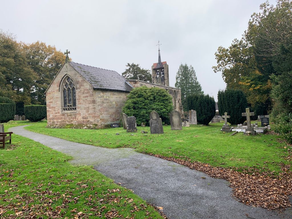
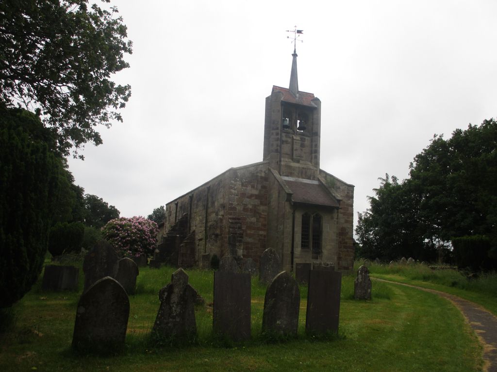
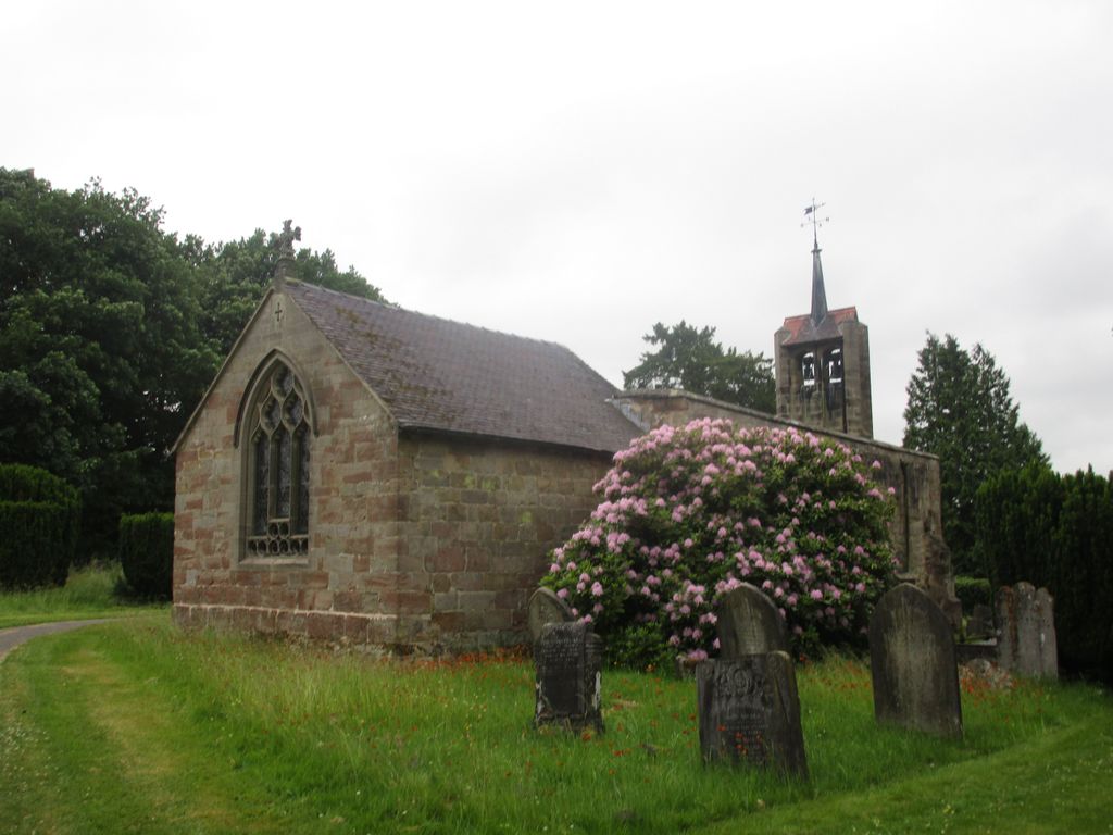
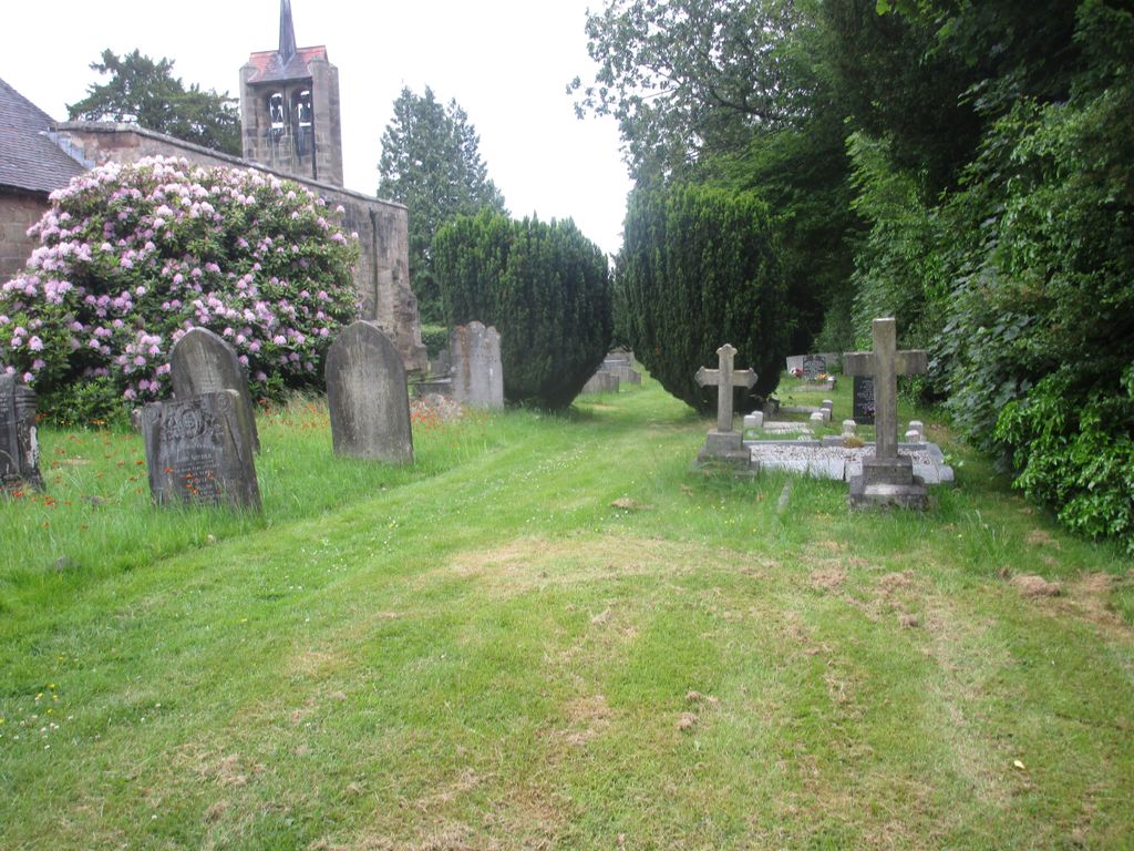
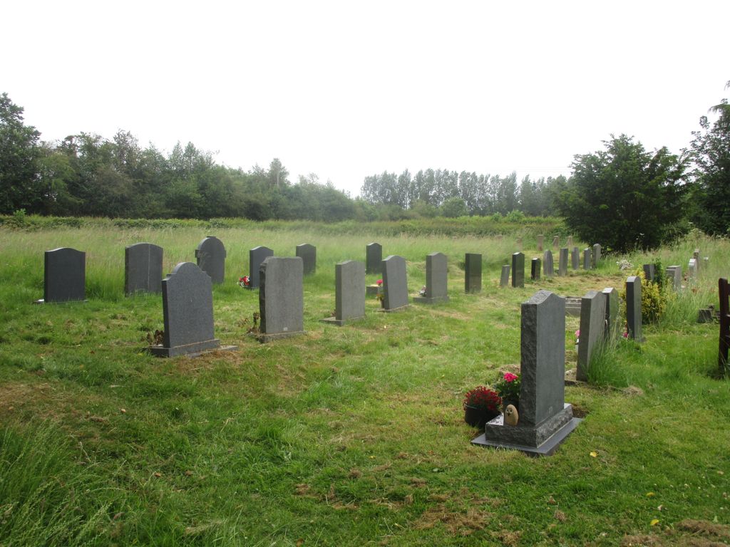
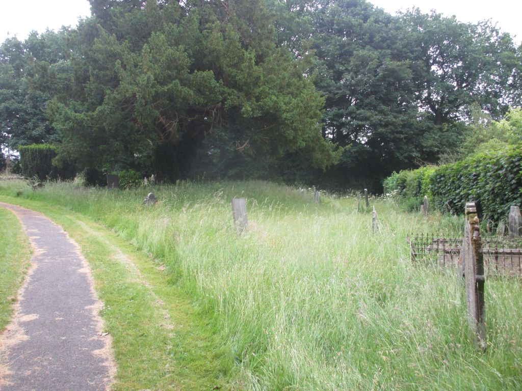
| Memorials | : | 0 |
| Location | : | Edlaston, Derbyshire Dales District, England |
| Coordinate | : | 52.9811080, -1.7316130 |
frequently asked questions (FAQ):
-
Where is St. James' Churchyard?
St. James' Churchyard is located at Edlaston, Derbyshire Dales District ,Derbyshire ,England.
-
St. James' Churchyard cemetery's updated grave count on graveviews.com?
0 memorials
-
Where are the coordinates of the St. James' Churchyard?
Latitude: 52.9811080
Longitude: -1.7316130

Nearby Cemetories:
1. St. Martin Churchyard
Osmaston, Derbyshire Dales District, England
Coordinate: 52.9930270, -1.7042370
2. Holy Trinity Churchyard
Clifton, Derbyshire Dales District, England
Coordinate: 53.0002710, -1.7545890
3. St. Peter's Churchyard
Snelston, Derbyshire Dales District, England
Coordinate: 52.9871570, -1.7700260
4. Yeaveley Cemetery
Yeaveley, Derbyshire Dales District, England
Coordinate: 52.9552050, -1.7250170
5. St. John the Baptist Churchyard
Mayfield, East Staffordshire Borough, England
Coordinate: 52.9998700, -1.7716970
6. Ashbourne Cemetery
Ashbourne, Derbyshire Dales District, England
Coordinate: 53.0109900, -1.7482450
7. St Oswald Churchyard
Ashbourne, Derbyshire Dales District, England
Coordinate: 53.0149220, -1.7386720
8. St. Michael's Churchyard
Shirley, Derbyshire Dales District, England
Coordinate: 52.9718160, -1.6755680
9. St. John's Churchyard
Alkmonton, Derbyshire Dales District, England
Coordinate: 52.9438800, -1.7229970
10. All Saints Churchyard
Bradley, Derbyshire Dales District, England
Coordinate: 53.0105800, -1.6682420
11. St. Chad Churchyard
Longford, Derbyshire Dales District, England
Coordinate: 52.9419000, -1.6818000
12. St. Mary and St. Barlock Churchyard
Norbury, Derbyshire Dales District, England
Coordinate: 52.9787350, -1.8146430
13. Mapleton, St Mary
Ashbourne, Derbyshire Dales District, England
Coordinate: 53.0294190, -1.7544910
14. St. Mary's Churchyard
Mappleton, Derbyshire Dales District, England
Coordinate: 53.0294920, -1.7542220
15. All Saints Church
Okeover, East Staffordshire Borough, England
Coordinate: 53.0302050, -1.7650989
16. St. Mary's Churchyard
Stanton, East Staffordshire Borough, England
Coordinate: 53.0109590, -1.8136560
17. Saint Peter's Cemetery
Ellastone, East Staffordshire Borough, England
Coordinate: 52.9882900, -1.8275000
18. All Saints Churchyard
Brailsford, Derbyshire Dales District, England
Coordinate: 52.9683200, -1.6367880
19. Brailsford Cemetery
Brailsford, Derbyshire Dales District, England
Coordinate: 52.9687740, -1.6365260
20. St. Giles Churchyard
Marston Montgomery, Derbyshire Dales District, England
Coordinate: 52.9382120, -1.8007610
21. St. John the Baptist Churchyard
Boylestone, Derbyshire Dales District, England
Coordinate: 52.9195410, -1.7313190
22. St. Edmund King and Martyr Churchyard
Fenny Bentley, Derbyshire Dales District, England
Coordinate: 53.0486820, -1.7411430
23. St. Leonard's Churchyard
Thorpe, Derbyshire Dales District, England
Coordinate: 53.0485290, -1.7682900
24. St. Bartholomew's Churchyard
Blore, Derbyshire Dales District, England
Coordinate: 53.0408190, -1.7967020