
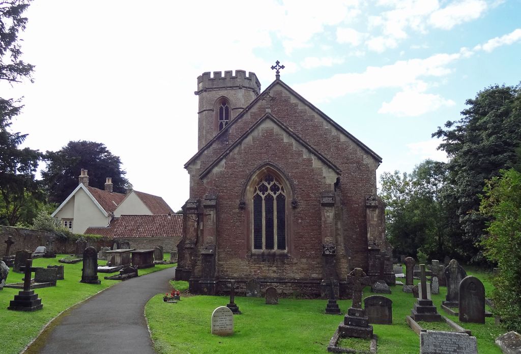
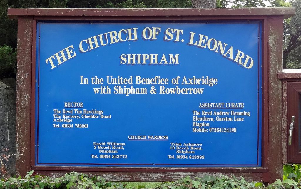
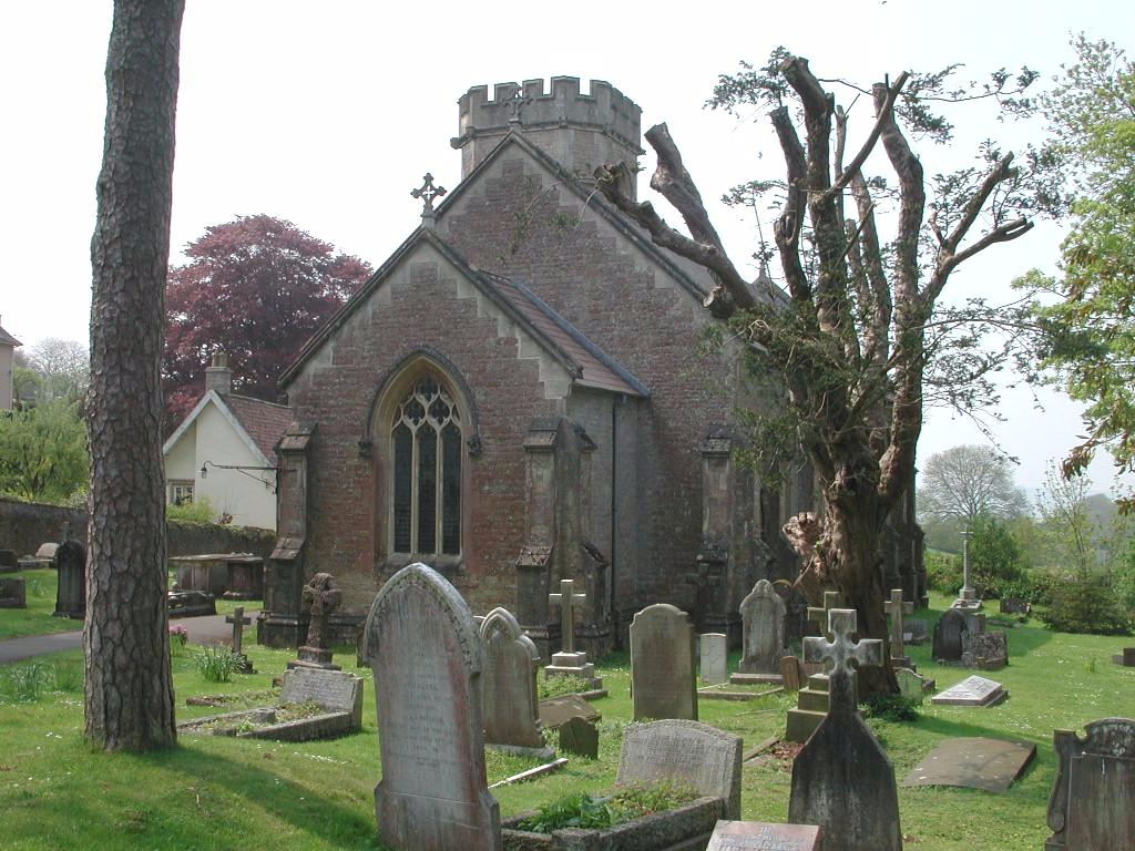
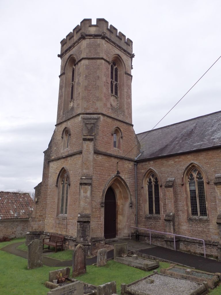
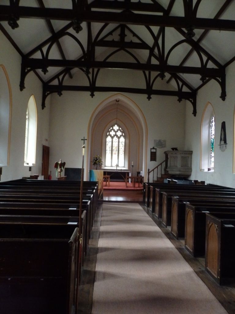
| Memorials | : | 2 |
| Location | : | Shipham, Sedgemoor District, England |
| Coordinate | : | 51.3130980, -2.8001830 |
frequently asked questions (FAQ):
-
Where is St Leonard's Churchyard?
St Leonard's Churchyard is located at The Square, Cuck Hill Shipham, Sedgemoor District ,Somerset , BS25 1RAEngland.
-
St Leonard's Churchyard cemetery's updated grave count on graveviews.com?
2 memorials
-
Where are the coordinates of the St Leonard's Churchyard?
Latitude: 51.3130980
Longitude: -2.8001830
Nearby Cemetories:
1. Shipham Cemetery
Shipham, Sedgemoor District, England
Coordinate: 51.3201930, -2.7992390
2. St Michael and All Angels
Rowberrow, North Somerset Unitary Authority, England
Coordinate: 51.3240000, -2.7915000
3. Methodist Church Burial Ground
Churchill, North Somerset Unitary Authority, England
Coordinate: 51.3344140, -2.8000610
4. St. Michael Sanatorium Cemetery
Axbridge, Sedgemoor District, England
Coordinate: 51.2904100, -2.8056900
5. Winscombe and Sandford Cemetery
Winscombe, North Somerset Unitary Authority, England
Coordinate: 51.3223861, -2.8386889
6. Saint John the Baptist Churchyard
Churchill, North Somerset Unitary Authority, England
Coordinate: 51.3384750, -2.8092710
7. St. John the Baptist Churchyard
Axbridge, Sedgemoor District, England
Coordinate: 51.2876300, -2.8162900
8. St. James the Great Churchyard
Winscombe, North Somerset Unitary Authority, England
Coordinate: 51.3059750, -2.8456900
9. St Mary's Church
Lower Langford, North Somerset Unitary Authority, England
Coordinate: 51.3399805, -2.7813469
10. Langford Chapelyard
Lower Langford, North Somerset Unitary Authority, England
Coordinate: 51.3434850, -2.7715630
11. Holy Trinity Churchyard
Burrington, North Somerset Unitary Authority, England
Coordinate: 51.3307830, -2.7496010
12. Cheddar Baptist Burial Ground
Cheddar, Sedgemoor District, England
Coordinate: 51.2767330, -2.7792010
13. St. Andrew's Churchyard
Cheddar, Sedgemoor District, England
Coordinate: 51.2736740, -2.7761330
14. St. Andrew's Churchyard
Banwell, North Somerset Unitary Authority, England
Coordinate: 51.3280700, -2.8637000
15. Banwell War Memorial
Banwell, North Somerset Unitary Authority, England
Coordinate: 51.3278233, -2.8648124
16. Saint Andrew Churchyard
Compton Bishop, Sedgemoor District, England
Coordinate: 51.2943290, -2.8678900
17. St Gregory Churchyard
Weare, Sedgemoor District, England
Coordinate: 51.2699900, -2.8408600
18. All Saints Churchyard
Wrington, North Somerset Unitary Authority, England
Coordinate: 51.3610710, -2.7657110
19. St Andrew Churchyard
Blagdon, North Somerset Unitary Authority, England
Coordinate: 51.3275610, -2.7127710
20. Wrington Chapel
Wrington, North Somerset Unitary Authority, England
Coordinate: 51.3651900, -2.7638270
21. The Blessed Virgin Mary
Axbridge, Sedgemoor District, England
Coordinate: 51.3112017, -2.8913443
22. St Andrew Churchyard
Congresbury, North Somerset Unitary Authority, England
Coordinate: 51.3701100, -2.8121320
23. St Congar Churchyard
Badgworth, Sedgemoor District, England
Coordinate: 51.2699300, -2.8674000
24. St Andrew's Church
Loxton, North Somerset Unitary Authority, England
Coordinate: 51.2981560, -2.8962140