
| Memorials | : | 1 |
| Location | : | Lower Langford, North Somerset Unitary Authority, England |
| Coordinate | : | 51.3434850, -2.7715630 |
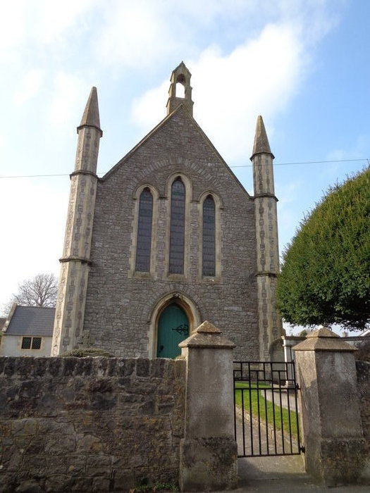
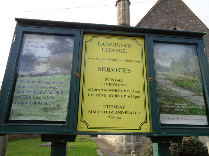
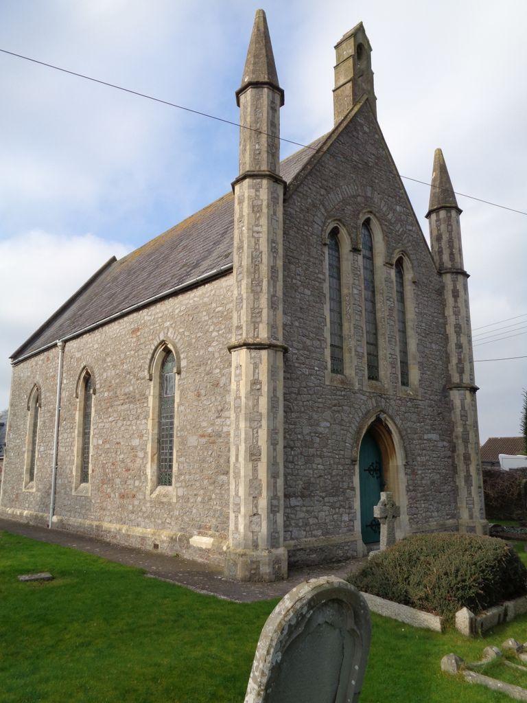
| Description | : | Langford Chapel known as Langford Evangelical Church was built in 1846. The photos provided represent all the graves which are legible. |
frequently asked questions (FAQ):
-
Where is Langford Chapelyard?
Langford Chapelyard is located at Blackmoor Lower Langford Lower Langford, North Somerset Unitary Authority ,Somerset , BS40 5HLEngland.
-
Langford Chapelyard cemetery's updated grave count on graveviews.com?
1 memorials
-
Where are the coordinates of the Langford Chapelyard?
Latitude: 51.3434850
Longitude: -2.7715630
Nearby Cemetories:
1. St Mary's Church
Lower Langford, North Somerset Unitary Authority, England
Coordinate: 51.3399805, -2.7813469
2. All Saints Churchyard
Wrington, North Somerset Unitary Authority, England
Coordinate: 51.3610710, -2.7657110
3. Holy Trinity Churchyard
Burrington, North Somerset Unitary Authority, England
Coordinate: 51.3307830, -2.7496010
4. Methodist Church Burial Ground
Churchill, North Somerset Unitary Authority, England
Coordinate: 51.3344140, -2.8000610
5. Wrington Chapel
Wrington, North Somerset Unitary Authority, England
Coordinate: 51.3651900, -2.7638270
6. St Michael and All Angels
Rowberrow, North Somerset Unitary Authority, England
Coordinate: 51.3240000, -2.7915000
7. Saint John the Baptist Churchyard
Churchill, North Somerset Unitary Authority, England
Coordinate: 51.3384750, -2.8092710
8. Shipham Cemetery
Shipham, Sedgemoor District, England
Coordinate: 51.3201930, -2.7992390
9. St Leonard's Churchyard
Shipham, Sedgemoor District, England
Coordinate: 51.3130980, -2.8001830
10. St Andrew Churchyard
Congresbury, North Somerset Unitary Authority, England
Coordinate: 51.3701100, -2.8121320
11. Christ Church Churchyard
Redhill, North Somerset Unitary Authority, England
Coordinate: 51.3657790, -2.7245240
12. St Andrew Churchyard
Blagdon, North Somerset Unitary Authority, England
Coordinate: 51.3275610, -2.7127710
13. Winscombe and Sandford Cemetery
Winscombe, North Somerset Unitary Authority, England
Coordinate: 51.3223861, -2.8386889
14. Holy Trinity Churchyard
Cleeve, North Somerset Unitary Authority, England
Coordinate: 51.3908200, -2.7773600
15. St. Michael and All Angels Churchyard
Butcombe, North Somerset Unitary Authority, England
Coordinate: 51.3538470, -2.6973670
16. Yatton Parish Council Burial Grounds
Yatton, North Somerset Unitary Authority, England
Coordinate: 51.3840541, -2.8182519
17. St. Mary's Churchyard
Yatton, North Somerset Unitary Authority, England
Coordinate: 51.3847720, -2.8185510
18. St. Nicholas' Churchyard
Brockley, North Somerset Unitary Authority, England
Coordinate: 51.3988950, -2.7686830
19. Holy Saviour Churchyard
Puxton, North Somerset Unitary Authority, England
Coordinate: 51.3652680, -2.8536510
20. St. Michael Sanatorium Cemetery
Axbridge, Sedgemoor District, England
Coordinate: 51.2904100, -2.8056900
21. St. Andrew's Churchyard
Banwell, North Somerset Unitary Authority, England
Coordinate: 51.3280700, -2.8637000
22. St. James the Great Churchyard
Winscombe, North Somerset Unitary Authority, England
Coordinate: 51.3059750, -2.8456900
23. Banwell War Memorial
Banwell, North Somerset Unitary Authority, England
Coordinate: 51.3278233, -2.8648124
24. Blessed Virgin Mary Churchyard
Nempnett Thrubwell, Bath and North East Somerset Unitary Authority, England
Coordinate: 51.3407790, -2.6721100