
| Memorials | : | 1 |
| Location | : | Axbridge, Sedgemoor District, England |
| Coordinate | : | 51.2904100, -2.8056900 |
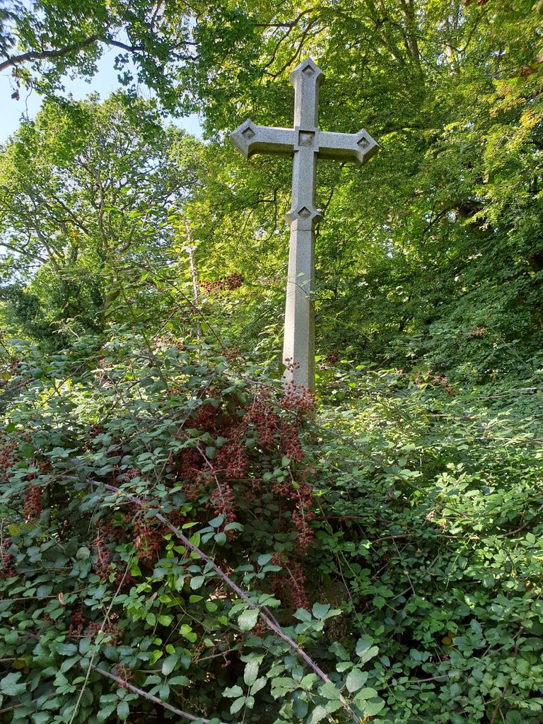
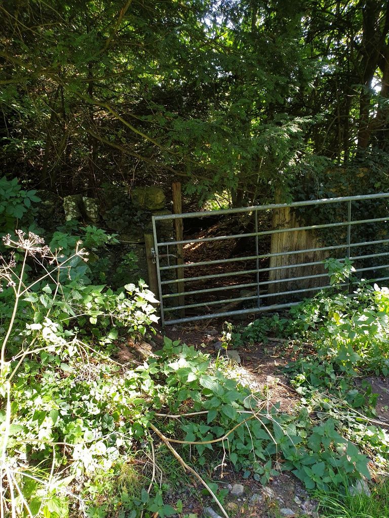
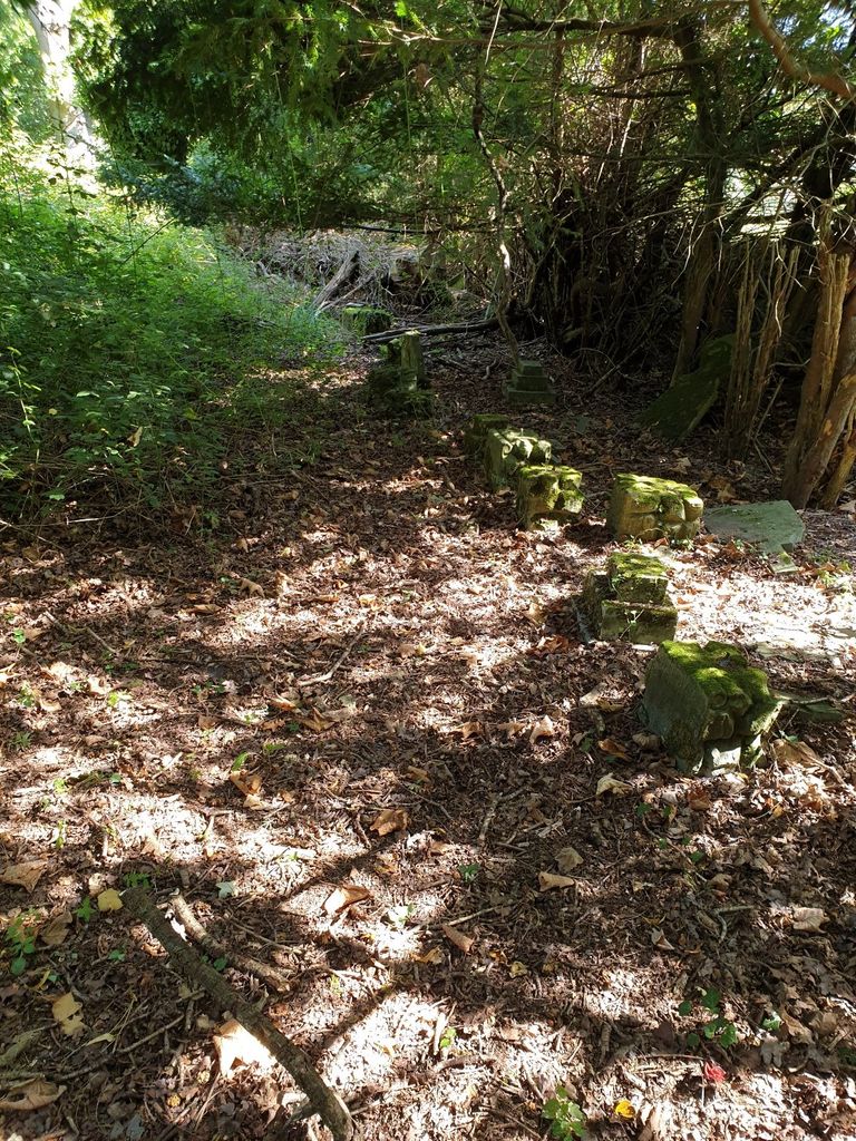
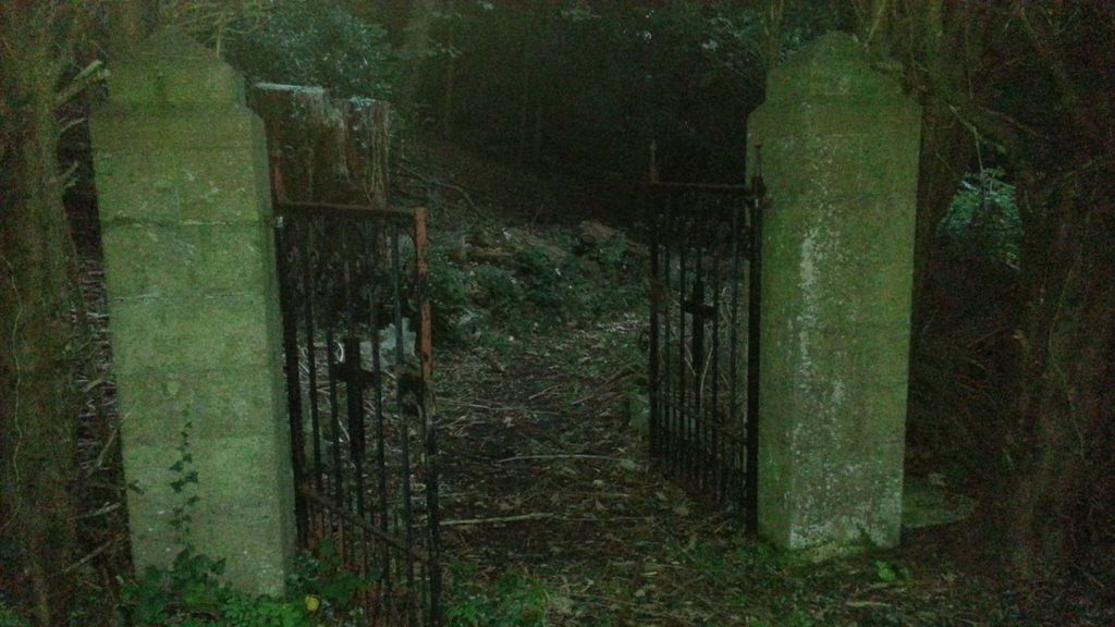
| Description | : | The St Michael's and All Saints Home, Axbridge, Somerset, was a sanatorium and convalescent home. Matilda Blanche Gibbs, wife of William Gibbs of Tyntesfield, Wraxall, founded the home. They had seven children, three of whom died from pulmonary tuberculosis. After the death of her children, she realised that patients needed longer care than hospitals could provide, so she decided to build a convalescent home. William Butterfield was appointed to design the home and chapel. Her youngest daughter, who died in 1874, had been an associate of the Community of St. Peter, an Anglican Sisterhood devoted to nursing, and the sisters... Read More |
frequently asked questions (FAQ):
-
Where is St. Michael Sanatorium Cemetery?
St. Michael Sanatorium Cemetery is located at Axbridge, Sedgemoor District ,Somerset ,England.
-
St. Michael Sanatorium Cemetery cemetery's updated grave count on graveviews.com?
1 memorials
-
Where are the coordinates of the St. Michael Sanatorium Cemetery?
Latitude: 51.2904100
Longitude: -2.8056900
Nearby Cemetories:
1. St. John the Baptist Churchyard
Axbridge, Sedgemoor District, England
Coordinate: 51.2876300, -2.8162900
2. Cheddar Baptist Burial Ground
Cheddar, Sedgemoor District, England
Coordinate: 51.2767330, -2.7792010
3. St Leonard's Churchyard
Shipham, Sedgemoor District, England
Coordinate: 51.3130980, -2.8001830
4. St. Andrew's Churchyard
Cheddar, Sedgemoor District, England
Coordinate: 51.2736740, -2.7761330
5. St. James the Great Churchyard
Winscombe, North Somerset Unitary Authority, England
Coordinate: 51.3059750, -2.8456900
6. St Gregory Churchyard
Weare, Sedgemoor District, England
Coordinate: 51.2699900, -2.8408600
7. Shipham Cemetery
Shipham, Sedgemoor District, England
Coordinate: 51.3201930, -2.7992390
8. St Michael and All Angels
Rowberrow, North Somerset Unitary Authority, England
Coordinate: 51.3240000, -2.7915000
9. Winscombe and Sandford Cemetery
Winscombe, North Somerset Unitary Authority, England
Coordinate: 51.3223861, -2.8386889
10. Saint Andrew Churchyard
Compton Bishop, Sedgemoor District, England
Coordinate: 51.2943290, -2.8678900
11. St Congar Churchyard
Badgworth, Sedgemoor District, England
Coordinate: 51.2699300, -2.8674000
12. Methodist Church Burial Ground
Churchill, North Somerset Unitary Authority, England
Coordinate: 51.3344140, -2.8000610
13. St. Peter's Churchyard
Draycott, Mendip District, England
Coordinate: 51.2580900, -2.7523800
14. Saint John the Baptist Churchyard
Churchill, North Somerset Unitary Authority, England
Coordinate: 51.3384750, -2.8092710
15. Allerton Churchyard
Chapel Allerton, Sedgemoor District, England
Coordinate: 51.2479860, -2.8482400
16. St Mary's Church
Lower Langford, North Somerset Unitary Authority, England
Coordinate: 51.3399805, -2.7813469
17. St. Andrew's Churchyard
Banwell, North Somerset Unitary Authority, England
Coordinate: 51.3280700, -2.8637000
18. Banwell War Memorial
Banwell, North Somerset Unitary Authority, England
Coordinate: 51.3278233, -2.8648124
19. St. John the Baptist Churchyard
Biddisham, Sedgemoor District, England
Coordinate: 51.2764090, -2.8878950
20. Holy Trinity Churchyard
Burrington, North Somerset Unitary Authority, England
Coordinate: 51.3307830, -2.7496010
21. St Andrew's Church
Loxton, North Somerset Unitary Authority, England
Coordinate: 51.2981560, -2.8962140
22. Langford Chapelyard
Lower Langford, North Somerset Unitary Authority, England
Coordinate: 51.3434850, -2.7715630
23. The Blessed Virgin Mary
Axbridge, Sedgemoor District, England
Coordinate: 51.3112017, -2.8913443
24. St. Mary Magdalene Churchyard Extension
Wedmore, Sedgemoor District, England
Coordinate: 51.2327583, -2.8065246