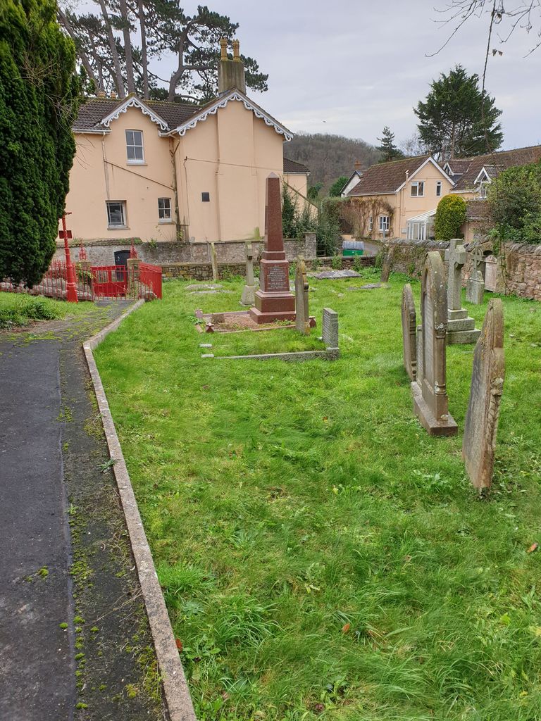
| Memorials | : | 1 |
| Location | : | Churchill, North Somerset Unitary Authority, England |
| Website | : | www.churchillmethodistchurch.org.uk/ |
| Coordinate | : | 51.3344140, -2.8000610 |
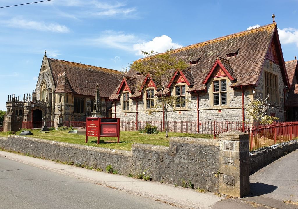
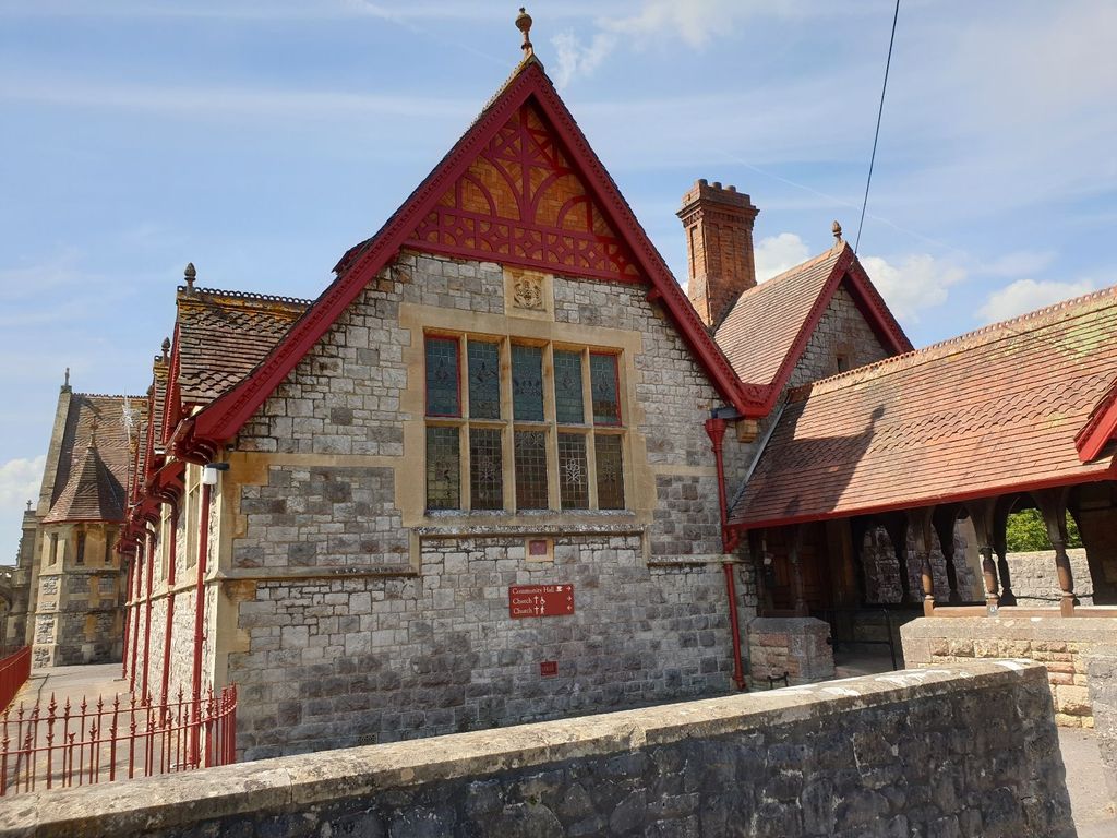
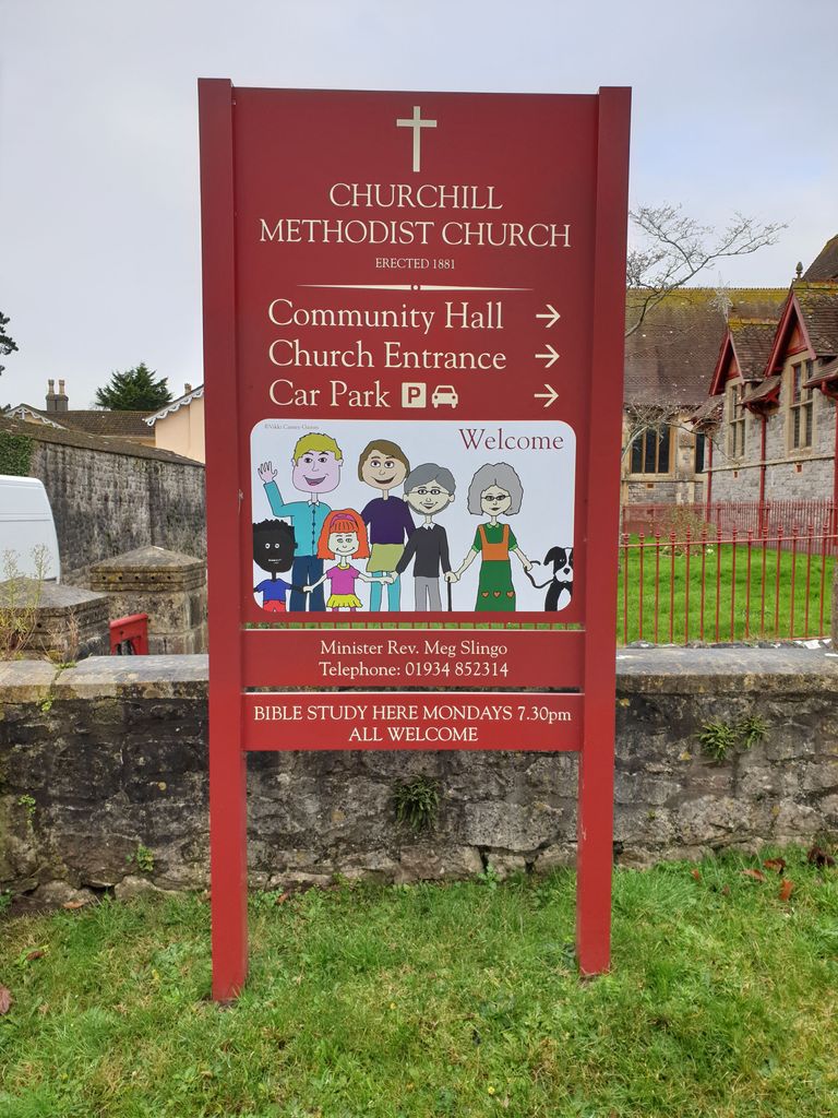
| Description | : | Methodists in Churchill would meet at a private home (society meetings), until the autumn of 1835, when the first chapel was opened. This chapel was demolished in 1880 so that Sidney Hill could erect a new Wesleyan church on adjacent land gifted by William Bobbett. Hill erected the new church as a memorial to his wife Mary Ann Bobbett after after her early death in 1874. The new church was designed by Foster and Wood of Bristol in Perpendicular Gothic style, and erected by William Veals, master builder of Bristol, at a cost of £3,300. The church opened on 2... Read More |
frequently asked questions (FAQ):
-
Where is Methodist Church Burial Ground?
Methodist Church Burial Ground is located at Front Street Churchill, North Somerset Unitary Authority ,Somerset , BS25 5NGEngland.
-
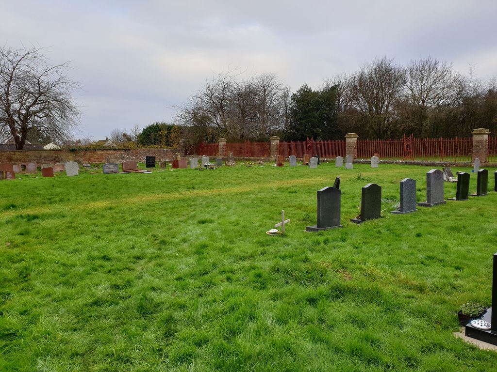
Methodist Church Burial Ground cemetery's updated grave count on graveviews.com?
1 memorials
-
Where are the coordinates of the Methodist Church Burial Ground?
Latitude: 51.3344140
Longitude: -2.8000610
Nearby Cemetories:
1. Saint John the Baptist Churchyard
Churchill, North Somerset Unitary Authority, England
Coordinate: 51.3384750, -2.8092710
2. St Michael and All Angels
Rowberrow, North Somerset Unitary Authority, England
Coordinate: 51.3240000, -2.7915000
3. St Mary's Church
Lower Langford, North Somerset Unitary Authority, England
Coordinate: 51.3399805, -2.7813469
4. Shipham Cemetery
Shipham, Sedgemoor District, England
Coordinate: 51.3201930, -2.7992390
5. Langford Chapelyard
Lower Langford, North Somerset Unitary Authority, England
Coordinate: 51.3434850, -2.7715630
6. St Leonard's Churchyard
Shipham, Sedgemoor District, England
Coordinate: 51.3130980, -2.8001830
7. Winscombe and Sandford Cemetery
Winscombe, North Somerset Unitary Authority, England
Coordinate: 51.3223861, -2.8386889
8. Holy Trinity Churchyard
Burrington, North Somerset Unitary Authority, England
Coordinate: 51.3307830, -2.7496010
9. All Saints Churchyard
Wrington, North Somerset Unitary Authority, England
Coordinate: 51.3610710, -2.7657110
10. St Andrew Churchyard
Congresbury, North Somerset Unitary Authority, England
Coordinate: 51.3701100, -2.8121320
11. Wrington Chapel
Wrington, North Somerset Unitary Authority, England
Coordinate: 51.3651900, -2.7638270
12. St. Andrew's Churchyard
Banwell, North Somerset Unitary Authority, England
Coordinate: 51.3280700, -2.8637000
13. St. James the Great Churchyard
Winscombe, North Somerset Unitary Authority, England
Coordinate: 51.3059750, -2.8456900
14. Banwell War Memorial
Banwell, North Somerset Unitary Authority, England
Coordinate: 51.3278233, -2.8648124
15. St. Michael Sanatorium Cemetery
Axbridge, Sedgemoor District, England
Coordinate: 51.2904100, -2.8056900
16. Holy Saviour Churchyard
Puxton, North Somerset Unitary Authority, England
Coordinate: 51.3652680, -2.8536510
17. St. John the Baptist Churchyard
Axbridge, Sedgemoor District, England
Coordinate: 51.2876300, -2.8162900
18. Yatton Parish Council Burial Grounds
Yatton, North Somerset Unitary Authority, England
Coordinate: 51.3840541, -2.8182519
19. St. Mary's Churchyard
Yatton, North Somerset Unitary Authority, England
Coordinate: 51.3847720, -2.8185510
20. St Andrew Churchyard
Blagdon, North Somerset Unitary Authority, England
Coordinate: 51.3275610, -2.7127710
21. Christ Church Churchyard
Redhill, North Somerset Unitary Authority, England
Coordinate: 51.3657790, -2.7245240
22. St Anne's Church Hewish
Weston-super-Mare, North Somerset Unitary Authority, England
Coordinate: 51.3740520, -2.8666300
23. Holy Trinity Churchyard
Cleeve, North Somerset Unitary Authority, England
Coordinate: 51.3908200, -2.7773600
24. Saint Andrew Churchyard
Compton Bishop, Sedgemoor District, England
Coordinate: 51.2943290, -2.8678900

