
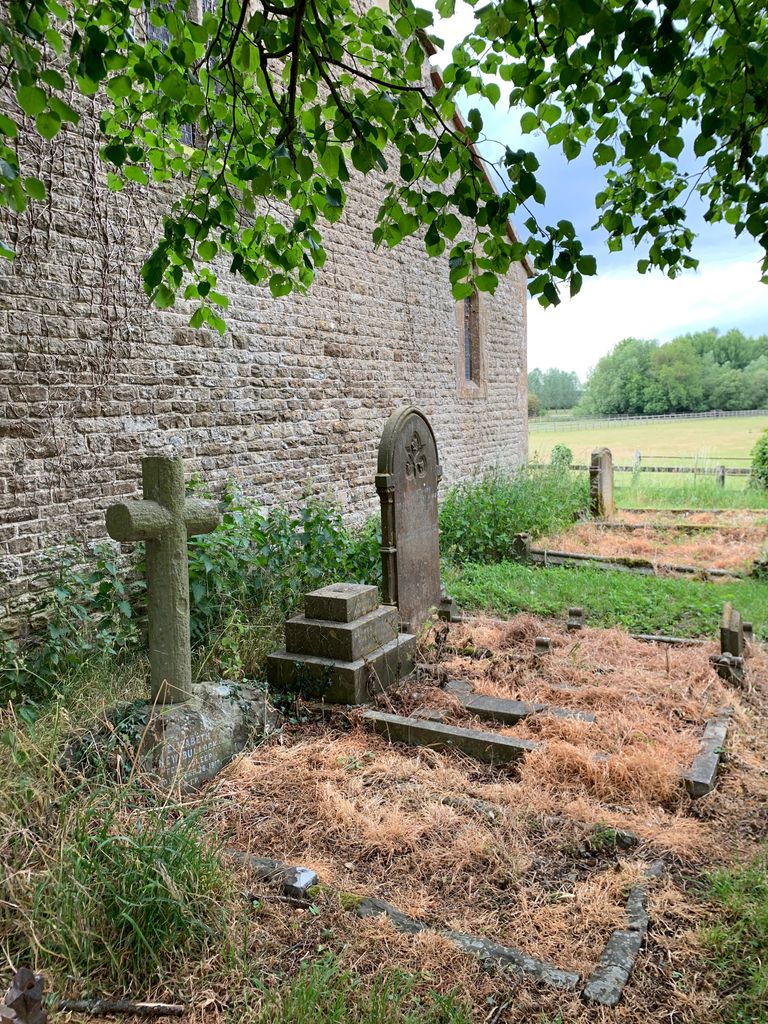
| Memorials | : | 0 |
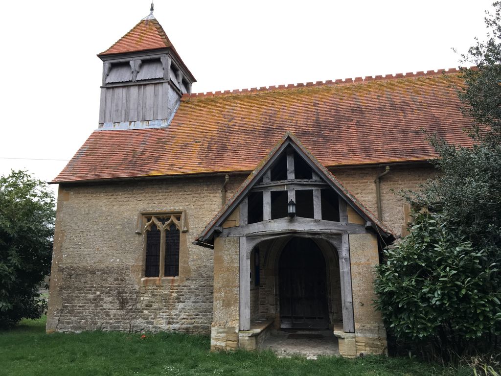
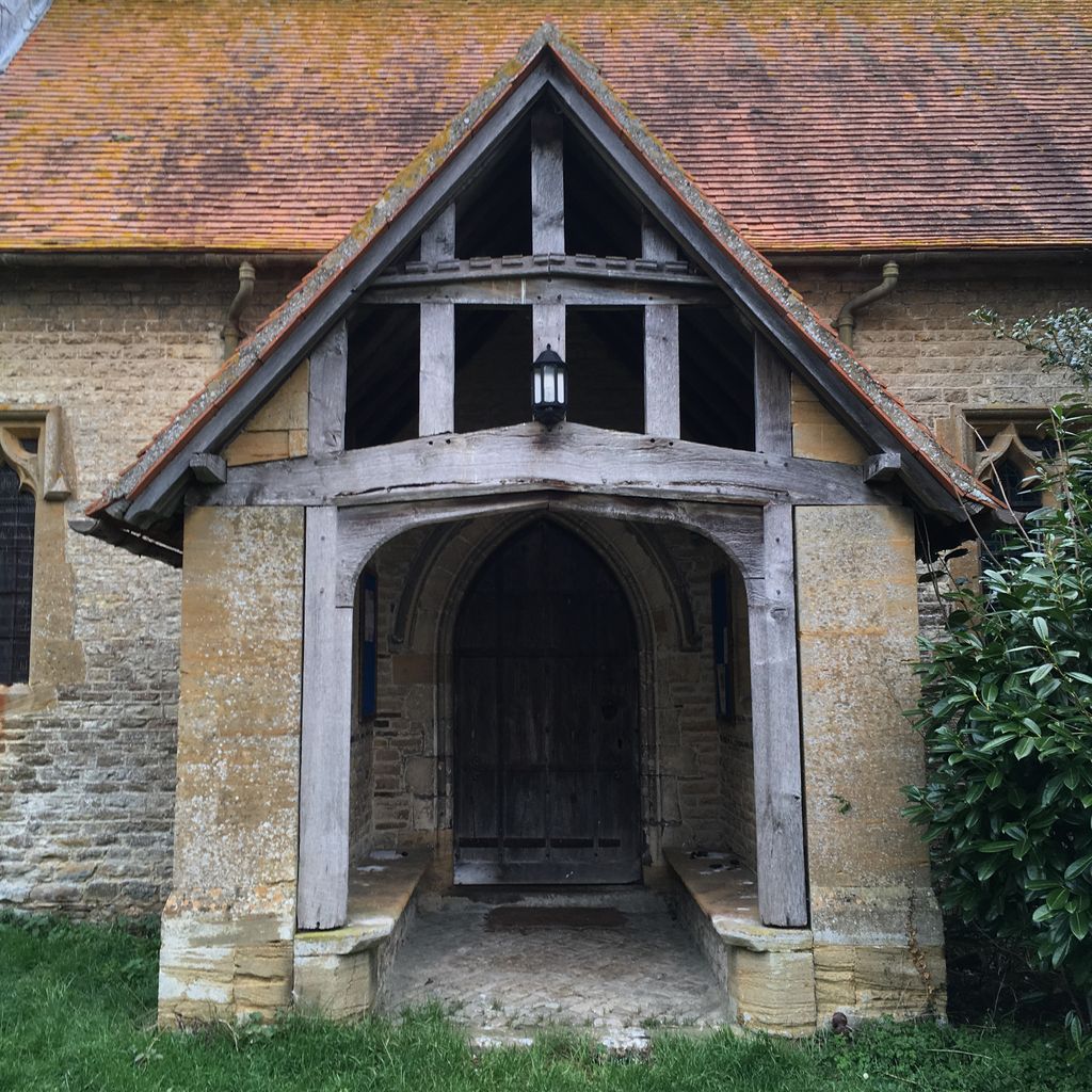
| Location | : | Garford, Vale of White Horse District, England |
| Coordinate | : | 51.6637514, -1.3815467 |
frequently asked questions (FAQ):
-
Where is St. Luke's Churchyard?
St. Luke's Churchyard is located at Garford, Vale of White Horse District ,Oxfordshire , OX13 5PBEngland.
-
St. Luke's Churchyard cemetery's updated grave count on graveviews.com?
0 memorials
-
Where are the coordinates of the St. Luke's Churchyard?
Latitude: 51.6637514
Longitude: -1.3815467
Nearby Cemetories:
1. South Oxfordshire Memorial Park and Crematorium
Garford, Vale of White Horse District, England
Coordinate: 51.6535980, -1.3767840
2. All Saints Churchyard
Marcham, Vale of White Horse District, England
Coordinate: 51.6676980, -1.3496990
3. St Nicholas Churchyard
Fyfield, Vale of White Horse District, England
Coordinate: 51.6871100, -1.3888600
4. St. John the Baptist Churchyard
Kingston Bagpuize, Vale of White Horse District, England
Coordinate: 51.6820690, -1.4127410
5. St. Lawrence Churchyard
Tubney, Vale of White Horse District, England
Coordinate: 51.6903100, -1.3712600
6. St. James The Great Churchyard
West Hanney, Vale of White Horse District, England
Coordinate: 51.6325030, -1.4144360
7. St Mary's Churchyard
Lyford, Vale of White Horse District, England
Coordinate: 51.6456433, -1.4371256
8. St. Peter Churchyard
Charney Bassett, Vale of White Horse District, England
Coordinate: 51.6472944, -1.4501905
9. St. Mary Magdalene Churchyard
Shippon, Vale of White Horse District, England
Coordinate: 51.6788360, -1.3060940
10. Saint Mary Churchyard
Longworth, Vale of White Horse District, England
Coordinate: 51.6926577, -1.4457428
11. St Laurence Church
Appleton, Vale of White Horse District, England
Coordinate: 51.7110290, -1.3588780
12. Saint Lawrence Churchyard
Bessels Leigh, Vale of White Horse District, England
Coordinate: 51.7065220, -1.3409750
13. St. Peter Churchyard Extension
Drayton, Vale of White Horse District, England
Coordinate: 51.6440300, -1.3073700
14. St Peter Churchyard
Drayton, Vale of White Horse District, England
Coordinate: 51.6440000, -1.3070340
15. St. Helen Churchyard
Dry Sandford, Vale of White Horse District, England
Coordinate: 51.7003000, -1.3247100
16. Drayton Burial Ground
Drayton, Vale of White Horse District, England
Coordinate: 51.6443618, -1.3055533
17. Spring Garden Cemetery
Abingdon, Vale of White Horse District, England
Coordinate: 51.6750410, -1.2970850
18. Spring Road Cemetery
Abingdon, Vale of White Horse District, England
Coordinate: 51.6722620, -1.2951410
19. St Michaels and All Angels Churchyard
Steventon, Vale of White Horse District, England
Coordinate: 51.6196200, -1.3305500
20. St. Margaret Churchyard
Hinton Waldrist, Vale of White Horse District, England
Coordinate: 51.6894380, -1.4587200
21. St Margaret of Antioch Churchyard Extension
Hinton Waldrist, Vale of White Horse District, England
Coordinate: 51.6911016, -1.4589705
22. Grove Cemetery
Grove, Vale of White Horse District, England
Coordinate: 51.6160002, -1.4299708
23. St. John the Baptist Churchyard
Grove, Vale of White Horse District, England
Coordinate: 51.6112858, -1.4204966
24. Abingdon Baptist Church Burial Ground
Abingdon, Vale of White Horse District, England
Coordinate: 51.6700100, -1.2870810