
| Memorials | : | 7 |
| Location | : | Hinton Waldrist, Vale of White Horse District, England |
| Coordinate | : | 51.6894380, -1.4587200 |
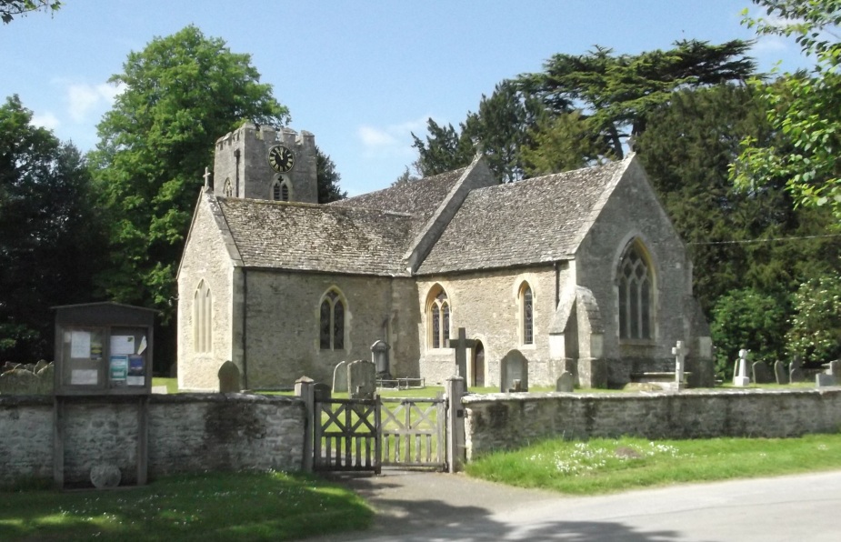
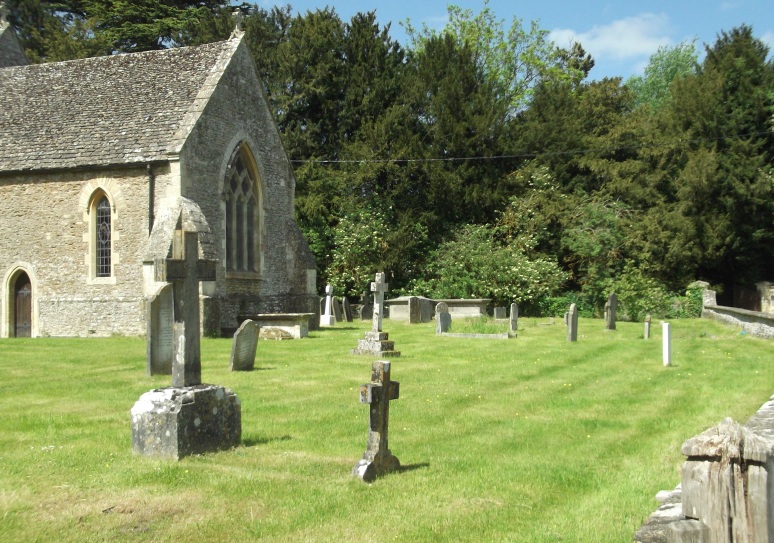
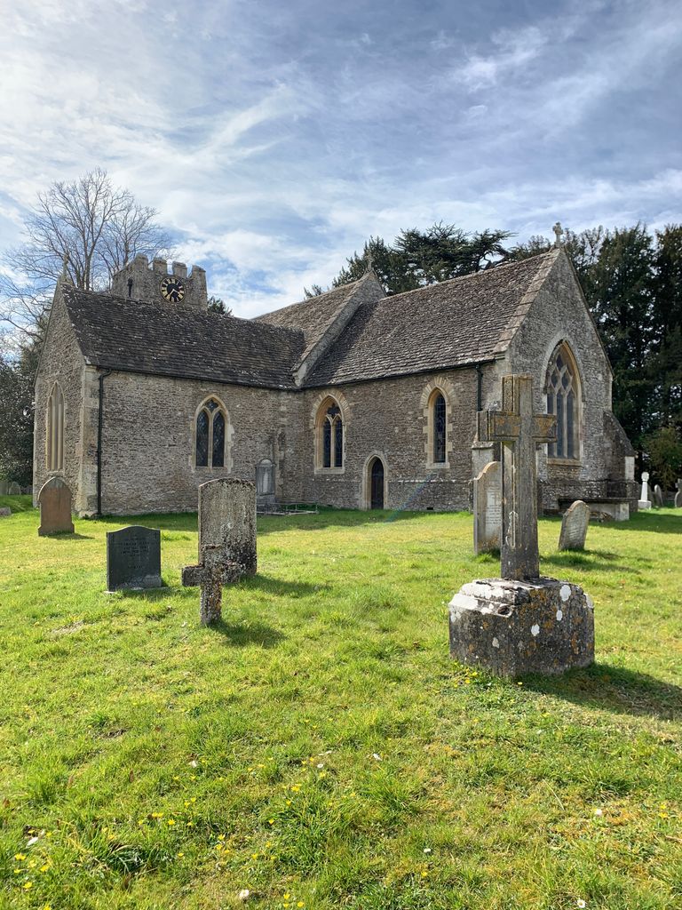
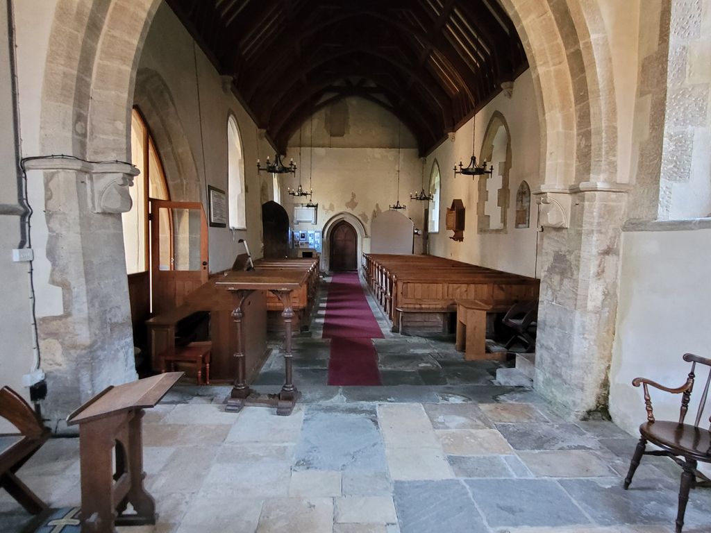
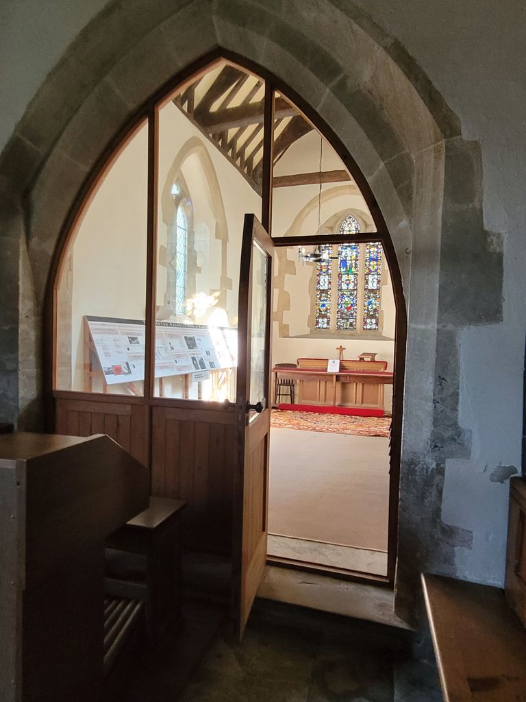
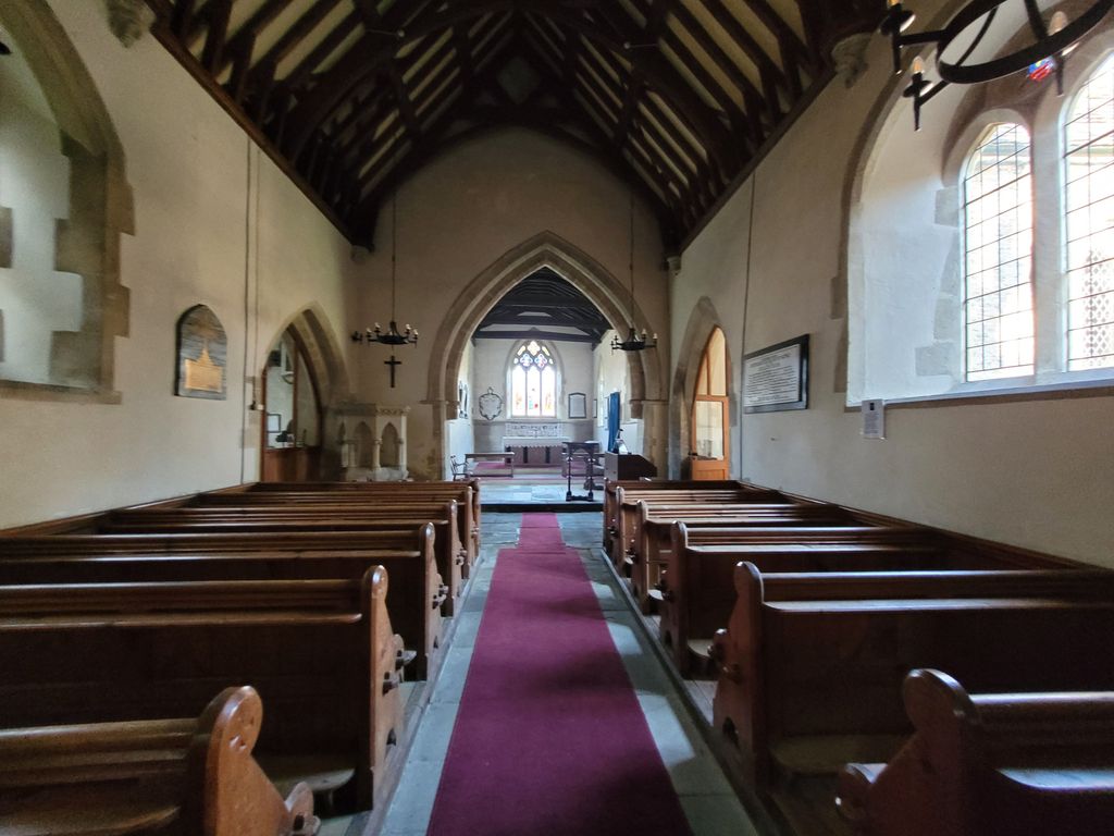
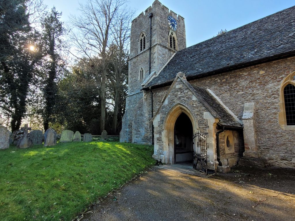
| Description | : | Hinton Waldrist: St Margaret : Hinton Waldrist, Hinton Waldrist, Oxfordshire, SN7 8SA-formerly in Berkshire. |
frequently asked questions (FAQ):
-
Where is St. Margaret Churchyard?
St. Margaret Churchyard is located at Hinton Waldrist, Vale of White Horse District ,Oxfordshire , SN7 8SAEngland.
-
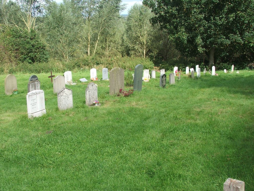
St. Margaret Churchyard cemetery's updated grave count on graveviews.com?
4 memorials
-
Where are the coordinates of the St. Margaret Churchyard?
Latitude: 51.6894380
Longitude: -1.4587200
Nearby Cemetories:
1. St Margaret of Antioch Churchyard Extension
Hinton Waldrist, Vale of White Horse District, England
Coordinate: 51.6911016, -1.4589705
2. Saint Mary Churchyard
Longworth, Vale of White Horse District, England
Coordinate: 51.6926577, -1.4457428
3. St Marys Churchyard
Shifford, West Oxfordshire District, England
Coordinate: 51.7151440, -1.4631340
4. All Saints Church
Pusey, Vale of White Horse District, England
Coordinate: 51.6663890, -1.4801330
5. St. John the Baptist Churchyard
Kingston Bagpuize, Vale of White Horse District, England
Coordinate: 51.6820690, -1.4127410
6. St Mary Churchyard
Buckland, Vale of White Horse District, England
Coordinate: 51.6819730, -1.5060150
7. St George Roman Catholic Churchyard
Buckland, Vale of White Horse District, England
Coordinate: 51.6804300, -1.5068720
8. Cote Baptist Chapel
Cote, West Oxfordshire District, England
Coordinate: 51.7254430, -1.4929510
9. St. Peter Churchyard
Charney Bassett, Vale of White Horse District, England
Coordinate: 51.6472944, -1.4501905
10. St Nicholas Churchyard
Fyfield, Vale of White Horse District, England
Coordinate: 51.6871100, -1.3888600
11. St. Giles' Churchyard
Standlake, West Oxfordshire District, England
Coordinate: 51.7299550, -1.4262300
12. St Mary's Churchyard
Lyford, Vale of White Horse District, England
Coordinate: 51.6456433, -1.4371256
13. St. James the Great Churchyard
Aston, West Oxfordshire District, England
Coordinate: 51.7252620, -1.5059510
14. St George's Parish Church
Hatford, Vale of White Horse District, England
Coordinate: 51.6510000, -1.5120000
15. St. Denys' Churchyard
Northmoor, West Oxfordshire District, England
Coordinate: 51.7230000, -1.3918000
16. St. Lawrence Churchyard
Tubney, Vale of White Horse District, England
Coordinate: 51.6903100, -1.3712600
17. St. Luke's Churchyard
Garford, Vale of White Horse District, England
Coordinate: 51.6637514, -1.3815467
18. St Deny's Churchyard
Stanford-in-the-Vale, Vale of White Horse District, England
Coordinate: 51.6399960, -1.5062800
19. Littleworth Cemetery
Littleworth, Vale of White Horse District, England
Coordinate: 51.6722500, -1.5492500
20. South Oxfordshire Memorial Park and Crematorium
Garford, Vale of White Horse District, England
Coordinate: 51.6535980, -1.3767840
21. St. James The Great Churchyard
West Hanney, Vale of White Horse District, England
Coordinate: 51.6325030, -1.4144360
22. St Laurence Church
Appleton, Vale of White Horse District, England
Coordinate: 51.7110290, -1.3588780
23. St. James The Great Churchyard
Denchworth, Vale of White Horse District, England
Coordinate: 51.6229400, -1.4507800
24. St. Mary the Virgin Churchyard
Bampton, West Oxfordshire District, England
Coordinate: 51.7278250, -1.5487270