
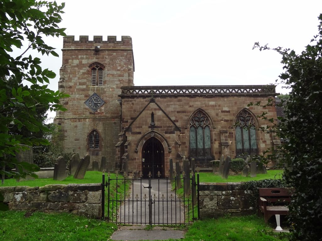
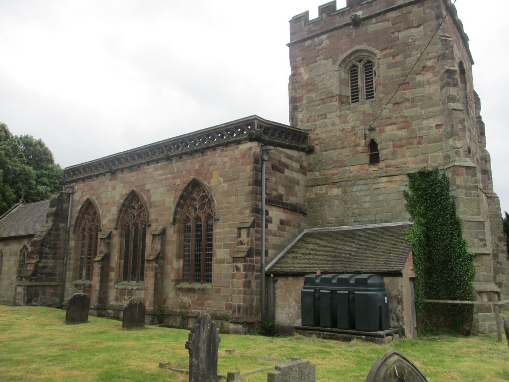
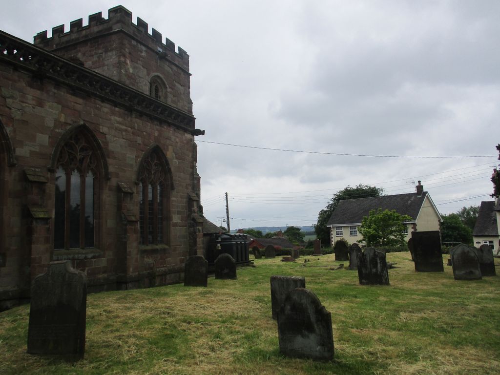
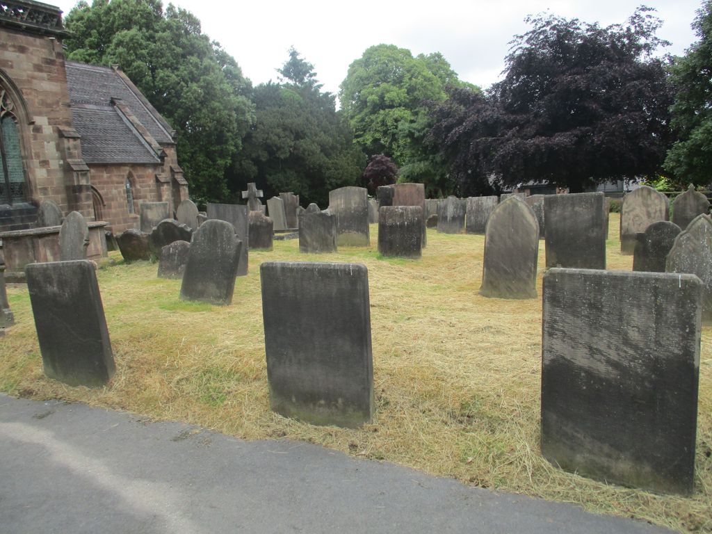
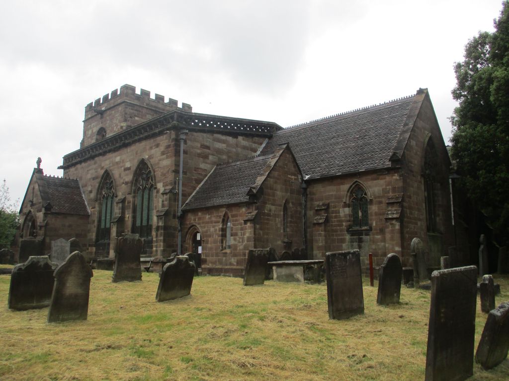
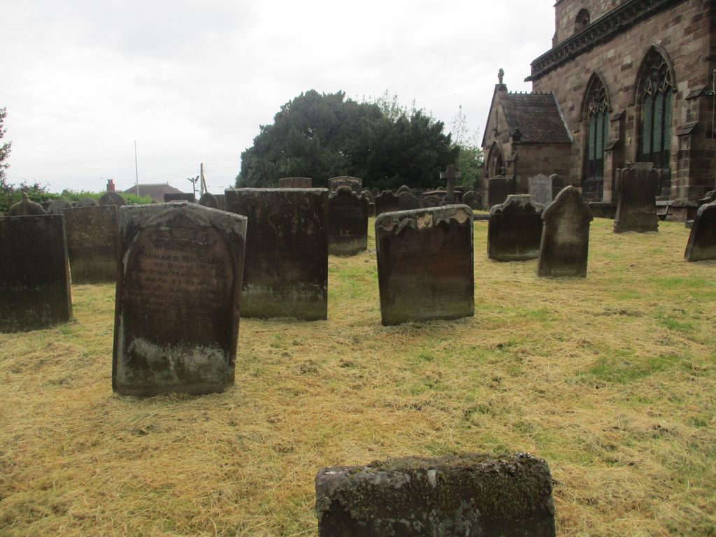
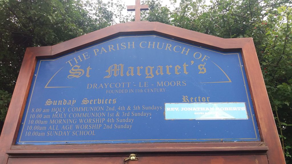
| Memorials | : | 0 |
| Location | : | Draycott, Staffordshire Moorlands District, England |
| Coordinate | : | 52.9594640, -2.0297030 |
frequently asked questions (FAQ):
-
Where is St. Margaret Churchyard?
St. Margaret Churchyard is located at Draycott, Staffordshire Moorlands District ,Staffordshire ,England.
-
St. Margaret Churchyard cemetery's updated grave count on graveviews.com?
0 memorials
-
Where are the coordinates of the St. Margaret Churchyard?
Latitude: 52.9594640
Longitude: -2.0297030
Nearby Cemetories:
1. St Peter Churchyard
Forsbrook, Staffordshire Moorlands District, England
Coordinate: 52.9675780, -2.0593040
2. Christ Church Churchyard
Upper Tean, Staffordshire Moorlands District, England
Coordinate: 52.9529687, -1.9831798
3. All Saints Churchyard
Dilhorne, Staffordshire Moorlands District, England
Coordinate: 52.9875710, -2.0452820
4. St Nicholas Churchyard
Fulford, Stafford Borough, England
Coordinate: 52.9428060, -2.0722970
5. St Peter Churchyard
Caverswall, Staffordshire Moorlands District, England
Coordinate: 52.9824410, -2.0733810
6. St Chad Churchyard
Cheadle, Staffordshire Moorlands District, England
Coordinate: 52.9675320, -1.9729500
7. St Giles ROman Catholic Churchyard
Cheadle, Staffordshire Moorlands District, England
Coordinate: 52.9860280, -1.9889960
8. St. Mary and All Saints Churchyard
Checkley, Staffordshire Moorlands District, England
Coordinate: 52.9384190, -1.9598100
9. All Saints Churchyard
Leigh, East Staffordshire Borough, England
Coordinate: 52.9199520, -1.9657840
10. Christ Church Churchyard
Hilderstone, Stafford Borough, England
Coordinate: 52.9100990, -2.0755470
11. All Saints Churchyard
Moddershall, Stafford Borough, England
Coordinate: 52.9296310, -2.1126940
12. Resurrection Churchyard
Dresden, Stoke-on-Trent Unitary Authority, England
Coordinate: 52.9781480, -2.1317140
13. St. James the Less Churchyard
Longton, Stoke-on-Trent Unitary Authority, England
Coordinate: 52.9854360, -2.1291320
14. St. Werburgh Churchyard
Kingsley, Staffordshire Moorlands District, England
Coordinate: 53.0195390, -1.9815730
15. Longton Garden of Remembrance
Longton, Stoke-on-Trent Unitary Authority, England
Coordinate: 52.9831560, -2.1359530
16. Longton Cemetery
Longton, Stoke-on-Trent Unitary Authority, England
Coordinate: 52.9833150, -2.1380000
17. St Leonard Churchyard
Bradley in the Moors, Staffordshire Moorlands District, England
Coordinate: 52.9693440, -1.9135150
18. St. Paul's Cemetery
Longton, Stoke-on-Trent Unitary Authority, England
Coordinate: 52.9840874, -2.1408574
19. Baptist Chapel Churchyard Cemetery
Walkern, East Hertfordshire District, England
Coordinate: 53.0228400, -1.9644900
20. All Saints Churchyard
Milwich, Stafford Borough, England
Coordinate: 52.8852590, -2.0443610
21. St. Bartholomews Churchyard
Stoke-on-Trent Unitary Authority, England
Coordinate: 52.9743050, -2.1519670
22. Croxden Abbey
Croxden, East Staffordshire Borough, England
Coordinate: 52.9549890, -1.9042630
23. Holy Trinity Churchyard
Oakamoor, Staffordshire Moorlands District, England
Coordinate: 53.0003870, -1.9236580
24. St John the Evangelist
Oulton, Stafford Borough, England
Coordinate: 52.9159400, -2.1330400