
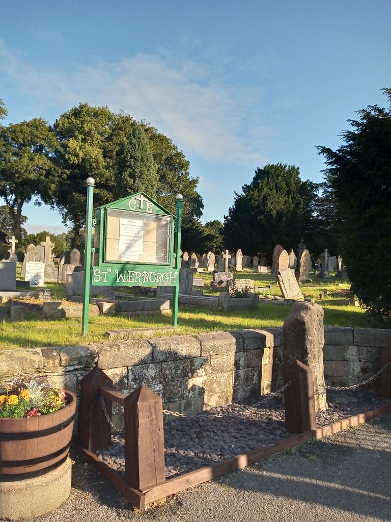
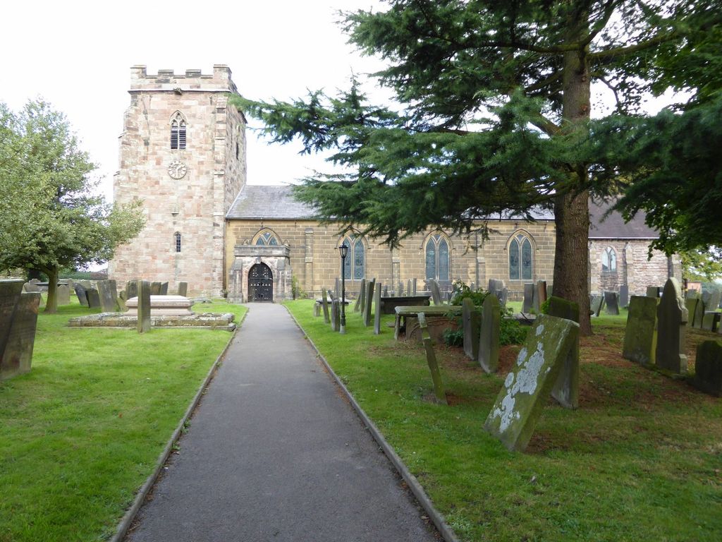
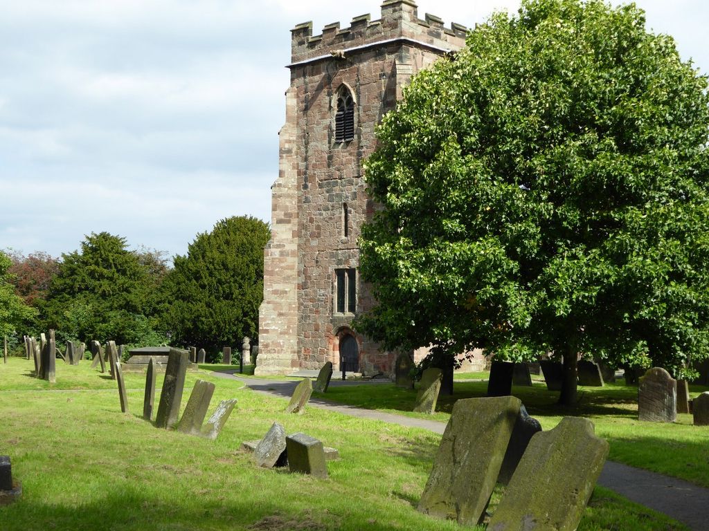
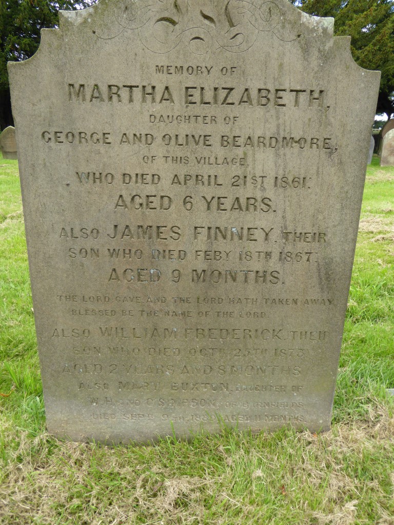
| Memorials | : | 0 |
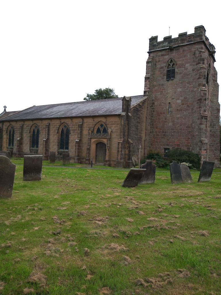
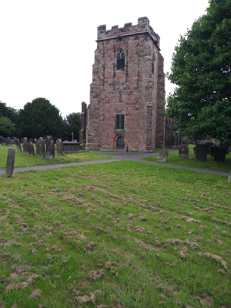
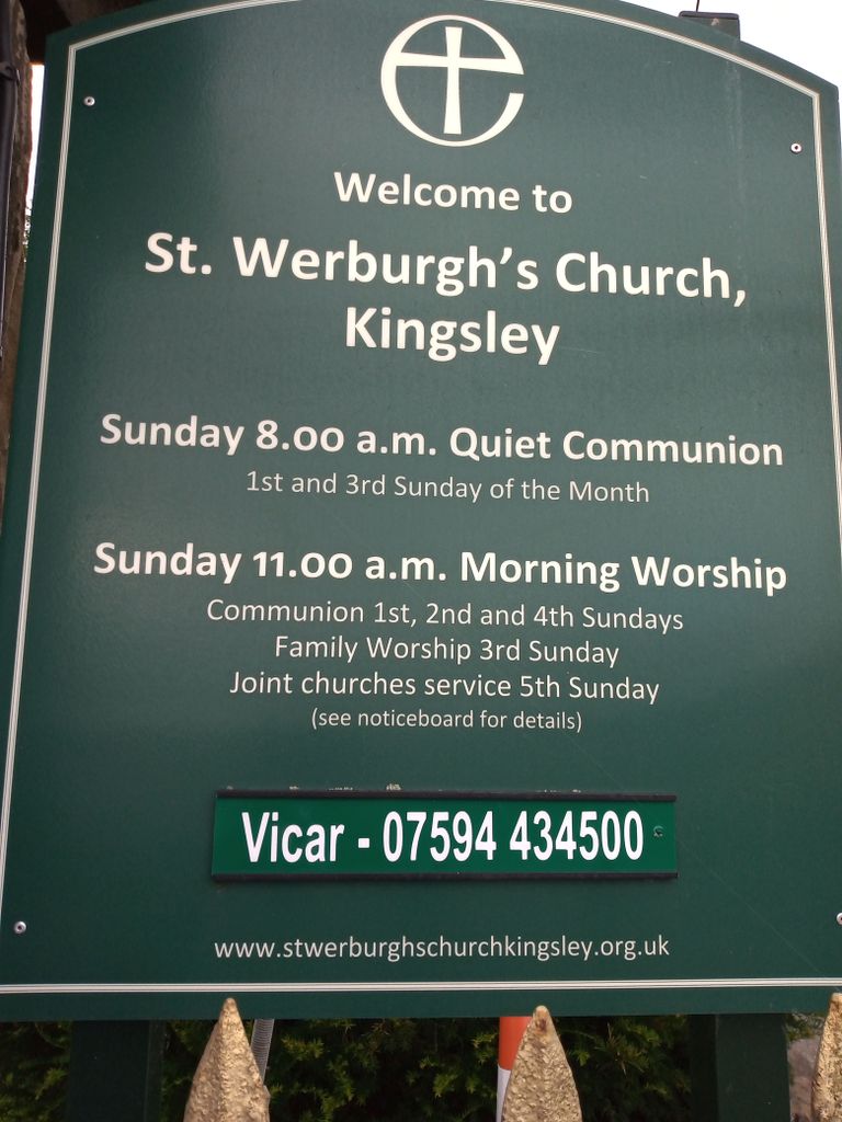
| Location | : | Kingsley, Staffordshire Moorlands District, England |
| Coordinate | : | 53.0195390, -1.9815730 |
frequently asked questions (FAQ):
-
Where is St. Werburgh Churchyard?
St. Werburgh Churchyard is located at Kingsley, Staffordshire Moorlands District ,Staffordshire ,England.
-
St. Werburgh Churchyard cemetery's updated grave count on graveviews.com?
0 memorials
-
Where are the coordinates of the St. Werburgh Churchyard?
Latitude: 53.0195390
Longitude: -1.9815730
Nearby Cemetories:
1. Baptist Chapel Churchyard Cemetery
Walkern, East Hertfordshire District, England
Coordinate: 53.0228400, -1.9644900
2. St Mildred Churchyard
Whiston, Staffordshire Moorlands District, England
Coordinate: 53.0211310, -1.9477990
3. St. Mark the Evangelist Churchyard
Foxt, Staffordshire Moorlands District, England
Coordinate: 53.0362440, -1.9473820
4. St Giles ROman Catholic Churchyard
Cheadle, Staffordshire Moorlands District, England
Coordinate: 52.9860280, -1.9889960
5. Holy Trinity Churchyard
Oakamoor, Staffordshire Moorlands District, England
Coordinate: 53.0003870, -1.9236580
6. Cotton Cemetery
Cotton, Staffordshire Moorlands District, England
Coordinate: 53.0188110, -1.9113960
7. St. John the Baptist Churchyard
Cotton, Staffordshire Moorlands District, England
Coordinate: 53.0150546, -1.9026792
8. St John the Baptist Churchyard
Wetley Rocks, Staffordshire Moorlands District, England
Coordinate: 53.0409100, -2.0555020
9. All Saints Churchyard
Dilhorne, Staffordshire Moorlands District, England
Coordinate: 52.9875710, -2.0452820
10. St Chad Churchyard
Cheadle, Staffordshire Moorlands District, England
Coordinate: 52.9675320, -1.9729500
11. St Edward the Confessor Churchyard
Cheddleton, Staffordshire Moorlands District, England
Coordinate: 53.0689530, -2.0448230
12. St Mary and St Laurence Churchyard
Cauldon, Staffordshire Moorlands District, England
Coordinate: 53.0423040, -1.8845550
13. St Edwards Lawn Cemetery
Cheddleton, Staffordshire Moorlands District, England
Coordinate: 53.0744437, -2.0385063
14. St Leonard Churchyard
Bradley in the Moors, Staffordshire Moorlands District, England
Coordinate: 52.9693440, -1.9135150
15. St Peter Churchyard
Caverswall, Staffordshire Moorlands District, England
Coordinate: 52.9824410, -2.0733810
16. Christ Church Churchyard
Upper Tean, Staffordshire Moorlands District, England
Coordinate: 52.9529687, -1.9831798
17. St. Margaret Churchyard
Draycott, Staffordshire Moorlands District, England
Coordinate: 52.9594640, -2.0297030
18. St John Churchyard
Alton, Staffordshire Moorlands District, England
Coordinate: 52.9783380, -1.8919190
19. St. Peter's Churchyard
Alton, Staffordshire Moorlands District, England
Coordinate: 52.9783470, -1.8918600
20. St Peter Churchyard
Forsbrook, Staffordshire Moorlands District, England
Coordinate: 52.9675780, -2.0593040
21. St. James and St. Bartholomew Churchyard
Waterfall, Staffordshire Moorlands District, England
Coordinate: 53.0620350, -1.8791780
22. Croxden Abbey
Croxden, East Staffordshire Borough, England
Coordinate: 52.9549890, -1.9042630
23. St. Luke Churchyard
Onecote, Staffordshire Moorlands District, England
Coordinate: 53.0935720, -1.9289360
24. St. Mary and All Saints Churchyard
Checkley, Staffordshire Moorlands District, England
Coordinate: 52.9384190, -1.9598100