
| Memorials | : | 0 |
| Location | : | Cambridge, City of Cambridge, England |
| Coordinate | : | 52.1855200, 0.0705000 |
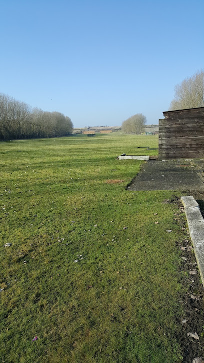
| Description | : | Original address shown by Cookie: Barton Road, Next to the Red Bull pub, Newnham, Cambridge Cambridgeshire England Postal Code: CB3 9JZ -this appears incorrect-the burial ground is opposite the MOD Rifle Range, some distance out of town-and the post code does not find the cemetery on satellite navigation devices, although the post code CB3 9JZ is apparently that for the Red Bull PH. Map corrected. |
frequently asked questions (FAQ):
-
Where is St Mark's Church Newnham Burial Ground?
St Mark's Church Newnham Burial Ground is located at Barton Road, Next to the Red Bull pub, Newnham, Cambridge, City of Cambridge ,Cambridgeshire , CB3 9JZEngland.
-
St Mark's Church Newnham Burial Ground cemetery's updated grave count on graveviews.com?
0 memorials
-
Where are the coordinates of the St Mark's Church Newnham Burial Ground?
Latitude: 52.1855200
Longitude: 0.0705000
Nearby Cemetories:
1. St Peter Churchyard
Barton, South Cambridgeshire District, England
Coordinate: 52.1818390, 0.0576870
2. Woodland Burial Ground Barton Glebe
Barton, South Cambridgeshire District, England
Coordinate: 52.1861040, 0.0463150
3. St. Andrew and St. Mary Churchyard
Grantchester, South Cambridgeshire District, England
Coordinate: 52.1787870, 0.0953110
4. St. Peter's Churchyard
Coton, South Cambridgeshire District, England
Coordinate: 52.2101310, 0.0606820
5. St Mary and St Michael Churchyard
Trumpington, City of Cambridge, England
Coordinate: 52.1738770, 0.1084820
6. Trumpington Parish Extension
Trumpington, City of Cambridge, England
Coordinate: 52.1711100, 0.1129400
7. St. Mary Churchyard
Comberton, South Cambridgeshire District, England
Coordinate: 52.1804400, 0.0225700
8. Queen's College Chapel
Cambridge, City of Cambridge, England
Coordinate: 52.2023456, 0.1162151
9. Cambridge American Cemetery and Memorial
Coton, South Cambridgeshire District, England
Coordinate: 52.2171211, 0.0552860
10. Peterhouse College
Cambridge, City of Cambridge, England
Coordinate: 52.2009000, 0.1184000
11. Little Saint Mary Churchyard
Cambridge, City of Cambridge, England
Coordinate: 52.2012650, 0.1184580
12. St Catherines College
Cambridge, City of Cambridge, England
Coordinate: 52.2030000, 0.1169000
13. St. Botolph's Churchyard
Cambridge, City of Cambridge, England
Coordinate: 52.2024360, 0.1180740
14. Kings College Chapel
Cambridge, City of Cambridge, England
Coordinate: 52.2047670, 0.1165080
15. St Benet's Church
Cambridge, City of Cambridge, England
Coordinate: 52.2038430, 0.1181450
16. St Edward King and Martyr Church
Cambridge, City of Cambridge, England
Coordinate: 52.2046860, 0.1186380
17. St Mary the Great Churchyard
Cambridge, City of Cambridge, England
Coordinate: 52.2052800, 0.1180690
18. Gonville and Caius College
Cambridge, City of Cambridge, England
Coordinate: 52.2059420, 0.1175860
19. Trinity College
Cambridge, City of Cambridge, England
Coordinate: 52.2069440, 0.1169440
20. St Michael's Churchyard
Cambridge, City of Cambridge, England
Coordinate: 52.2060170, 0.1181410
21. St Johns College
Cambridge, City of Cambridge, England
Coordinate: 52.2083270, 0.1169260
22. Ascension Parish Burial Ground
Cambridge, City of Cambridge, England
Coordinate: 52.2174070, 0.0999260
23. Holy Trinity Church
Cambridge, City of Cambridge, England
Coordinate: 52.2059890, 0.1201900
24. St Giles with St Peter Churchyard
Cambridge, City of Cambridge, England
Coordinate: 52.2110650, 0.1138330