
| Memorials | : | 0 |
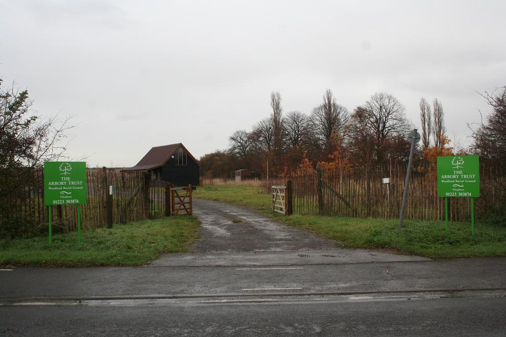
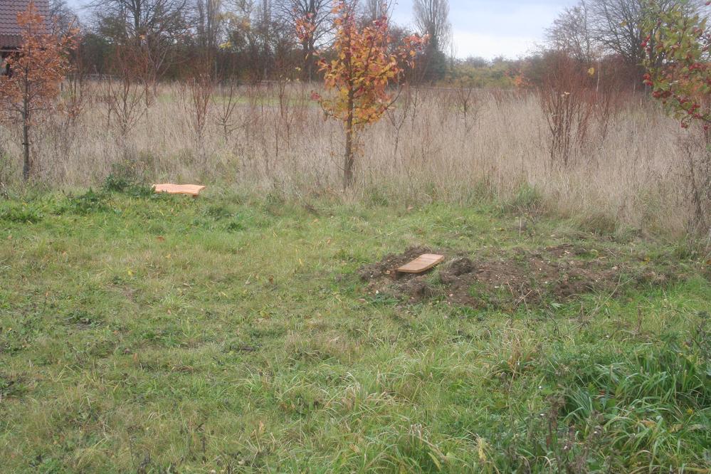
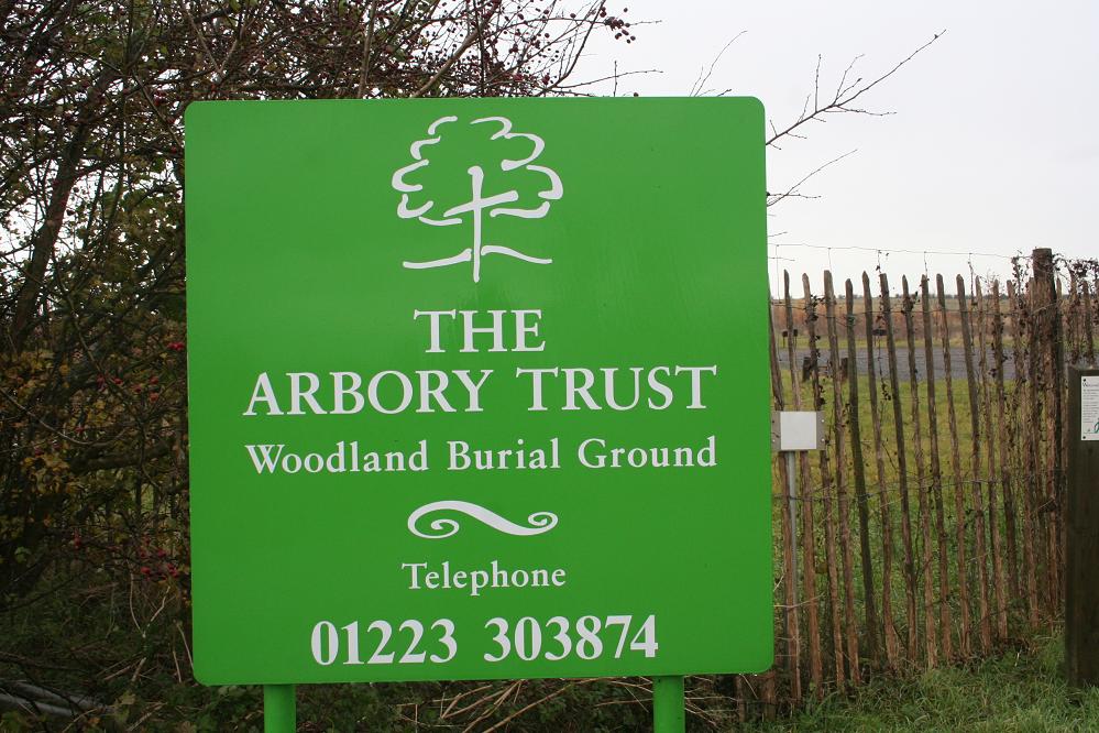
| Location | : | Barton, South Cambridgeshire District, England |
| Coordinate | : | 52.1861040, 0.0463150 |
frequently asked questions (FAQ):
-
Where is Woodland Burial Ground Barton Glebe?
Woodland Burial Ground Barton Glebe is located at Barton, South Cambridgeshire District ,Cambridgeshire ,England.
-
Woodland Burial Ground Barton Glebe cemetery's updated grave count on graveviews.com?
0 memorials
-
Where are the coordinates of the Woodland Burial Ground Barton Glebe?
Latitude: 52.1861040
Longitude: 0.0463150
Nearby Cemetories:
1. St Peter Churchyard
Barton, South Cambridgeshire District, England
Coordinate: 52.1818390, 0.0576870
2. St Mark's Church Newnham Burial Ground
Cambridge, City of Cambridge, England
Coordinate: 52.1855200, 0.0705000
3. St. Mary Churchyard
Comberton, South Cambridgeshire District, England
Coordinate: 52.1804400, 0.0225700
4. St. Peter's Churchyard
Coton, South Cambridgeshire District, England
Coordinate: 52.2101310, 0.0606820
5. St. Andrew and St. Mary Churchyard
Grantchester, South Cambridgeshire District, England
Coordinate: 52.1787870, 0.0953110
6. Cambridge American Cemetery and Memorial
Coton, South Cambridgeshire District, England
Coordinate: 52.2171211, 0.0552860
7. St Mary Churchyard
Hardwick, South Cambridgeshire District, England
Coordinate: 52.2085500, 0.0069700
8. St Andrew Churchyard
Toft, South Cambridgeshire District, England
Coordinate: 52.1834320, -0.0088580
9. St Helen Churchyard
Little Eversden, South Cambridgeshire District, England
Coordinate: 52.1609000, 0.0083300
10. All Saints Churchyard
Haslingfield, South Cambridgeshire District, England
Coordinate: 52.1497600, 0.0504370
11. St Mary Magdalene Churchyard
Madingley, South Cambridgeshire District, England
Coordinate: 52.2235570, 0.0408820
12. St Mary Churchyard
Great Eversden, South Cambridgeshire District, England
Coordinate: 52.1613300, -0.0036400
13. St Mary and St Michael Churchyard
Trumpington, City of Cambridge, England
Coordinate: 52.1738770, 0.1084820
14. Trumpington Parish Extension
Trumpington, City of Cambridge, England
Coordinate: 52.1711100, 0.1129400
15. Ascension Parish Burial Ground
Cambridge, City of Cambridge, England
Coordinate: 52.2174070, 0.0999260
16. Queen's College Chapel
Cambridge, City of Cambridge, England
Coordinate: 52.2023456, 0.1162151
17. St Catherines College
Cambridge, City of Cambridge, England
Coordinate: 52.2030000, 0.1169000
18. Peterhouse College
Cambridge, City of Cambridge, England
Coordinate: 52.2009000, 0.1184000
19. Little Saint Mary Churchyard
Cambridge, City of Cambridge, England
Coordinate: 52.2012650, 0.1184580
20. Kings College Chapel
Cambridge, City of Cambridge, England
Coordinate: 52.2047670, 0.1165080
21. St. Botolph's Churchyard
Cambridge, City of Cambridge, England
Coordinate: 52.2024360, 0.1180740
22. St. Michael and All Angels
Caldecote, Huntingdonshire District, England
Coordinate: 52.1879970, -0.0308670
23. St Benet's Church
Cambridge, City of Cambridge, England
Coordinate: 52.2038430, 0.1181450
24. Gonville and Caius College
Cambridge, City of Cambridge, England
Coordinate: 52.2059420, 0.1175860