
| Memorials | : | 0 |
| Location | : | Barton, South Cambridgeshire District, England |
| Coordinate | : | 52.1818390, 0.0576870 |
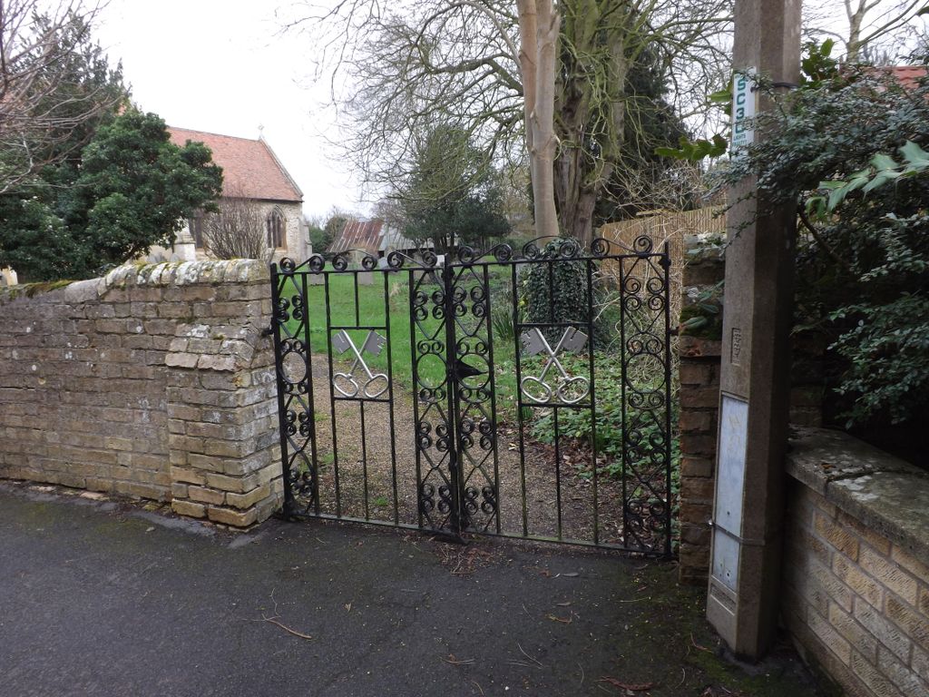
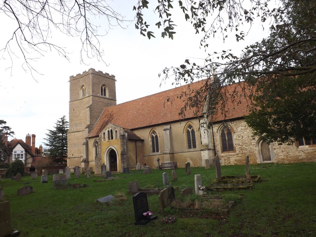
| Description | : | St Peter's church at Barton probably dates to the 11th century, though much of the current building is a product of a 14th century rebuilding. We don't know the exact date of the foundation, but there a record of 1270 indicates that an anchorite named Alice was living at the church. There is a wonderfully carved late 14th century screen, decorated with, among other things, a number of heraldic shields. Among these shields are some bearing the arms of Thomas Arundel, Bishop of Ely from 1374 to 1388, which gives us good evidence for the date of the screen. Nearby in... Read More |
frequently asked questions (FAQ):
-
Where is St Peter Churchyard?
St Peter Churchyard is located at School Lane Barton, South Cambridgeshire District ,Cambridgeshire , CB23 7BDEngland.
-
St Peter Churchyard cemetery's updated grave count on graveviews.com?
0 memorials
-
Where are the coordinates of the St Peter Churchyard?
Latitude: 52.1818390
Longitude: 0.0576870
Nearby Cemetories:
1. Woodland Burial Ground Barton Glebe
Barton, South Cambridgeshire District, England
Coordinate: 52.1861040, 0.0463150
2. St Mark's Church Newnham Burial Ground
Cambridge, City of Cambridge, England
Coordinate: 52.1855200, 0.0705000
3. St. Mary Churchyard
Comberton, South Cambridgeshire District, England
Coordinate: 52.1804400, 0.0225700
4. St. Andrew and St. Mary Churchyard
Grantchester, South Cambridgeshire District, England
Coordinate: 52.1787870, 0.0953110
5. St. Peter's Churchyard
Coton, South Cambridgeshire District, England
Coordinate: 52.2101310, 0.0606820
6. St Mary and St Michael Churchyard
Trumpington, City of Cambridge, England
Coordinate: 52.1738770, 0.1084820
7. All Saints Churchyard
Haslingfield, South Cambridgeshire District, England
Coordinate: 52.1497600, 0.0504370
8. Cambridge American Cemetery and Memorial
Coton, South Cambridgeshire District, England
Coordinate: 52.2171211, 0.0552860
9. Trumpington Parish Extension
Trumpington, City of Cambridge, England
Coordinate: 52.1711100, 0.1129400
10. St Helen Churchyard
Little Eversden, South Cambridgeshire District, England
Coordinate: 52.1609000, 0.0083300
11. St Andrew Churchyard
Toft, South Cambridgeshire District, England
Coordinate: 52.1834320, -0.0088580
12. St Edmund Churchyard
Hauxton, South Cambridgeshire District, England
Coordinate: 52.1490100, 0.0972800
13. St Mary Churchyard
Hardwick, South Cambridgeshire District, England
Coordinate: 52.2085500, 0.0069700
14. Queen's College Chapel
Cambridge, City of Cambridge, England
Coordinate: 52.2023456, 0.1162151
15. Peterhouse College
Cambridge, City of Cambridge, England
Coordinate: 52.2009000, 0.1184000
16. Little Saint Mary Churchyard
Cambridge, City of Cambridge, England
Coordinate: 52.2012650, 0.1184580
17. St Catherines College
Cambridge, City of Cambridge, England
Coordinate: 52.2030000, 0.1169000
18. St. Botolph's Churchyard
Cambridge, City of Cambridge, England
Coordinate: 52.2024360, 0.1180740
19. Harston Burial Ground
Harston, South Cambridgeshire District, England
Coordinate: 52.1403600, 0.0723652
20. Kings College Chapel
Cambridge, City of Cambridge, England
Coordinate: 52.2047670, 0.1165080
21. Harston Baptist Church
Harston, South Cambridgeshire District, England
Coordinate: 52.1417850, 0.0823550
22. St Mary Churchyard
Great Eversden, South Cambridgeshire District, England
Coordinate: 52.1613300, -0.0036400
23. St Mary Magdalene Churchyard
Madingley, South Cambridgeshire District, England
Coordinate: 52.2235570, 0.0408820
24. St Benet's Church
Cambridge, City of Cambridge, England
Coordinate: 52.2038430, 0.1181450