| Memorials | : | 0 |
| Location | : | Lavenham, Babergh District, England |
| Coordinate | : | 52.1039670, 0.7883200 |
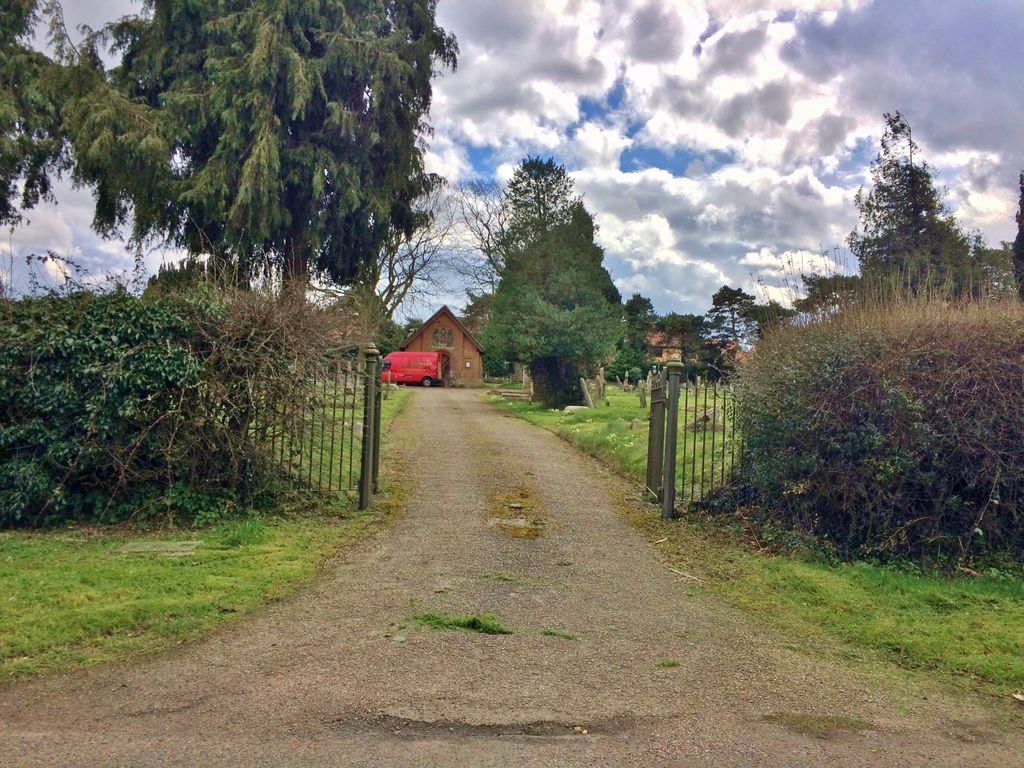
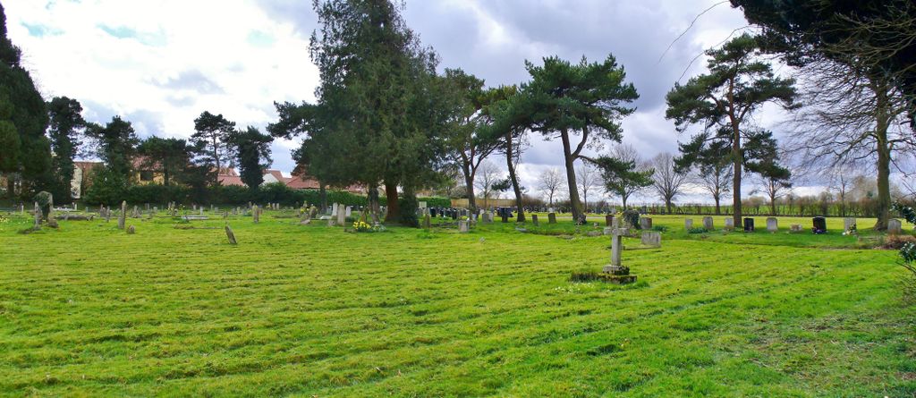
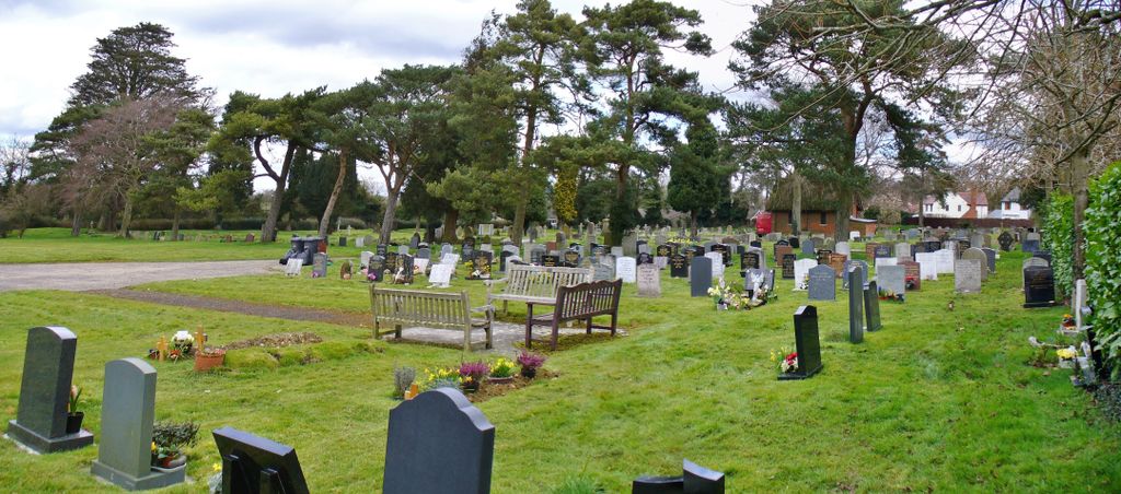
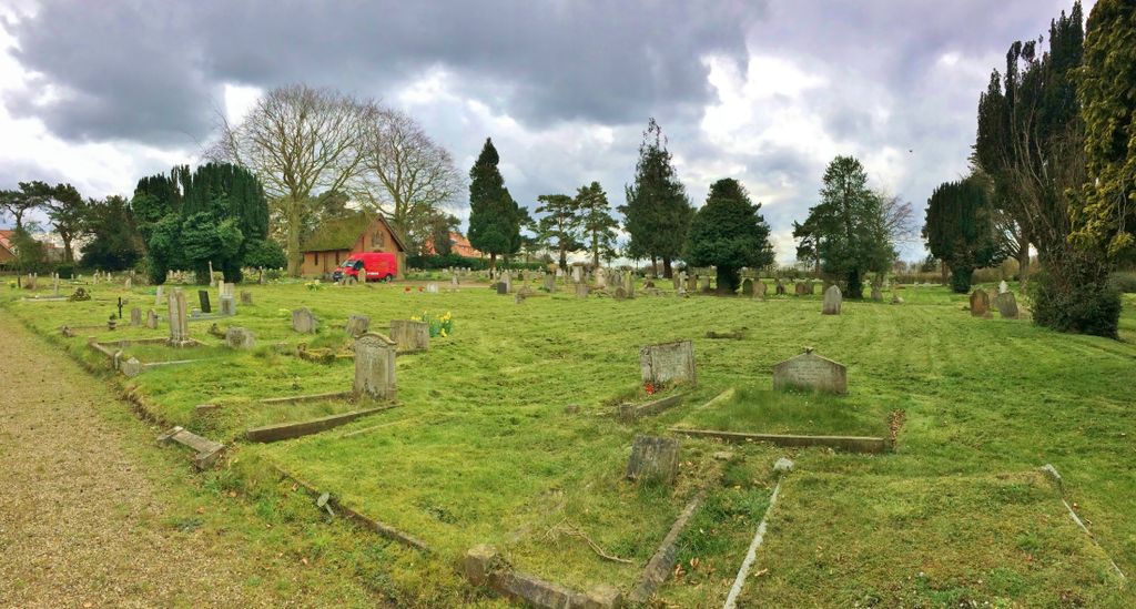
| Description | : | This is in Bridge Street Road, it was opened in 1893, and now belongs to the Parish Council. |
frequently asked questions (FAQ):
-
Where is Lavenham Cemetery?
Lavenham Cemetery is located at Lavenham, Babergh District ,Suffolk ,England.
-
Lavenham Cemetery cemetery's updated grave count on graveviews.com?
0 memorials
-
Where are the coordinates of the Lavenham Cemetery?
Latitude: 52.1039670
Longitude: 0.7883200
Nearby Cemetories:
1. Saint Peter and Saint Paul Churchyard
Lavenham, Babergh District, England
Coordinate: 52.1062530, 0.7917130
2. St. Mary's Church of England
Milton Keynes Borough, England
Coordinate: 52.0769560, 0.7937130
3. St Mary Churchyard
Brent Eleigh, Babergh District, England
Coordinate: 52.0983910, 0.8341560
4. St Lawrence Churchyard
Little Waldingfield, Babergh District, England
Coordinate: 52.0715620, 0.8059600
5. St Mary's Churchyard
Preston St Mary, Babergh District, England
Coordinate: 52.1166280, 0.8410180
6. All Saints Churchyard
Acton, Babergh District, England
Coordinate: 52.0729650, 0.7598490
7. Ss Peter & Paul Churchyard
Alpheton, Babergh District, England
Coordinate: 52.1207310, 0.7350230
8. St Lawrence Churchyard
Great Waldingfield, Babergh District, England
Coordinate: 52.0606620, 0.7879070
9. Holy Trinity Churchyard
Long Melford, Babergh District, England
Coordinate: 52.0877110, 0.7207640
10. St Peter's Churchyard
Milden, Babergh District, England
Coordinate: 52.0824970, 0.8569200
11. Monks Eleigh United Reformed Church
Monks Eleigh, Babergh District, England
Coordinate: 52.0918390, 0.8673530
12. Saint Peter's Churchyard
Monks Eleigh, Babergh District, England
Coordinate: 52.0930860, 0.8688960
13. St. Mary's Churchyard
Thorpe Morieux, Babergh District, England
Coordinate: 52.1443020, 0.8387590
14. St Mary Churchyard
Kettlebaston, Babergh District, England
Coordinate: 52.1158580, 0.8698780
15. Independent Chapel Cemetery
Long Melford, Babergh District, England
Coordinate: 52.0755010, 0.7157700
16. Cockfield Burial Ground
Cockfield, Babergh District, England
Coordinate: 52.1587375, 0.7894545
17. St Peter's Churchyard
Cockfield, Babergh District, England
Coordinate: 52.1597570, 0.7826470
18. Cockfield Congregational Churchyard
Cockfield, Babergh District, England
Coordinate: 52.1635212, 0.7976324
19. St. James Churchyard
Stanstead, Babergh District, England
Coordinate: 52.1116820, 0.6909100
20. Liston Churchyard
Liston, Braintree District, England
Coordinate: 52.0703970, 0.7017420
21. All Saints Churchyard
Chelsworth, Babergh District, England
Coordinate: 52.0941820, 0.8896270
22. All Saints Churchyard
Lawshall, Babergh District, England
Coordinate: 52.1552780, 0.7239140
23. St Mary the Virgin Churchyard
Edwardstone, Babergh District, England
Coordinate: 52.0435300, 0.8283500
24. St Mary Magdelene
Bildeston, Babergh District, England
Coordinate: 52.1056020, 0.8982980


